


![]()
Sarah
and I decided that her first backpacking trip would be to Angel Island,
I am pretty sure that her brother influenced her decision some, as he
really likes this trip. 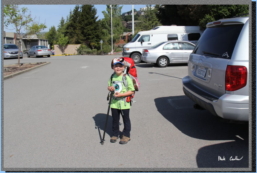 I have been here a few times now (see trip to Sunrise
site #8 in 2010, East Bay site# 2 in 2013 and East Bay site#1 in 2013 ). Sunrise camp
does have uninterrupted views but East Bay site #1 is huge, away from
neighbors, has shade and some shelter from wind. I think all three East
Bay sites rock compared to Sunrise on the whole. Each group of sites has
a water faucet and pit toilet. We did the Tiburon
Ferry as the pier one ferry from Blue
and Gold doesn't have as many options this time of year. We caught
the 11 am ferry out of tiburon and if is about a ten minute ride. We parked
at Bank of America for $5, about two blocks away from ferry. There is
a closer option for $25 if you are so inclined. You have to pay in cash
to park (to a machine) and when boarding the ferry (to a person) so hit
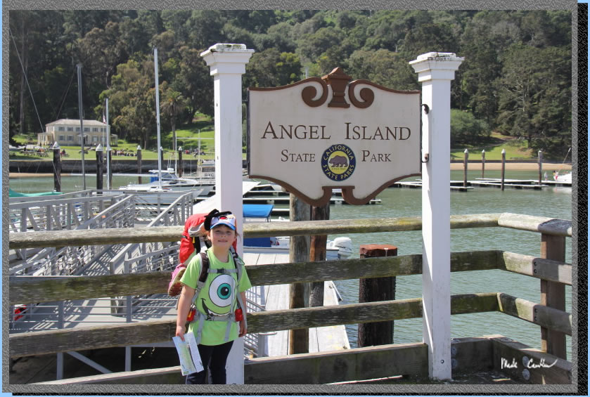
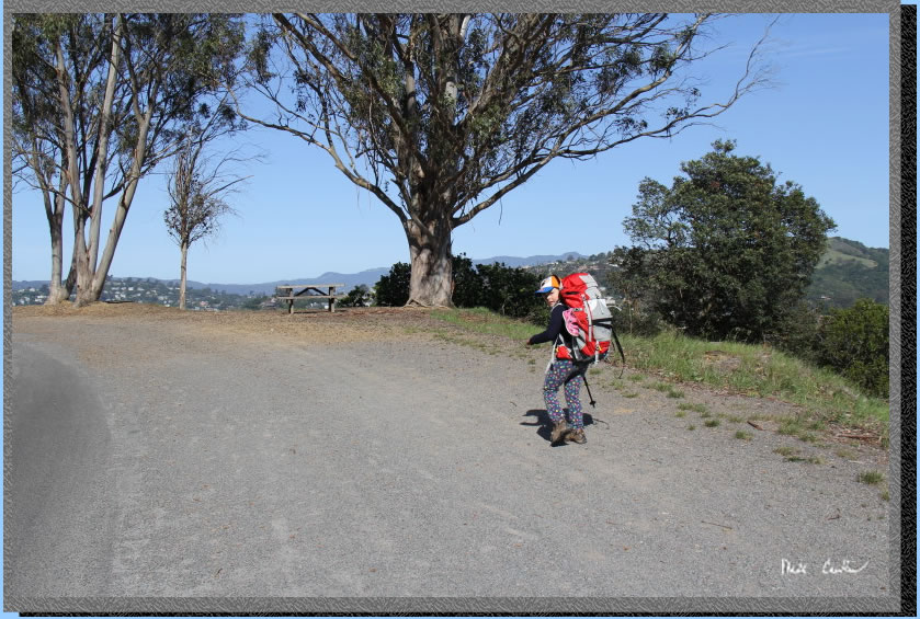
the ATM after parking or plan ahead. Here is Sarah after we parked the
car.
I have been here a few times now (see trip to Sunrise
site #8 in 2010, East Bay site# 2 in 2013 and East Bay site#1 in 2013 ). Sunrise camp
does have uninterrupted views but East Bay site #1 is huge, away from
neighbors, has shade and some shelter from wind. I think all three East
Bay sites rock compared to Sunrise on the whole. Each group of sites has
a water faucet and pit toilet. We did the Tiburon
Ferry as the pier one ferry from Blue
and Gold doesn't have as many options this time of year. We caught
the 11 am ferry out of tiburon and if is about a ten minute ride. We parked
at Bank of America for $5, about two blocks away from ferry. There is
a closer option for $25 if you are so inclined. You have to pay in cash
to park (to a machine) and when boarding the ferry (to a person) so hit
the ATM after parking or plan ahead. Here is Sarah after we parked the
car.
So we were off to the Tiburon Ferry. Wait why is there a fire truck out?
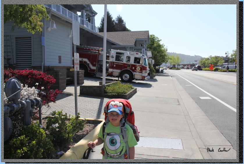
Sarah made friends with the Tiburon firemen and got to sit in the fire truck, lucky. So far the trip was going great (and we were only five minutes into it) .
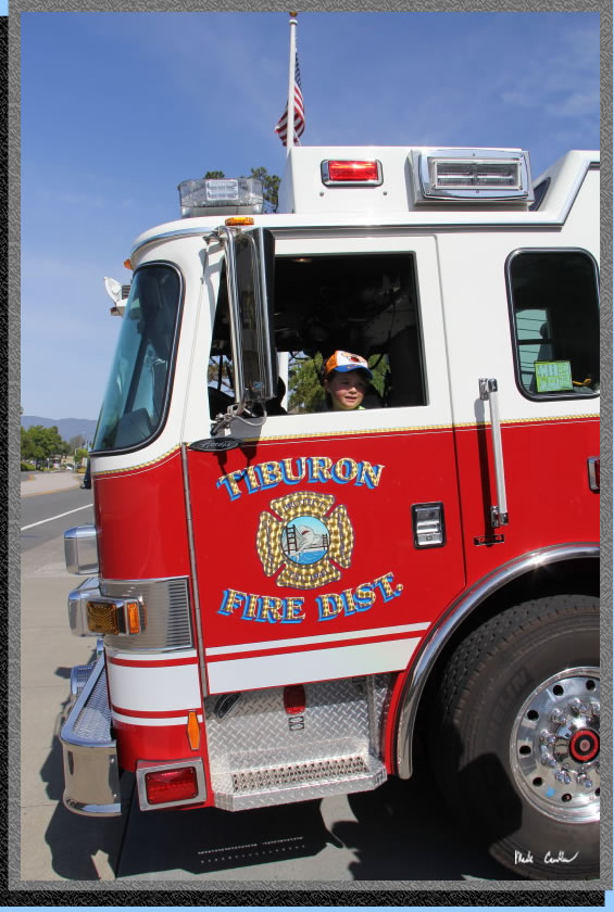
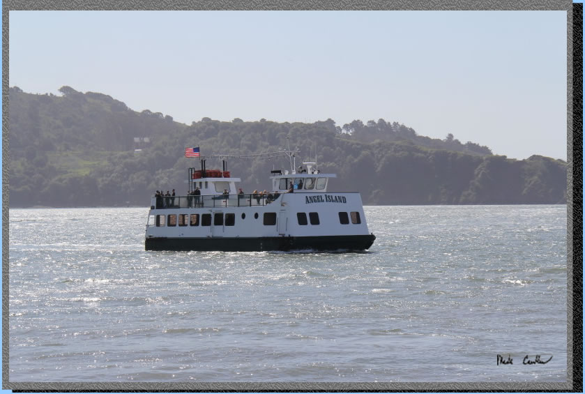
Once I convinced Sarah that a ferry ride is almost as fun as sitting in a fire truck we were off to the ferry terminals. There are two ferry docks, one for the Blue and Gold Fleet and the other for the Angel Island - Tiburon Ferry (make sure you take the right one) . The ferry ride is a short ten minutes from Tiburon. There is limited service from this ferry during the non summer months, so be sure to check ferry schedules using the links above before you use reserveamerica to book your site (unless you have a private boat of your own). Here is the ferry coming in to get us.
We made it across the bay and checked in with the ranger on the island.
There are a few ways to get to the East Bay sites. If you want to explore
use the long route described here.
We decided to checkout the visitor center before heading back to "The Cove Cafe" for lunch.
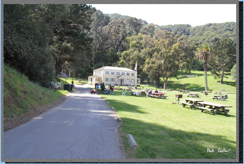
So we had a nice lunch (a little packed as we hit it when a ferry just pulled up). Hit the cafe between ferries or you will have to wait in a long line. They move pretty quick though for such a little place. We used the trail north of the cafe and the stairs to the paved perimeter road (see map below). Here is the road and Sarah. The North Ridge Trail is just on the other side. We took the trail to the unpaved Fire Road to camp. I should mention that the Perimeter Road has nice views and benches/tables along the way so take a break and enjoy them. The downside of the Perimeter Road is that the tours and bikes travel them and there is not much shade. If you want more solitude or shade use the trails and Fire Road to get around. Both the Perimeter Road and the Fire Road make a complete circle around the island. See map below for your options to get around. Bikes are not allowed on the trails only the Fire Road and Perimeter Road. They are also not allowed at the Immigration Station but there are a couple bike racks. . All trails are well maintained.
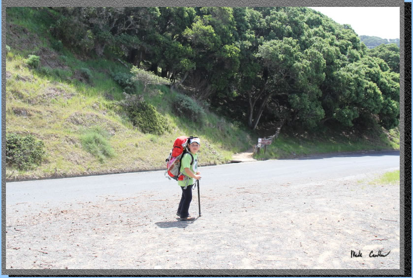
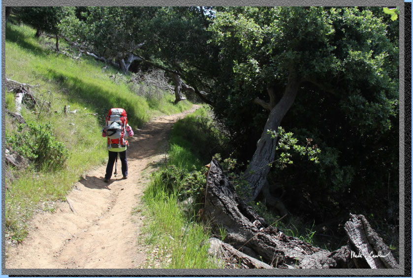
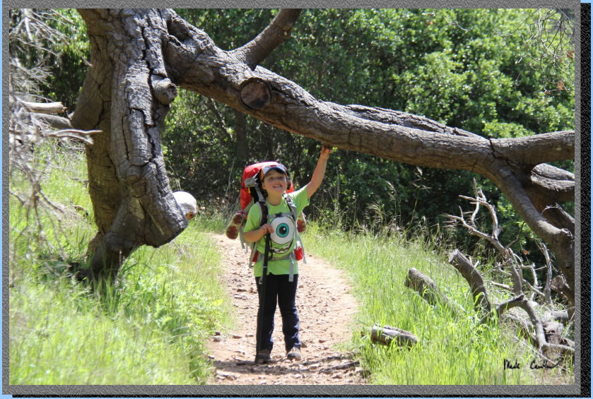
Here is an example of the trail (That is Sarah hiking along). There are some shaded sections so if it is warm I would recommend you get on the trail. Being on the bay usually means a breeze and can mean fog, so heat is not usually a problem.
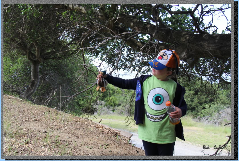
Here is Sarah holding up a tree for me. There is poison oak and ticks on the island so be keep an eye out for both and you will be fine. Trails are well maintained so if you stay on the you should be fine.
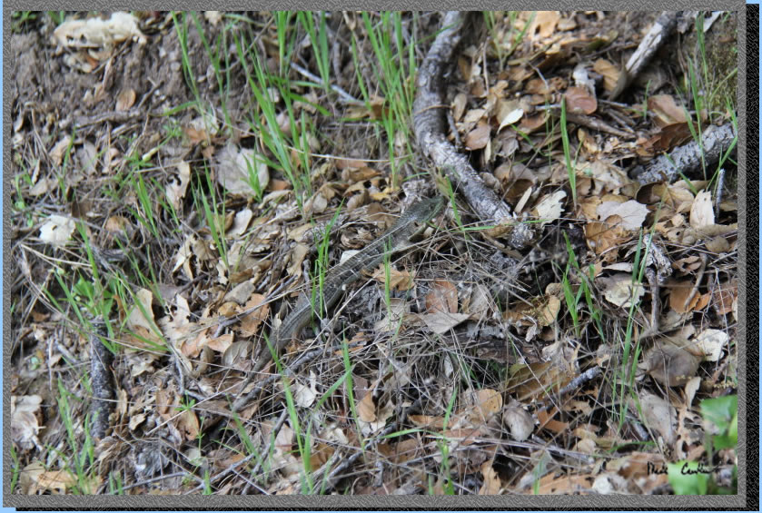
This was the first critter we saw on the trail. Look close.
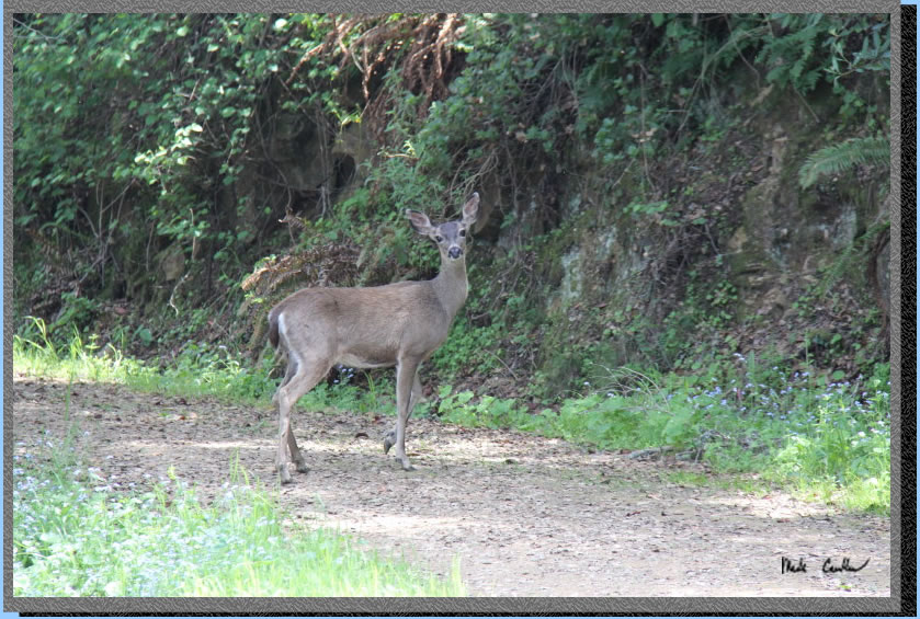
Here is the second, bigger, critter we saw. Sarah was impressed that the deer could jump straight up the cliff to the right and then just disappear in the brush above.
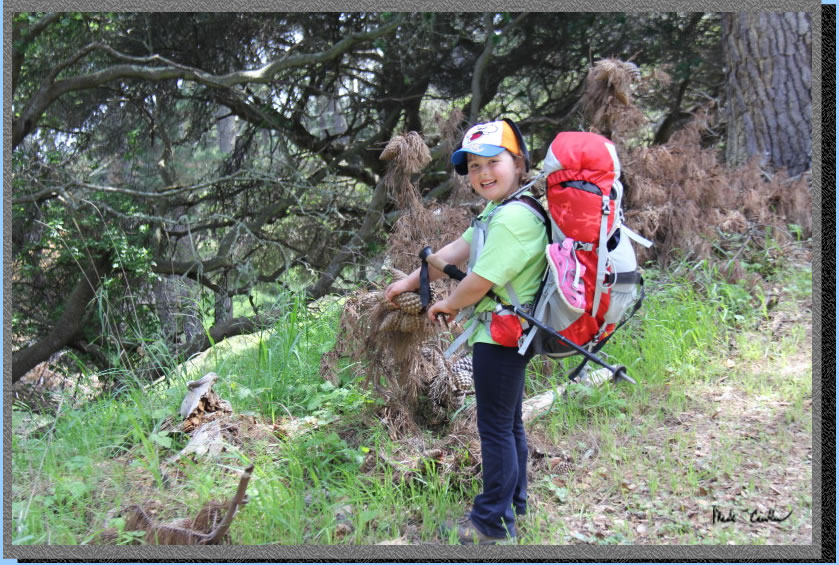
Here is sarah trying to collect some pine cones. I tried explaining the concept of sap but I was overruled by the coolness of pine cone collecting. All pine cones were left on the island. Leave no Trace.
Here is Sarah and ducky. Ducky even had a bed and toys in Sarah's backpack.
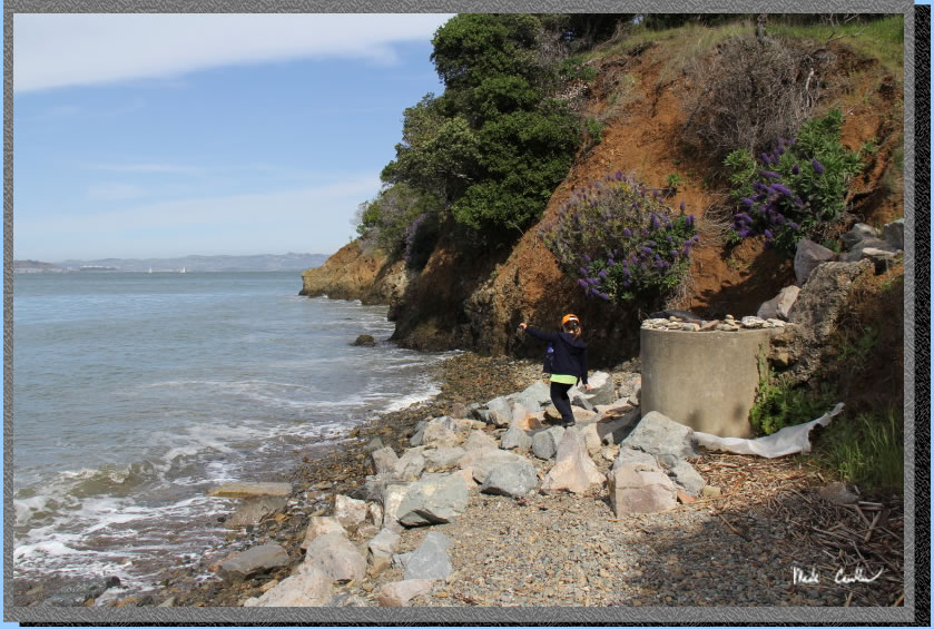
After setting up camp we hiked to the Immigration Station and explored. Here is Sarah at the beach looking southeast..
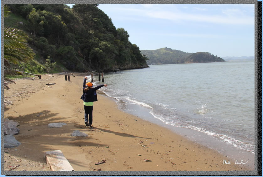
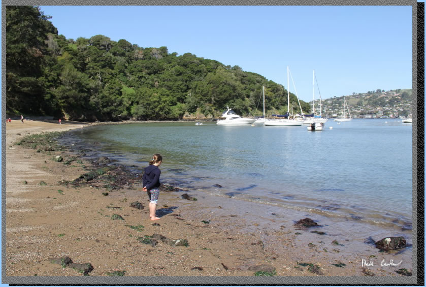
Here is Sarah throwing rocks in the bay on the northwest side of the beach. The beach is small and is really small at high tide. Perfect though for Sarah.
.. 
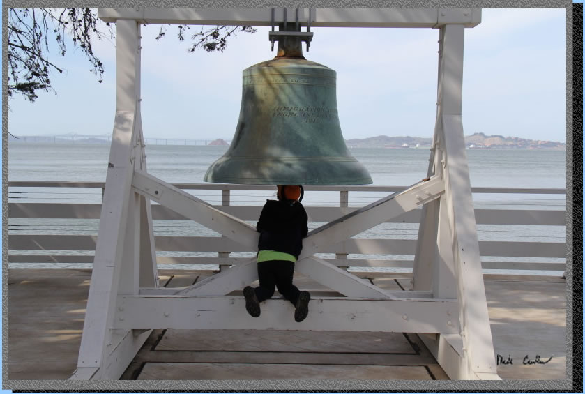
There is a lot of history to explore at the Immigration Station. Sarah was looking for a way to ring the bell. I am really glad there is no clapper in there, her ears would still be ringing. The Immigration Station also has a nice bathroom with running water.
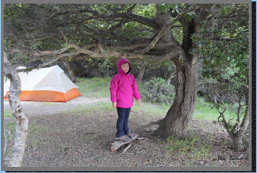
We headed back to camp and played in the trees after dinner. Well Sarah played in the trees. I thought I had put all of the food away after dinner, but a racoon reminded me of some bread that was in a small day pack I had. He picked it up and ran off with it. I chased him and was able to get the pack back. I got lucky that he dropped it, Sarah's duck was in that pack with the bread! The moral of the story here is the raccoons on this island are serious. I saw 4 or 5 different ones cruise by camp that evening. We had a pleasant evening that was fog free. Here is Sarah that evening after the backpack/duck rescue.
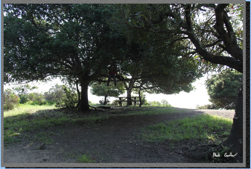
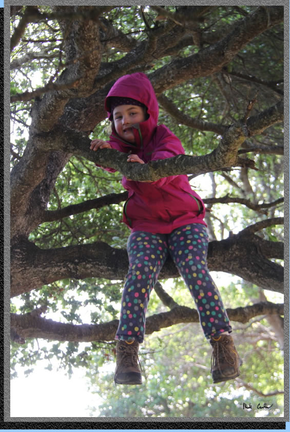
While I packed up the next morning Sarah was in the trees again, can you spot her?
She was really sad to leave that morning. I guess that means she likes this backpacking thing.
. 
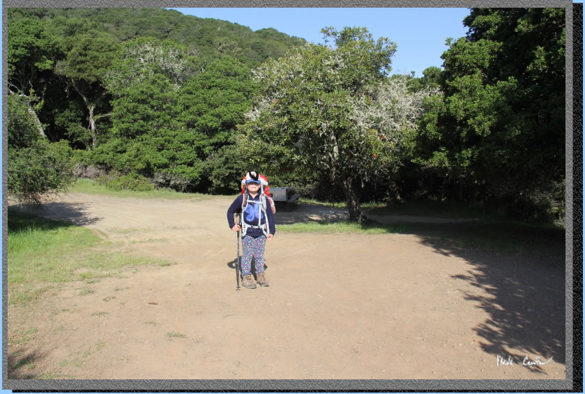
Here is Sarah ready to hit the trail again!
We used the Perimeter Road and stopped once for a snack and to enjoy the view of the bay.
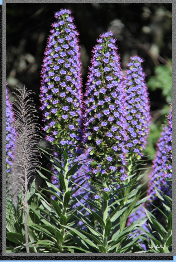
There are some interesting plants on the island. This one sure attracted the insects and even a humming bird.
Sarah wanted to play at "the big beach" at Ayala Cove before we headed back on the ferry. The beach is pretty rocky but Sarah didn't seem to mind. This was another great trip to Angel Island. I am sure we will be back soon.
.
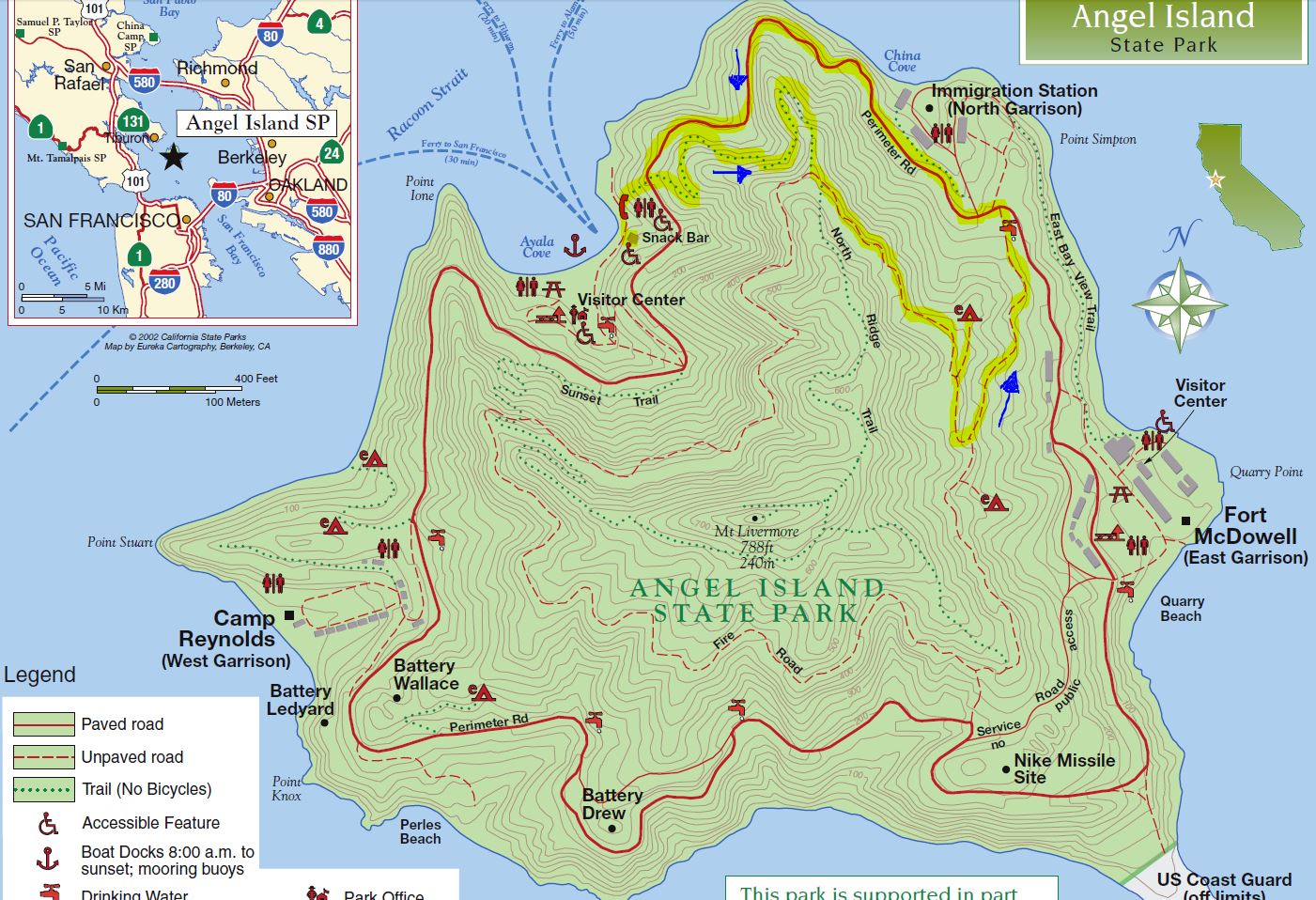
I didn't run my GPS on this trip so I highlighted our route on the official Angel Island State Park Map. This is an easy loop and do-able for even little hikers. Click on map to download full map.
.
(back
to top)