![]()
Back in April we
wanted to go backpacking here, Butano State Park, and do a nice 5.5
miles through some redwoods. Well with the state budget impasse, and
some crazy wet weathe,r the park was not open to camping yet. So we
 decided
to exercise our backup plan of Stewarts Camp in the Ohlone Wilderness
via Lake Del Valle. Well that was full on the Friday night, so we needed
so we exercised option c and reserved the last spot in the Ohlone Wilderness
that Friday night, Boyd Camp. While Boyd
camp was nice we really wanted to get out and see what Butano had to
offer so we tried again in June (oh, and still no budget, but at least
they were open). Butano Trail Camp does not allow reservations. There
are 8 "environmental sites" with a pit toilet and NO water.
You can either pack your own in or do like us and filter on the way
in. You pass some streams about a mile from camp. Not sure if they remain
available all year, so I would check with ranger ahead of time. Do not
count on a ranger being at the gate. We arrived on a Saturday mid morning
and we had to self register using the iron ranger. The 8 sites are first
come first serve (and $10) so you could conceivably arrive and not have
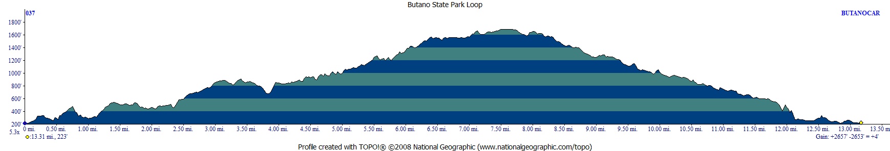
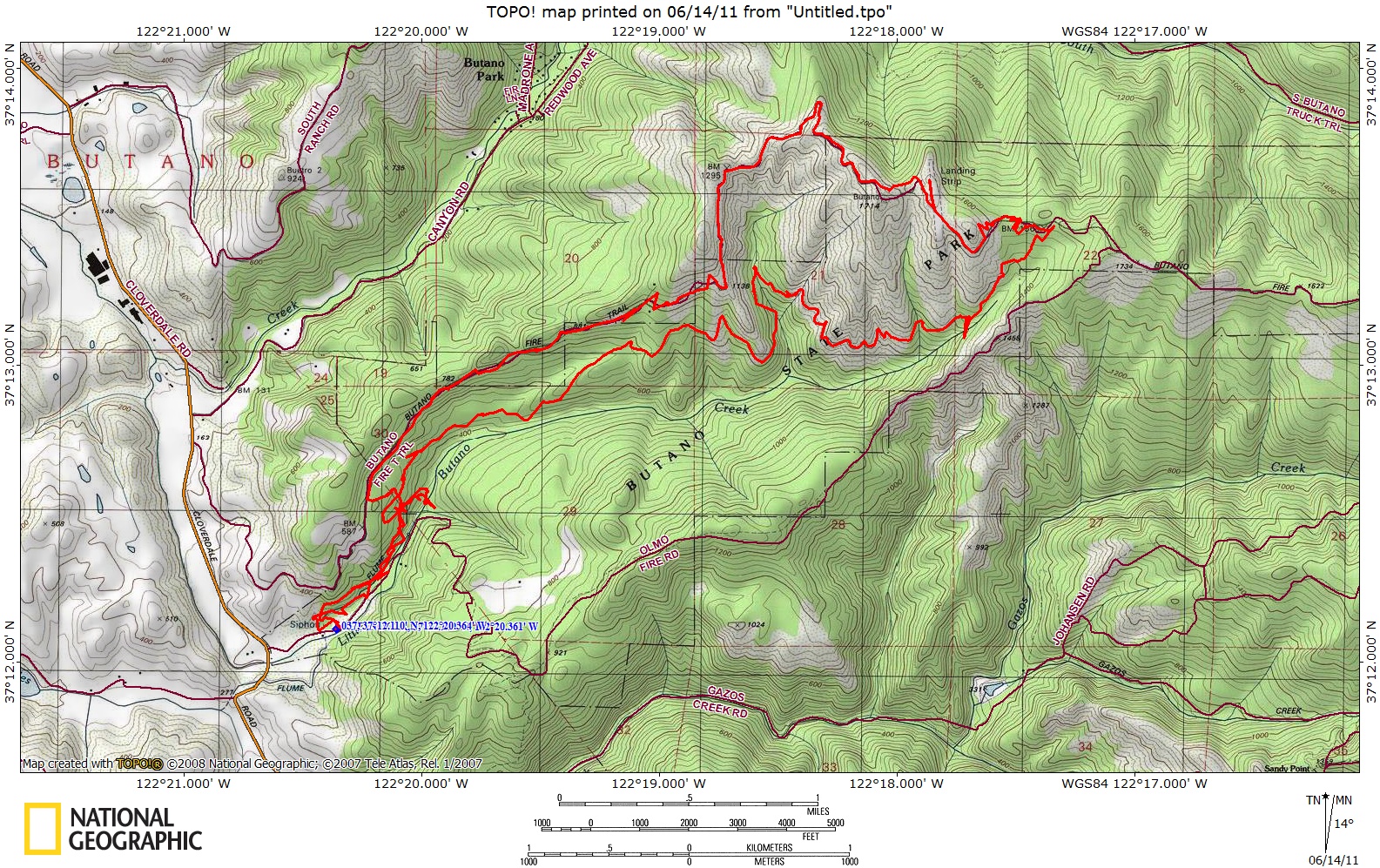
a site. It is about 5.5 miles from trailhead to the camping area via
the Jackson Flat Trail, see map and profile below.
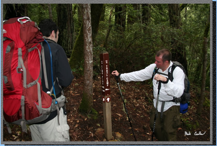
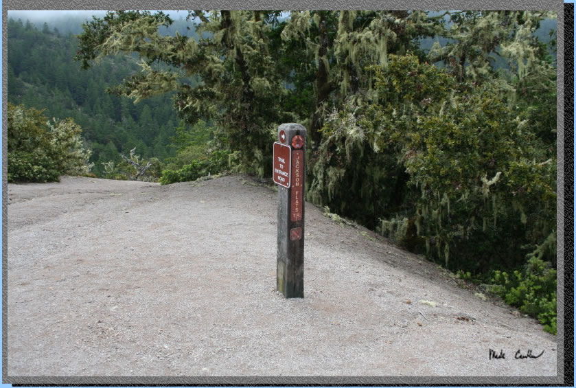
To get to the trailhead leave highway 1 and head west on Pescadero Road,
pass Pescadero and then head south on Cloverdale Road to Butano State
Park. We parked at the gate/Visitor Center (see the stop sign in the
picture). We did happen to see a ranger before we left, but he just
asked us if we had any questions (without getting out of his vehicle).
I think we asked him about water and he told us that he hadn't been
up there is a while, so didn't know for sure if water was still flowing
(it was and in more than one spot). It was a damp morning with the fog
in pretty thick.
decided
to exercise our backup plan of Stewarts Camp in the Ohlone Wilderness
via Lake Del Valle. Well that was full on the Friday night, so we needed
so we exercised option c and reserved the last spot in the Ohlone Wilderness
that Friday night, Boyd Camp. While Boyd
camp was nice we really wanted to get out and see what Butano had to
offer so we tried again in June (oh, and still no budget, but at least
they were open). Butano Trail Camp does not allow reservations. There
are 8 "environmental sites" with a pit toilet and NO water.
You can either pack your own in or do like us and filter on the way
in. You pass some streams about a mile from camp. Not sure if they remain
available all year, so I would check with ranger ahead of time. Do not
count on a ranger being at the gate. We arrived on a Saturday mid morning
and we had to self register using the iron ranger. The 8 sites are first
come first serve (and $10) so you could conceivably arrive and not have
a site. It is about 5.5 miles from trailhead to the camping area via
the Jackson Flat Trail, see map and profile below.
To get to the trailhead leave highway 1 and head west on Pescadero Road,
pass Pescadero and then head south on Cloverdale Road to Butano State
Park. We parked at the gate/Visitor Center (see the stop sign in the
picture). We did happen to see a ranger before we left, but he just
asked us if we had any questions (without getting out of his vehicle).
I think we asked him about water and he told us that he hadn't been
up there is a while, so didn't know for sure if water was still flowing
(it was and in more than one spot). It was a damp morning with the fog
in pretty thick.
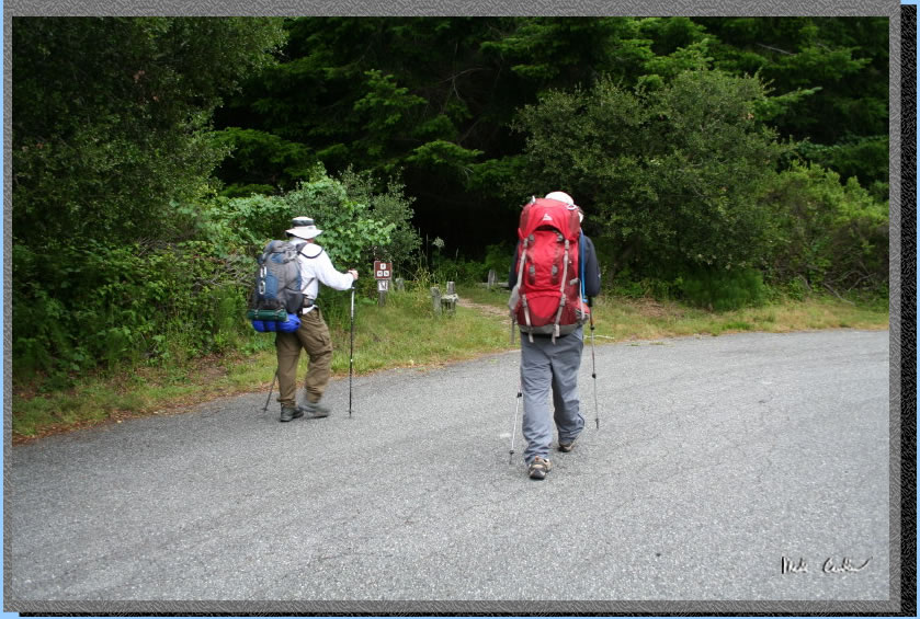
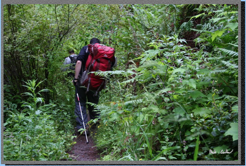
We (Dave, Leo and
I) left the trailhead at the Visitor Center and headed into the forest.
The trail is probably around 90 percent covered if you stay on the trails
and avoid the fire roads. We used the Jackson Flats Trail To Canyon
Trail to the Trail Camp. The cover was nice but it made for some low
light for the picture taking. I apologize in advance for being lazy
and not setting up a tripod on some of these shots to capture them correctly.
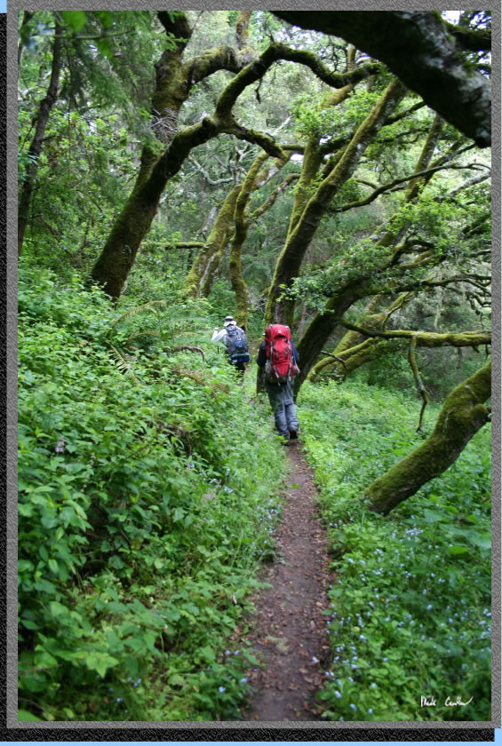
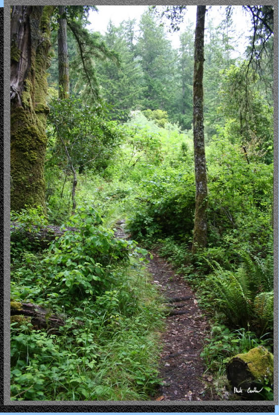
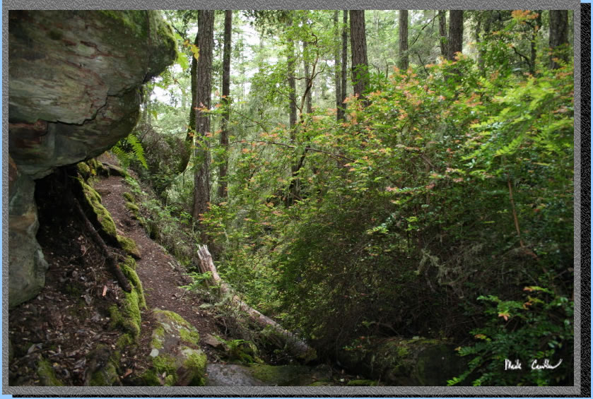
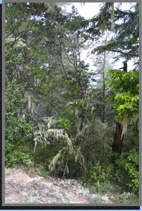
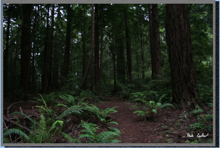
Everything on this
trail is green. The trail is well used and that is probably the only
reason it is not overgrown. The plants would definitely take over this
place should the humans stay away for a while..
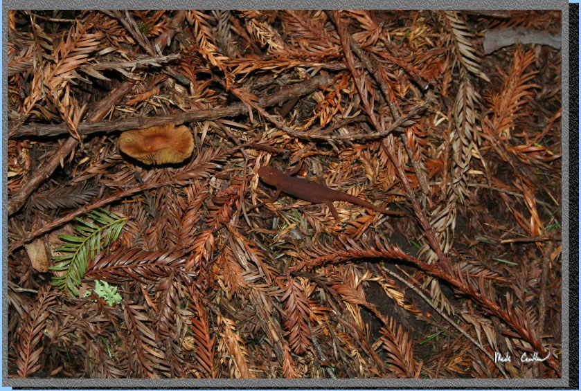
With all of the moisture the California Newts were out in force. Their
camouflage is too good at times and they don't move fast which makes
them even harder to spot. .
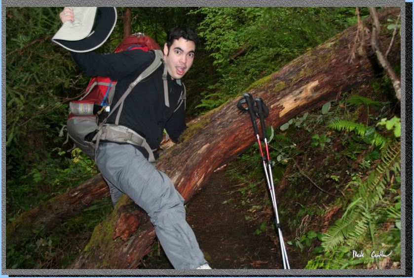
Here is Dave choosing to go over the fallen tree... not sure why he
looks surprised in this picture....
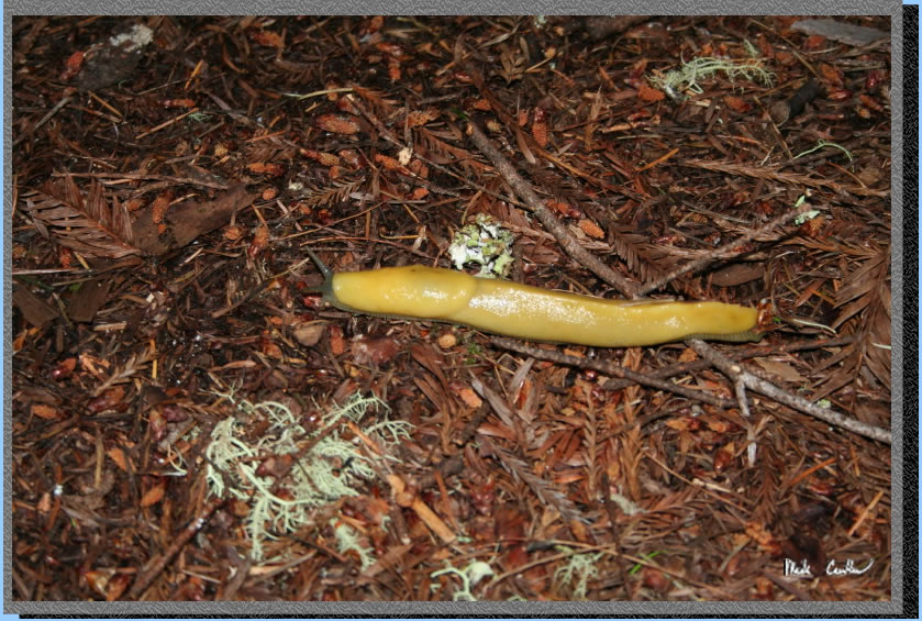
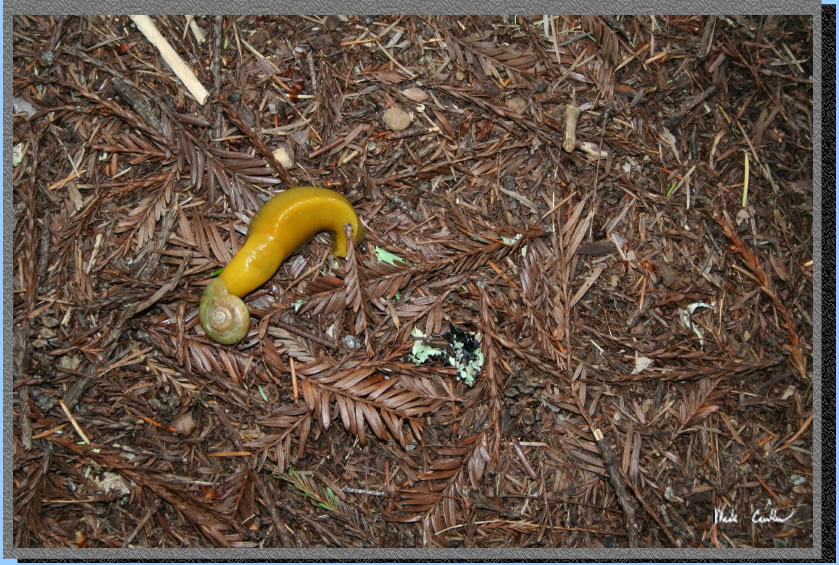
The other animal that was loving the damp conditions was the Banana
Slug. These guys were all over the place, and much easier to spot.
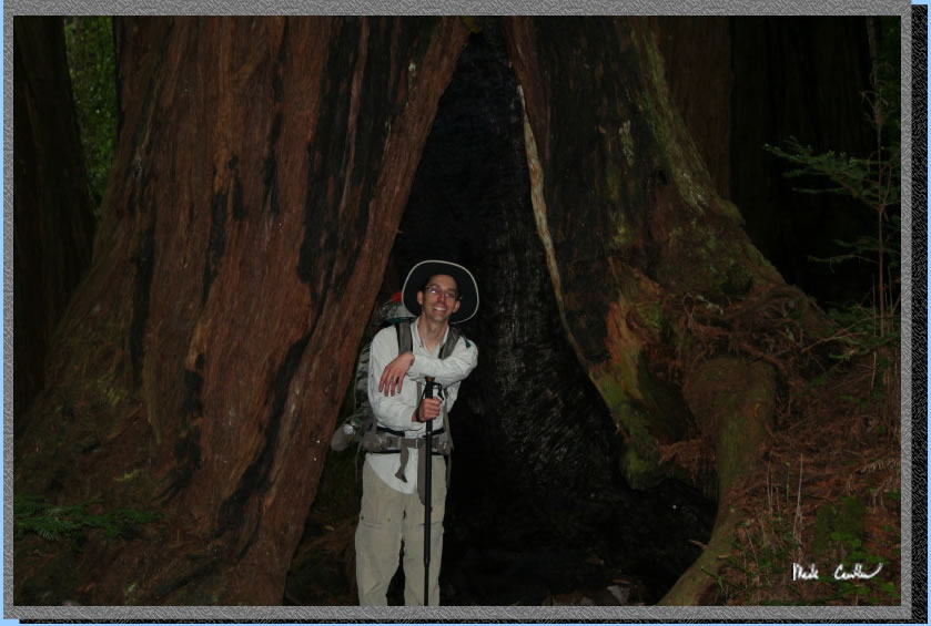
Here I am checking out the inside of this burned out tree. You could
tell that a decent fire must have raged through this area some time
ago. The fact that some of these trees can withstand a forest fire still
amazes me. Around this area we made a right at 4 way junction we should
have went straight. We had to back track a little so that added to our
mileage a little. Make sure to continue on the Jackson Flats Trail and
not go down the Mill Ox Trail to the road/Butano Creek...
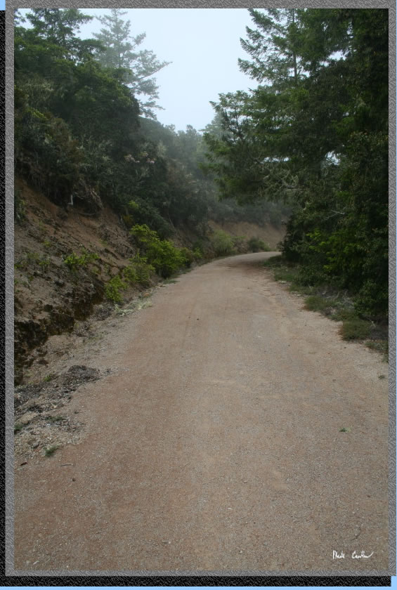
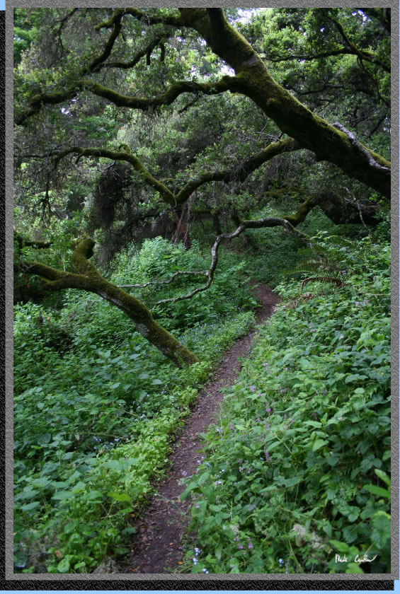
Here is another
shot of the trail conditions. Much of the trail is heavily covered so
don't let this shot of the sky fool you. I simply took the opportunity
of the available light to snap one of the trail
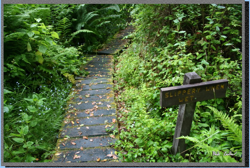
Another especially
damp section of the trail that was plank and wire covered. I hadn't
seen this technique before. It really was easy to walk on with the extra
grip the wire that was tacked on provided.
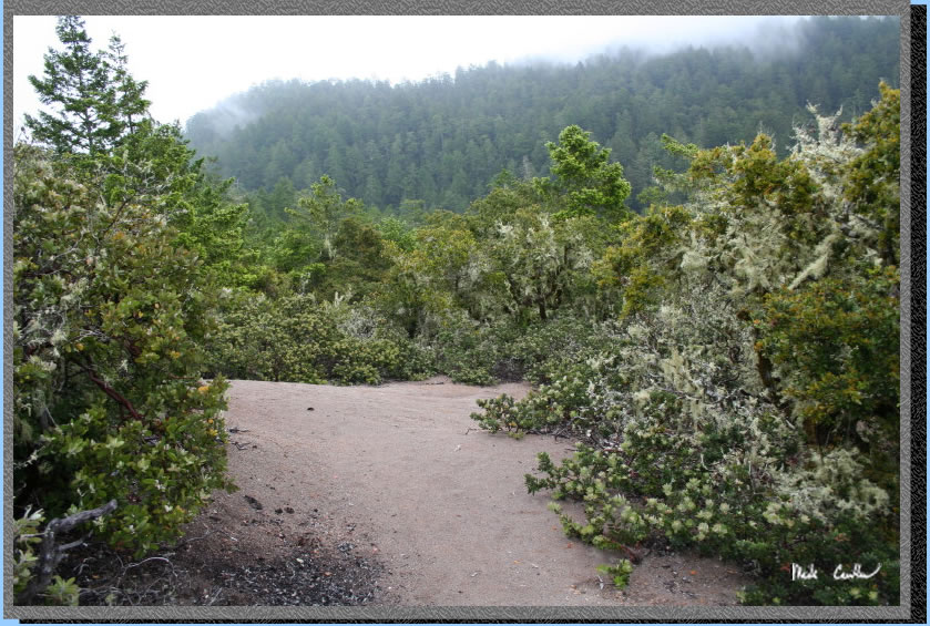
After climbing a bit you get to come out into a chaparral section that
feels a little strange after the miles with the heavy tree canopy. The
ground is actually sandy and you feel the difference in the air (and
the fact that there are no trees to drip on you). And, no Dave, it was
not raining...
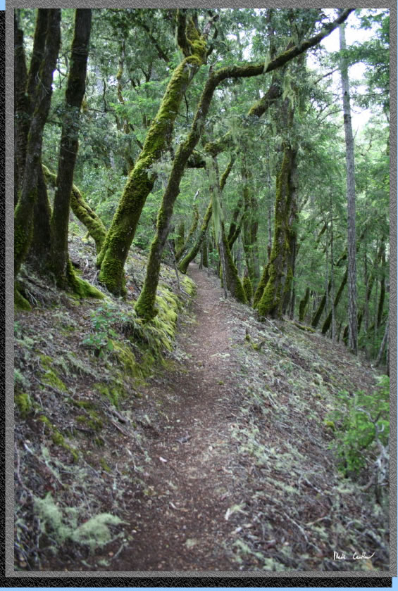
Even through the
drier sections everything was green. This area would be great if you
are trying to escape the heat during the summer.
So we pumped water at what we thought was the last stream before camp.
There are a few more stream crossings than I thought during the last
"100 yards" to camp... OK so maybe it was more that 100 yards.
I thought it was better to pump water on the way in, but in hindsight
you could probably just hike in to camp and then hike back out to pump
water if you desired. It was nice to just be able to chill at camp though,
so I think carrying the water the extra distance on the way in was worth
it.
So we hung a left here and headed to camp. We kind of kept a faster
pace than normal since there was a large family that was also headed
in to the camp for the night. We wanted to make sure we could pick a
site on one end, so as to not have to camp right next to (or possibly
in between this group's sites).
Here is another
Banana Slug on the way in. Not sure what the shell is. Any thoughts?
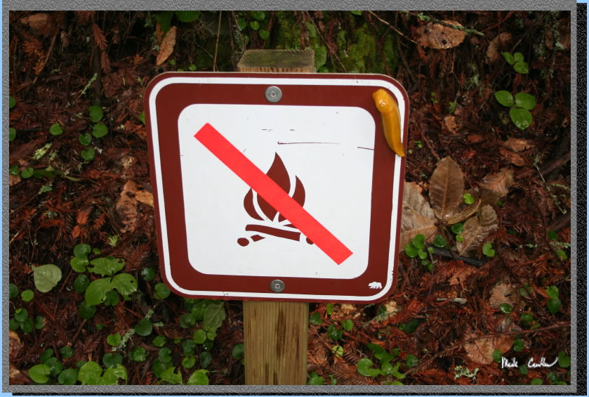
So as "Smokey"
the Banana Slug tells us here, there are no fires allowed at the Trail
Camp at any time. The Trail Camp sites are very nicely spaced and marked
well. You almost have a private trail to each one of them. There are
trash cans and a pit toilet at camp. We picked site #1 but only looked
at sites at the far end. We figured the family we passed would camp
at the near end (We guess correctly). We also had some Scouts camp here
that night. Even with a fairly large number of people camping it felt
like we had it too ourselves. Great site layout. All sites have some
good cover from what I saw. It was very damp that night under the redwoods.
It almost sounded like rain, Dave.
The next morning we packed up our soggy shelters and headed back via
the abandoned air strip and the Butano Fire Road. For fire roads this
was pretty nice. It was still plenty open compared to the single track
trails we sued on the way in but there were some sections that would
offer some shade. We liked the open feel since we were dripped on the
previous day and night. The abandoned air field was neat. I would like
to look up the history of it sometime. It seems like a weird spot for
an air strip.
Here is an open section of the fire road..
So the fire road on the way out is marked decent but seems to not jive
with the map very well to me. You have a couple opportunities to leave
the fire road and head back on single track. I think the signs warning
us of the park boundary threw us a little since they don't mark every
time you are out of the park. If you stay on the wide fire road you
will be fine though. We decided to head back through the Mill Ox Trail
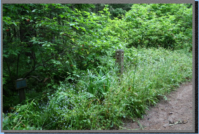
and then the Jackson Flats Trail on the way back. Junctions are marked
well. This is the first trail junction we could have taken to get onto
Jackson Flats Trail. We pressed on the Butano FIre Road.
Here is where the
Mill Ox Trail junction is. A little overgrown but you would have a hard
time missing it despite the picture you see here.
We made our way
through the narrow trail (You can tell this one does not get used as
much as the Jackson Flats Trail).
We were back in the Redwoods now. Ferns and big trees as far as you
could see (which isn't that far with how thick everything is0).
Overall this is a great trip. Except for no water at camp this place
is near perfect. I think if water was available at camp you would have
a hard time getting a spot. This is on my list for a return trip. We
did see one tick, and I am sure there is some Poison Oak out there,
but if you are careful neither one will "get" you.
The red line shows hike in to camp, (with our wrong turn) and hike back
out. Scroll down for elevation profile. We hiked in on the Jackson Flat
Trail and out on the Butano Fire Road (counter clockwise loop).
(back
to top)