


![]()
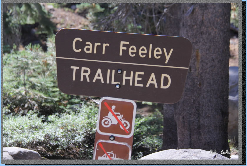 Permit
- Only a fire permit is required. You can get one online here . For questions about current conditions
call the ranger at 530-265-4531.
Permit
- Only a fire permit is required. You can get one online here . For questions about current conditions
call the ranger at 530-265-4531.
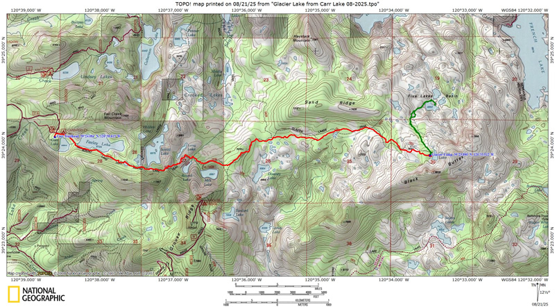
Mileage - The hike in was ~5.75 miles (advertised as 5.5, so pretty close). See map/profile below.
Camps/Water/Bathrooms Facilities - You are in the wilderness (national forest) so there are no facilities past the trailhead. There is no water at the trailhead but there are outhouses at the edge of Carr Lake (no trash facilities). There is unreliable cell coverage at the trailhead.
Hazards - Rattlesnakes, bears, ghost cattle, aggressive squirrels.
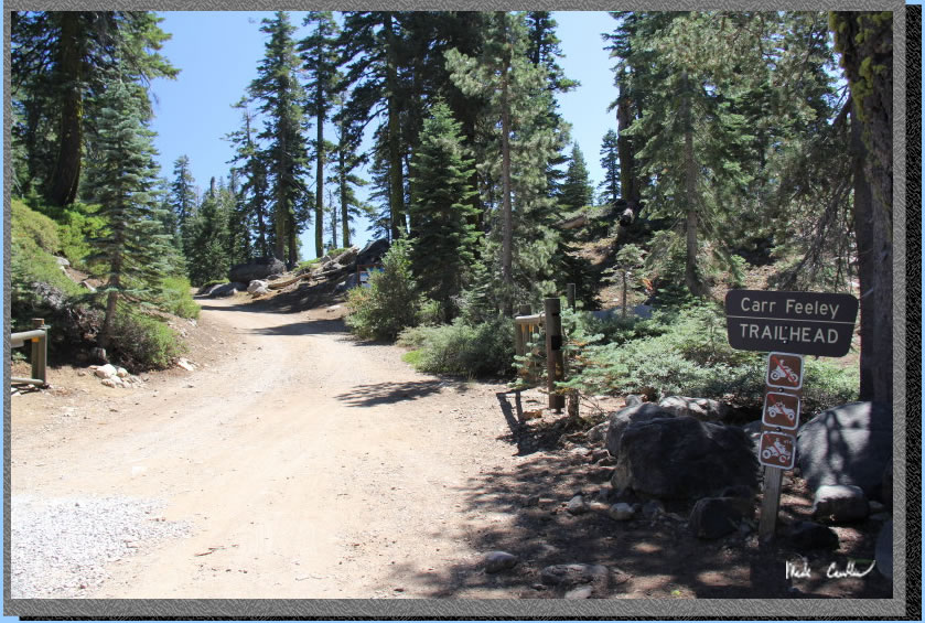
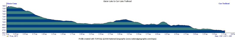
Leo and I went on this late summer trip to Tahoe National Forest. No permit is required except for a fire permit. Current fire restrictions for Tahoe National Forest did not allow for a campfire. However, you still need a permit to be allowed to use your camp stove. The trailhead is also the walk in campground for Carr Lake. Sites are scattered around the lake and there is an iron ranger at the trail informational signboard. To get to trailhead from Highway 80 take Highway 20 headed west for 5 miles. Turn right on Bowman Lake Road (Forest Road 18) Stay on this windy paved road (narrow in spots) for ~6 miles and turn right on Forest Road 17 toward Carr Lake on dusty dirt road. Road is narrow but recently graded due to PG&E doing work at Carr Lake. PG&E equipment taking up some of original parking lot at trailhead. We had one bar of service (Verizon) at trailhead but unable to text. We stopped for brunch in Auburn (Nancy's Cafe) which was great (very friendly staff and great american food options). Hit the trail after noon. However, the day was cool with nice breeze, so it worked out. See the map and profile below. The way in is mostly uphill, with a net of 1,200 feet up. Profile shows the way out on day three (just think backwards).
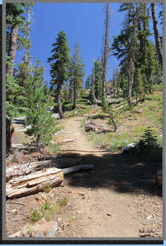
We quickly parked and got ready to hit the trail for our three day adventure. The trail starts out by following the gravel road past Carr Lake toward the Feeley Lake Dam. Here is the very first part of the trail you see from the parking lot.
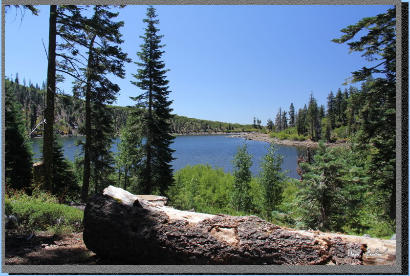
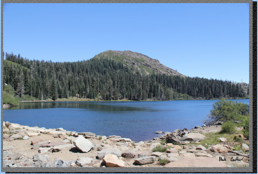
Here is Carr Lake. We were out her on a Monday so there wasn't a big crowd. We did see more campers at Glacier Lake than we expected. PG&E was working on the far side of this lake on our way out.
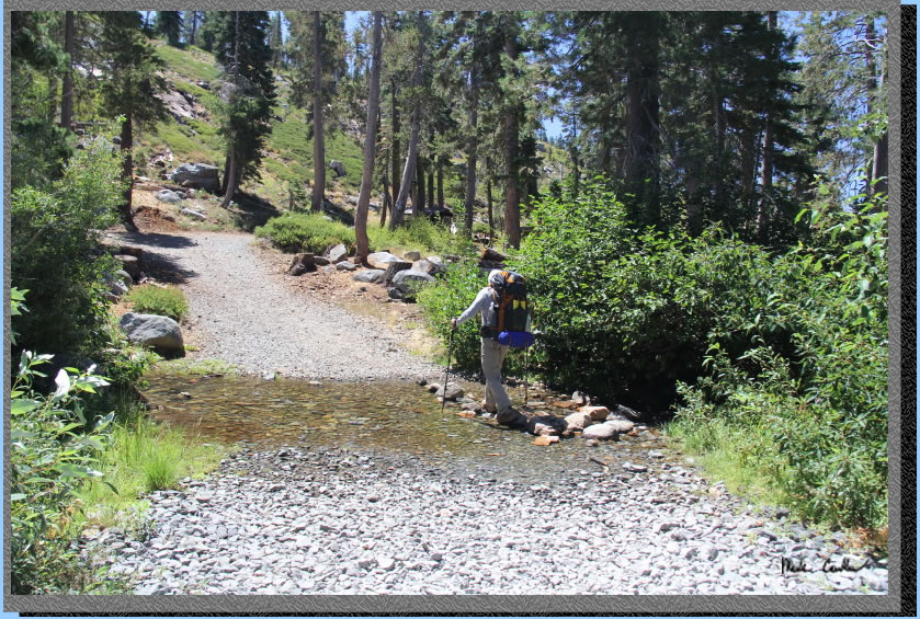
After the views of Carr Lake you will quickly arrive at the outlet of Feeley Lake below the dam). Here is Leo expertly navigating the inches of water we had to cross.
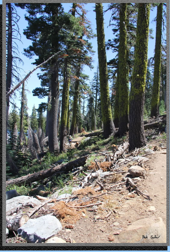
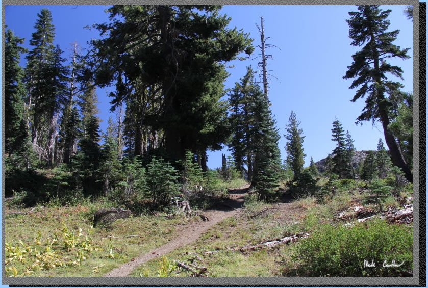
The trail continues up past the dam to the first views of Feeley Lake and Fall Creek Mountain. The trail stays on the south shore of Feeley Lake. The grade is gentle with partial cover (many trees through this section are dead).
Trail conditions through this section along Feeley Lake with gentle grades.
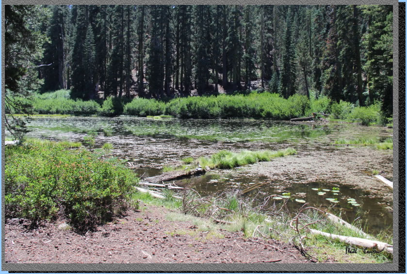
After you pass Feeley Lake you will come to this shallow unnamed lake and then hike up and over to the junction with Island Lake/Penner Lake.
Stay straight (not left) at the junction and continue uphill on rockier trail to good views.
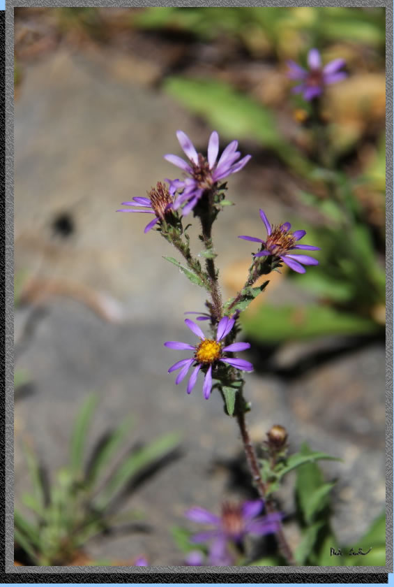
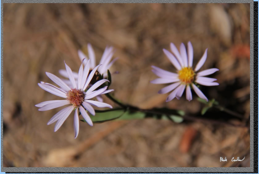
It was late in the season so the wildflowers were a little sparse and dry.
More of the uphill before better views of Island Lake.
Once you get up to the open section take a minute to enjoy the views of Island Lake (you can contemplate how this lake got its name while you catch your breath). We had a nice breeze to keep the clear sky perfectly blue on most of this trip.
Trail goes down to small stream crossing before you reach this junction for Round Lake. Nice tree cover through this section. Round Lake is just past the trees (so I went far enough to say "I saw it").
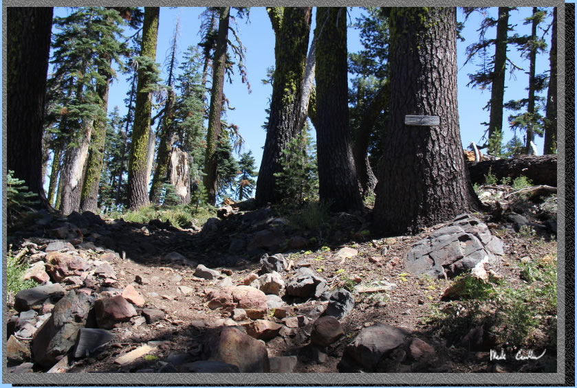
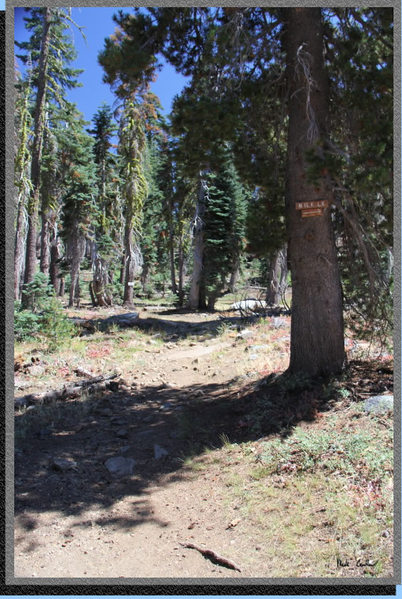
Trail continues down to another narrow stream crossing and then back up through partial shade to the first junction with Milk Lake on the right (it is faint so you could miss it). The trail continues up and will pass the signed junction with Milk Lake shown below. Stay left toward Grouse Ridge.
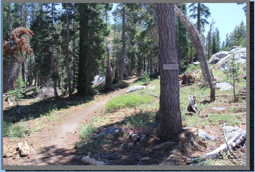
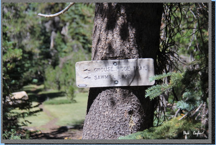
After Milk Lake you will continue uphill to to the junction with Grouse Ridge. This is an alternative trailhead that you can park at. Reviews online say it can be an adventure getting to the trailhead (4-wheel drive required). This trailhead is listed as 500 feet higher, so you would start the trip descending 500 feet. We stayed left at this junction toward Sand Ridge Trail and Glacier Lake. The trail we had been on, Round Lake Trail, changes names here to Grouse Ridge Trail. You continue mainly uphill on the Grouse Ridge Trail toward the next junction where Grouse Ridge Trail continues left toward Sawmill Lake. We continued right on the Glacier Lake Trail now through mostly covered uphill trail.
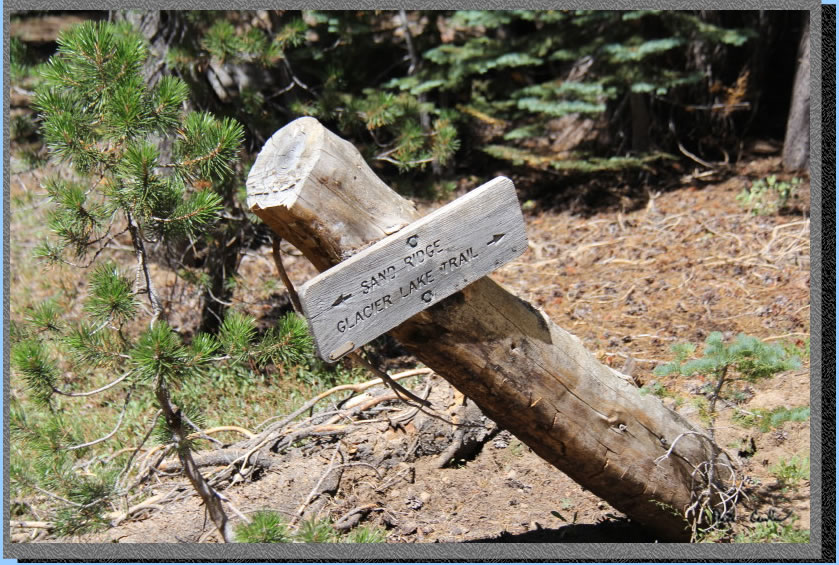
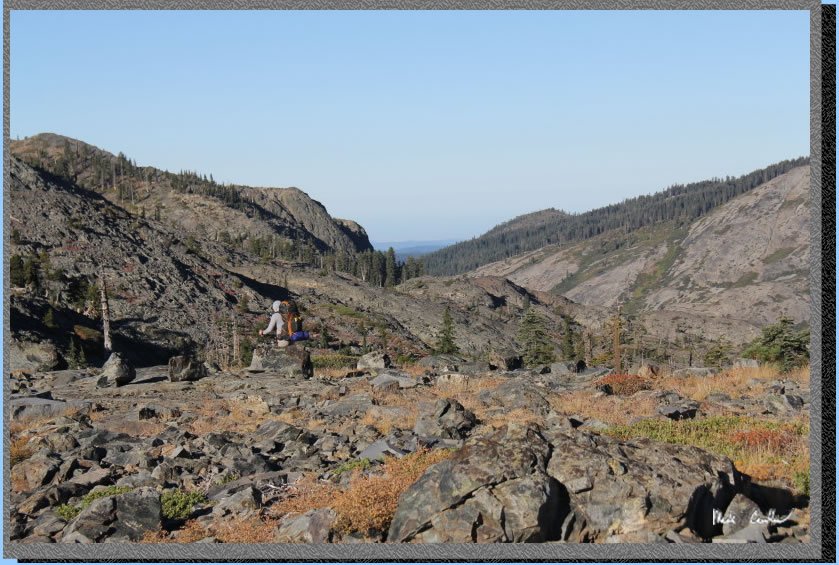
Here is the next junction with the Sand Ridge Trail. We talked to some backpackers on the way out that had made this trip a semi-loop by using the Sand Ridge Trail on the way out. They said it added a little time (30 minutes). Here is a shot of that junction.
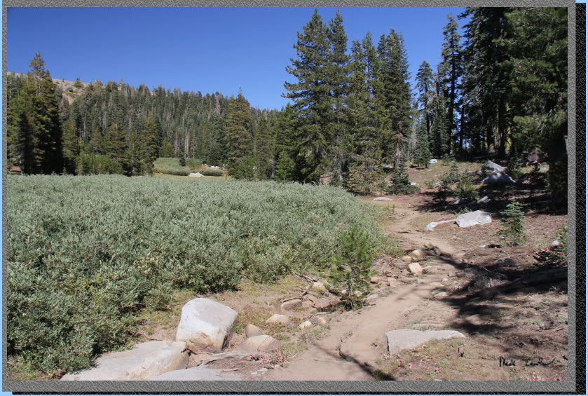
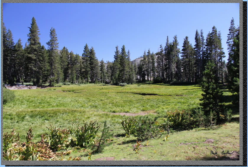
The trail eventually opens up as you can see in the image below. We thought this is likely called Bear Meadow since you could hide well in the bushes, if you were a bear. It made more sense when we were hiking... maybe the altitude was getting to us :-)
After passing a meadow on the left you will see another on the right as you see in the image below. This section of trail has some more level dirt sections, which is a nice break before the next rockier section.
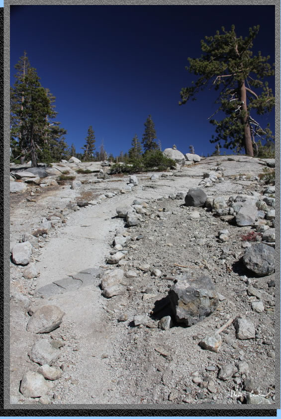
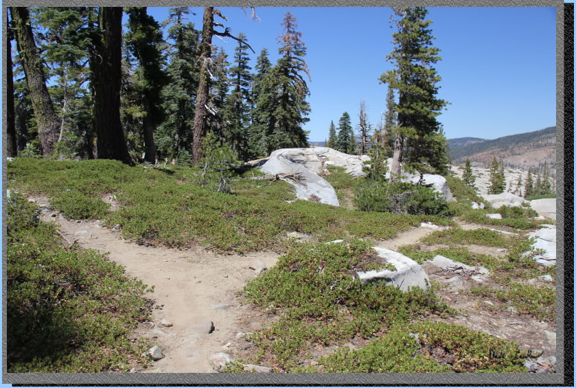
After enjoying the meadow views you will encounter some open granite sections with trail ducks/cairns guiding your way.You stay mainly to the left side of the open granite section. It was easy to see the way this time of year.
Trail continues uphill and you cross a small stream. The trail follows the same contour as the stream on the left side of the trail for a bit until you cross it again. Here is a shot of the conditions through this section.
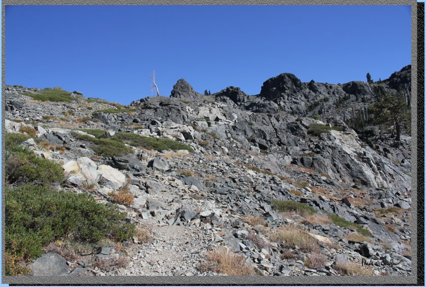
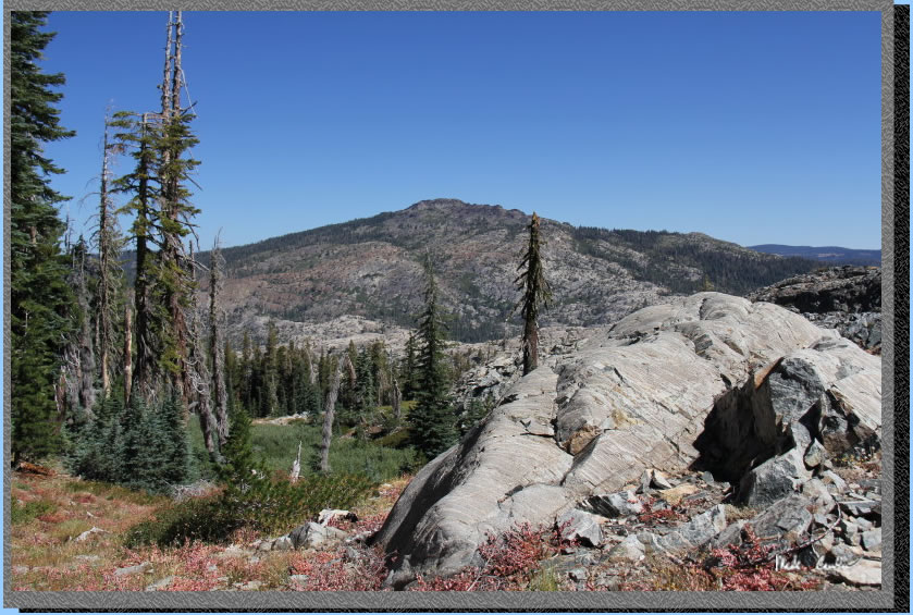
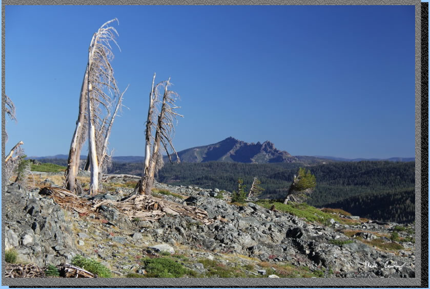
The last stretch is more rocky and more uphill. This shot shows the Black Buttes in the distance. You are close at this point.
We setup camp after catching our breath. We were a little surprised there were a few other groups at this lake. We camped on the southwest side of the lake. There are a few established areas to camp and everyone seemed to be pretty chill that night as it was really quiet. There was no moon (well a sliver but it hadn't risen yet) so stargazing was amazing with great Milky Way views.
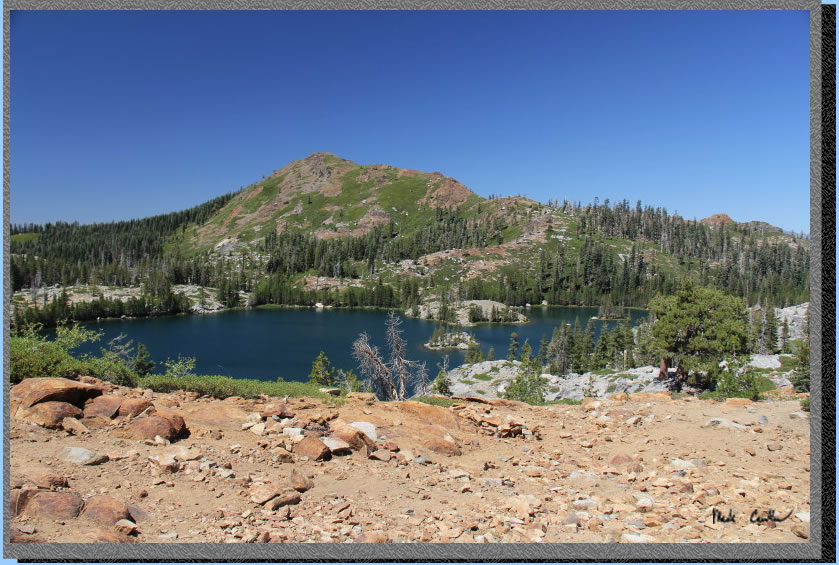
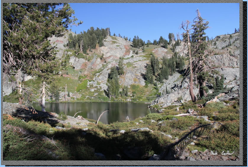
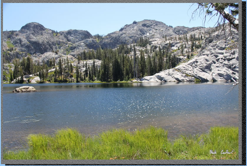
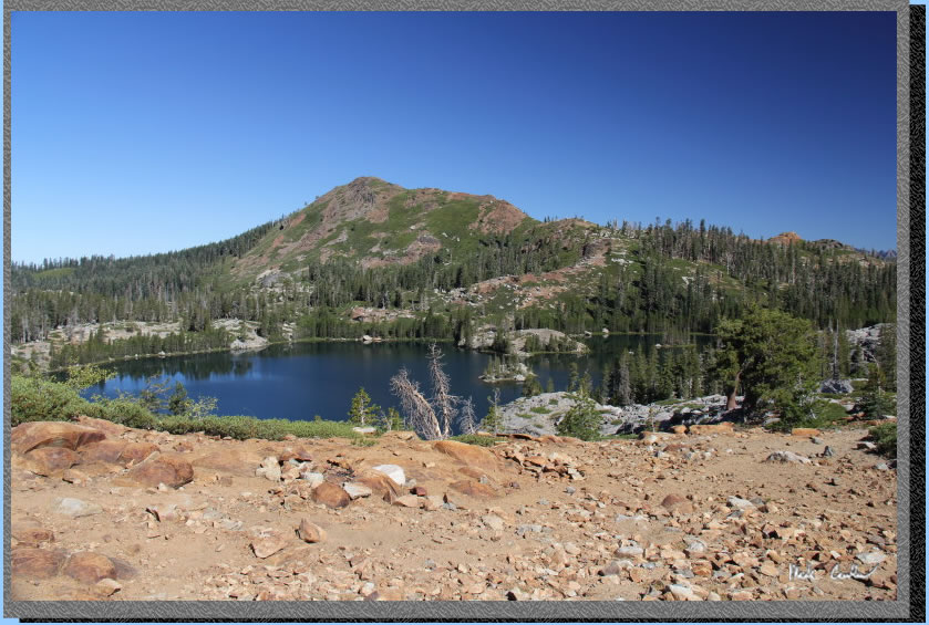
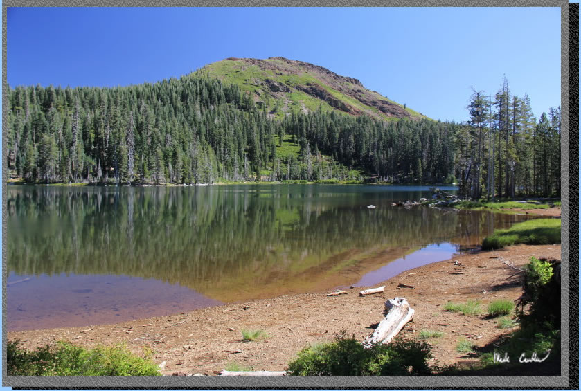
Here is my best shot of Glacier Lake (taken the afternoon of day two). Glacier Lake is not that big but has the Black Buttes as a backdrop so worth the hike in my opinion. We decided we would pack a lunch and do a day hike to the Five Lakes Basin using the Sand Ridge Trail.
The trail is well marked, to start, and you are headed downhill. Great views to the north as the image below shows.
We continued downhill until this faint junction with the unmarked trail to Five Lakes Basin. You will see ducks marking the paths people picked down the rocky terrain.
Here is Leo using mountain goat mode down the "trail".
There are many clues as to the most traveled route through here. Mostly duck/cairns and the occasional section of worn dirt trail.
We went to the first lake (shown below) and continued until the second. We saw a group camped at the second lake and decided to just go back to the first to enjoy the solitude around that lake for our lunch.
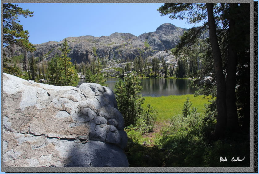
We had a nice lunch at the lake's edge and I dipped my feet and head in the water enough to fee refreshed. We saw a group from Glacier Lake headed down to explore these lakes on our way out. Here is the first lake with the breezy clear conditions that day.
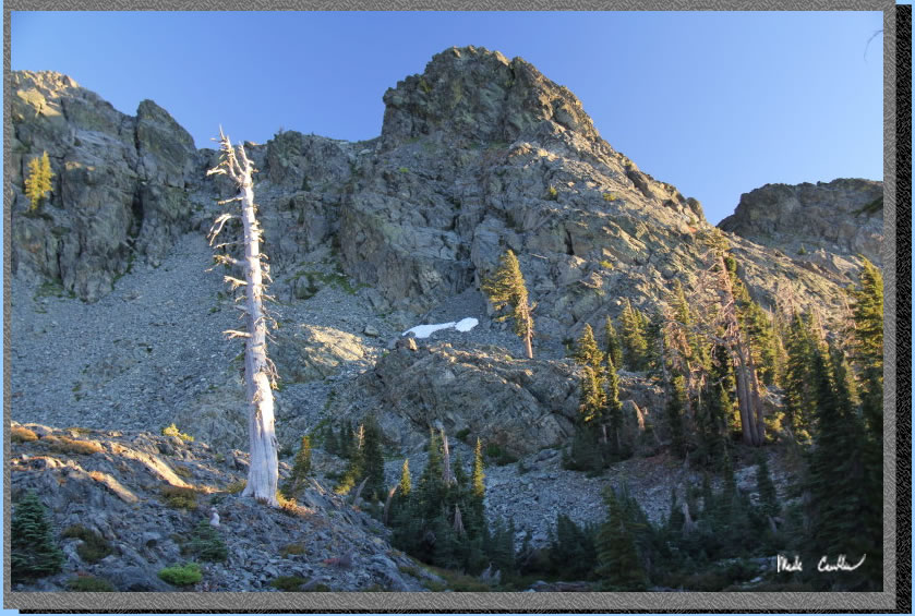
We took our time and headed back to Glacier Lake. There were some great views as the sun was setting. I took the opportunity to grab some magic hour shots around the lake. See the brave patch of snow in this shot.
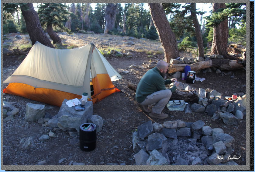
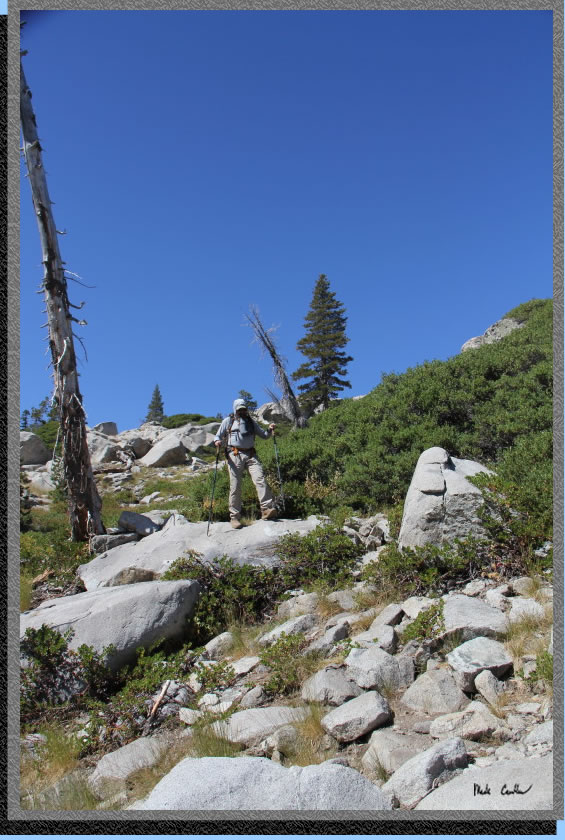
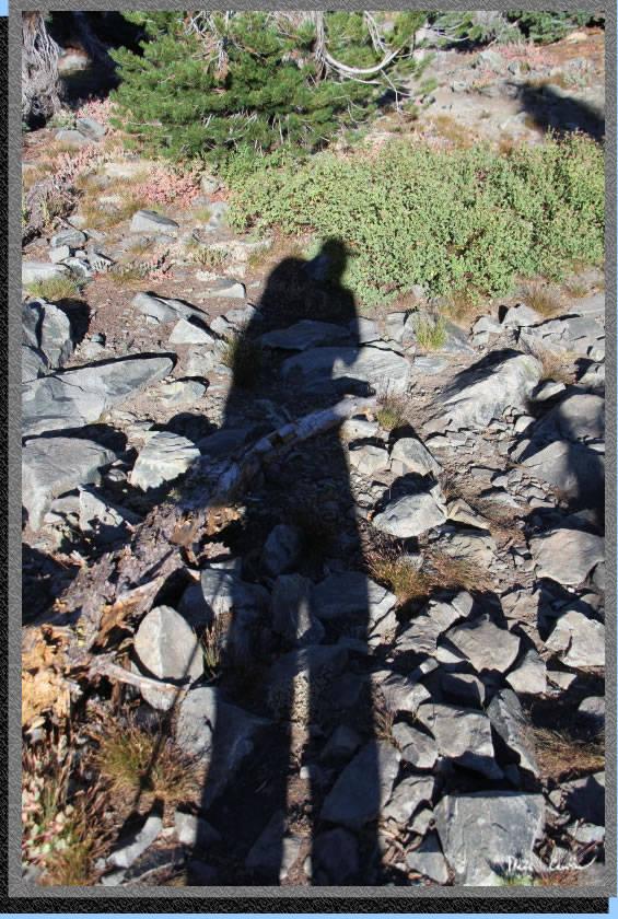
There was another great dark night. Weather was a little warmer that night as temperatures were trending up for the rest of the week. We had another great night of stargazing with a few satellites and shooting stars. We decided to make an early hike out (hit the trail by 8 AM). You could tell the weather was going to be warmer so we were glad to get an early start. We hiked out the same way we came in (so I won't bore you with a trail description in reverse). Instead, I will leave you with some shots taken on the mainly downhill trail on the way back to the car (yes, we did make it). Here I am!
Great views to north.
Sections of trail like this make you feel like you are truly on an adventure.
High above Island Lake.
Feeley Lake reflections.
Not all the flowers were dead. Oh, the ghost cattle. We heard cow bells on the way in to camp and on the way out (never on day two). I tried to spot one on the way out on day three but never could find one... definitely ghost cows. Make sure you treat your water. You don't want to turn into a ghost hiker if a ghost cow infects you.
Red line shows the trip from Carr Lake to Glacier Lake on days one and three (green line is the day hike we did on day two to Five Lakes Basin). Elevation profiles below map. Click on either a map or profile for a larger version.
.
(back to top)
Profile of day three hiking from Glacier Lake to Carr Lake Trailhead
(back
to top)
Profile of day two hiking from Glacier Lake to Five Lakes Basin (roundtrip) 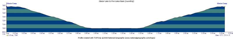
(back
to top)