![]()
 Leo,
Dan, Eric, Zakk, Jenn and I decided to do an overnight to the Marin
Headlands part of the Golden Gate National Recreation Area. This is
a really neat area with some historic batteries, a restored Nike missile
site and both Ocean and Bay Views. Reservations for Marin Headlands
campsites can be made 30 days in advance by calling 415-331-1540. Camping
permits are free but sites are limited to 4 people per site. There is
NO water at camp, or on the way to camp. You will have to carry your
own water with you. I think the fact that the campsites are "dry"
makes them less popular than they would be otherwise. Mileage varies
depending on which route you choose. The permit allows you to park at
any trailhead for your stay. Campsites have nice food storage lockers,
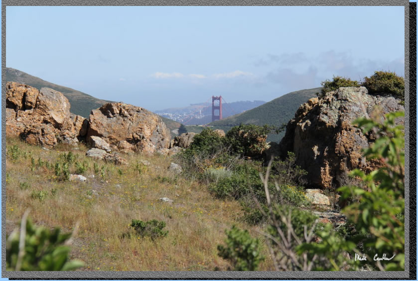
picnic tables and port-a-potties. With a short hike from camp you have
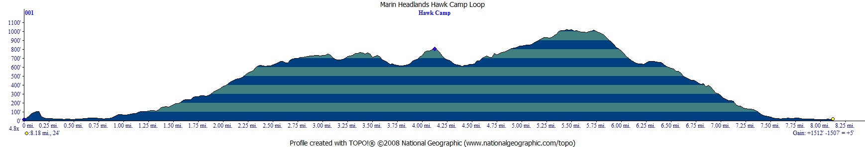
views like this! There are many route options with ours being a semi
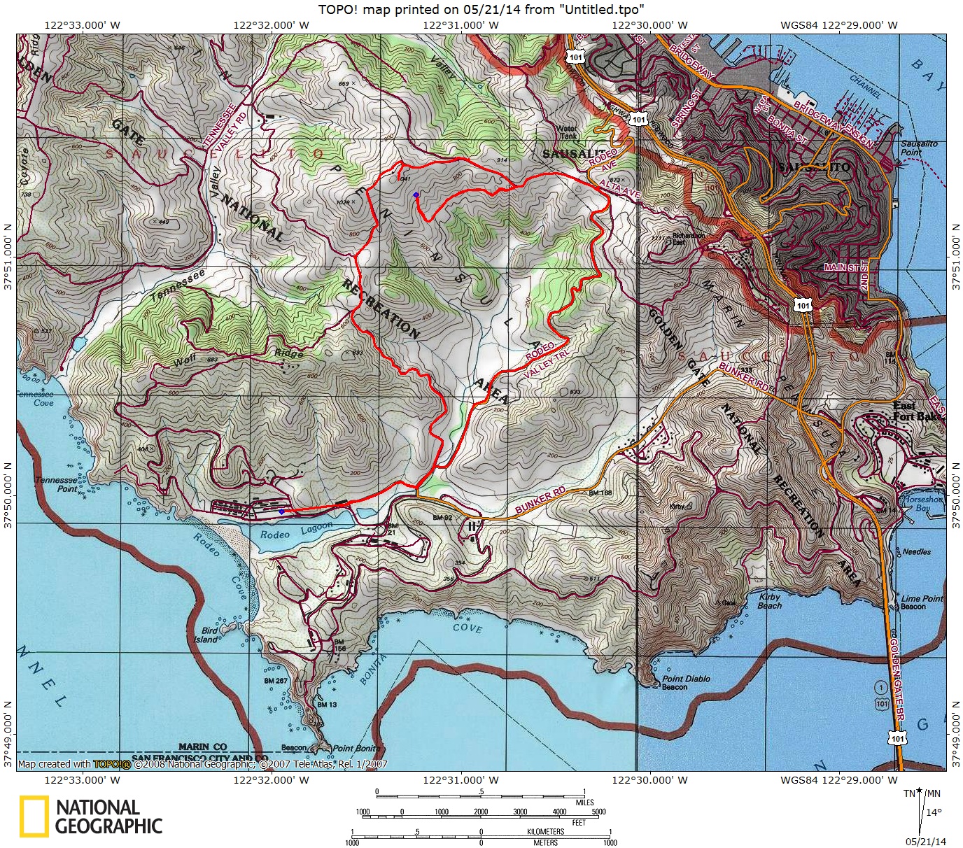
loop of about 8 miles. See
map/profile below.
Leo,
Dan, Eric, Zakk, Jenn and I decided to do an overnight to the Marin
Headlands part of the Golden Gate National Recreation Area. This is
a really neat area with some historic batteries, a restored Nike missile
site and both Ocean and Bay Views. Reservations for Marin Headlands
campsites can be made 30 days in advance by calling 415-331-1540. Camping
permits are free but sites are limited to 4 people per site. There is
NO water at camp, or on the way to camp. You will have to carry your
own water with you. I think the fact that the campsites are "dry"
makes them less popular than they would be otherwise. Mileage varies
depending on which route you choose. The permit allows you to park at
any trailhead for your stay. Campsites have nice food storage lockers,
picnic tables and port-a-potties. With a short hike from camp you have
views like this! There are many route options with ours being a semi
loop of about 8 miles. See
map/profile below.
We
checked in at the visitor center to get our permit, get a map and check
for any info we should know about current conditions. The visitor center
has some plants on display before you enter, one being Poison Oak. Be
sure to look at this plant and make sure to stay away from it on the
trails. There are some historical exhibits and things for sale in the
Visitor Center as well. Permits can be obtained after hours in a drop
box if needed (make sure to arrange that with the rangers ahead of time).
To reach the visitor center exit 101 at either Conzelman Road or Alexander
Avenue. Conzelman Road has the famous view of the Golden Gate bridge
but Bunker Road has a 1-way tunnel. Check them both out. We decided
on parking at the Miwok Trailhead off Bunker Road. See map/profile
below. The trail is almost all exposed, but you are by the beach, so
the cool breeze made our trip near perfect. We took the Miwok Trail
to Bobcat Trail to Hawk Camp, about 4 miles total in a gentle up direction.
The steepest part is from the port-o-potty to the campsites on the top
of the hill. Hawk Camp has 3 sites, each with a max of 4 people. The
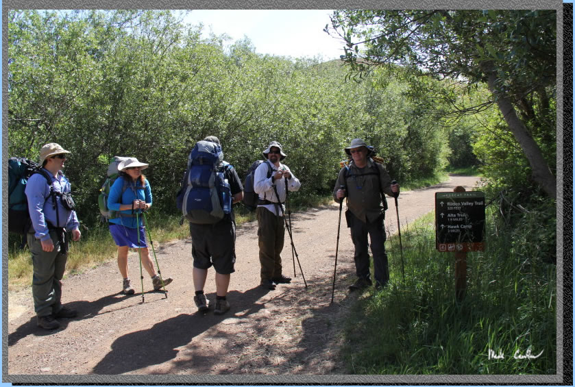
sites are grouped pretty close together under some pine trees for shade/hammock
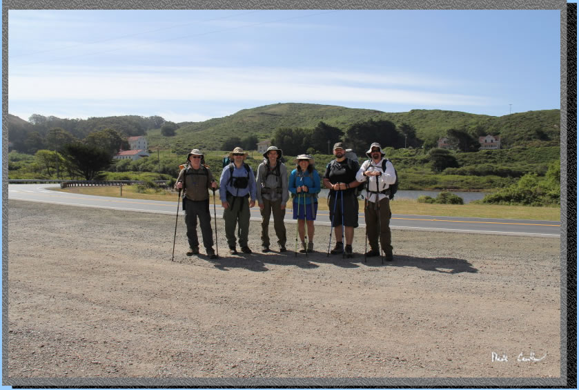
options. Here we are ready to leave the trailhead. We had 2 sites reserved.
We did a Sunday-Monday trip and while the trails were busy Sunday, they
were really quiet on Monday. The third site was reserved according to
the ranger but no one ever showed up.
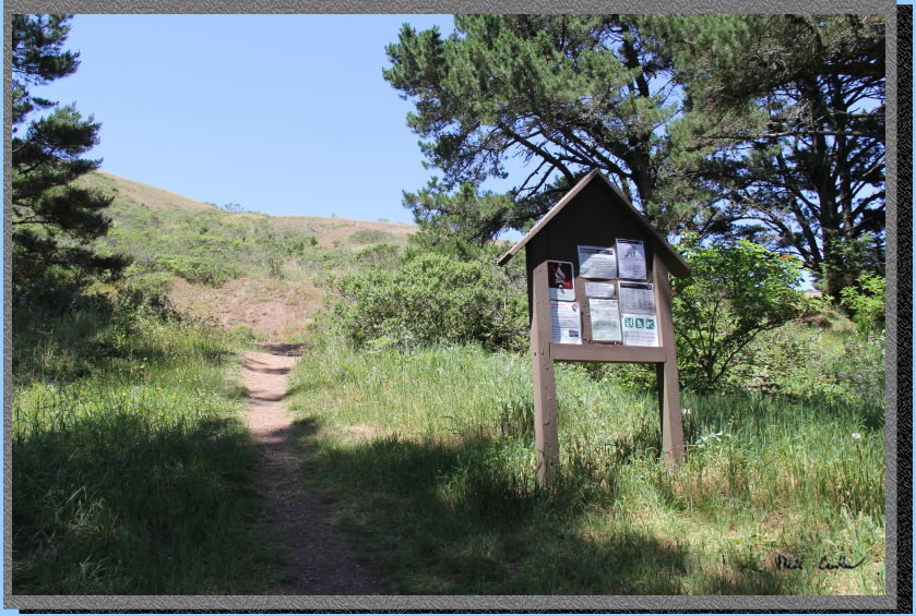
The trailhead
is at the edge of Rodeo Lagoon adjacent to some white buildings with
red roofs and some loading docks. The area near the loading docks are
marked no parking and there is no parking behind the buildings, we checked.
We got there decently early on Sunday morning and had no problem finding
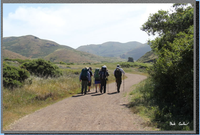
a parking spot. Here we are hiking on the Miwok Trail just pass the
trailhead. The first mile is a good warm up since it is flat, and you
will be carrying a heavy water laden pack.
At the
first junction be sure to take a right. Trails are well marked and standout.
Here we are at the junction to Bobcat Trail/Rodeo Valley Trail.
Stay left at the next junction
to stay on the Bobcat Trail, if you go right you are on the Rodeo Valley
Trail. The trail starts to climb now. The trail goes through a group
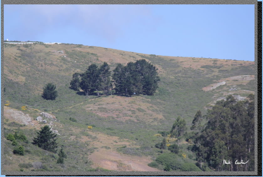
of Eucalyptus trees through here. Here is a shot zoomed into our destination.
The group of trees with the faint blue tent is Hawk Camp. The white
picket fence above left is a FAA facility (we learned that on the way
out).
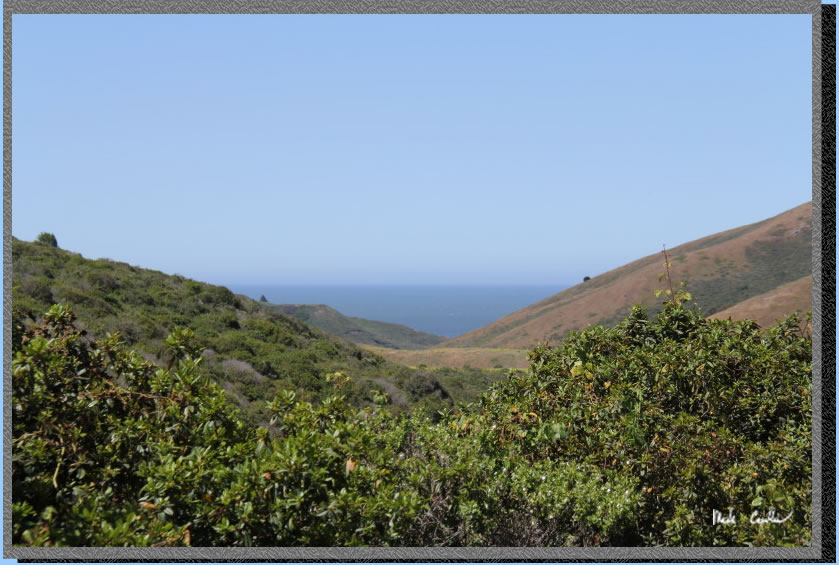
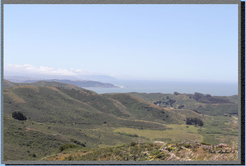
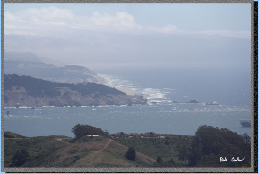
After climbing a bit you
get your first water view. This is the Pacific Ocean. It was windy on
this trip so there are whitecaps out there. You will have to take my
word for it as you can't really tell in the picture here.
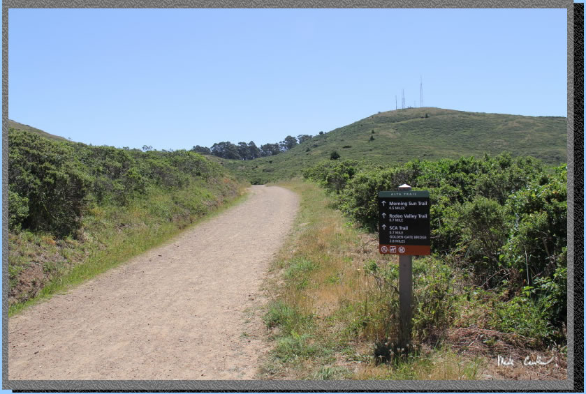
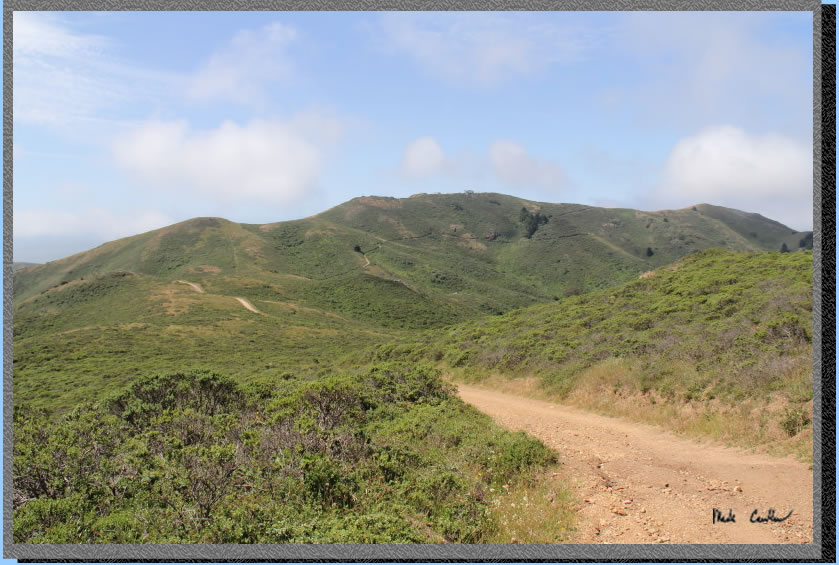
Continue up the wide fire
road style trail, watch for bikes as they like to use this trail as
well. The bicyclists we saw all seemed to be driving safely, and we
tried to stay out of the way so they could keep their momentum. This
is a shot of the Alta trail if you took a right at the next junction.
I was up here on a nature call, make sure you take a left and stay on
the Bobcat Trail.
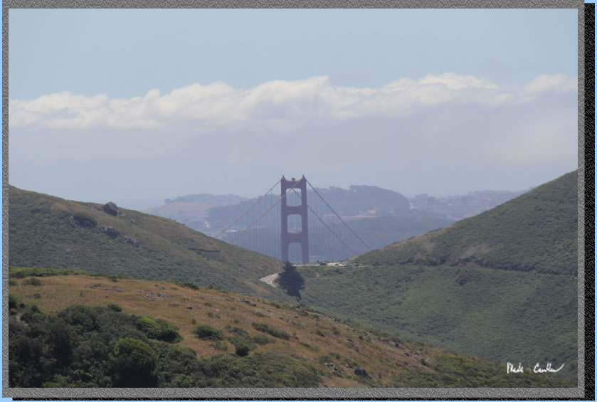
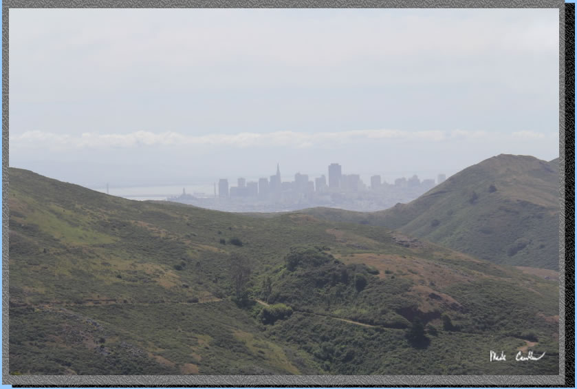
Make sure to look around
on this trail as the views only get better. Here is the Golden Gate
with San Francisco behind.
Continue along the trail,
looking back at views of the Pacific Ocean and parts of San Francisco
now.
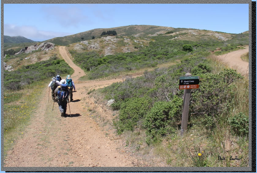
Before long you will have
to take a left onto the trail to Hawk Camp. Notice the good signage.
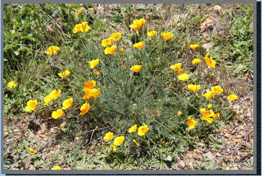
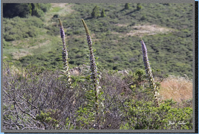
There were a decent amount
of wildflowers considering the dismal amount of rain we had this year.
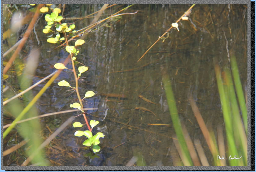
There is a pond (must be
a spring near Hawk Camp based on vegetation and runoff on the side of
trail) on the way to Hawk that had some newts in it.
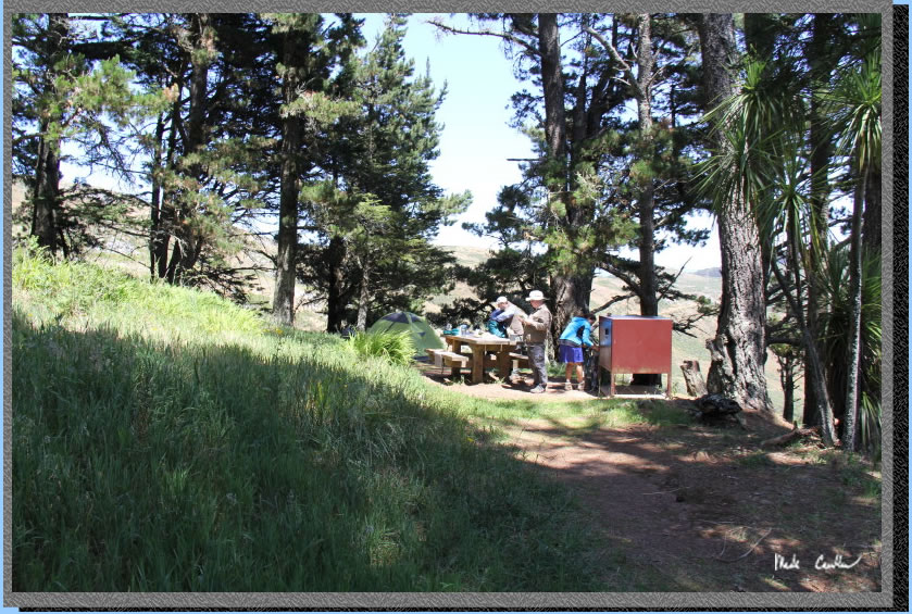
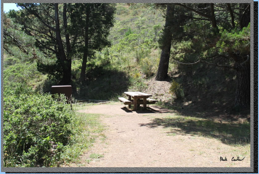
So we picked the two sites
on the right as you come up the trail. As I mentioned earlier the port-o-potty
is down the hill from camp. The tables were all in good shape and the
area clean. The bear storage lockers are huge and great. You can put
your whole pack in these things. This shot is of the first site as you
come up the hill.
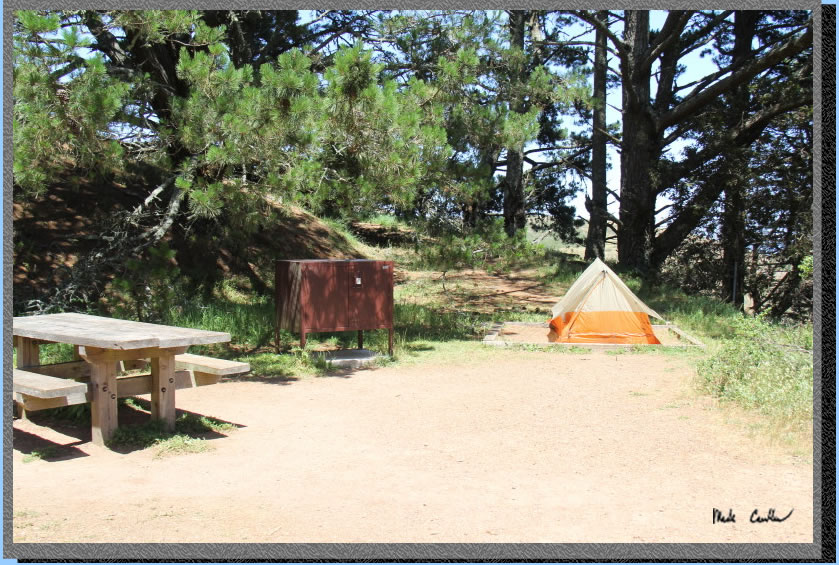
The other two sites are past
this sign, one site on the left and the other on the right. Each site
has a spot for a tent that is framed with wood. There are no fires permitted
out here, only backpacking stoves are allowed. The warnings include
raccoons and bobcats and coyotes.
Here is the view from the
sites down to the port-o-potty. It is steep especially in low light
or with tired legs. 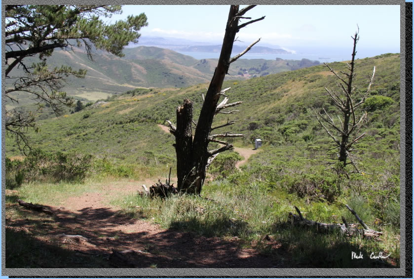
The view from camp is hard
to beat!
This is the site on the left
side. It ended up being the one we hung out at that night as it was
the most sheltered from the wind. It also has some berries growing near
it and some rabbits living nearby.
Here is the upper site on
the right and my ultra light tent. You can see the area marked off for
a tent. The ground is HARD up here.
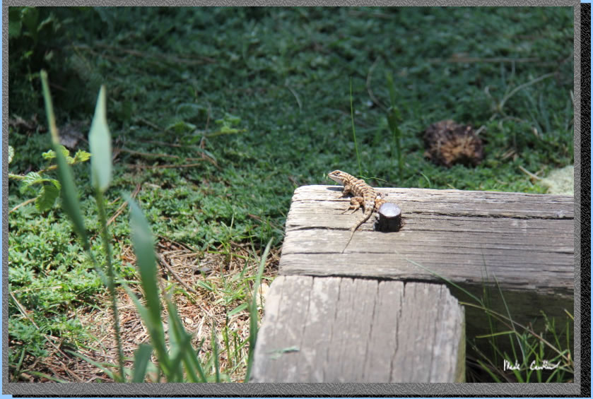
I grabbed this shot of a
lizard watching me at camp before he decided I must want to eat him
and he took off.
Leo and Dan decided to camp
hammock style this trip. This is Leo before he goes into "cocoon
mode".
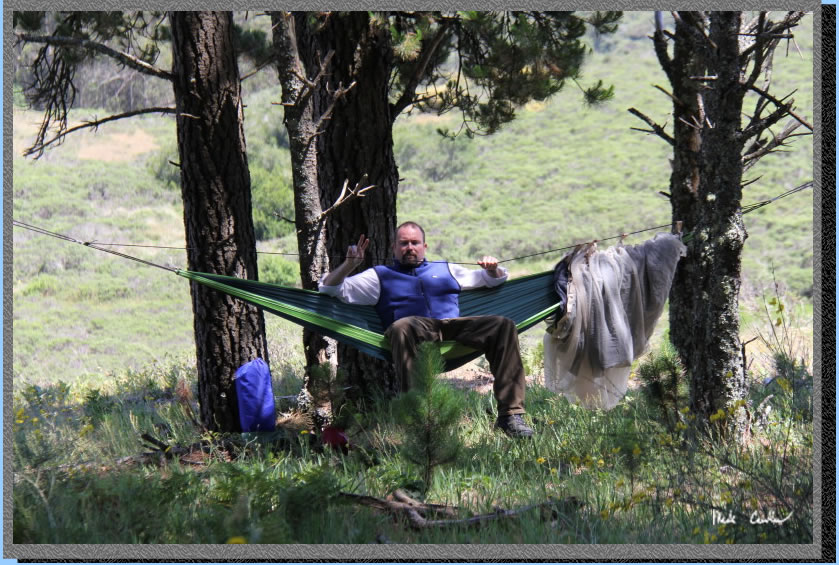
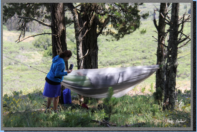
Here is Leo in "cocoon
mode" with Jenn making sure he is able to breath. There is also
a tarp that goes over the setup as well for wind/weather protection.
Dan has a similar setup on his.
We did a little day hike
on the Alta Trail and a portion of the SCA trail before heading back
to camp for dinner. Here is a shot on the way out to the Alta Trail.
.
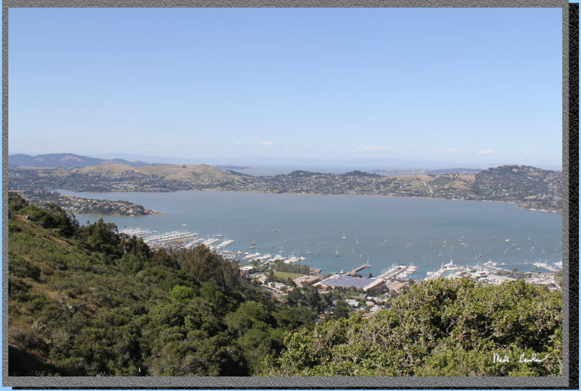
You are able to peek into
Sausilito and the Bay in spots along the Alta Trail.
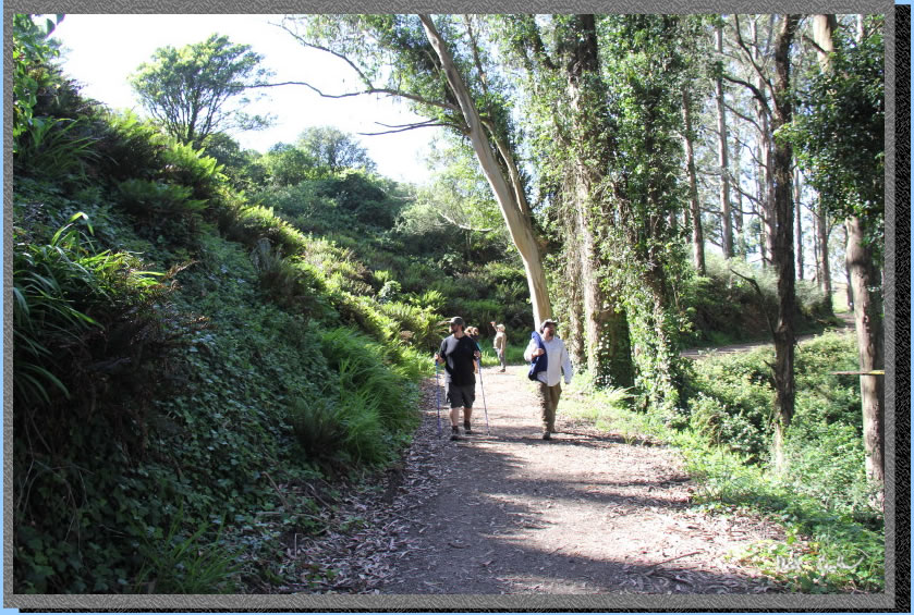
There is a grove of Eucalyptus
trees along the trail before the junction to the SCA Trail. The ivy
through here grows way up the trunks of the trees.
Here is a shot of some wind
swept plants on the SCA trail.
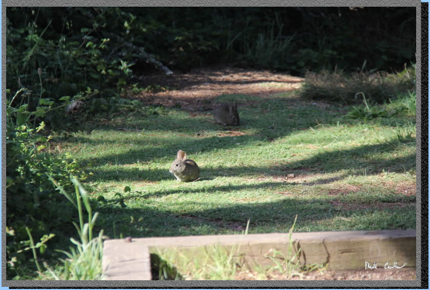
We had a nice evening watching
the glow of the City in the distance. We heard coyotes in the distance
and even saw a rabbit that night. Some of us heard a coyote walking/huffing
through camp that night and a loud owl in the pine trees above camp.
Neither one got our rabbit friend though and in the morning there were
actually 2 now... rabbits!
We headed back using the
Bobcat Trail to Miwok Trail back to trailhead. Here is a shot looking
back at the San Francisco skyline with a portion of the Bay Bridge.
Trail junctions were well
marked on the way back. The only tricky part is the FAA facility, but
if you go check it out there is a trail that circles it and comes back
to the trail. I think you could actually use a road that branches off
the circular trail to go more directly to Miwok Trail. Not sure though
as we stayed on the marked trails. There are plenty of options to add
more mileage to this trip (Tennessee Valley, Wolf Ridge Trail to Coastal
Trail). We were a little pressed for time so did the quick 4 miles on
the way out. I am sure that we will be back to checkout some of the
other camps and trails soon. See
map/profile below.
This shot shows the Miwok Trail going left and the Wolf Ridge Trail
snaking its way up the ridge to the right. This was another great trip
and even though we had heavy water laden packs the first day the views
made it worth it.
Map and profile from Miwok
trailhead (at Rodeo Lagoon) to Hawk camp and back (semi-loop) is shown
below (travel is counter clockwise) .
Click either for a larger version.
.
(back to top)