


![]()
 Permit
- Only a fire permit is required. You can get one online here . For questions about current conditions
call the ranger at 209-259-3774.
Permit
- Only a fire permit is required. You can get one online here . For questions about current conditions
call the ranger at 209-259-3774.
Mileage - The hike in was ~3.75 miles (advertised as 3.8, so spot on). See map/profile below.
Camps/Water/Bathrooms Facilities - You are in the wilderness (national forest) so there are no facilities. There are also no facilities at the trailhead. Nearest bathroom looked like the day use area at Silver Lake. There is no cell coverage at the trailhead.
Hazards - Narrow road to trailhead, rattlesnakes, bears, giant mountain ants.
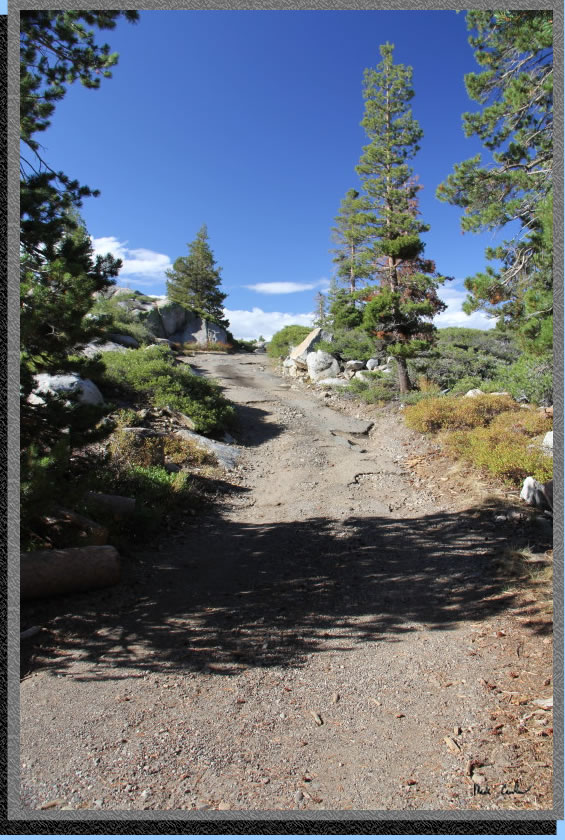
Dan and I went on this early fall trip to El Dorado National Forest. No permit is required except for a fire permit. Current fire restrictions for El Dorado National Forest did not allow for a campfire. However, you still need a permit to be allowed to use your camp stove. To get to the trailhead from eastbound Highway 88 take a right at signs for Kit Carson Lodge. Follow the signs to Granite Lake Trailhead past all the cabins along the east shore of the lake. Bear left at the first "Y", and right at the second "Y". The road is narrow so probably not fun when this road is busiest. We were midweek and it worked out well for us. The trailhead is on the left as you drive in. There is short uphill section right before you get to the lot at the end of the road. You can park and then walk back down the road to the trailhead. See the map
and profile below. The grades on this trip are easy, with a net of 428 feet gained. Profile shows the way in to Hidden Lake. Here is the image showing the last uphill stretch of road to get to the small trailhead parking lot. The rest of the road was in much better shape.
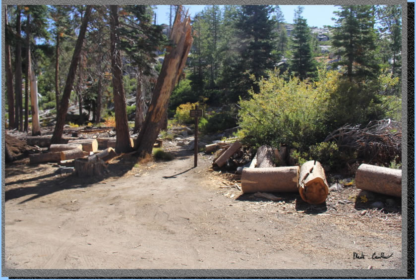
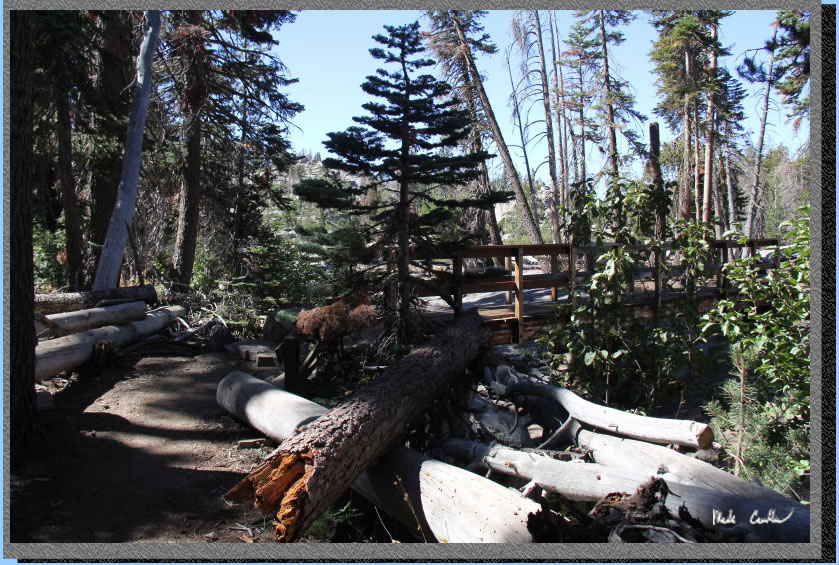
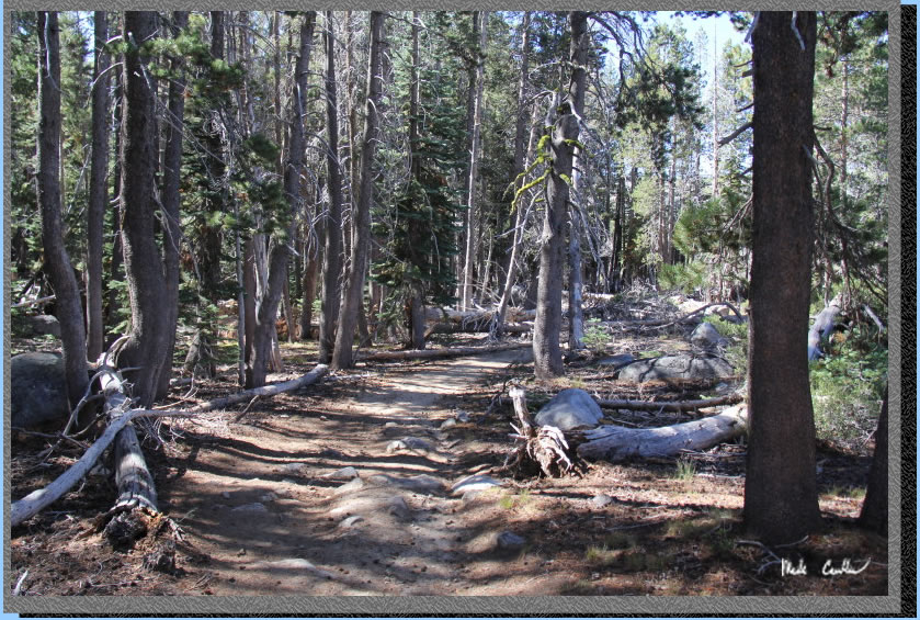
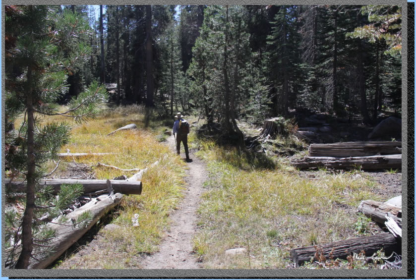
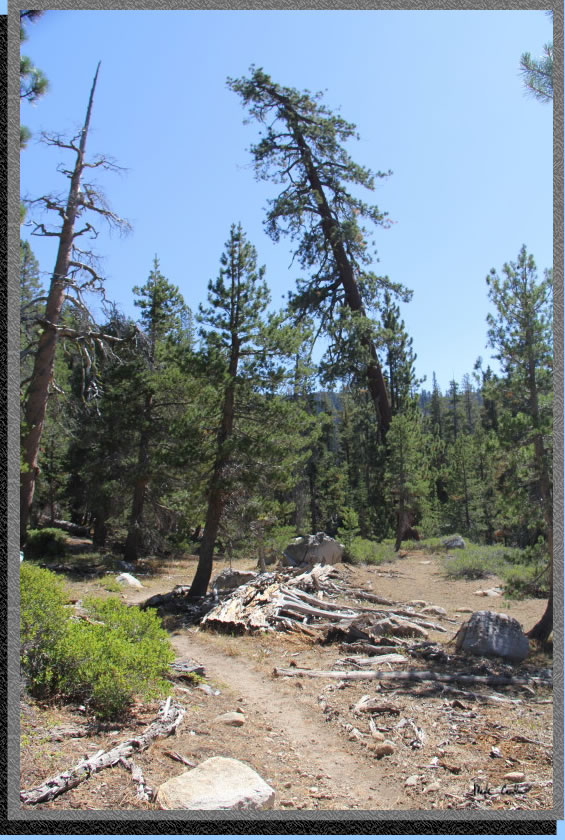
We quickly parked and got ready to hit the trail for our two day adventure. Weather was forecast to be warm with a breeze. The elevation and mainly covered trail made the hike in quite pleasant. The trail starts out just past this sign on the Minkalo Trail. Apparently there was a Boy Scout Camp out here at one time (no longer). They have done a good job keeping the dead trees off the trail. You can see the logs as proof of all the work out here in the image below.
The trail starts out going what feels like the wrong direction. Never the best way to start a trip. The trail eventually swings around to point you back to the direction you think you should be headed. The trail is rocky to start.
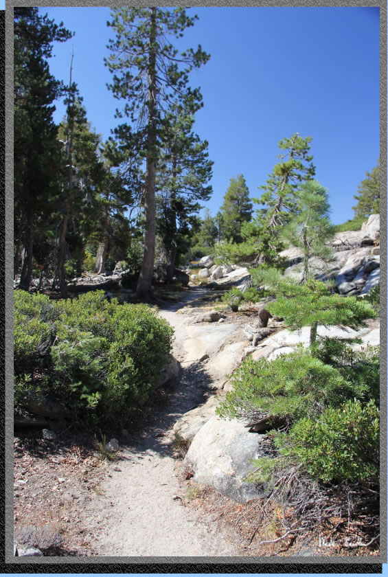
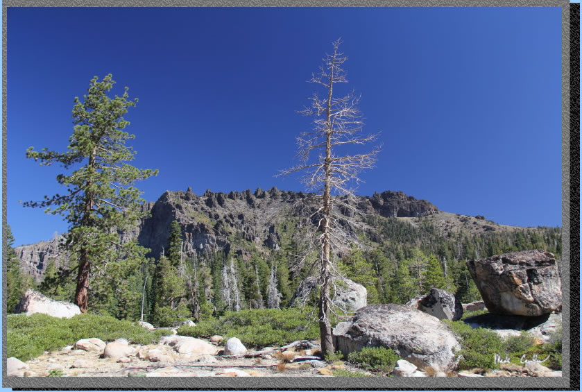
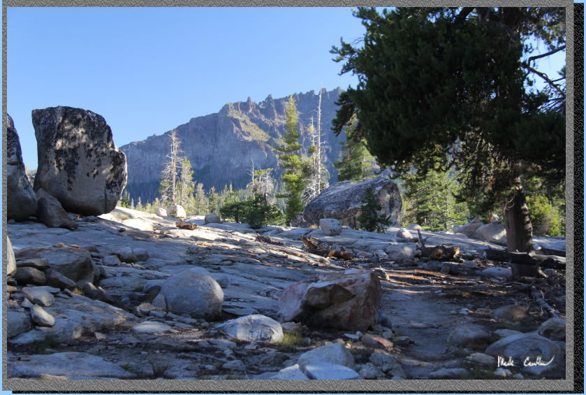
In addition to rocky, this first section in mainly open as the image below shows. Makes for some good views.
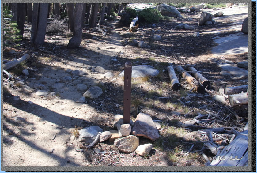
Continue past this sign post missing its sign. We were hopeful it didn't have an important message related to our future safety.
Trail continues over this bridge. We were out here in dry fall conditions so the bridge seems really unnecessary. I am sure early in the summer it is needed though.
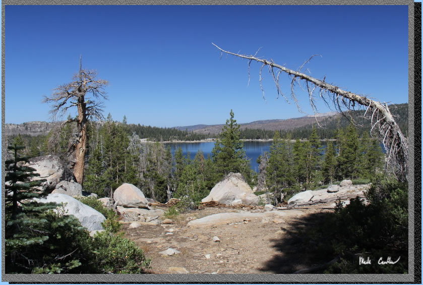
You continue up to views of Silver Lake. You can see that Silver Lake is a little low as well. I haven't been up to this area in quite a while, so I am not sure if this is normal or not for this time of year.
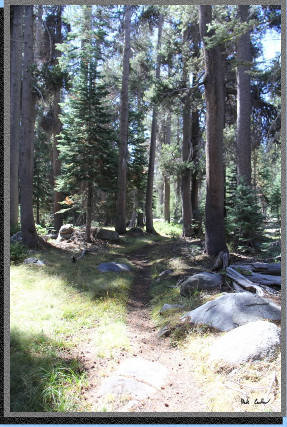
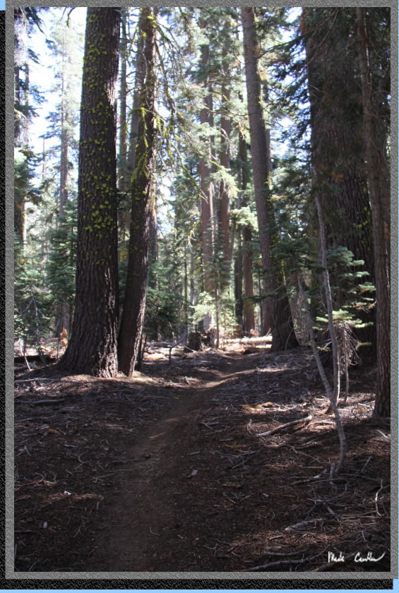
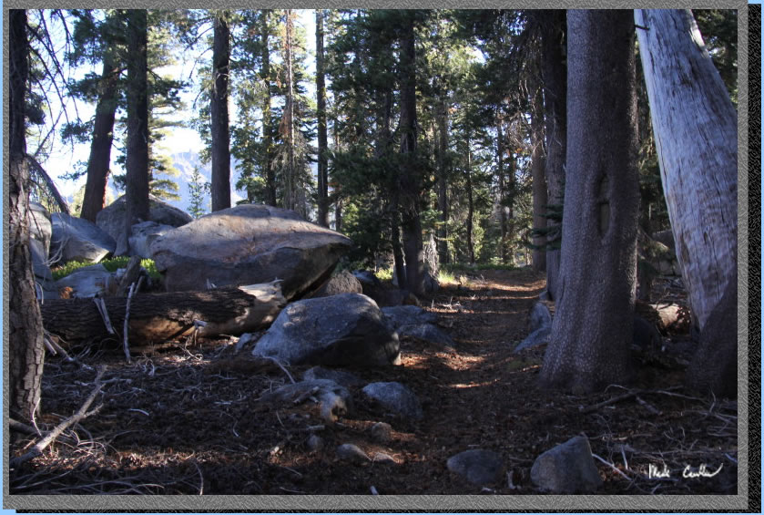
Trail continues down and is mostly covered.
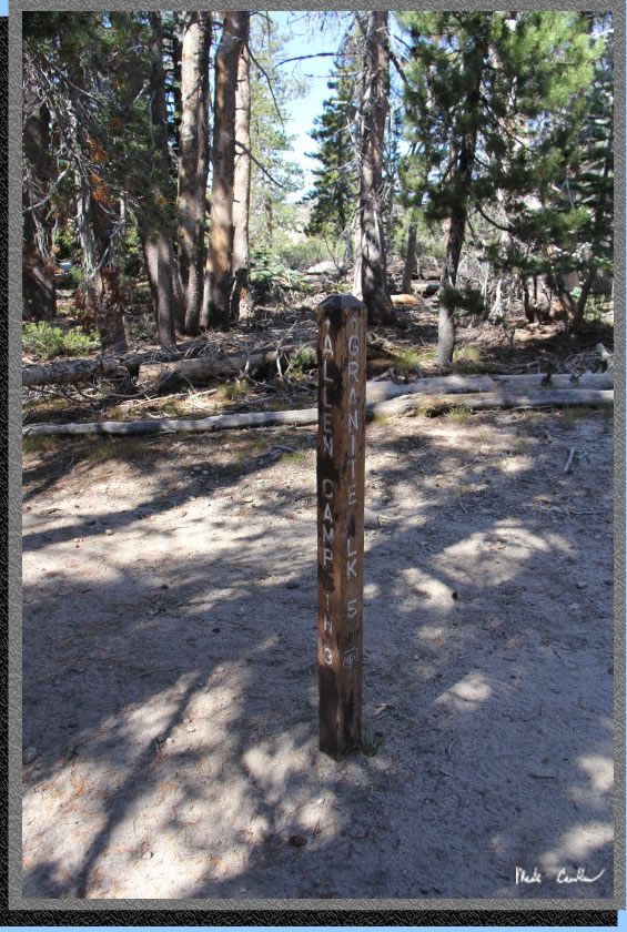
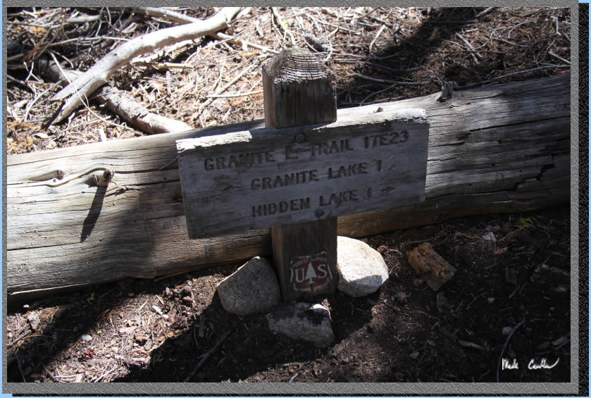
You quickly arrive at the junction to Allen Camp Trailhead. Follow sign to Granite Lake on the Granite Lake Trail now. You will stay on this trail the rest of the way to Hidden Lake. Trail is marked well and only tricky spots on granite have plenty of clues to get you going the correct direction.
The trail zigzags around the unnamed lake adjacent to Granite Lake (shown below).
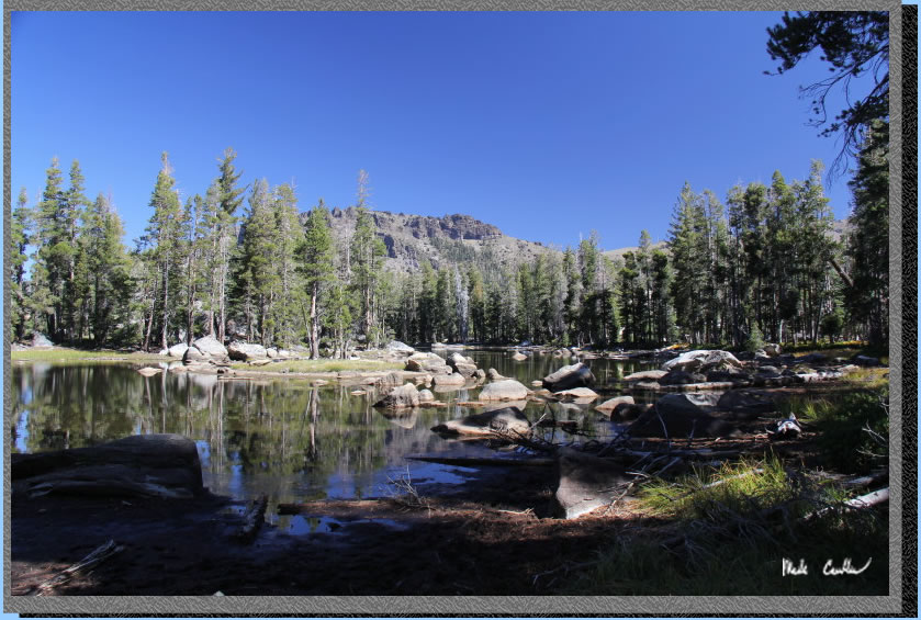
Trail is exposed around Granite Lake. We decided to stop for a quick food break at the edge of Granite Lake and enjoy the views.
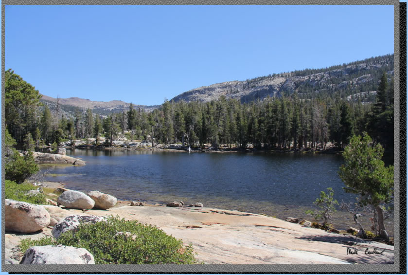
We put the packs back on and continued on the Granite Lake trail along the shore of Granite Lake. Eventually you leave Granite Lake and the trail becomes more covered again. Here is the last shot of Granite Lake.
The trail is almost level and dirt now. We made good time through this section.
Another shot of this predominately well covered section.
We quickly arrived at this low sign telling us we only had a mile left to Hidden Lake.
The next section of trail is a gentle uphill and the forest thins out a bit. You can see this tree that decided to lean a bit over the trail.
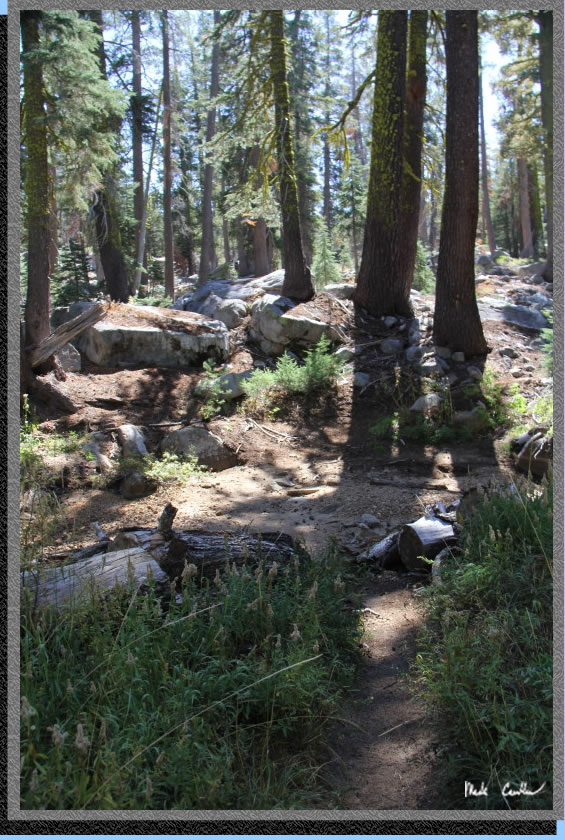
The forest thickens again before you reach the stream crossing.
Here is the stream crossing right before Hidden Lake. You can see we were able to keep our feet nice a dry (no water). After you make it to the other side the trail gets a little rockier and you head uphill on the last short stretch to Hidden Lake.
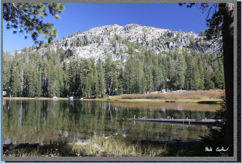
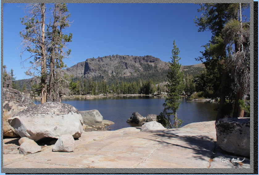
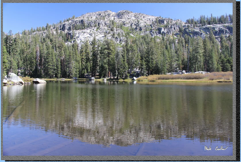
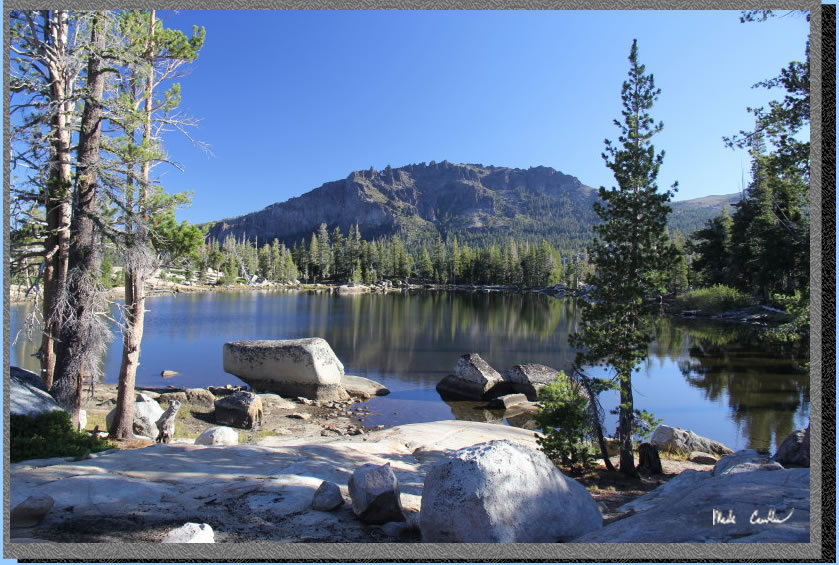
Here is Hidden Lake. We decided to head south and found a site that sat a little above the lake. Dan later explored more around the lake and found a site to the north that was more covered and slightly better than our site. We had already setup so we were not moving. Hidden Lake is a little shallow. We both thought that Granite Lake would be a better swimming lake.
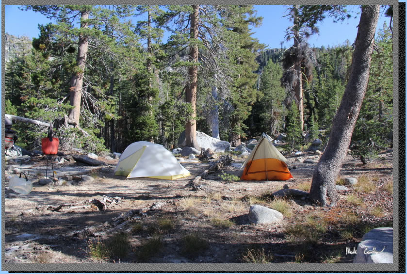
We had a nice evening with no moon and slight breeze. With the clear, dark skies we were able to lay down on the granite slabs around our camp and count he satellites and see the occasional shooting star. Here is a shot of camp before it got dark. Overall this was a great short trip which would be great to introduce people to backpacking. I will leave you with some shots that didn't fit into the trail description.
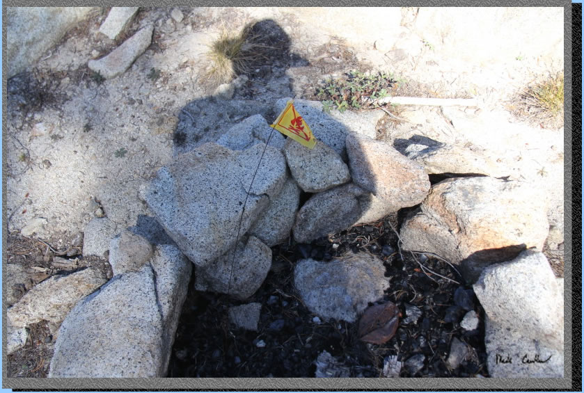
Rangers had put flags in all the fire pits we saw to remind campers no fires were allowed.
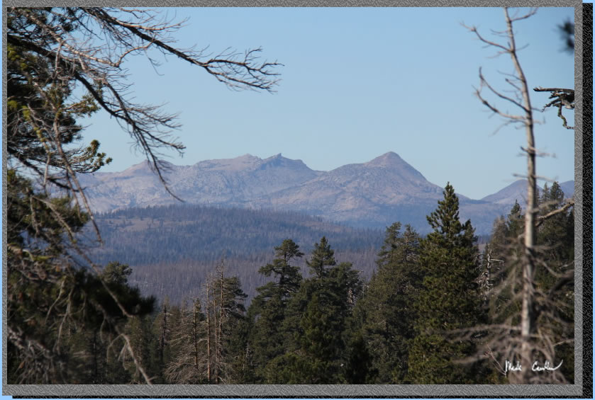
Mountain views looking toward Desolation Wilderness.
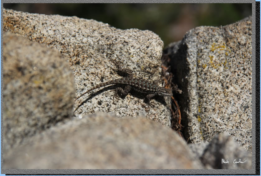
Lizard around camp.
Time to pack up and head back home. Weather was headed our way, so we decided to try to make it out before the rain started.
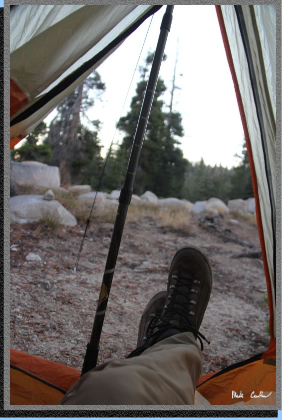
Hidden Lake before the sun was up all the way.
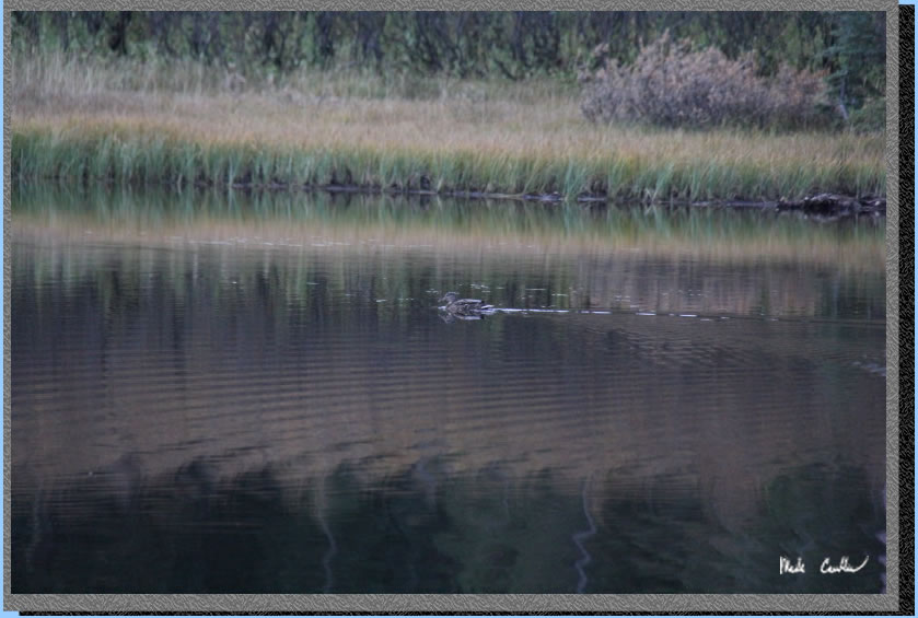
The brave duck (his friends were much faster when they saw us).
Nice cool conditions for our morning hike out. Helped by the long shadows.
Rocky trail.
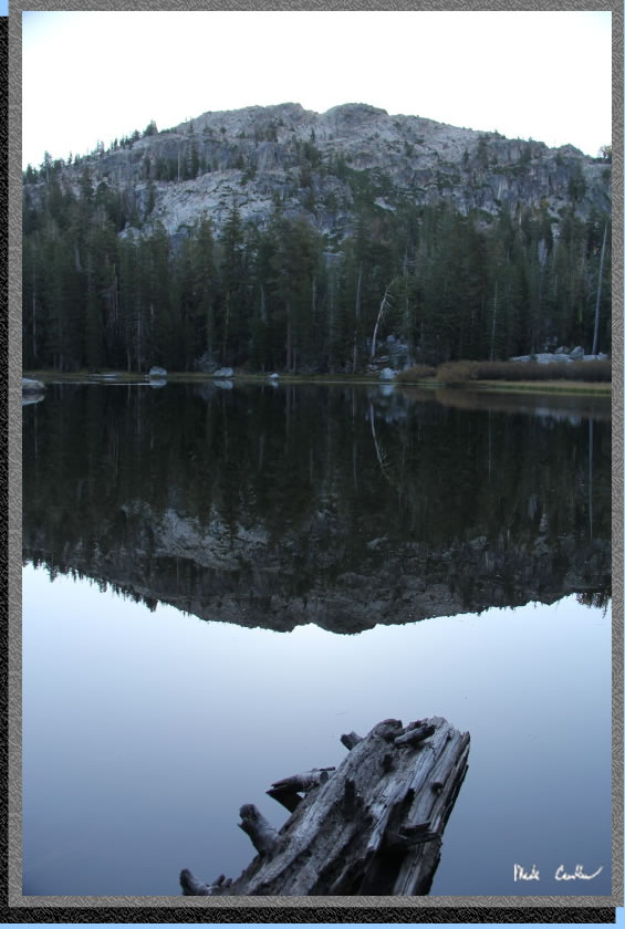
Glass like Granite Lake, as calm as it gets.
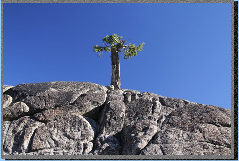
An alive tree.
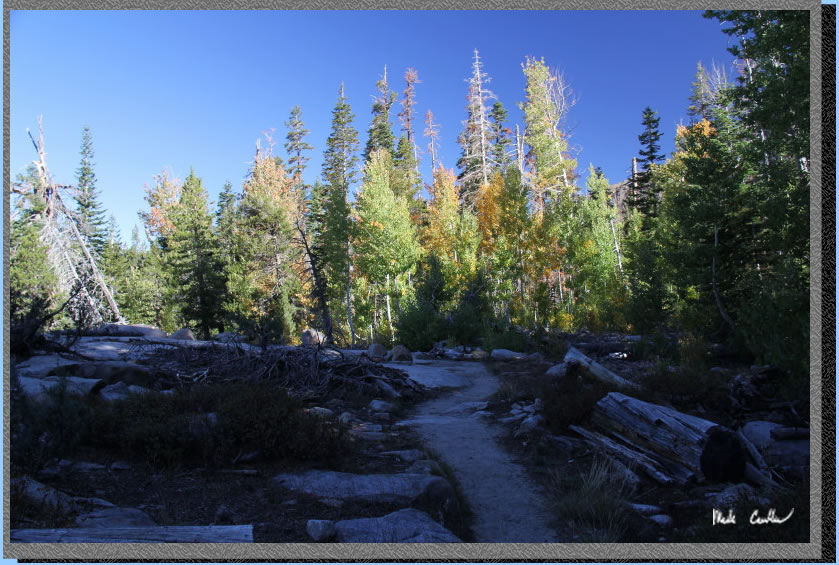
Fall colors.
Red line shows the trip from shows Granite Lake Trailhead to Hidden Lake campsite.. Elevation profile below map.
.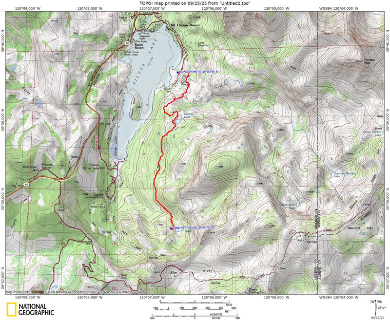
(back to top)
Elevation profile shows Granite Lake Trailhead to Hidden Lake campsite.
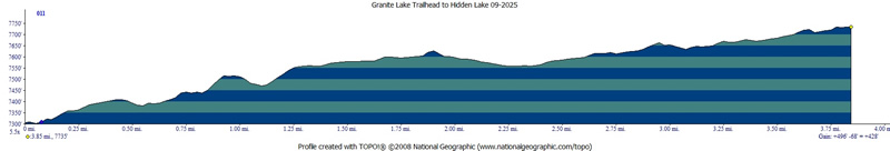
(back
to top)