![]()
Tyler and I
decided to do a trip to an old favorite of mine. It has been 10 years
since I have traveled this trail, and it turns out even in a drought
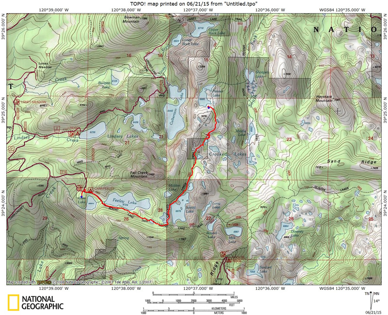
year the area is great. The trail to Penner Lake is a little over 3
miles with only a couple short uphill sections, map/profile
below. Trail finding is relatively easy (there are a few sections where
you cross rocky sections where you need to pay attention). Plenty of
lakes to choose from, and many options to make this trip longer, or
even a loop. Your adventure starts with the drive to the trailhead.
If you are traveling north on 80 take the highway 20 exit and travel
west. After traveling for about 4 miles 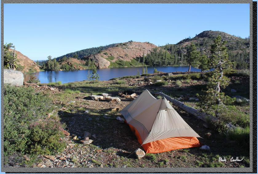 take a right turn on Bowman road. Drive on until you see a sign for
Carr Lake at about 8.5 miles and take a right. Be prepared to travel
slow over the rough to very rough dirt/rock one-lane roadway to the
Carr Lake trailhead (about 2.5 miles). I would choose a vehicle with
decent ground clearance (no 4-wheel drive needed if roadway is dry).
I saw one volvo sedan in parking lot, and I did make it to this lake
in a Ford Escort once (I was younger, and much more brave back then).
There is a campground with 10+ sites at Carr Lake, so be prepared for
a crowd on the weekends. The roadway is very narrow in spots, so be
prepared for other vehicles traveling the opposite direction. Tyler
and I were lucky enough to do a Thursday-Friday trip, no crowds. There
were quite a few people headed in when we were headed out that Friday
afternoon though. Once you make it to the trailhead you can quickly
head past Carr Lake and onto the trail to one of the many lakes in the
area. This section of Tahoe National Forest allows for camping near
any of the nearby lakes. You do not need a permit to camp, but need
to get a California
Campfire Permit to use a stove or have a fire. Check with the ranger
for current fire restrictions, (530) 265-4531. There isn't much decent
fuel around Penner Lake, so even if you are camping when there are no
fire restictions you may still not be having a fire. Here is a picture
of my tent, Big Agnes Scout UL2, at Penner Lake. The soil is very rocky
out here so ultralight tents should be setup with care (I use a heavier
ground sheet under these types of conditions). Rocks and sharp plants
do not mix well with ultralight groundsheets/tents.
take a right turn on Bowman road. Drive on until you see a sign for
Carr Lake at about 8.5 miles and take a right. Be prepared to travel
slow over the rough to very rough dirt/rock one-lane roadway to the
Carr Lake trailhead (about 2.5 miles). I would choose a vehicle with
decent ground clearance (no 4-wheel drive needed if roadway is dry).
I saw one volvo sedan in parking lot, and I did make it to this lake
in a Ford Escort once (I was younger, and much more brave back then).
There is a campground with 10+ sites at Carr Lake, so be prepared for
a crowd on the weekends. The roadway is very narrow in spots, so be
prepared for other vehicles traveling the opposite direction. Tyler
and I were lucky enough to do a Thursday-Friday trip, no crowds. There
were quite a few people headed in when we were headed out that Friday
afternoon though. Once you make it to the trailhead you can quickly
head past Carr Lake and onto the trail to one of the many lakes in the
area. This section of Tahoe National Forest allows for camping near
any of the nearby lakes. You do not need a permit to camp, but need
to get a California
Campfire Permit to use a stove or have a fire. Check with the ranger
for current fire restrictions, (530) 265-4531. There isn't much decent
fuel around Penner Lake, so even if you are camping when there are no
fire restictions you may still not be having a fire. Here is a picture
of my tent, Big Agnes Scout UL2, at Penner Lake. The soil is very rocky
out here so ultralight tents should be setup with care (I use a heavier
ground sheet under these types of conditions). Rocks and sharp plants
do not mix well with ultralight groundsheets/tents.
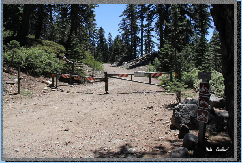
The trailhead is on the
left as you head to the parking area. There is an iron ranger if you
are choosing to camp at Carr Lake. There are no facilities/water at
trailhead. There is a pit toilet on the far side of Carr Lake. There
are many lakes in the area, so if you bring a water filter (or some
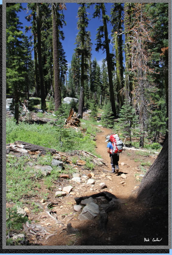
other purification method) you will be set. Here is a shot of the start
of the trail. The trail (more of a fire road at first) is called Round
Lake Trail.
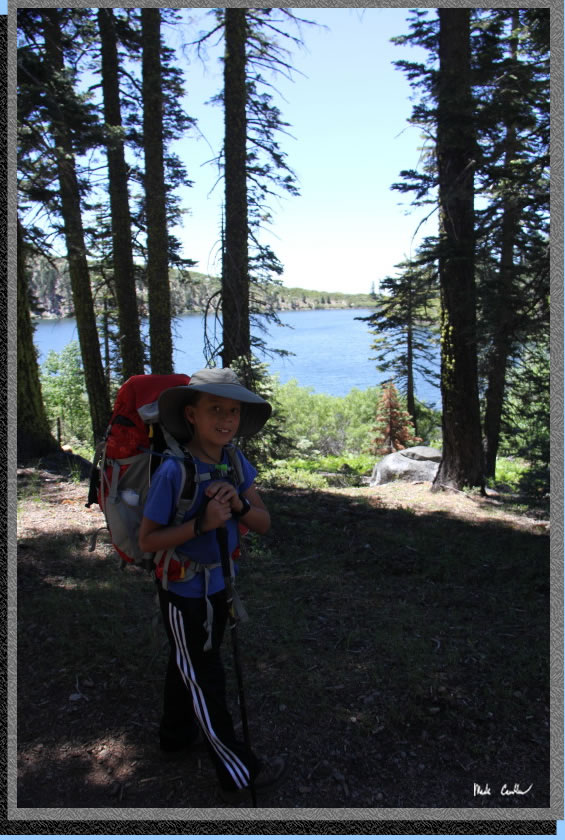
You quickly come to Carr
Lake, like immediately. Here is Tyler checking out the lake. There are
some decent looking sites. When we went in on Thursday I did not see
anyone camped here. When we headed out Friday there were a couple sites
occupied. There are no reservations for these sites, you just have to
be lucky. Each site appeared to have a picnic table and firepit.
You hike alongside Carr Lake
and over the outlet from Feeley Lake (that fills Carr Lake).
There is a big rock and earth dam that controls the water level of Feeley
Lake. I have not seen this lake this low on past trips. The other lakes
in the area were full, I also chatted with a group that was deeper in
the forest and they said all the lakes they encountered were at capacity.
This lake is managed by PG&E, so maybe they are already letting
water out of it for some reason? This is the shot of Feeley Lake. The
weather was just about perfect (low 70's, with a breeze).
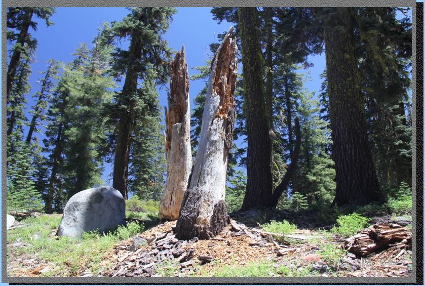
You hike alongside Feeley Lake for a while and then up a gentle slope
to an un-named lake, well not always un-named. Here are some cool looking
stumps along the trail.
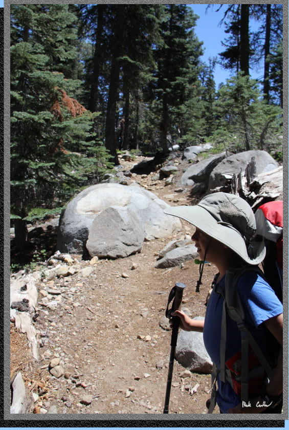
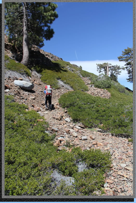
If you look past Tyler you can see the trail conditions through this
section. There are lots of variation in trail conditions on this trip.
Most of the trail has some cover.
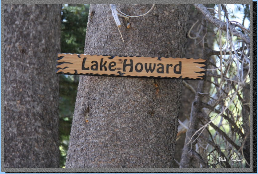
Here is the un-named lake on the south side of the trail before the
trail junction with Crooked Lakes Trail. I have seen this lake called
a couple of different names. Yes, people have taken the time to make
signs to name this "lake".
Personally, l would want to pick a better looking lake to name, but
who am I to judge. This sign has to be 15 feet up the tree.
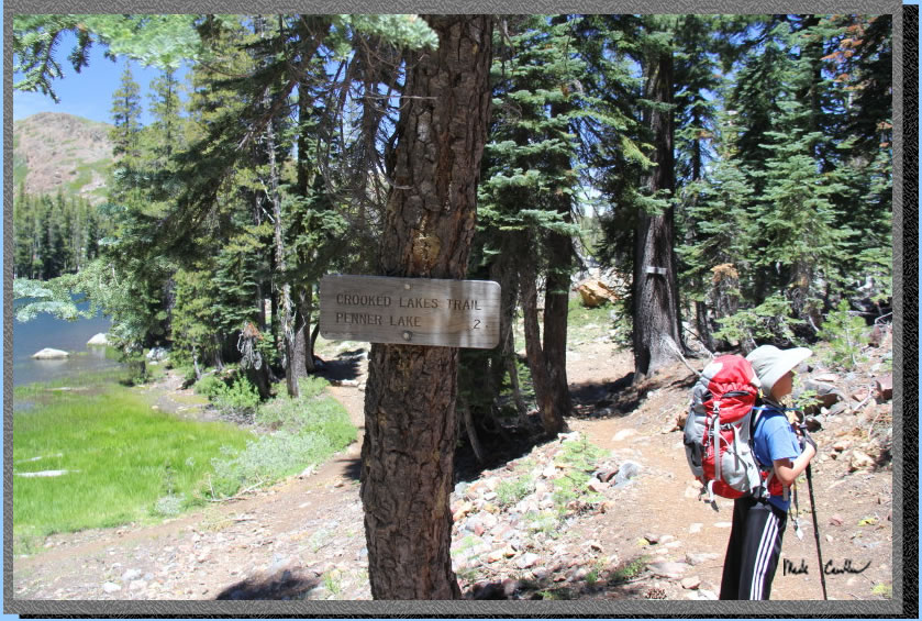
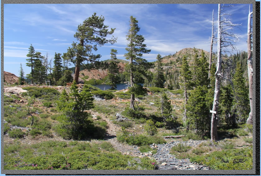
Before you know it you will
be here, the junction with Crooked Lakes Trail. There is a lake on the
north side of the trail (left in picture) that also does not have a
name on my map. I chatted with a couple that was headed back on the
Round Lake Trail that had done a loop past Penner Lake using Grouse
Ridge Trail. If you look at the map on the bottom of the page you can
continue past Penner on Crooked Lakes Trail up off the map to connect
to Grouse Ridge Trails and head south again. Looks like a great way
to see more lakes.
Here is the un-named lake
at the junction.
There was not a ton of wildflowers,
but enough to take a few pictures of. Trail conditions felt more like
July than June.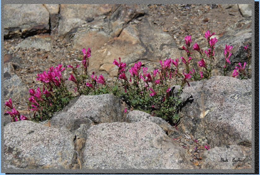
Before you see the Crooked
Lakes you hike past Island Lake. There were some fish jumping in this
lake and also some campers around it. On the way out there was a raft
and a couple kids having fun dropping another kid off on some of the
submerged rocks near the shore. This lake offers some good swimming
possibilities. Here is Tyler taking it all in.
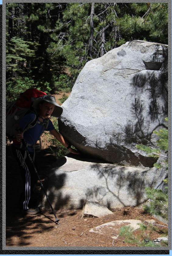
I talked Tyler into putting
his hand in the giant rock monster's mouth past Island Lake (yes, there
are islands in Island Lake).
Another shot of Island Lake, and an island. The trail remains level
through this section with decent tree cover.
Here is a shot of trail conditions through this section.
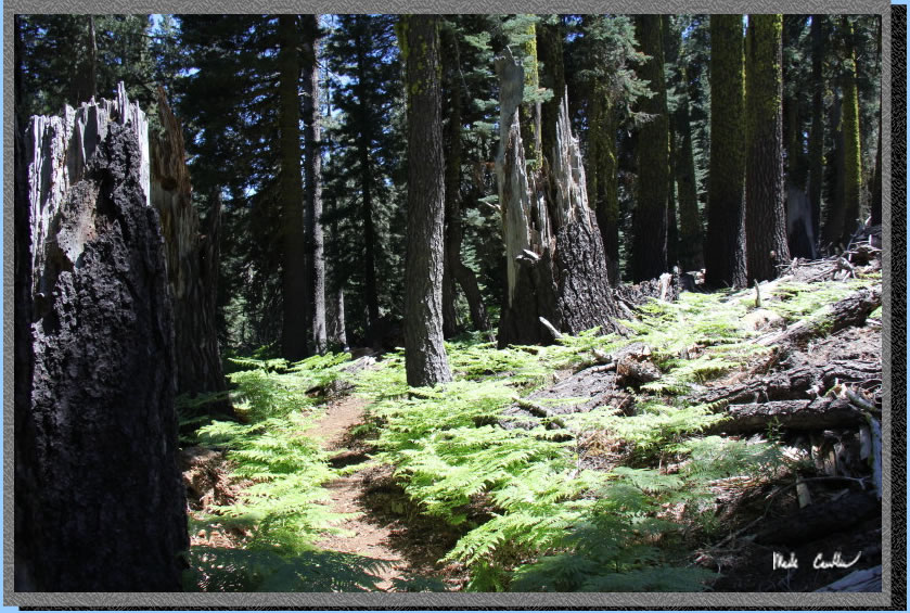
There are two neat fern sections
of trail. This shot does not even come close to capturing how cool this
section of trail was (some things you need to see in person).
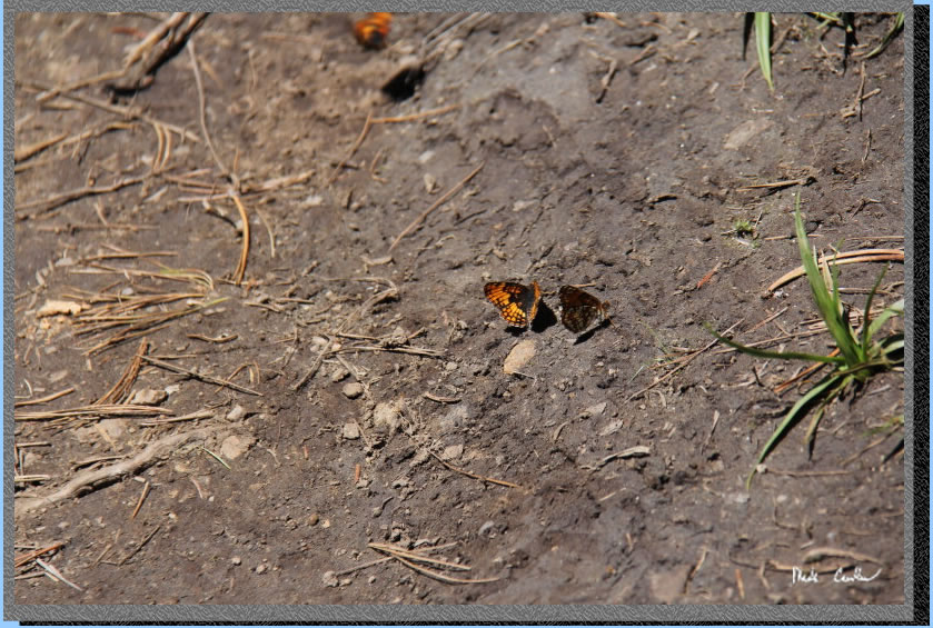
Tyler stopped me after fernville
to see the butterfly party on the trail up ahead. There were a dozen
or so before my camera scared them off.
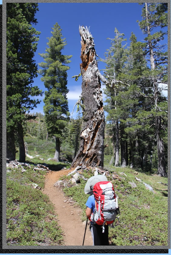
Here is the big scary tree
monster on the way in. This thing looked even creepier in person. I
talked nice to it as we past, just in case it was listening...
Some more wildflowers growing
right out of the rocks.

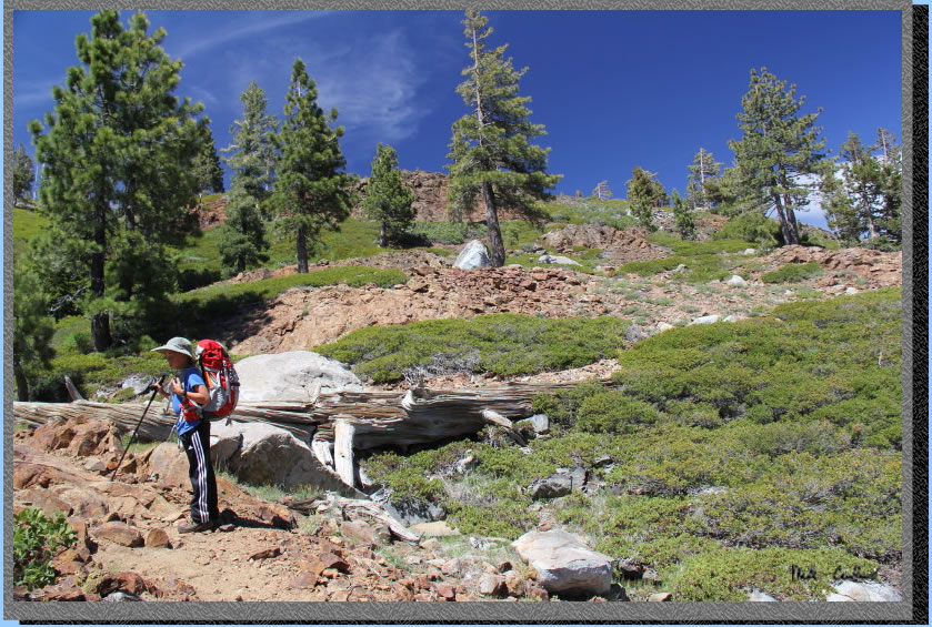
So after you pass by Island
Lake and the Crooked Lakes close to the trail you strart climbing. Here
is Tyler starting the ascent. The trail goes up and to the right in
this shot.
You are quickly treated
to some gorgeous views of the Crooked Lakes, and the nearby features
of Haystack Mountain and Sand Ridge.
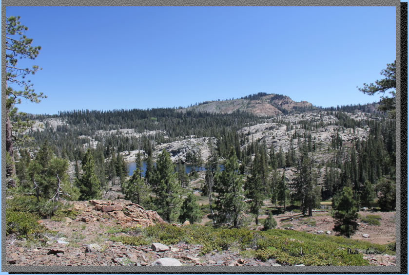
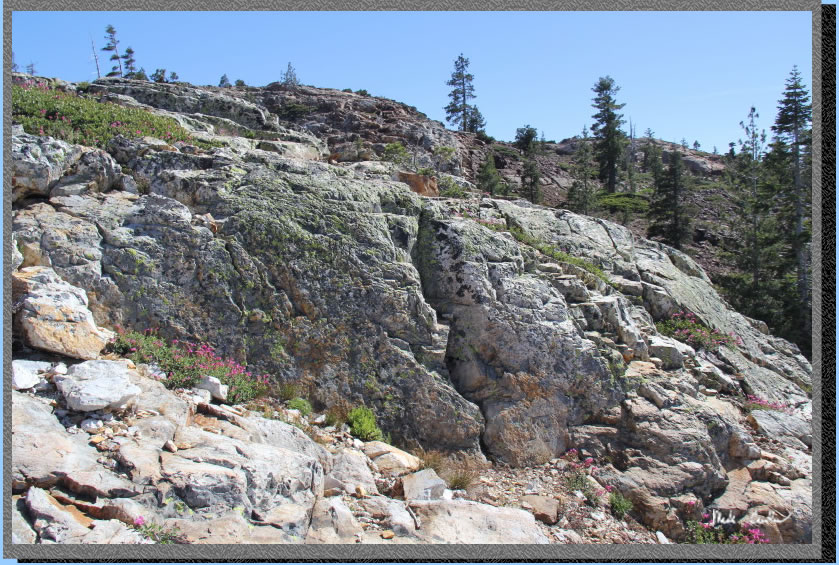
The uphill section is rocky
and exposed, just the way everyone likes their uphill sections. Lucky
for us the wind was really blowing to keep us from getting too warm.
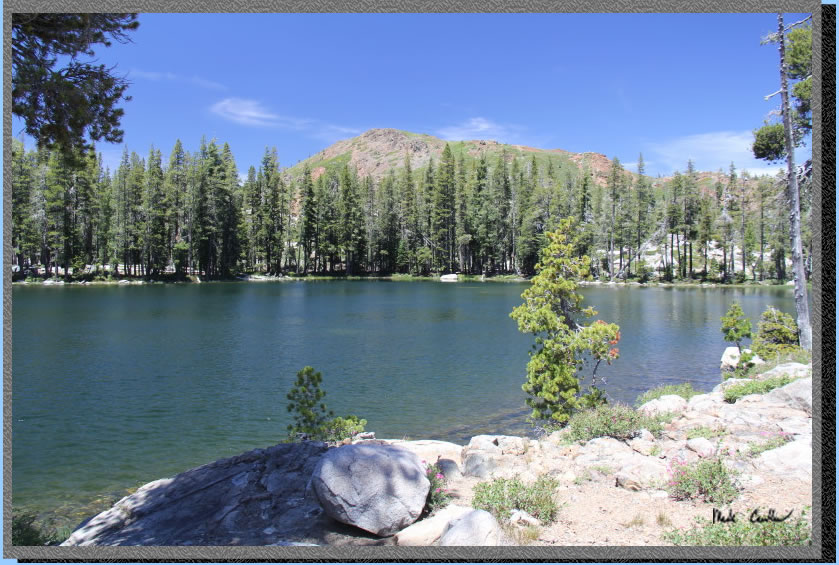
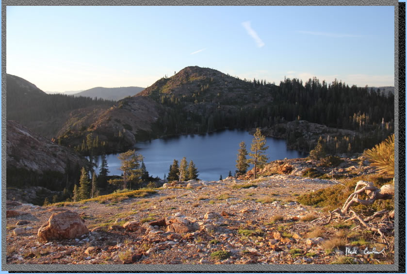
After the up, you hike slightly
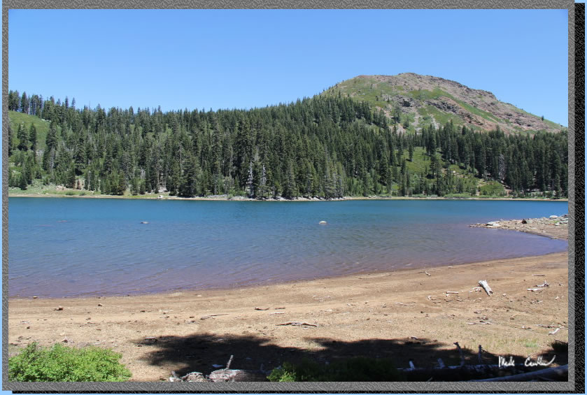
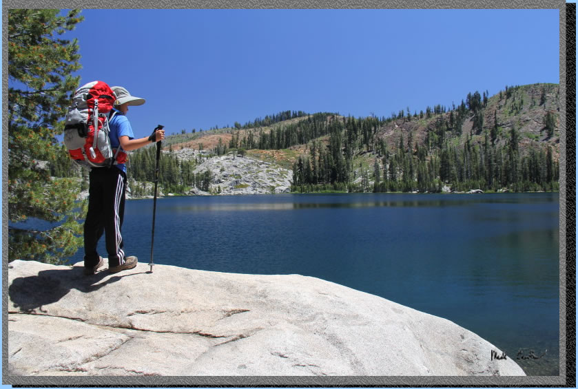
down to Penner Lake. There are decent sites on the the east shore. I
chose a site above the lake on the south shore, as there was already
a large group on the east shore. The area around the lake is rocky and
the wind was blowing all afternoon.
Tyler played in the water
for a while, and I just watched the waves for a bit. There were fish
jumping in this lake.
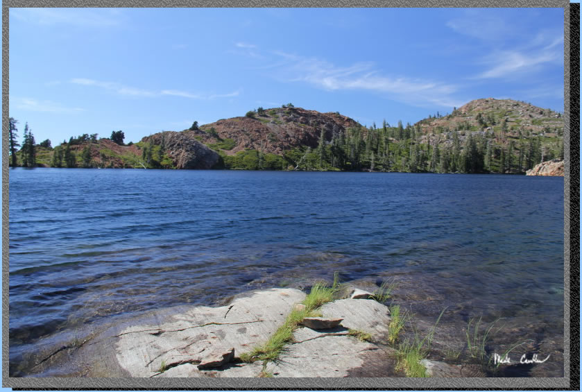
The rocks around this lake
are great for climbing, and looked neat too.
We hiked above the lake
that evening after dinner, and spent some time skipping some rocks in
a decent sized pond on the way back. You can see the wind died down
that evening. We had a nice evening of stargazing and then nice sleeping.
I heard a couple frogs but no other wildlife that night (not even the
group on the other side of the lake). Tyler is an early riser, so we
had woken up and had breakfast by 7:30. We hit the trail by 8:30 and
took our time on the way out. This is a great easy mileage trip with
some great longer trip options as well. I will finish with a couple
pictures taken on the way back to the car.
A better shot of Fernville
on the way out. 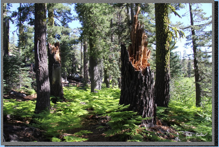
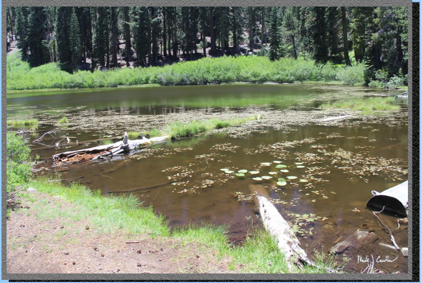
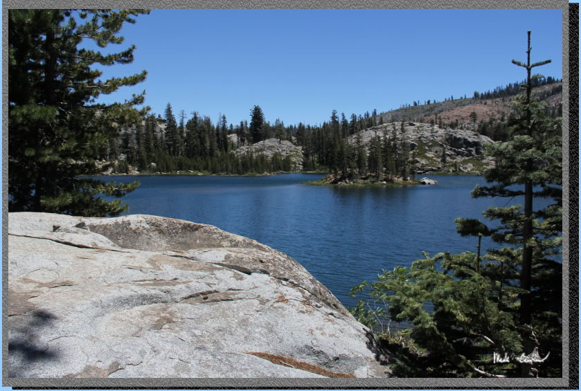
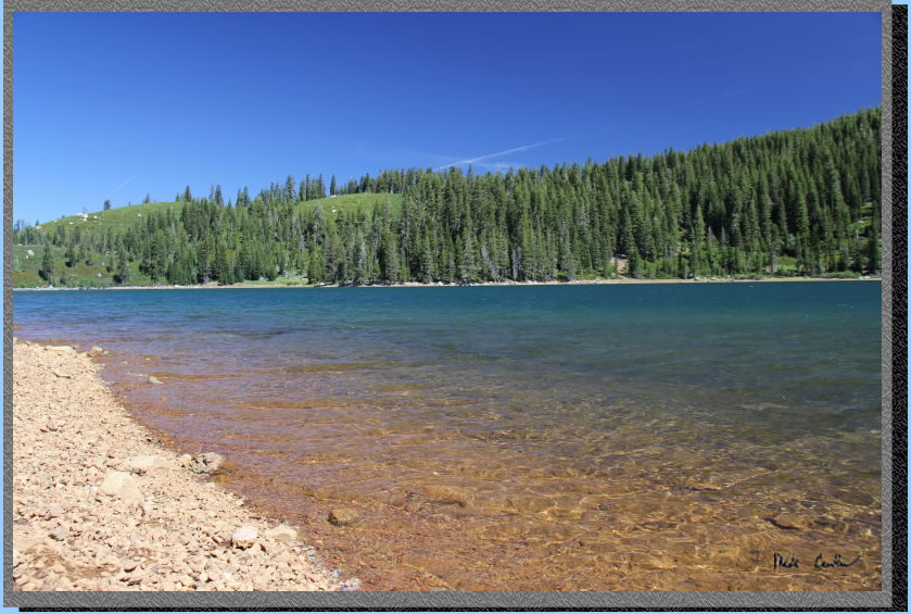
Feeley Lake's clear water.
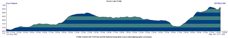
Bright red line shows the
trail to Penner Lake from the Carr Lake Trailhead in Tahoe National
Forest. Click on map or profile for larger version.
.
(back to top)