![]()
 Permit
- Call 831-338-8861 for permits. This is a popular trail so call ahead
and have some backup dates.
Campsites are $15 per night with an
$8 transaction fee.
Permit
- Call 831-338-8861 for permits. This is a popular trail so call ahead
and have some backup dates.
Campsites are $15 per night with an
$8 transaction fee.
Mileage - 25-33 miles depending on route, and who you believe. We did an estimated 7 miles the first day (Saratoga Gap to Waterman Gap), 10 miles the second day (Waterman Gap to Jay Camp/Big Basin Headquarters), and 12 miles the third day (Jay Camp/Big Basin Headquarters to Waddell Beach). My GPS acted up some, so was only able to accurately record day 1, bad gps!
Camps/Water - There is potable water/trash cans and bathrooms at Waterman Gap Trail Camp, Jay Camp/Big Basin Headquarters and at the ranger station north of Waddell Beach. The sites at Waterman Gap have no improvements (hang food from critters). Jay Camp has food lockers and a couple tables - consider reserving a car camping site at Big Basin instead, so you have more space and a table/fire ring. If you want to shorten your last day you can stay at Twin Redwoods. There is no bathroom an no water at the Saratoga Gap parking lot.
Hazards - Poison Oak, Mountain Lions, and pesky raccoons (although we only saw them at Jay camp)
Day 3
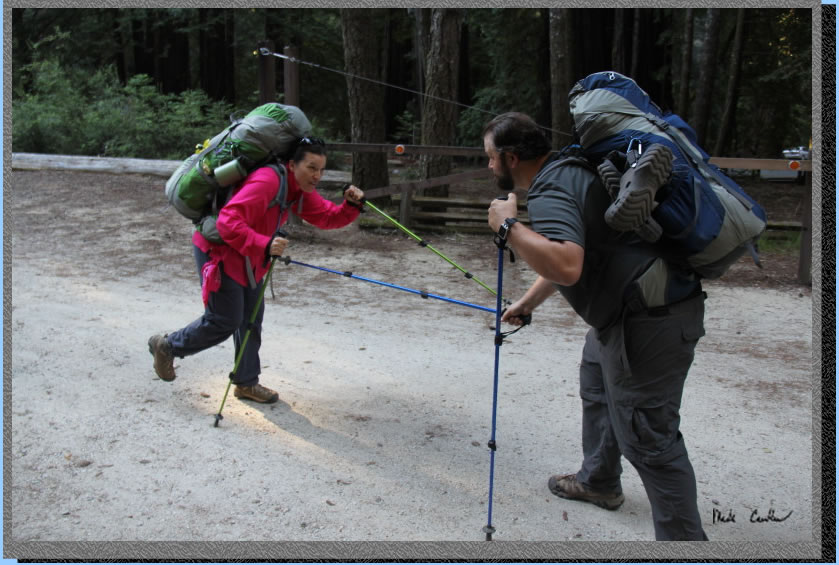
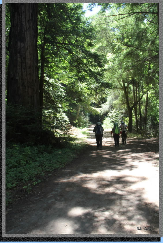
The group at site #6 was some type of youth group and got up early, as early as we did. They seemed to be ending their trek at this site though, they were loading up into vans when we were headed out. Here are Jenn and Zakk doing the morning joust to see who gets to hike in front.
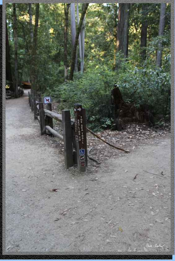
We decided to head out past the bathrooms and onto the "use trail" on the other side of Highway 236. Once we traveled for a short distance back toward the store (north) we found a trail marked "Skyline to the Sea Trail". Rather than walking back to the spot we came off the trail the day before (probably less than a 1/4 mile north) we decided to use this connecting trail.
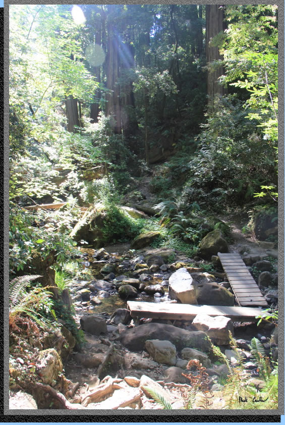
We quickly crossed Opal Creek (not much water in it) and came to a sign stating 12 miles to Waddell Beach. We like that idea (as we thought is was closer to 13).
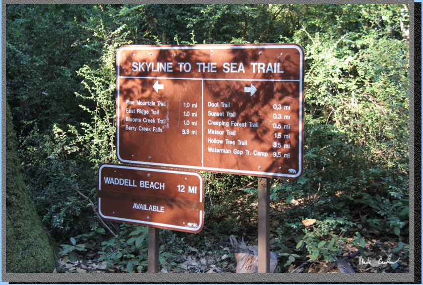
Our first real trail junction was here at Pine Mountain Trail. The trail starts to climb at this point through some downed trees. At one point you are headed on a switchback in the complete opposite direction (it is funny how it feels like you are on the wrong trail sometimes on long switchbacks)
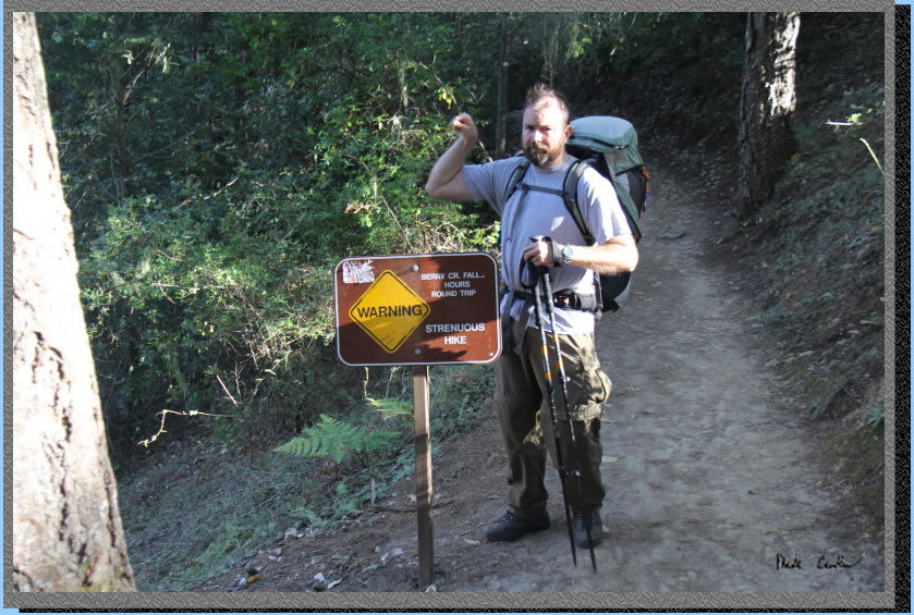
Once you are done climbing you will be at the Middle Ridge Trail crossing. You will head down now on the Skyline to Sea Trail. I like the warning sign for the trek to Berry Creek Falls. I am sure that the rangers have some stories about hikers not able (or maybe just barely able) to make the hike back to camp.
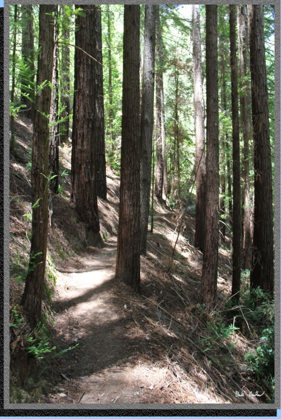
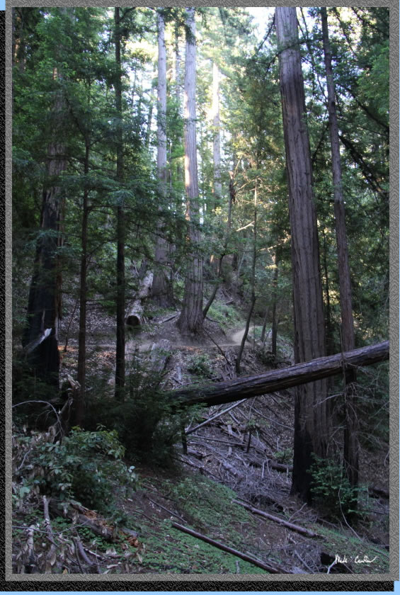
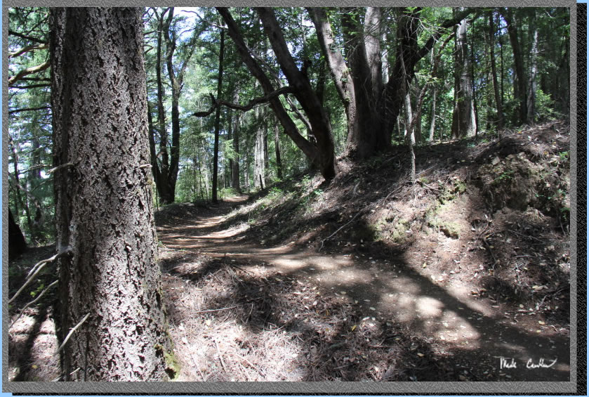
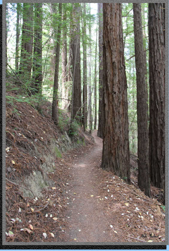
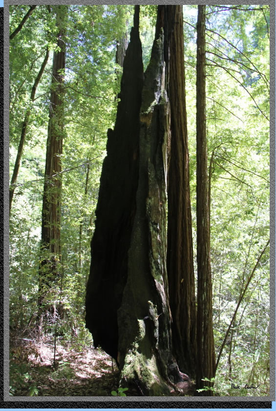
The sun was coming out a little more now, so there are some cool pictures of the redwoods we were hiking through. The trail remains covered and with our early start it was still great hiking weather (cooler is better I always say).
There are lots of maps on this section (so it would be especially difficult to get lost). The junctions are again, well marked. Here is the map at the Sunset Trail connector junction. The trail now follow the creek, eventually named West Waddell Creek, on my map.
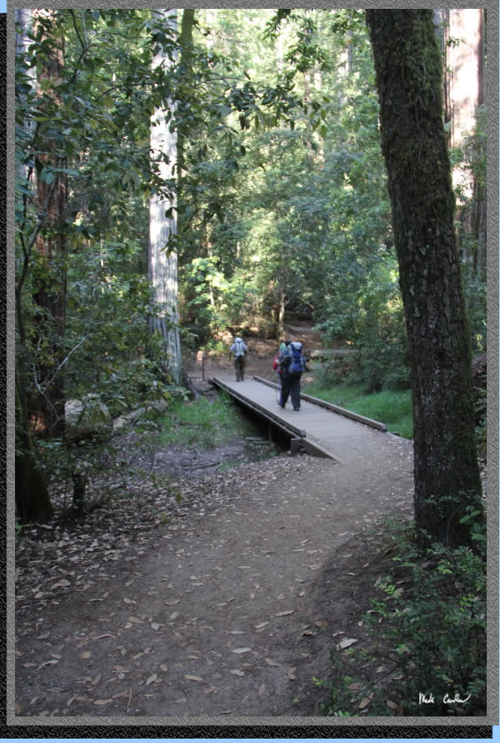
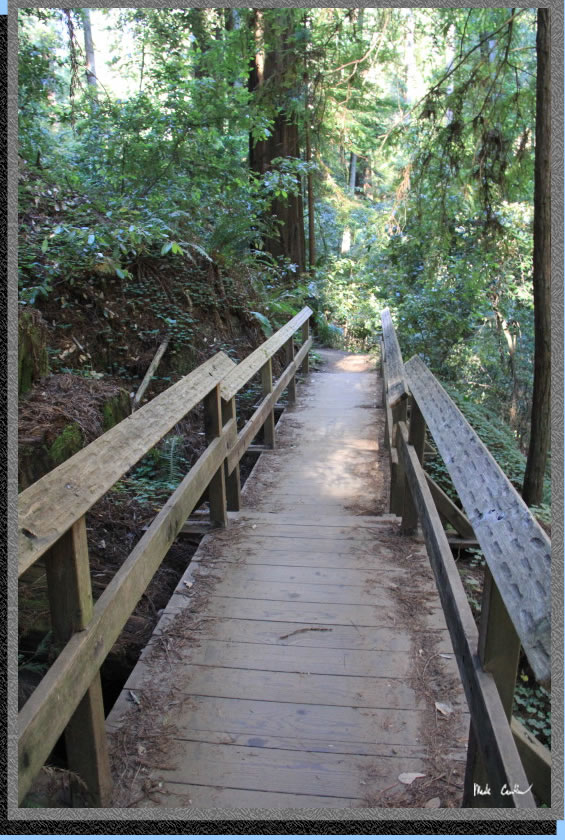
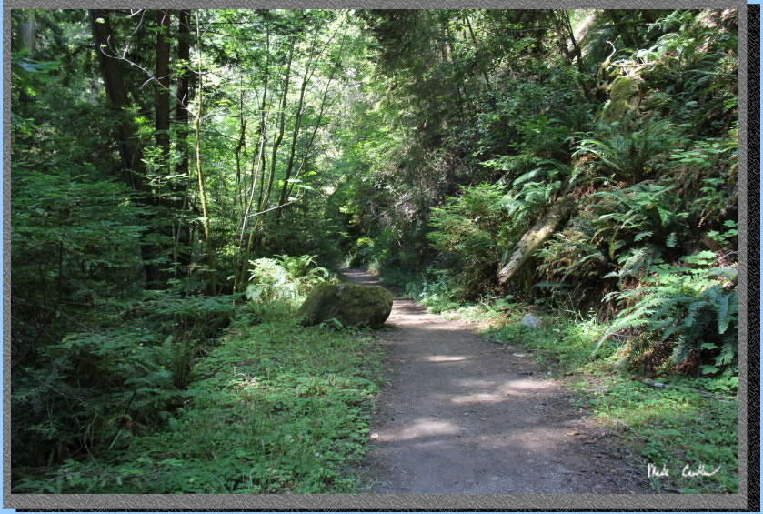
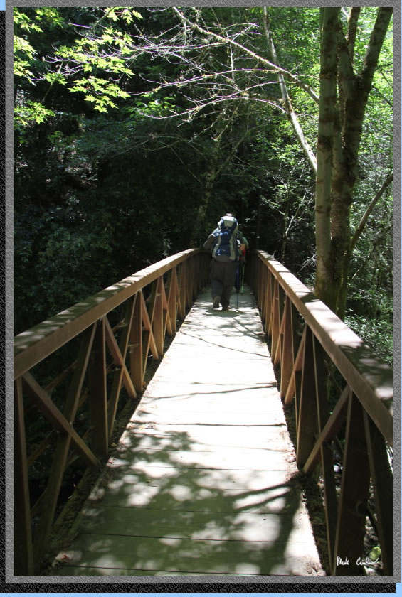
The trails are well maintained and there are many foot bridges. There are also some awesome trees, so don't just look at your feet through here.
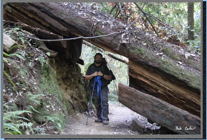
Some logs are better to leave over the trail. Here is Zakk showing me "Mad Hiker Face", not sure what he heard me say...
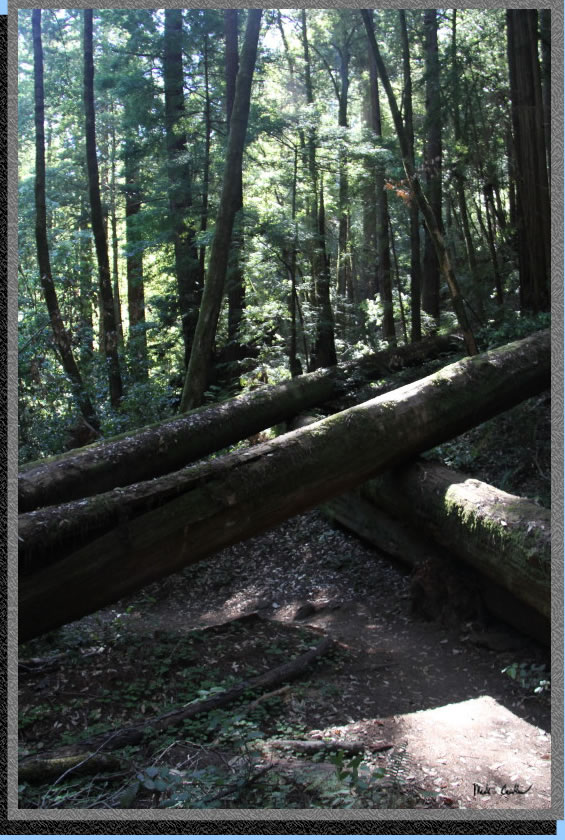
You pass by the Timms Creek Trail junction and are almost to Berry Creek Falls now. There are some more awesome fallen trees through the next section. They look like giant Linkin-logs that were setup perfectly over the trail. You didn't even have to duck when walking under them.
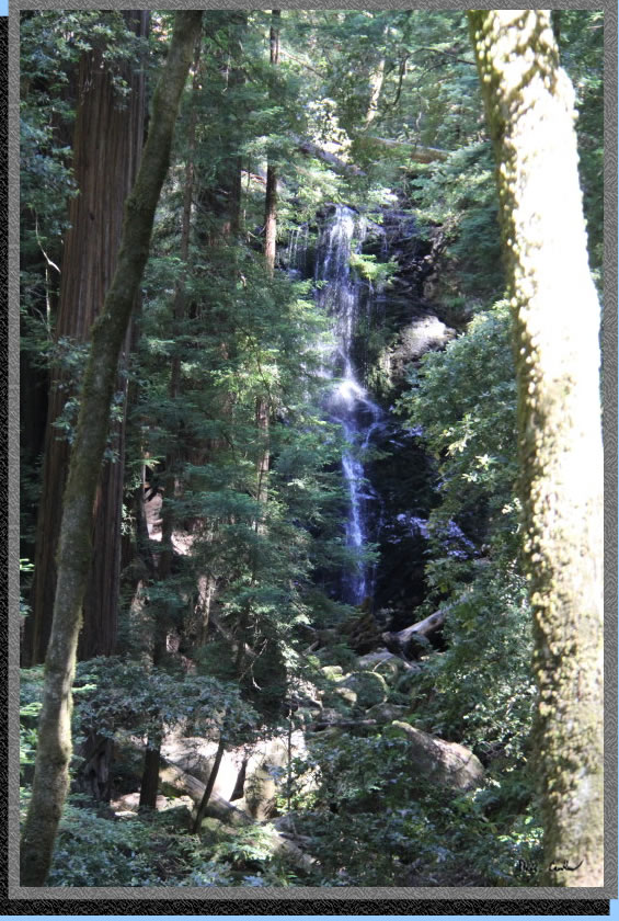
You continue down the trail and cross the creek now to reach a view of Berry Creek Falls. We decided to enjoy the view from this overlook and not take the time to walk on the trail that gets you closer to the falls. Sunset Trail Camp is off of this trail, I have never stayed there (but that would be another option to shorten this hiking day). The trail continues following the creek, and is generally downhill, but there are still some uphill sections mixed in.
Here are the falls from this vantage point.
This was a neat two channel metal bridge to get you back on the other side of the creek. It is shiny metal and apparently I was worried about capturing the reflection in the creek, not the bridge with the exposure I picked.
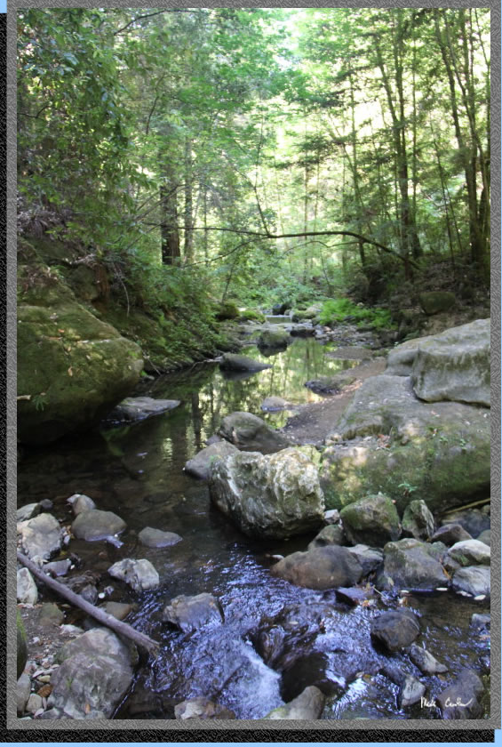
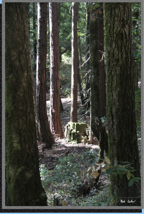
The Howard King Trail is the next junction. That trail looks like no joke on my map. It quickly ascends the ridge headed east toward Big Basin HQ. The Skyline to the Sea Trail gets very close to the creek on this section. Here is a shot of the creek. While it was not flowing much, it was still beautiful.
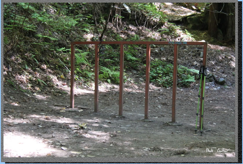
Bike racks are provided here, as the trail is closed to bikes east of here. We saw only one group of cyclists on the trail that day. They were traveling at a good clip eastbound, but passed by us courteously.
The trail widens now (you can see why bikes are allowed to share the trail now).
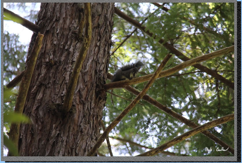
There is a big sign at the Henry Creek Trail junction. Stay on the wide Skyline to the Sea Trail. A little ways past that junction I saw this guy scurrying up the tree. Here he is carrying a nut up the tree. He did not like me taking his picture! I will refrain from any squirrel/nut jokes!
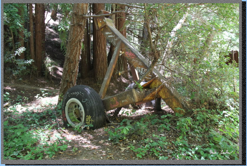
The junction with the McCrary Ridge Trail is next. There is some strange looking tire assembly here, it looks like it fell off a plane!
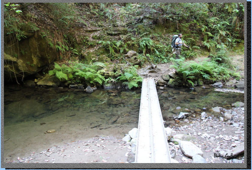
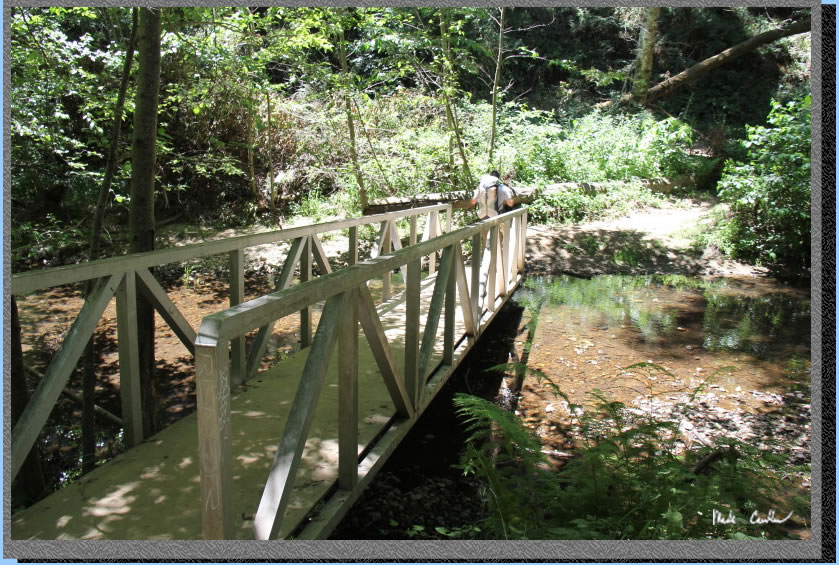
We followed the signs for the footbridge over East Waddell Creek. Here is the bridge.
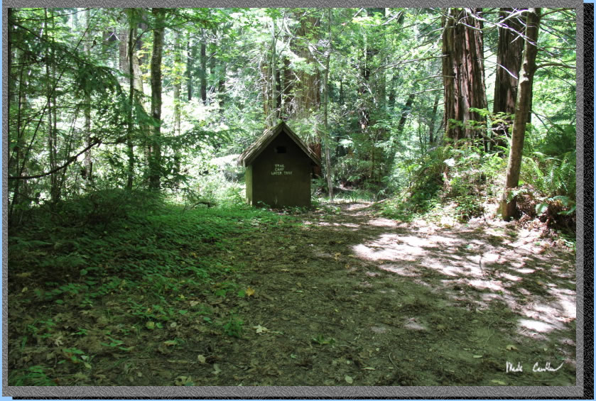
There used to be a camp here (see the camp water tank) picture below. It is permanently closed as the road to it washed out. Servicing the camp without a road to it doesn't work well.
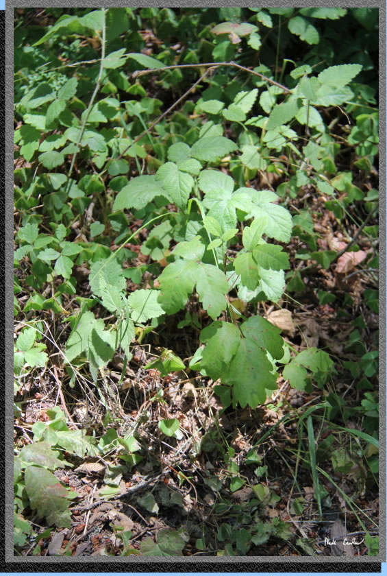
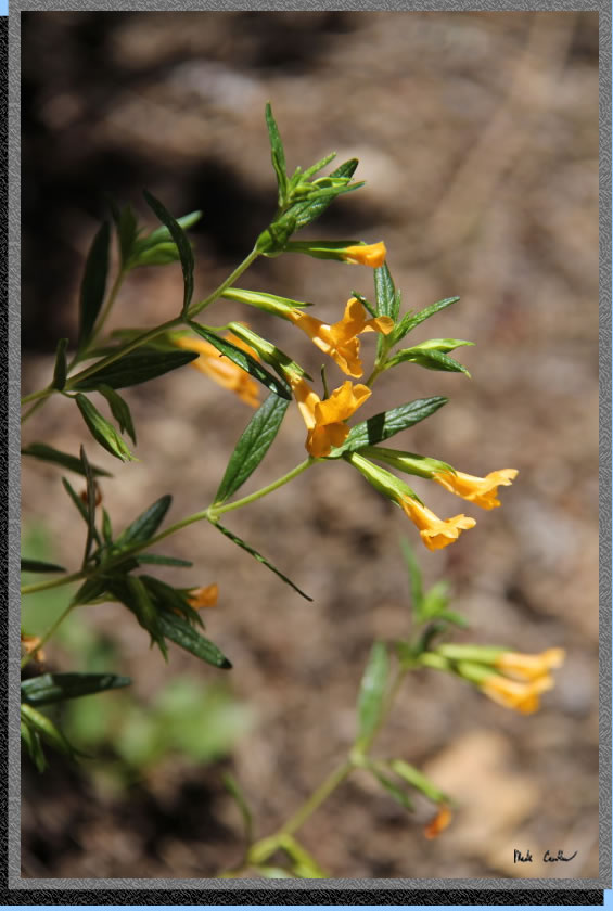
The trail continues, but narrower now. There are some sections that have a decent amount of Poison Oak. See the picture below to see if you can identify what 3-leaved plant not to touch. I find the easiest way to avoid getting Poison Oak is to avoid going off the trail in areas it likes.
Pretty soon you are at the Twin Redwoods Trail Camp (we were here in 2001). You could easily miss the trail to this camp on the north side of the trail. There is no water at this camp, so treat from the creek, called just Waddell Creek now.
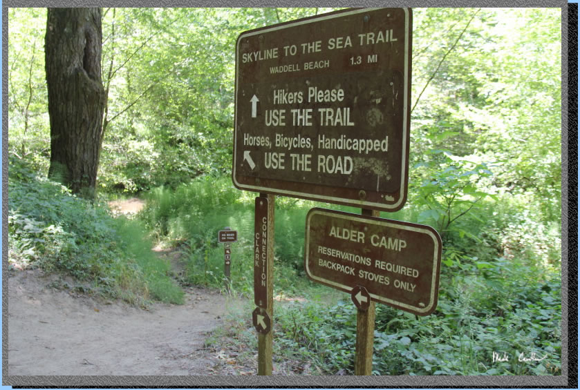
We took the trail at the junction with the road and the trail to Alder Camp (never stayed at this camp). Alder and Twin Redwoods are really close to each other, which is good in case you call and one is full.
The trail had been re-routed through this section to the north. You cross the creek and then stay on the north side of Waddell Creek now to the trailhead.
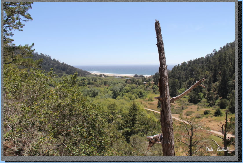
Your last junction is with the Clark Connection Trail that heads north up the ridge to Chalk Mountain. We continued along the Skyline to Sea Trail to the west (technically I think we headed south from here, but eventually we head west). The trail climbs a little to follow the canyon wall. There are some views of active farming going on alongside Waddell Creek. I could not make out what crops are planted out there. Eventually the trail rounds a bend and you get your first views of the Pacific. The end is near, which Jenn put best as "bittersweet". Here is the best shot I captured of the view. The trail is exposed now for the remainder of the trek to the trailhead.
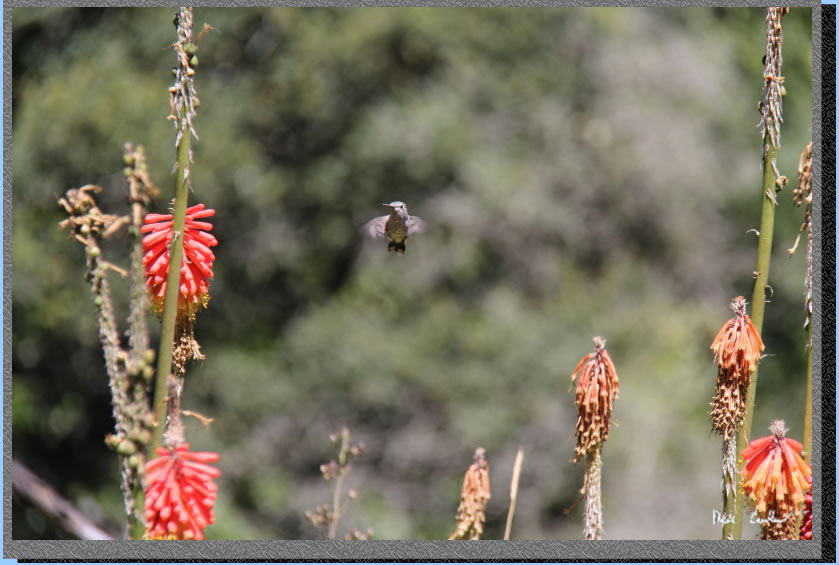
Here is a hummingbird at the trailhead that let me take a couple quick shots before heading off. This is an awesome trail to hike. My pictures do not do justice to the beauty of hiking among the big trees for 3 days. Weather is also a big consideration on this trip. It can flat out pour in this area, so you should have a plan for that. I will post some more shots below that did not fit in with the trip description. Shooting in the low light can be challenging along this trail.
Scary shadows/trees!
I almost had to go sit on this stump!
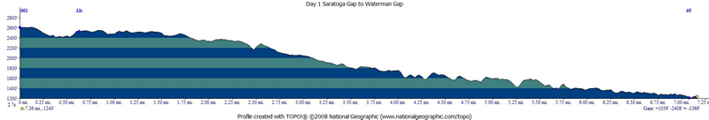
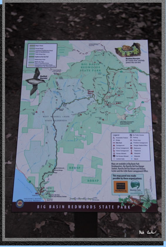
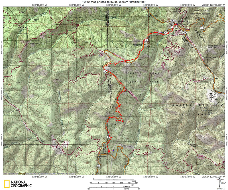
Bright red line shows the
trail from the parking lot at Saratoga Gap parking lot to Waterman Gap
(Day 1). Click on either for a larger image. For day 2 and day 3 maps
you can buy an official map or use the ones online at www.redwoodhikes.com.
.
(back to top)