![]()
 Permit
- A permit is required for all overnight stays at Castle Rock State Park. Permits
can be obtained using the park's website. You will need to check to see if there is space available at the trail camp for the dates you want on the online calendar, fill out the online form to request a site, then call to pay over the phone once you receive email confirmation you were given a spot.
Permit
- A permit is required for all overnight stays at Castle Rock State Park. Permits
can be obtained using the park's website. You will need to check to see if there is space available at the trail camp for the dates you want on the online calendar, fill out the online form to request a site, then call to pay over the phone once you receive email confirmation you were given a spot.
Parking - Overnight parking is located behind a locked gate (code given to you if you reserve a site). You will need to check in at the Kirkwood Trailhead before parking (new paved lot just to north).
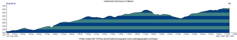
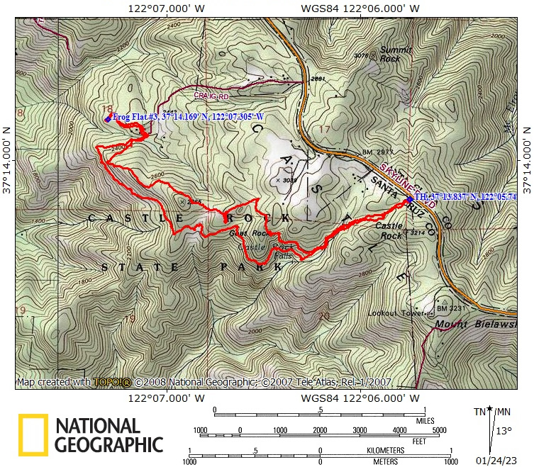
Mileage - GPS on this trip shows the trek from the car to camp (~3 miles) via Saratoga Gap Trail and return trip (2.7 miles) via Ridge Trail. See map/profile below.
Camps/Water - There is no provided water at this camp! There is usually a running creek near camp you can filter/treat (check with ranger first). There is a bathroom (pit toilet) but no trash service for the camp (check with ranger as this may vary depending when you go). Each of the sites has a fire pit and picnic table. Check with ranger on fire conditions and wood availability via iron ranger.
Cell Coverage - There is no cell coverage at the trailhead or at camp :-)
Hazards - Mice, raccoons, snakes, Poison Oak and falling trees. Nearest Ranger # (408) 868-9540 (always check with ranger ahead of time for current water/trail conditions, really, do it).
Dan, Eric and I made this trip to Castle Rock trail Camp in Castle Rock State Park. With the wet weather we were not sure if this trip would be possible until I was able to connect with a ranger. Besides some downed trees the trail held up amazing well through the historic rain. Creeks were running high but not overflowing.
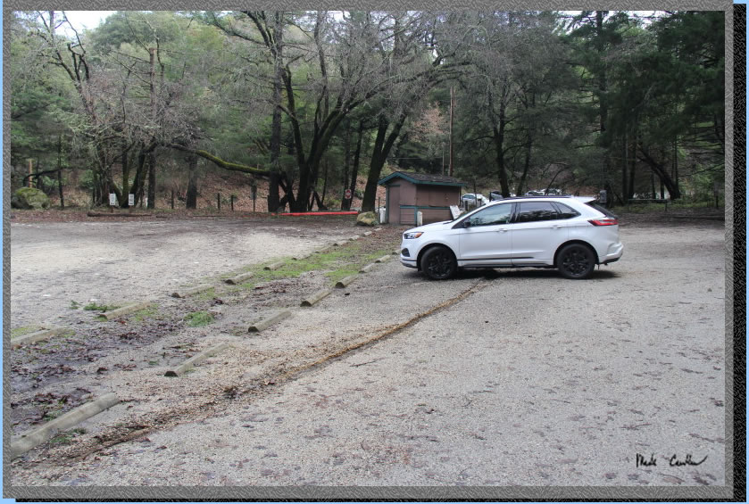
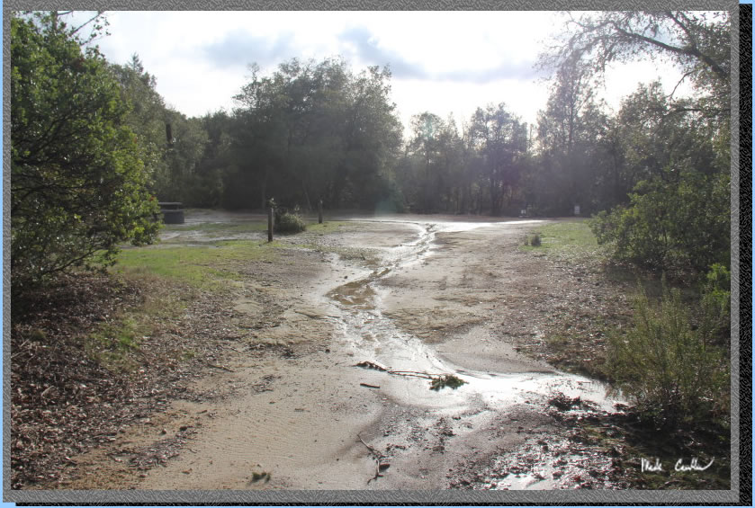
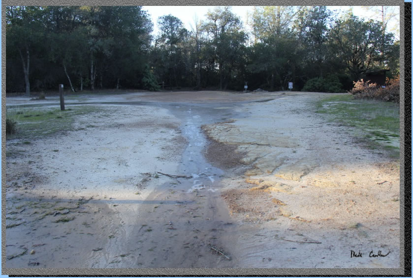
We parked at the overnight dirt lot (originally the only lot) after using the code to get in the locked gate. There was evidence in the parking lot that there had been a good amount of rain flowing through here. Image shows the old ranger kiosk and he fact that there was ample parking available. Spoiler alert (we had the place to ourselves that night).
. 
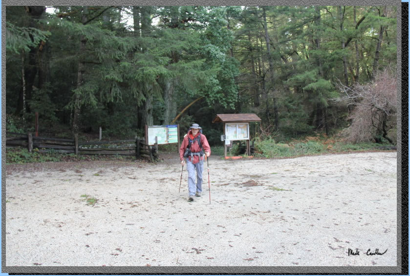
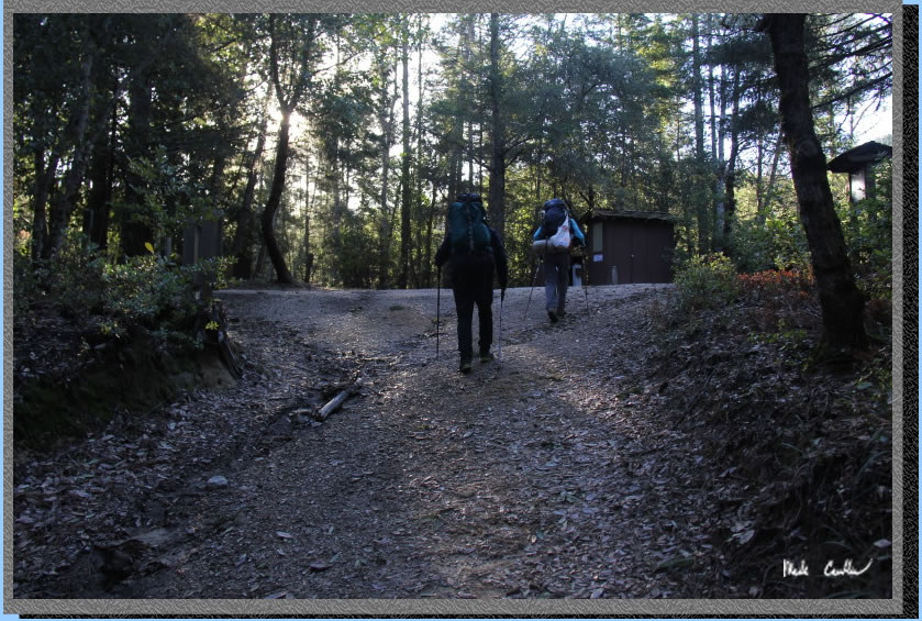
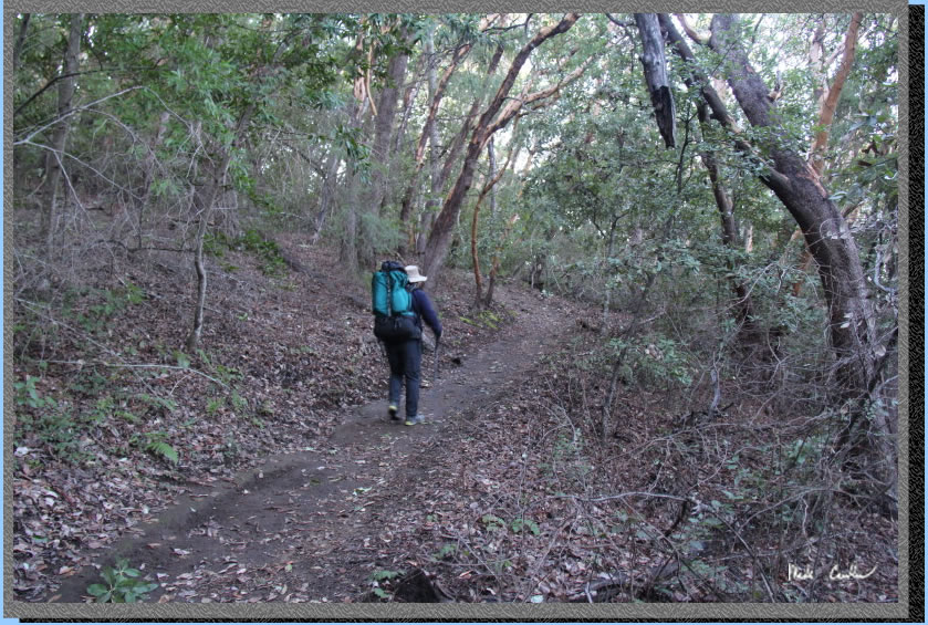
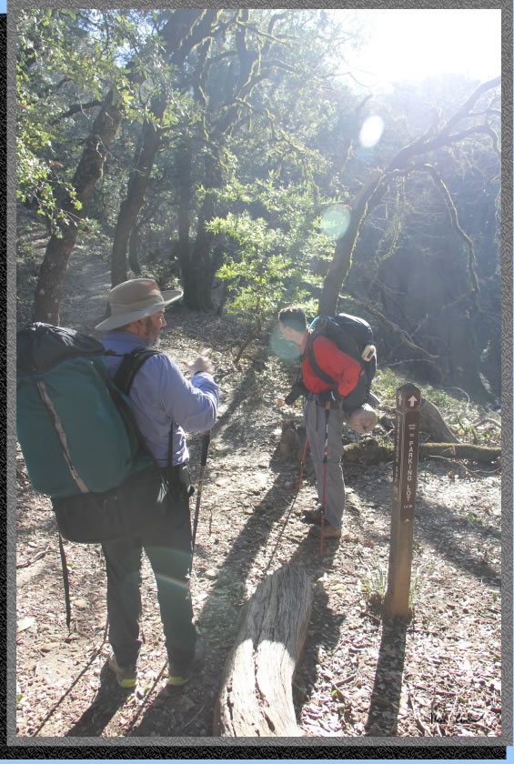
The trailhead is behind Eric in this shot.
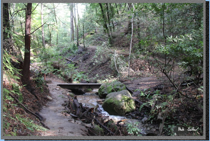
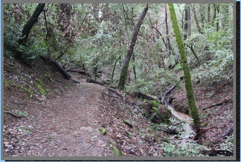
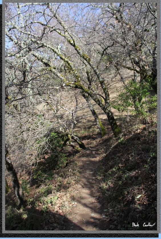
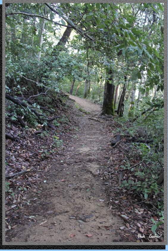
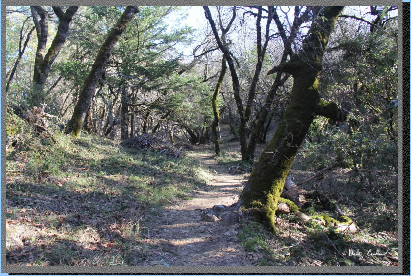
The trail is well covered as you head down along one of the fingers of Kings Creek. I took a short video to capture the creek sounds (click on the picture to get to the video). The sound was amazing through this stretch of trail.
You quickly come across your first junction with Castle Rock Trail (to Castle Rock). Stay right here along the creek.
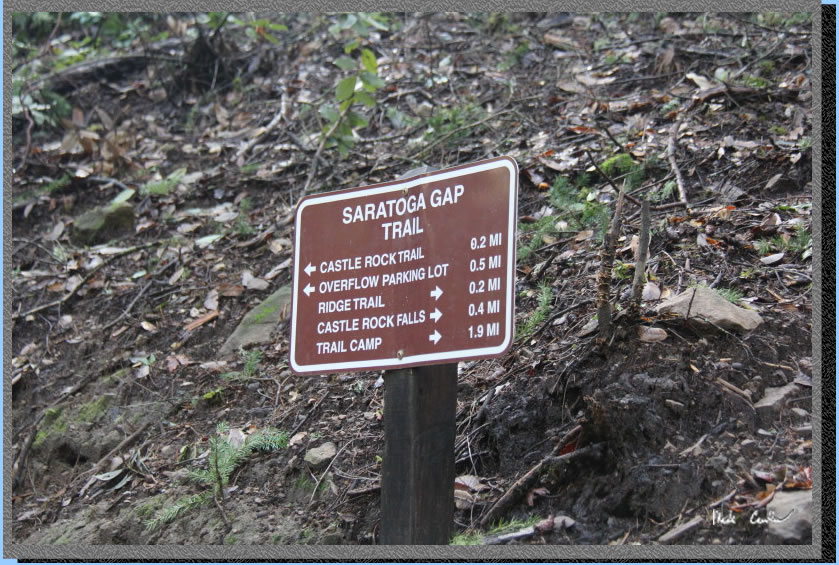
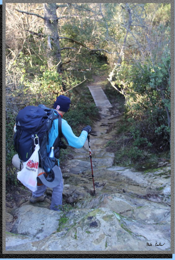
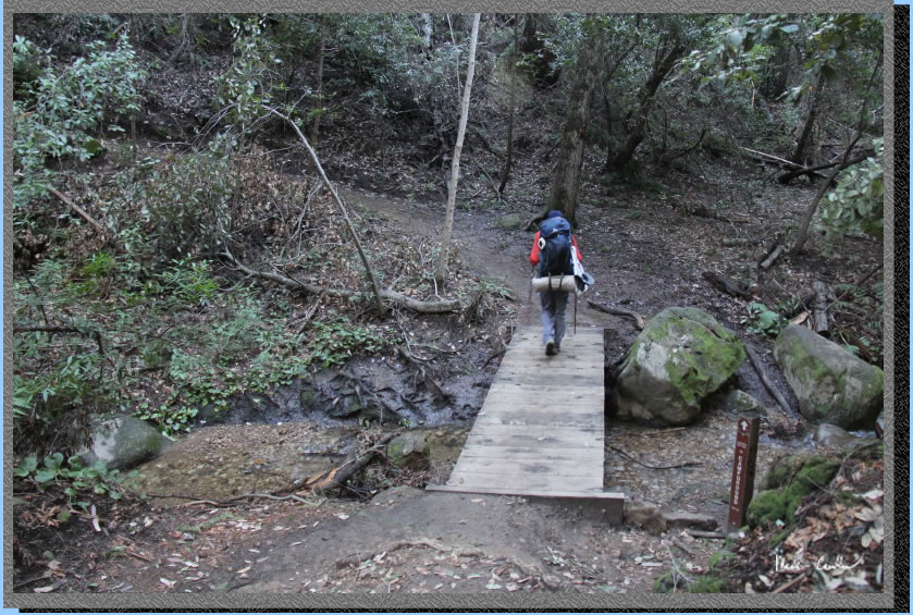
The creek was flowing well which is great to see after so many dry years. We had expected to see more damage. The next junction has a newer bridge that connects the trail to the new Kirkwood Parking Lot. This bridge did have some damage due to downed logs flowing into it, when the water was higher.The bridge was still in good enough shape to cross, if you were headed in from the main trailhead. Continue straight past that junction and you will head down to the crossing shown below. Make the first left after crossing the bridge to Saratoga Gap Trail. If you continue past and use the second left up the hill (behind the big redwood shown) you are on the Ridge Trail.
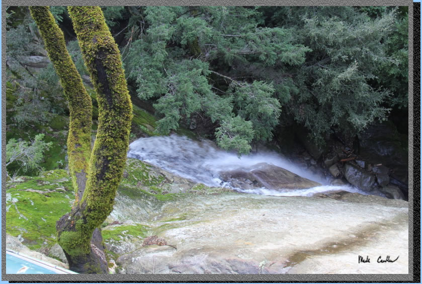
Before you know it you will be down at the falls. We ventured out onto the observation deck to see Castle Rock Falls. I also took a short video of the falls, click on the image below to access. We saw another group out at the observation deck that Thursday morning.
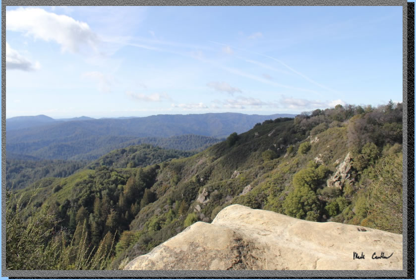
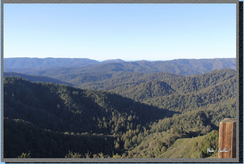
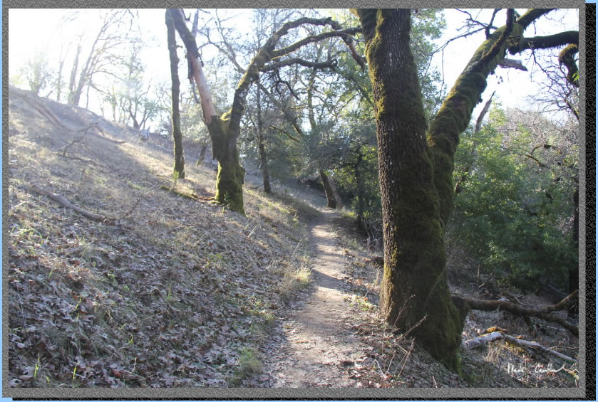
The trail goes up with the sound of the creek now in the valley below. The trail opens up to great views to the west of the San Lorenzo Headwaters Natural Preserve and Saddleback Ridge. It was a great day to be on the trail.
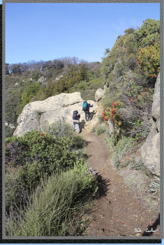
Here we are going over some rocks. You can see the openness of this section of trail. Besides birds and a few gray squirrels (that were too shy to be photographed) there wasn't much wildlife seen.
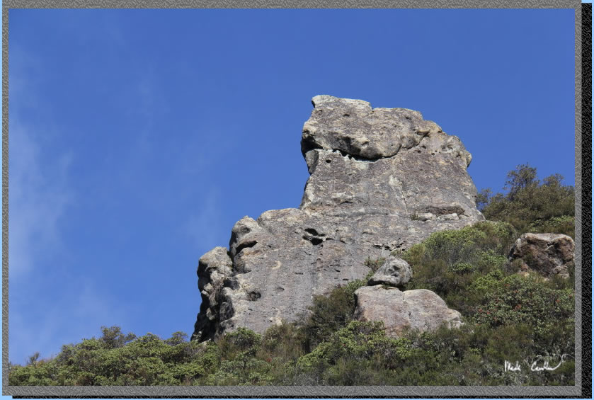
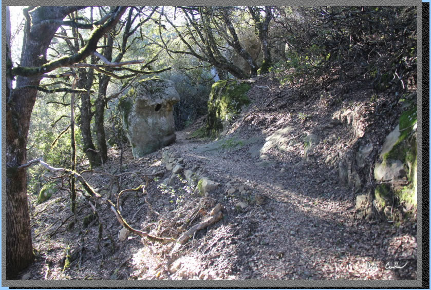
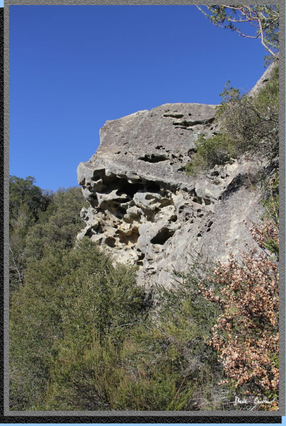
Here is another rock formation above the trail. You can see why this place is popular with rock climbers.
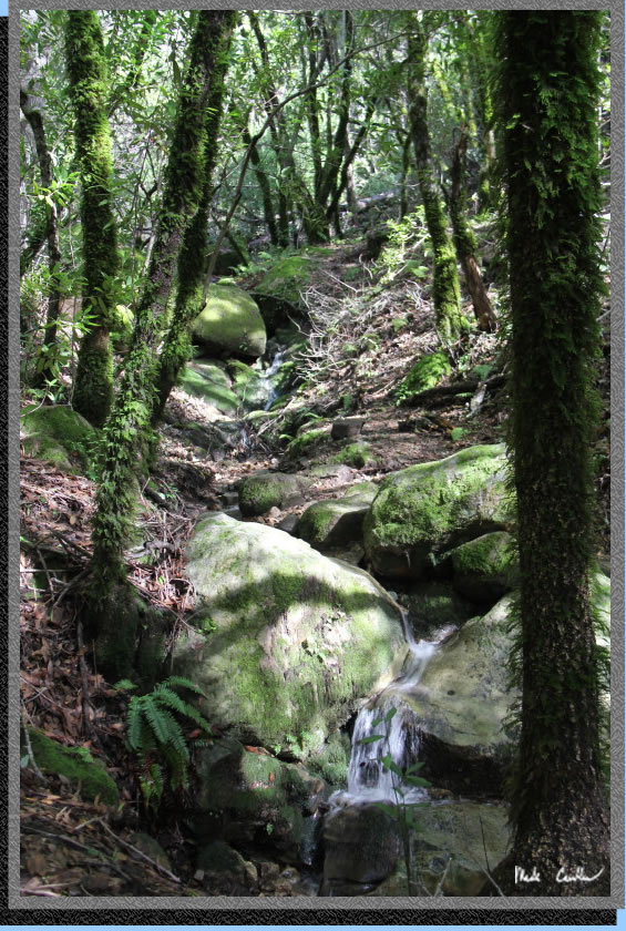
Here is a shot of one of the seasonal creeks flowing across the trail. It was another one that needs sound to appreciate. I didn't video this one though, sorry.
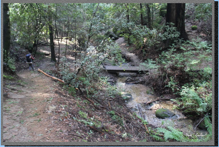
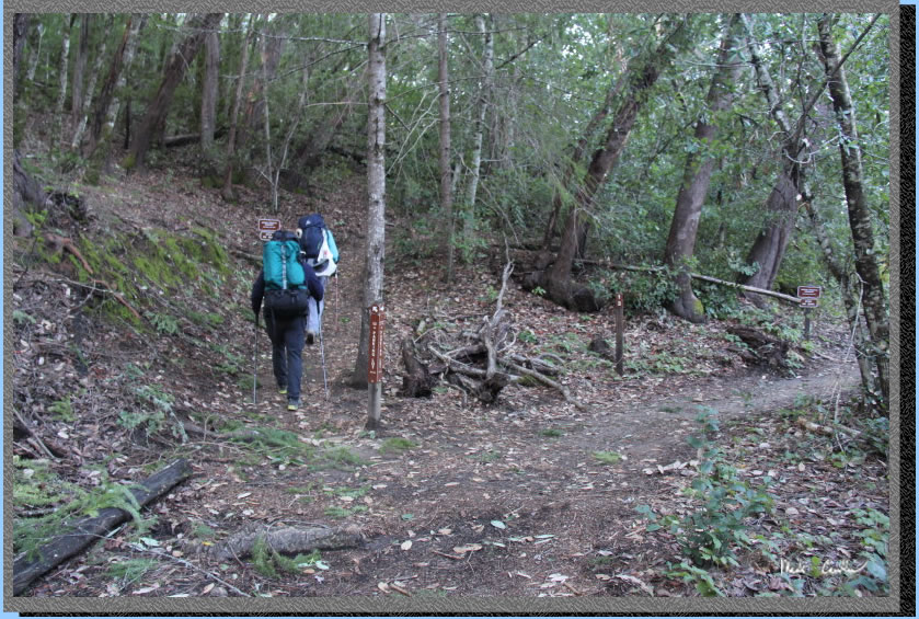
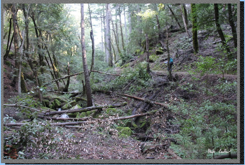
Continue mainly down toward the junction with the Interconnector Trail (that would connect you to the Ridge Trail). Trail transitions to partly covered. Just before the junction we came across a large downed tree that forced us off trail and onto the Interconnector Trail. We then back-tracked to to the Saratoga Gap Trail. If it is cleared you can just stay left at that junction. Image of trail conditions through this section.
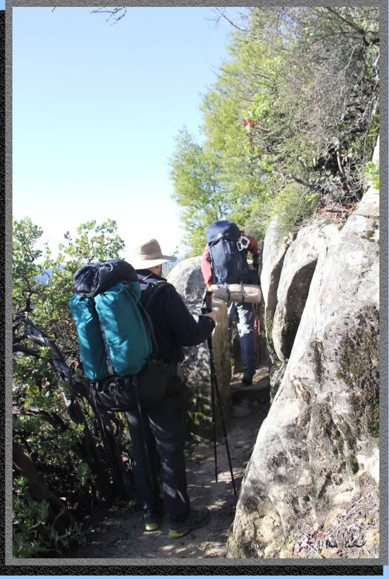
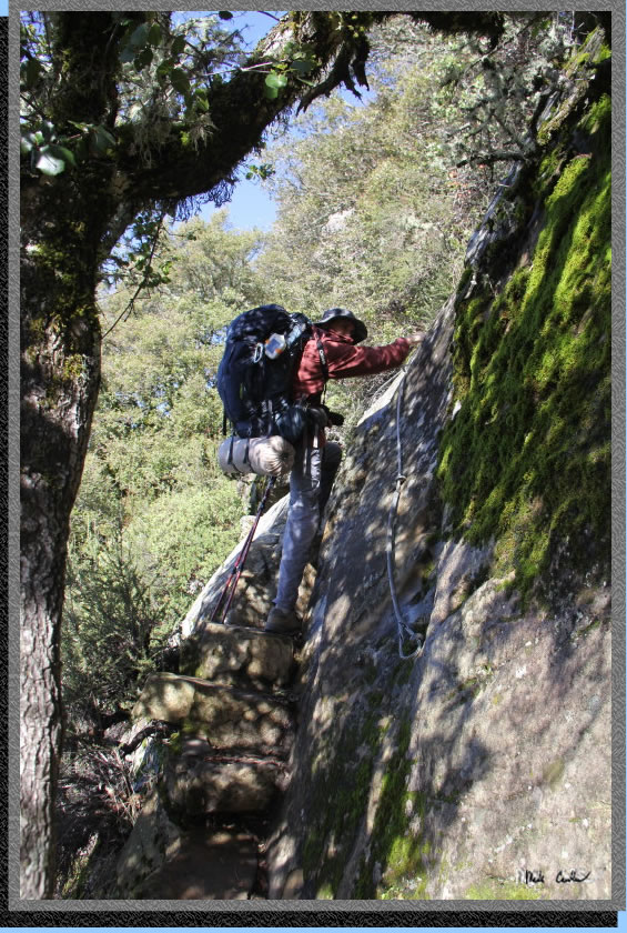
Continue through the narrow rock gap. You can see Eric having to turn a little sideways as he hoists himself through the gap. As long as your pack isn't too wide you squeeze through fine.
Another spot to enjoy the view to the west.
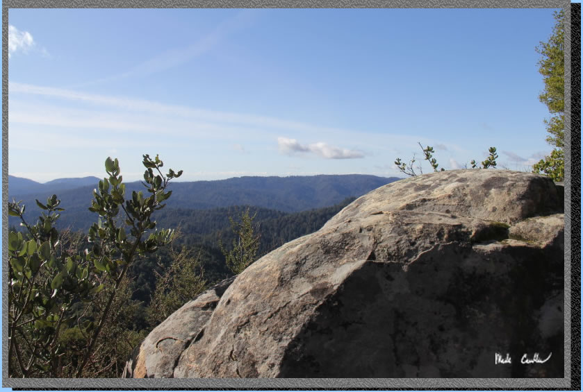
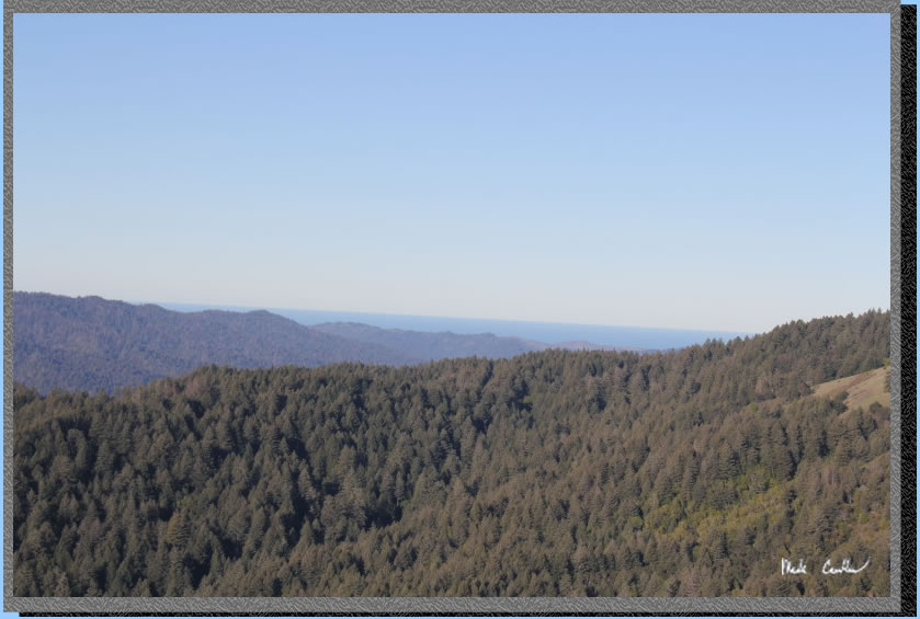
It was just clear enough to see the ocean in the distance. I would like to be out here on a crystal clear day once. Maybe just after a rain.
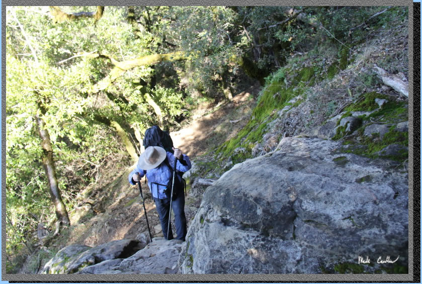
Here is another rocky part of the trail. There is a cable through this section as falling off to the left would be bad. We found even the wet rocks along this trail to have some good grip to them. Most of the trail though here is not like the image below.
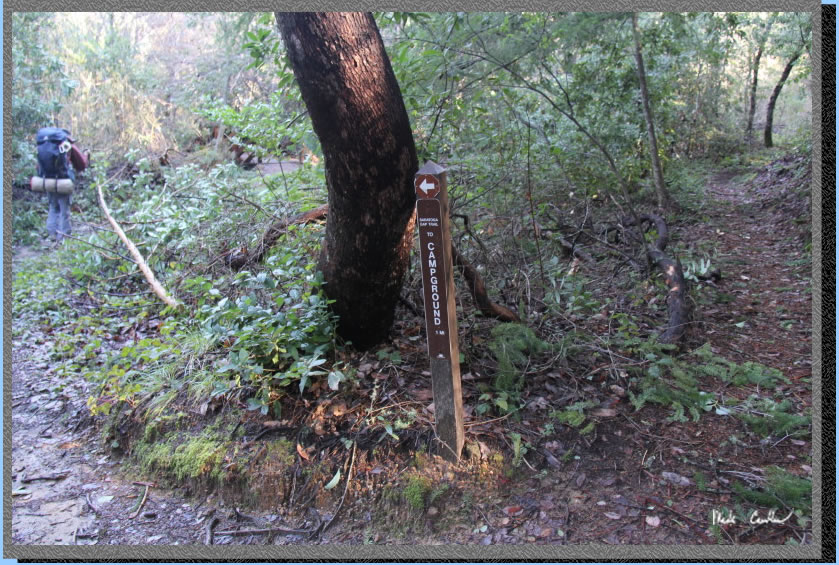
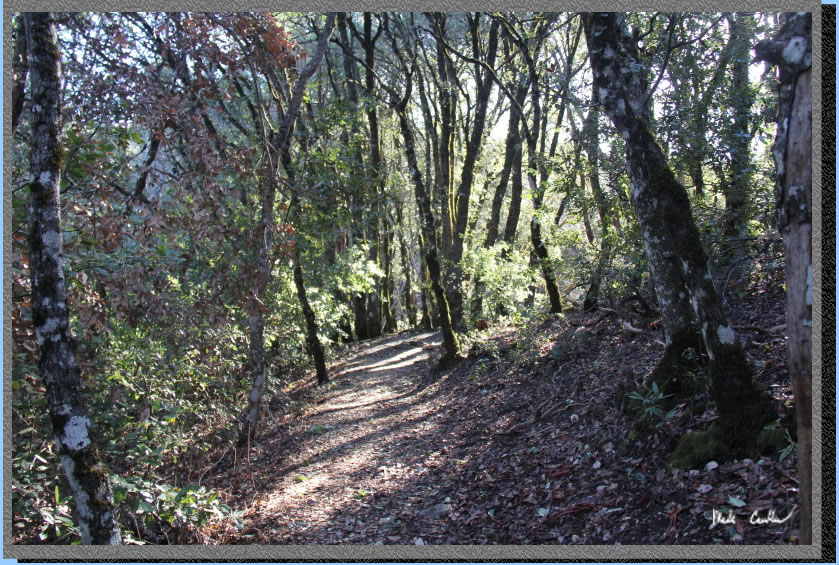
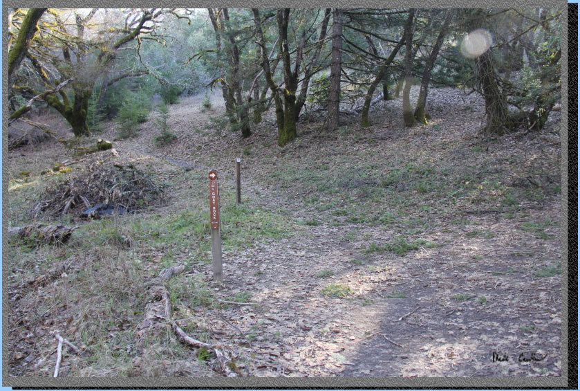
Continue right at the next junction with a nature trail sign. You will likely hear some gun shots now from the Los Altos Rod and Gun Club. Head toward the sounds of gunfire to get to camp. The trail is well covered now as shown in the image below. Oh, and don't fret the range is not open at night.
Take a left at the junction with the Ridge Trail and another left in the image below at the junction with the nature trail. You can just make out the bridge you cross past Eric in this image. After crossing the creek you head up a rock section and quickly find yourself at camp.
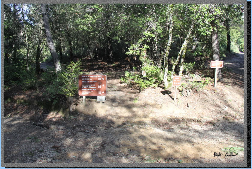
Here is the four way junction at the trail camp. head left down the rough road to get to Frog Flat (sites 1 - 5) or straight to get to the rest of the campsites/shelter.
We headed to my favorite site through this clearing (this shot is from camping looking back). You can see the evidence of some water flow through here It was still flowing but not much. We setup camp and had a ate lunch before heading back to explore the rest of camp.
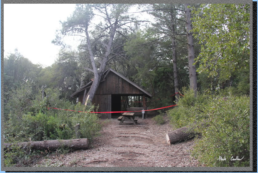
Unfortunately, one of the bigger trees fell directly on the inclement weather shelter. You can see the rangers have been out here and marked it as a no-go zone until the tree is removed and repairs are made. It looks like the shelter took the hit well and will likely only need minor repairs once the tree is removed.
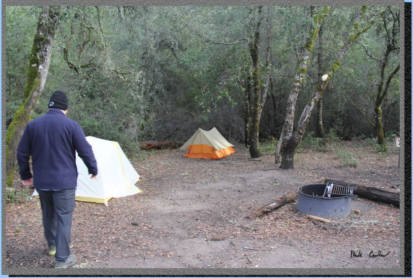
There was not another person camping that night and we headed back to camp for dinner. This site had space for 3 - 4 tents. You can see a couple in this shot.
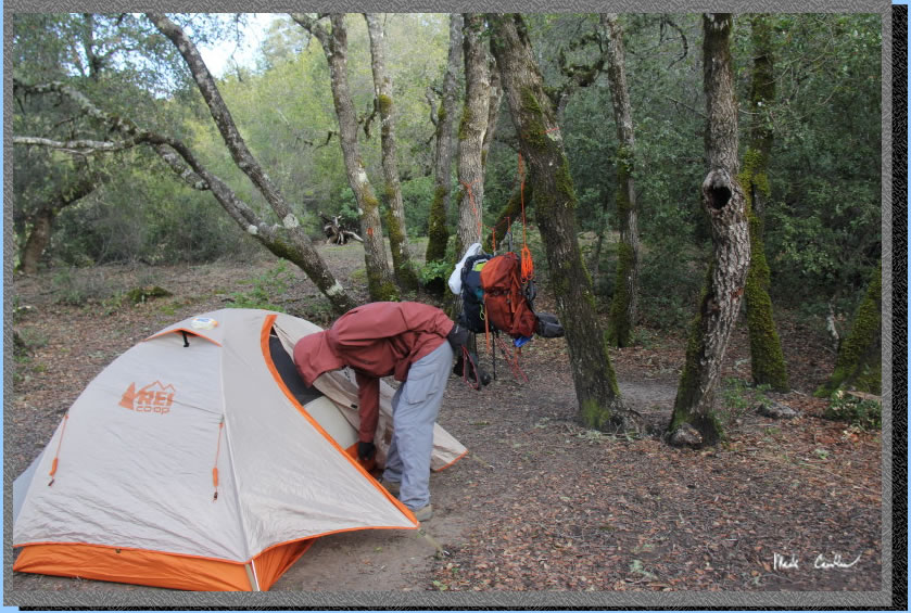
Here is the third tent with our packs hung behind. The wind picked up that night and the temperature dropped below freezing. Ice the next morning proved how cold it got.
Here is the frozen water encountered at camp the next morning. I was surprised with the amount of wind that the air temperature fell as much as it did.
We started out before nine. You can see from this shot that camp has plenty of trees still for shade. There is a storage shed for the rangers next to a smaller area for wood to buy. Unfortunately the last bundle of wood was too soaked to be used for fire. We did manage to have a fire that night since we packed in duraflame log. Hey, I figured on the wood being wet and Dan was willing to add another five pounds to his pack. I am not a big fan of fires, but it was nice to warm up by that night.
Here is Eric headed down the rock/creek to the bridge over the actual creek. We were worried about it being slippery, but the rocks seemed to have good traction even with the water flowing down the face of them.
We crossed the creek and decided that we would use the Ridge Trail on the way back to make this a semi-loop trip. Is is almost a loop because there is a section you repeat if you look at the map.
The way back is mainly up. Something that I probably should have made more clear to my fellow hikers that day before our route was selected. The trail is mainly covered with the sounds of distant gunfire still heard from the range.
The trail opens up to a great view to the west.
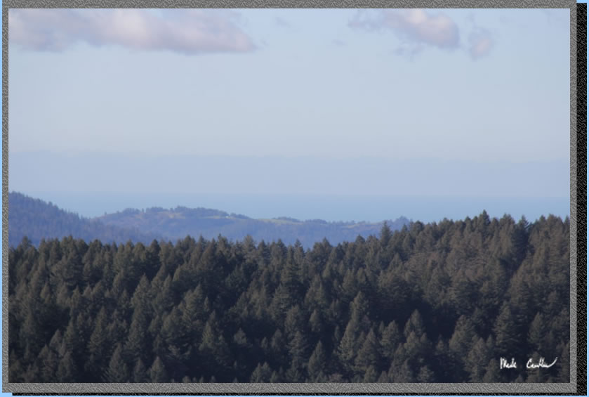
Here is a very crooked shot of the ocean in the distance.
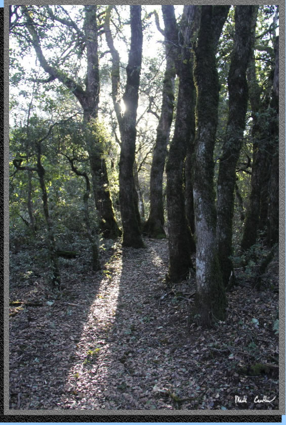
Continue up through the mostly covered trail. There was one section through here that had so many leaves it was hard to see where the trail was.
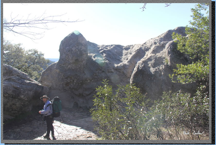
Continue past monkey head rock. Yes, that is the official name. You are about halfway to the car now. I would not recommend telling your group that as the uphill is not done.
Continue uphill and then down to the Interconnector Trail. Here is the downhill.
Here is Eric trying to convince us that we need to go downhill to get to the car. he is not technically wrong as both ways at this junction get you back to the trailhead. We decided to stick with the original plan and go straight up the hill on the Ridge Trail toward Goat Rock.
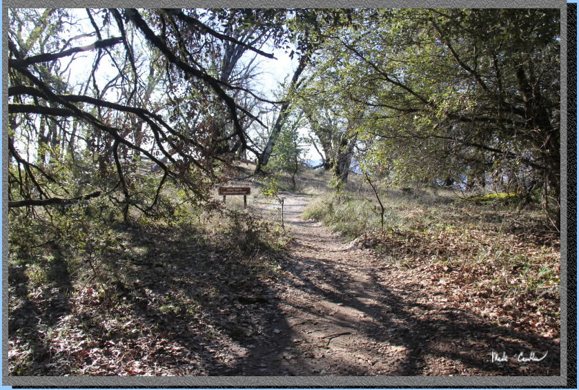
We ventured out to the Emily Smith Observation Point. I think it could use an Eagle Scout bench. But it was an average view, mainly because there are some great views on this trip.
Continue along the mostly covered trail. Here is the image to show you this section of trail. some piles of downed trees were piled up along the left side of the trail.
Make a right here to stay on the trail toward Goat Rock.
The trail narrows on the way to Goat Rock.
You eventually head down to Goat Rock. Here is the backside of Goat Rock. Continue around to the left down the stairs to stay on the trail.
Here is the front of Goat Rock once we went down the stairs. It usually will have some climbers on it. We saw a pair of climbers headed in on the trail shortly after this point with all the usual equipment.
Dan chose this spot to adjust his boot. He was about done when I noticed the large tree that was shading us.
Seemed a little rotten at the base. It may be best to travel through this section a little quicker next time.
We continued down the covered trail to the junction with Saratoga Gap Trail. You will start to hear the water before you see it. Here is Eric headed over the bridge and back up to the trailhead.
The creek seemed about as high as it did the day before. This trip was great and seeing the creek in all its glory was awesome. I have been out here in the rain before and you want to always be prepared for that possibility. When it rains in these hills it can get nasty fast. i would say besides being a little cold/windy this was nearly a perfect trip. Be sure to check this area out when the creek is flowing. See map/profile below.
GPS on this trip shows the trek from the car to camp (~3 miles) via Saratoga Gap Trail and return trip (2.7 miles) via Ridge Trail. Click on the map to see the larger version .
.
Day 1 - Car to camp via Saratoga Gap Trail.
Click on profiles to see full size.
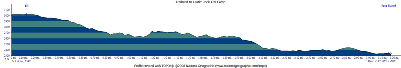
Day 2 - Camp to car via Ridge Trail.