


![]()
 Permit
- Permits can be obtained through www.recreation.gov
Permits must be picked up from the Bear
Valley Visitor Center (located at 1 Bear Valley Road Point Reyes
Station, CA 94956, 415-464-5100) on your way in. If you are arriving
outside of the visitor center's hours they will post permit outside
for you. Sites run $20 per site per night (up to 6 people per site)
Permit
- Permits can be obtained through www.recreation.gov
Permits must be picked up from the Bear
Valley Visitor Center (located at 1 Bear Valley Road Point Reyes
Station, CA 94956, 415-464-5100) on your way in. If you are arriving
outside of the visitor center's hours they will post permit outside
for you. Sites run $20 per site per night (up to 6 people per site)
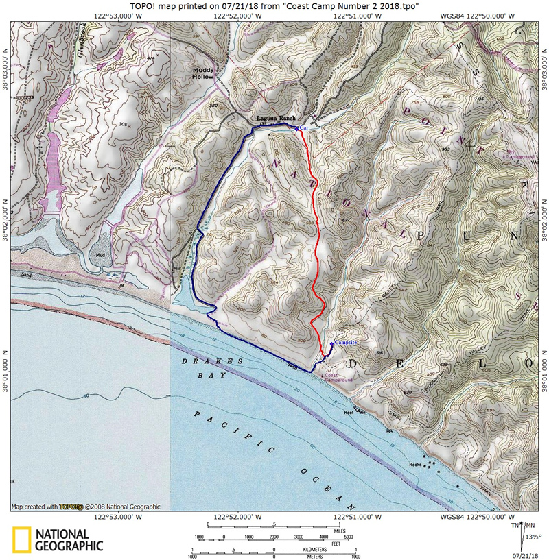
Mileage - Coast Camp is a short 3.1 miles each way via the Coast Trail or a really short 2.1 miles via the Laguna Trail/Fire Lane Trail. Or you can make this a 5.3 mile loop trip. We did the loop on this trip utilizing the Coast Trail and beach. See map/profiles below (from a previous trip).
Camps/Water - Coast Camp has 14 sites (some of them are group sites). Sites 1-7 are closest to beach access. Nice pit toilets are near sites 9 and 10. Each site has a metal locker, picnic bench and barbecue. Potable water faucets are provided near sites 8 and 12.
Hazards - Poison Oak, ravenous raccoons, Coast Dragon (use the locker for food storage), mice (can get in lockers at night, bring bear canister or steel wool to seal up holes/handle).
I booked a group
site as I thought when I booked this there may be quite a few of us
going (FYI you need to use
www.recreation.gov to book sites now).
As it turns out there were four of us (Randy, Giselle, Sarah, and me).
This is one of Sarah's favorite backpacking places and sharing the adventure
with a friend of made it a great trip. Sites here can book out way ahead
of time, especially in the summer. It is very popular with families
as the hike is easy. We checked in at the Visitor Center and obtained
our permit for parking/camping and picked up a fire permit in case we
wanted to brave the wind on the beach to have a fire (spoiler alert
- no fire). Getting to the trailhead is easy. After you leave the Bear
Valley Visitor Center take a left onto Limantour Road. Look for a sign
for the Hostel/Laguna Trailhead on the left. Take the left onto the
one lane road and you will see the Coast Trailhead on the right (just
before the Hostel on the left). Parking at Coast Trailhead is limited
(you must park off the roadway or you will get ticketed). We continued
on to park at the Laguna Trailhead down past the hostel on the right
(crossing a bridge to lot). On busy weekends you are likely not going
to get a spot at the Coast Trailhead. If no parking is available drive
further down the road to the dirt overflow lot just before the entrance
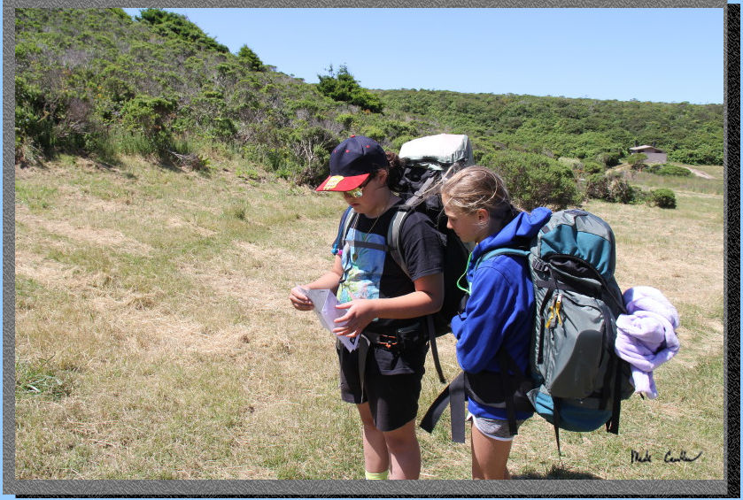
to the Laguna Trailhead parking lot. Here is Sarah and Giselle before
we left the trailhead. 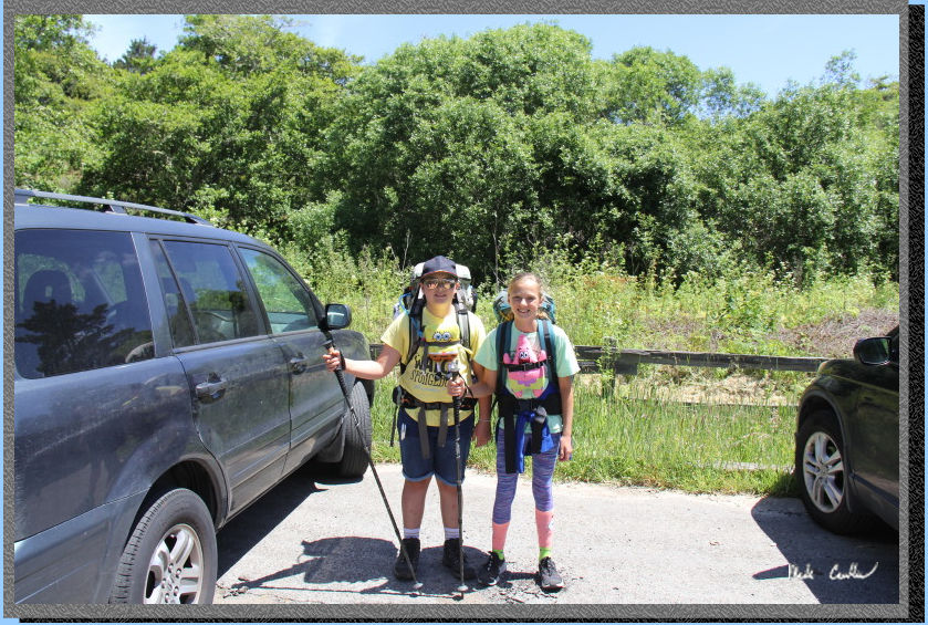
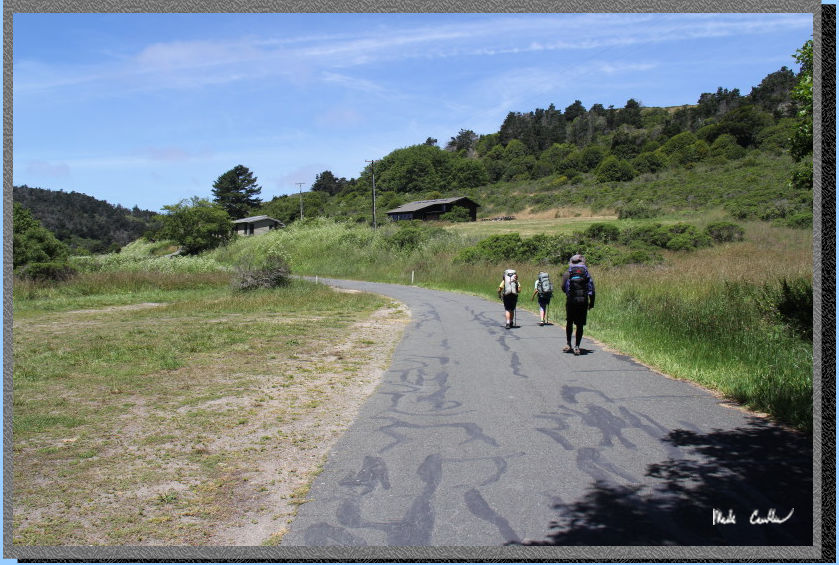
We decided to hike along
the road back to the Coast Trailhead. They had really trimmed things
back off the road and trail (it can get overgrown out here).
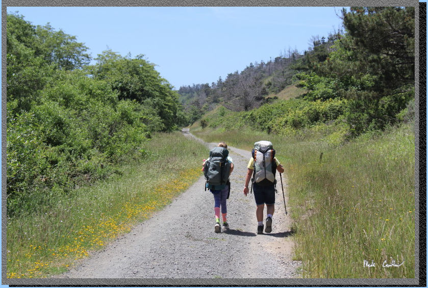
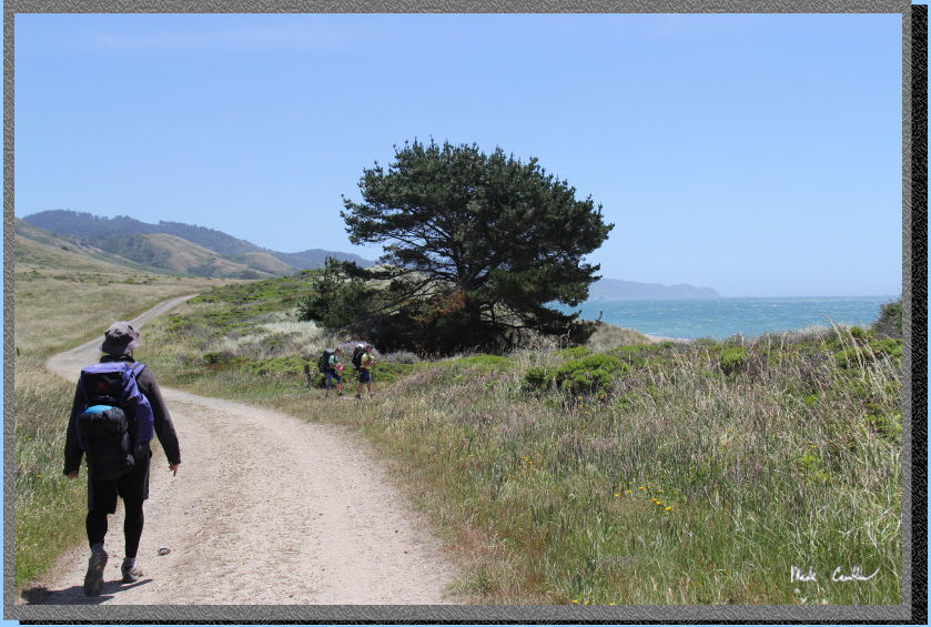
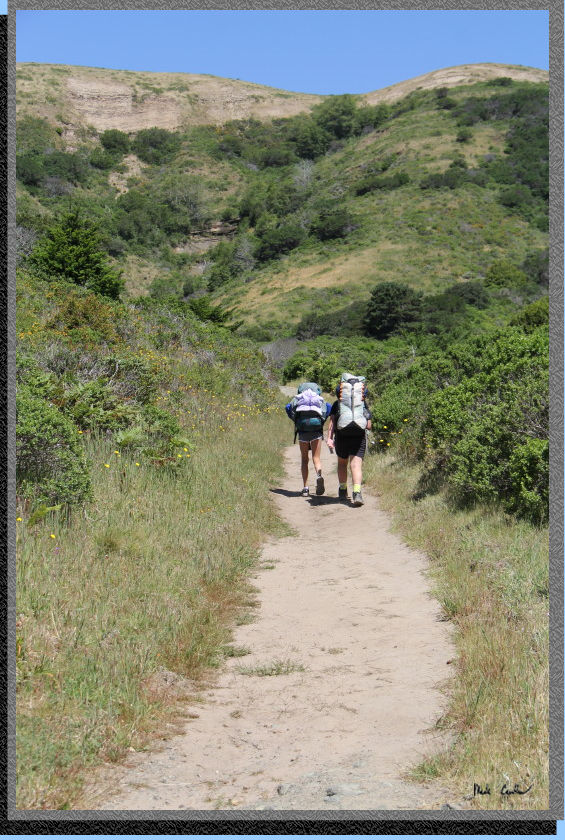
We quickly made it to the
official start of the trail. The trail is open and wide enough to drive
on. Here are Sarah and Giselle moving down the trail at a good clip.
The weather was cool, clear and breezy, great for backpacking.
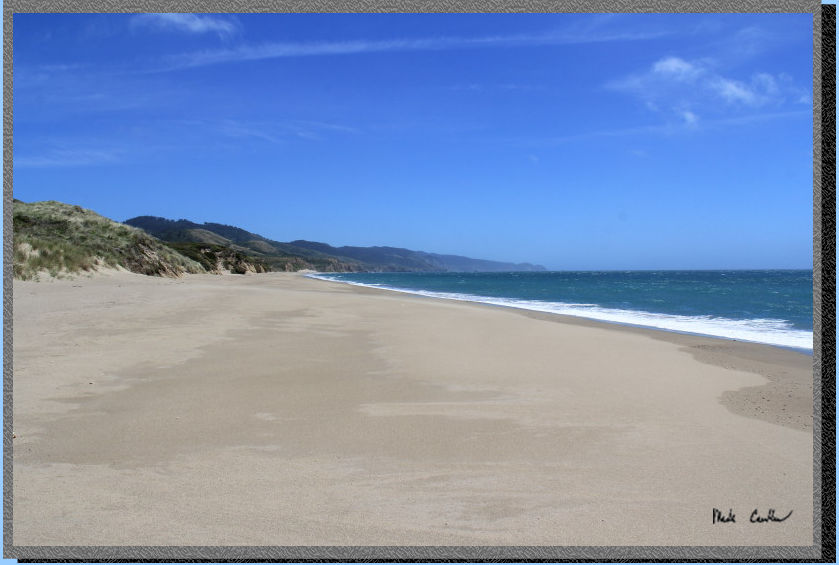
Before we knew it we were at the turn off for the beach. We decided
to stop and have lunch on the beach. You may be able to tell from the
picture that there was a bit of a breeze :-)
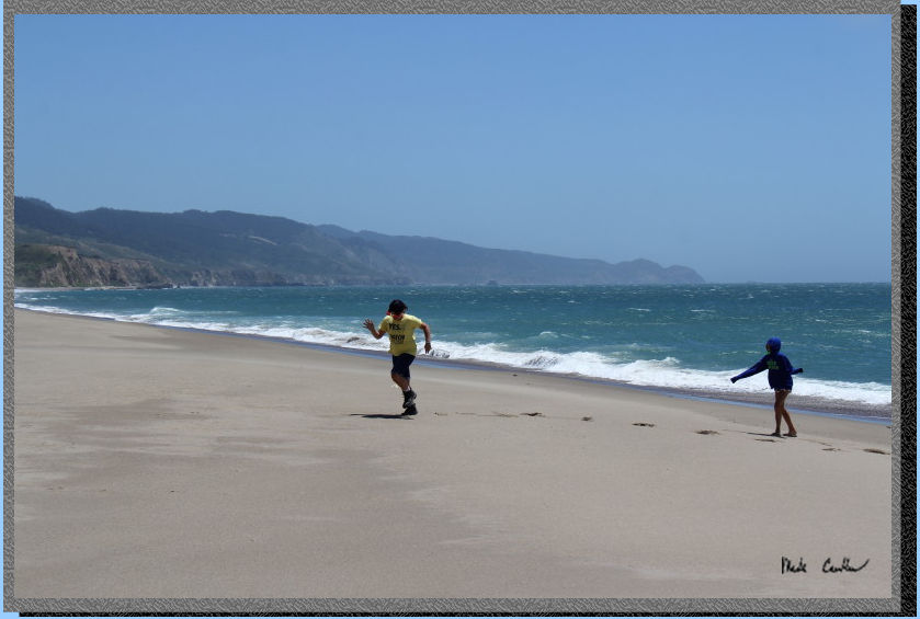
We had a quick lunch while
trying to keep the wind from blowing sand in your food/face. Sarah and
Giselle decided to run on the beach a little before we put the packs
back on. There was serious wind/whitecaps out there.
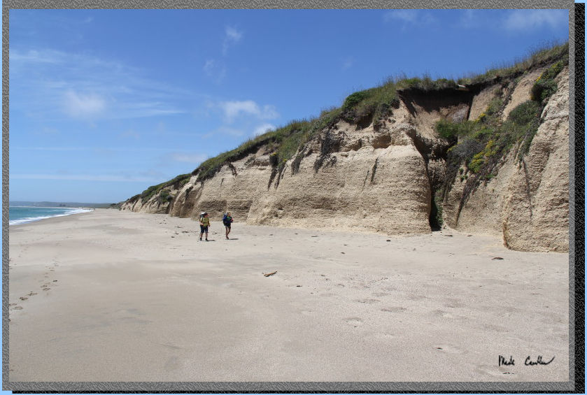
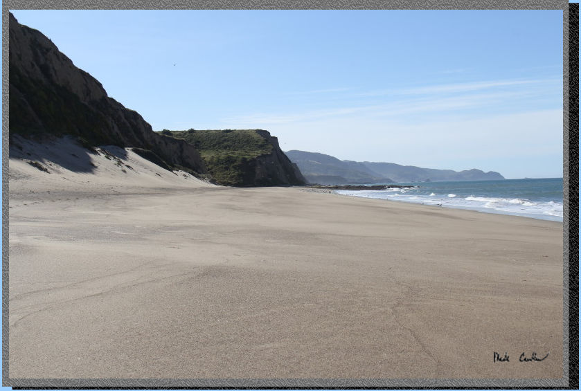
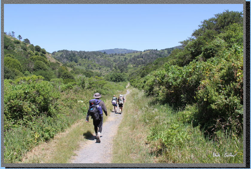
Here we are getting closer
to camp. You don't have to hike this way, but it seems we usually do
now on our trips. The other, less sandy, option is to use the Coast
Trail..
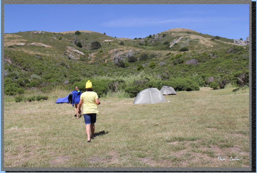
We made it to camp in record
time and commenced tent setup. The girls slept in my REI Quarterdome
(that I returned after this trip). Randy used my old Sierra Design one
man and I tried out my new Big Agnes Copper Spur HV UL 2 (not the most
wind proof). Brief gear geeking out - The Rei Quarterdome did well in
the wind but has too much mesh that catches too easily on velcro for
my liking. In the wind the dirt can blow up into the tent as well because
of the mainly mesh design and since the rainfly doesn't reach all the
way to ground. I also am a little suspect of how lightweight the groundsheet/tent
floor fabric is for the long term. The Copper Spur is not perfect either
though. In the wind the door section can collapse inward (if you pitch
it with a door into the wind). I ended up using a trekking pole to brace
it from the wind. It seems the best way to pitch the tent would be to
setup with either the head or foot side toward the wind (or setup somewhere
more sheltered). The extra guy outs helped stabilize things, but this
is not a "wind proof" tent. We had gale force winds come through
so it was a bit of a stress test. In the photo the one man is on the
left, Copper Spur in middle and Quarter Dome on the right.
Here is a shot of camp from above. You can only see two of our tents
in this shot (first two from bottom) but can see the double picnic tables
and food locker (hard to tell there are two back to back in this shot).
Site #13 is a double site so has two of everything. When we checked
in and let the ranger know it would only be four of us he rebooked us
into 13A, in case anyone came up the day of there would now be the other
half of this site (13B) available. As it turns out, no one took the
ranger up on that offer. Site #13 is the second to last site as you
hike in. The building on the left is the bathroom (two pit toilets).
There are trash receptacles and potable water near the bathroom (there
is also another water faucet closer to the beach access trail). .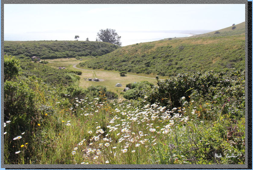
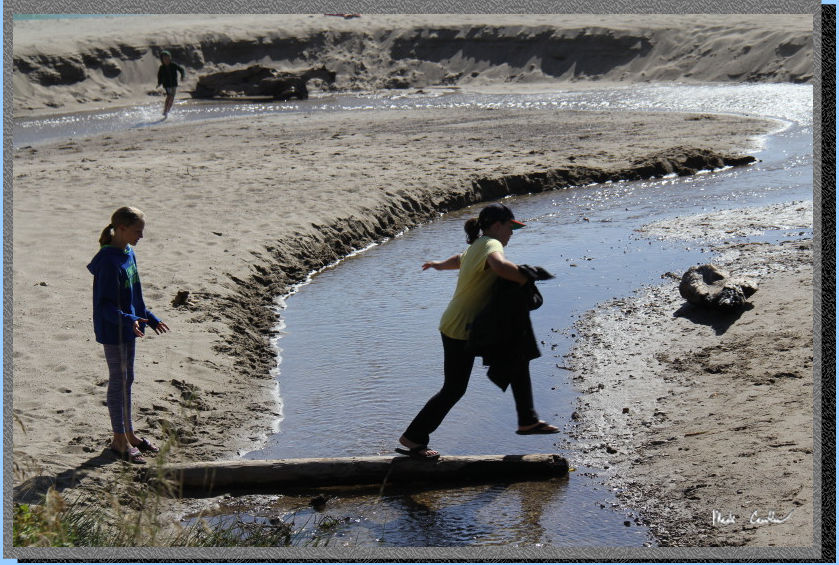
We decided (well the girls
mainly) to go out to the beach and see how getting sand blasted felt...
OK, maybe that wasn't the plan, but that is what happened. Here is the
stream crossing as you first access the beach.
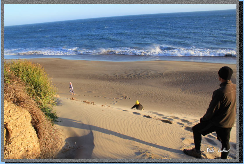
We goofed around on the beach a little. Here is a shot of the tumbling
down the hill. The wind was really blowing now, you can see some of
the sand and water moving in this shot.
After exploring the beach
some and having a good dinner/dessert we decided to hit the sack. The
wind and sound of surf made the idea of climbing into a sleeping bag
sound good. Not much for wildlife noises that night (except for some
coyote calls). We used some steel wool to block mouse access through
the handle to the bear locker. We also utilized bear canister and a
cookie tin to secure food in the locker should a sneaky mouse make it
into the locker somehow. On a previous trip I lost most of my food to
a sneaky mouse. Rangers are now recommending using bear canisters in
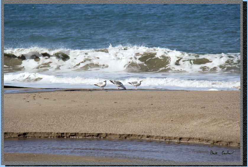
the lockers to secure food. The next morning we decided to explore the
beach before heading out. Here is one shot I grabbed of the seagulls.
Crowded shot of the beach
that morning... Not as much wind, but still breezy.
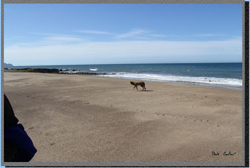
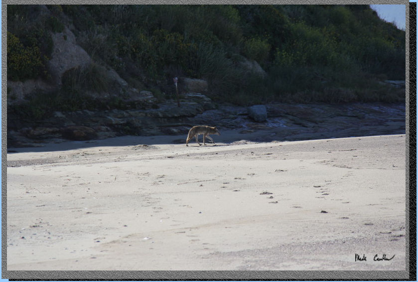
I snapped this quick shot
of a coyote on a morning stroll near us. He walked right by us and gave
an inquisitive glance toward the girls without breaking stride.
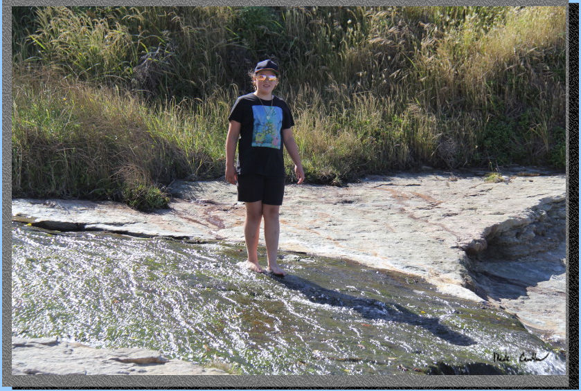
There are a few sections
of beach where water is still flowing into the ocean. Here is Sarah
checking out the biggest of them.
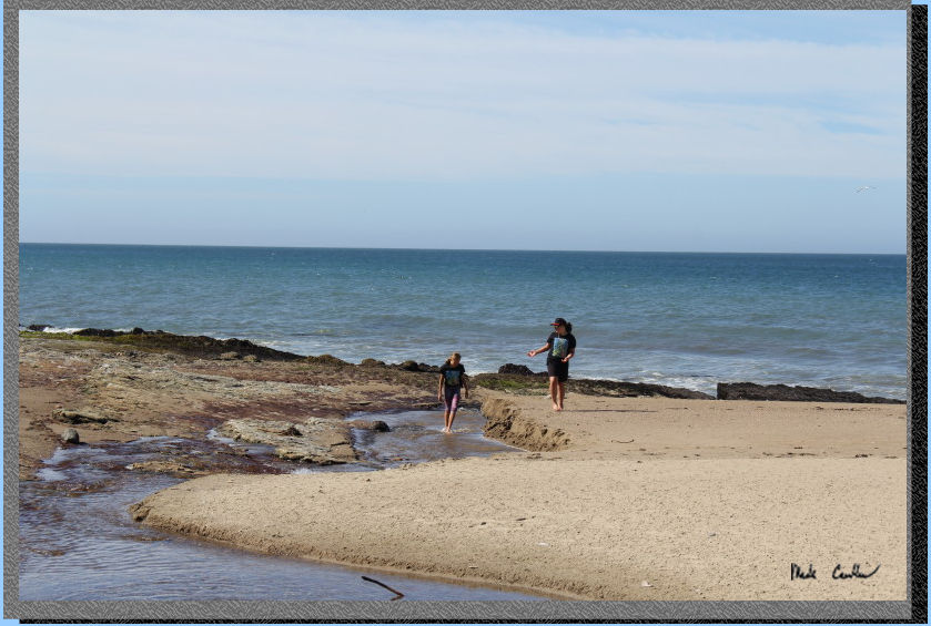
Here are both of them in
the same stream closer to the ocean.
Eventually we decided to
head back to camp and put on the packs. Here are the girls ready to
head out. We decided to continue on our loop and utilize the Laguna
Trail on the way out.
This trail goes up and over
the hill, so not as easy on the knees/lungs as the Coast Trail we used
on the way in. Still rated easy though as it doesn't go that high. I
didn't grab to many shots on the way out. Here is one before the ascent
starts. This section of trail can have more Poison Oak, so keep an eye
out for it encroaching onto the trail.
Home stretch now. We had
ascended and went down the other side with the trailhead almost in sight
now.
This was another great trip
and proved why this place is so popular. I will leave you with a shot
of Mr. Coyote, or maybe Mrs., I didn't ask...
Scroll
down for map and elevation profile.
(Technically this
is the map/profile from a previous trip,
but it is 95% correct for this trip as well)
Blue line shows the
path we took from Laguna trailhead to Coast Camp #2 via Coast Trail
and beach.
Red line is hike out via the Laguna Trail on day two.
Elevation profiles below map
Click on map or profile for larger version.
.
(back to top)
Elevation
profile below shows Coast Trailhead to Coast Camp #2 via Coast Trail
and beach. 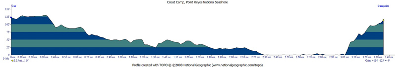
(back
to top)
Elevation
profile below shows Coast Camp #2 to Laguna (and then Coast) Trailhead
via Laguna Trail.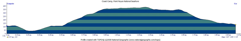
(Back
to top)