


![]()
 Permit
- Permits can be obtained through www.recreation.gov
Covid has changed things though. Now you can just print your email confirmation to use as both your parking pass and the permit. Permits used to be picked up from the Bear
Valley Visitor Center (located at 1 Bear Valley Road Point Reyes
Station, CA 94956, 415-464-5100). Sites run $20 per site per night (up to 6 people per site)
Permit
- Permits can be obtained through www.recreation.gov
Covid has changed things though. Now you can just print your email confirmation to use as both your parking pass and the permit. Permits used to be picked up from the Bear
Valley Visitor Center (located at 1 Bear Valley Road Point Reyes
Station, CA 94956, 415-464-5100). Sites run $20 per site per night (up to 6 people per site)
Mileage - Coast Camp is a short 3.1 miles each way via the Coast Trail or a really short 2.1 miles via the Laguna Trail/Fire Lane Trail. Or you can make this a 5.3 mile loop trip. We did the loop on this trip. See map/profiles below.
Camps/Water - Coast Camp has 14 sites (some of them are group sites). Sites 1-7 are closest to beach access. Nice pit toilets are near sites 9 and 10. Each site has a metal locker, picnic bench and barbecue. Potable water faucets are provided near sites 8 and 12.
Hazards - Poison Oak, ravenous raccoons, Coast Dragon (use the locker for food storage), mice (can get in lockers at night, bring bear canister or steel wool to seal up holes/handle).
Sarah and I booked Coast Camp site #2.
This is one of Sarah's favorite backpacking places, and mine too. Sites here can book out way ahead
of time, especially in the summer. It is very popular with families
as the hike is easy. We went by the Visitor Center for a bio break (you do not have to go get your permit here, print it out at home). Getting to the trailhead is easy. After you leave the Bear
Valley Visitor Center take a left onto Limantour Road. Look for a sign
for the Hostel/Laguna Trailhead on the left. Take the left onto the
one lane road and you will see the Coast Trailhead on the right (just
before the Hostel on the left). Parking at Coast Trailhead is limited
(you must park off the roadway or you will get ticketed). We continued
on to park at the Laguna Trailhead down past the hostel on the right
(crossing a bridge to lot). On busy weekends you are likely not going
to get a spot at the Coast Trailhead. If no parking is available drive
further down the road to the dirt overflow lot just before the entrance
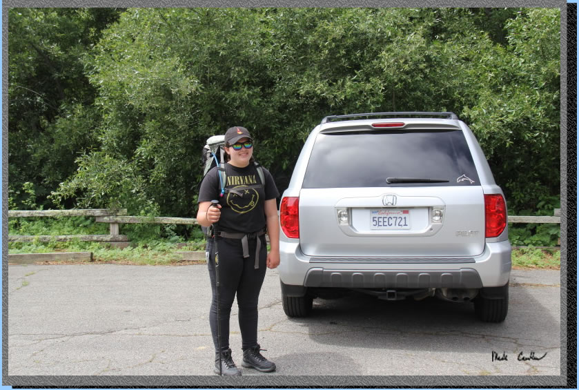
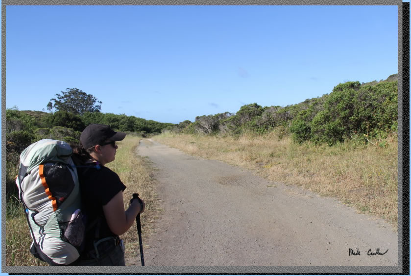
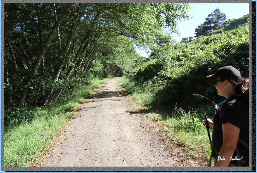
to the Laguna Trailhead parking lot. Here is Sarah before
we left the trailhead.
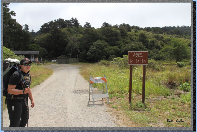
There is no water or facilities at the Laguna Trailhead. Be sure to utilize the water/bathrooms/trash at the Bear Valley Visitor Center prior to getting to the trailhead. The buildings are accommodations for park employees. The trail (the Laguna Trail) takes a quick right here and starts to head up.
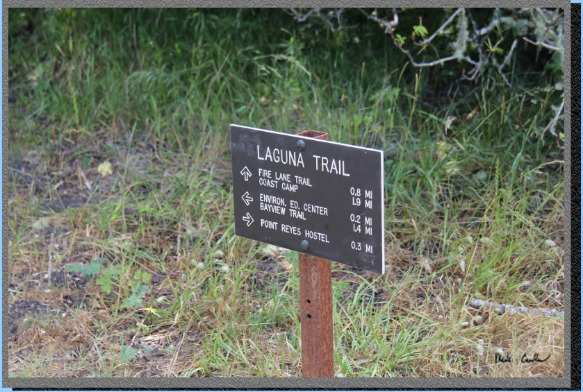
You will quickly make it to the first trail marker. It is less than two miles to camp this way. If you turn around and head back out to the road you will see the Point Reyes Hostel that you passed on the way to the parking lot. I have yet to talk anyone into heading to the Environmental Education Center (it may take a solo trip out here to see that).
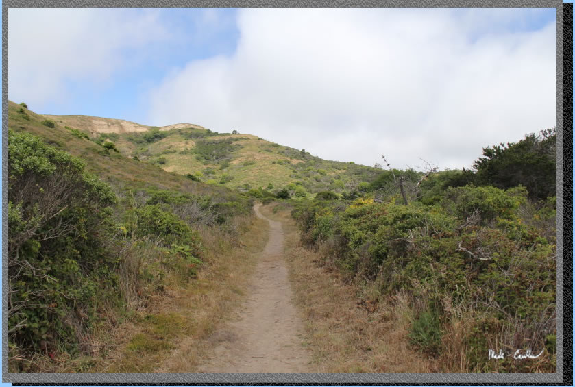
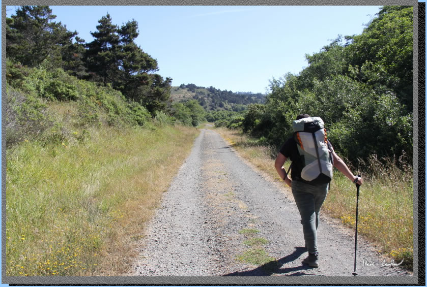
The trail is open and headed up, as shown in this shot. I have done this trail a few times now and I did more looking than shooting, sorry.
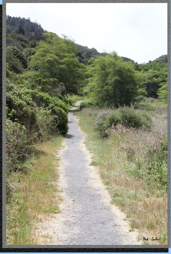
The trail seems to be in good shape with foliage trimmed back. There are some flowering plants along the way. Weather was great with the sun starting to come out..
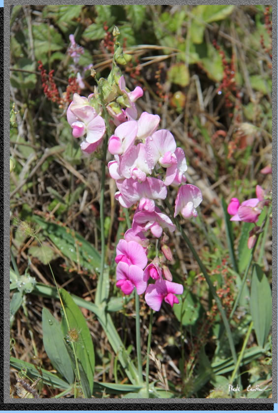
Flower shot, see I wasn't kidding.
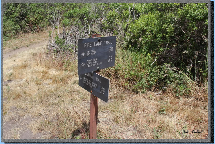
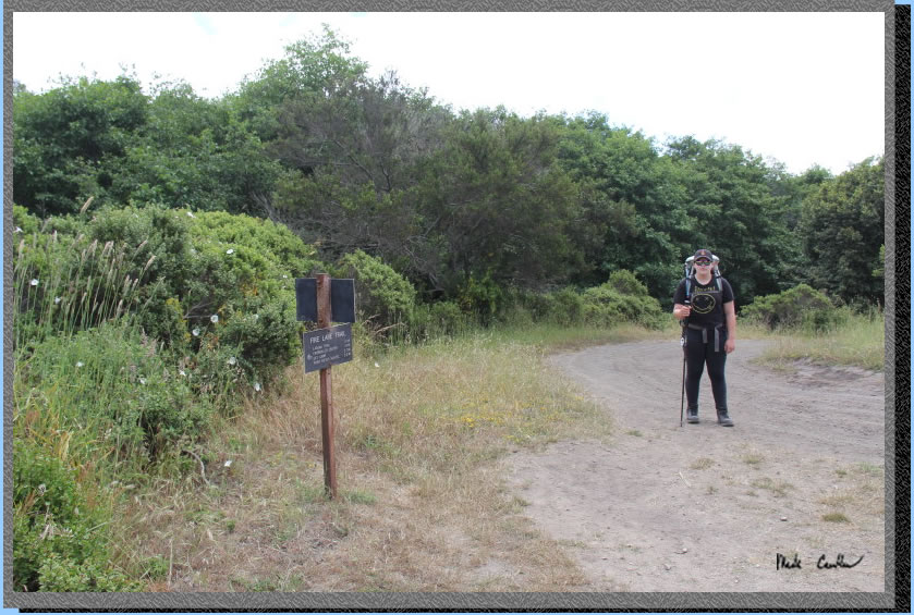
The next junction is with Sky Camp. Sky Camp is closed, indefinitely per rangers. It sounds like the fire from last year did a number on the area. Continue straight onto the Fire Lane Trail towards the Coast Trail and Coast Camp. See the names out here make sense!
Looking up towards Sky Camp. Never made it to this camp... Hopefully I live long enough to see how long indefinitely is out here.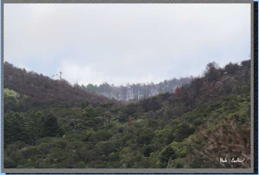
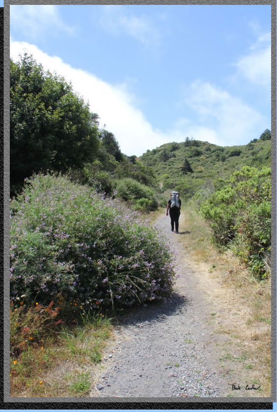
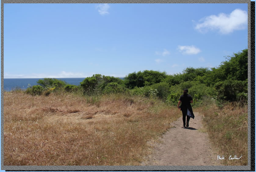
This shot was taken after the up and over and headed down to the Coast Trail. I was looking back toward the Laguna Trail, north.
Here we are at the junction with the Coast Trail. You do a quick slightly down past Sarah and then slightly up to Coast Camp.
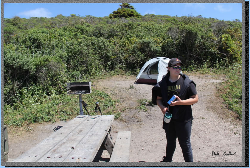
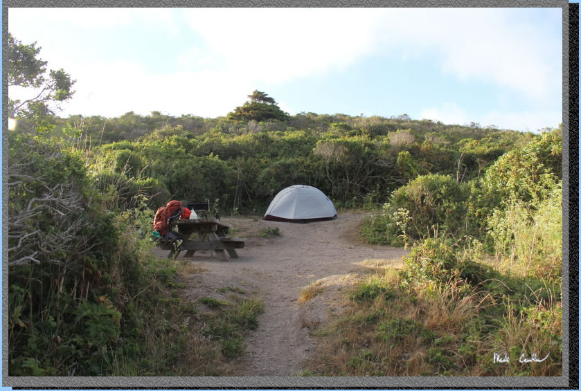
Sarah took this picture of me unpacking things to make camp. We camped at site #2 that had two spots for tents. Neither of which were what I would call great. Both would work though for the average backpacking two person tent. 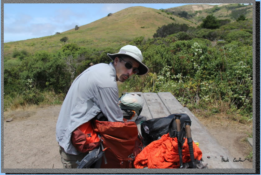
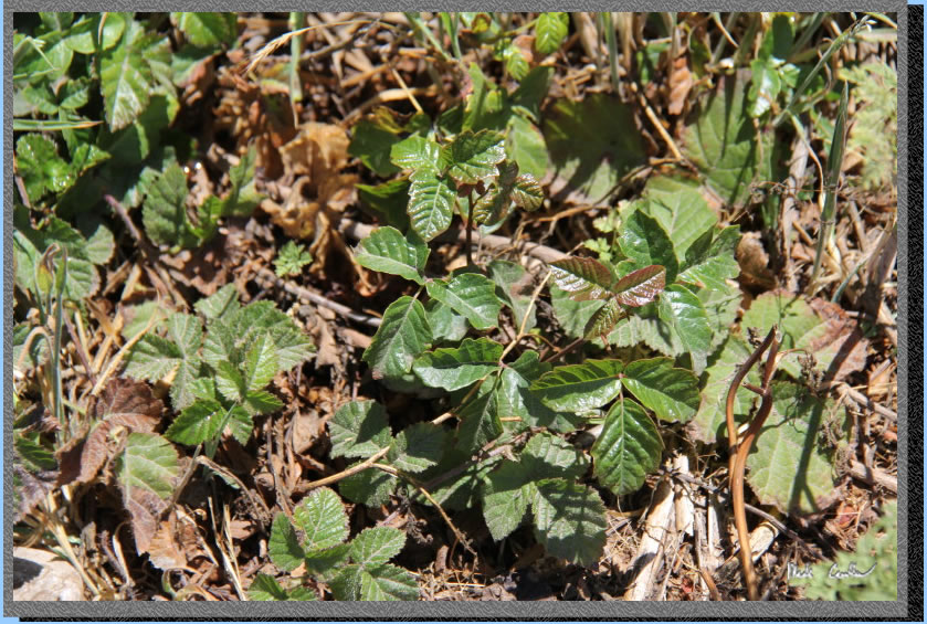
Be careful around camp - leaves of three let them be.
There are some partial ocean views from the first few sites at Coast Camp. I am standing to capture this shot.
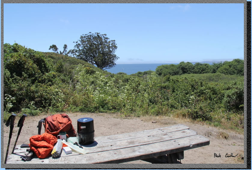
I brought my newer half dome two plus on this trip. It works well for two people. There is a food locker, picnic table, and BBQ setup at each site.
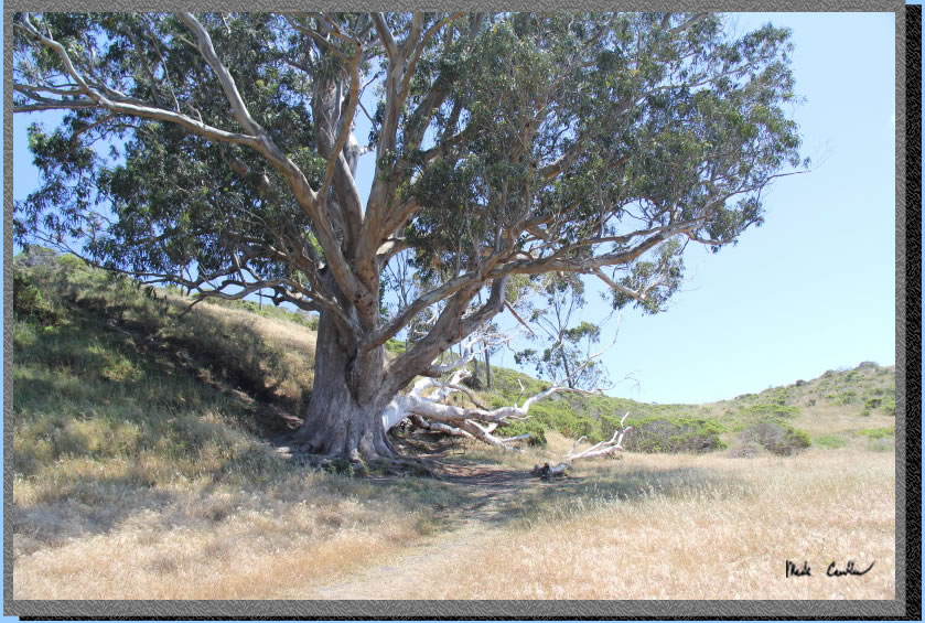
We setup camp and headed down to the beach. Here is the big tree with a swing setup. The swing should not be relied upon. I have seen it missing from the tree as much as it is attached to the tree.
Here is Sarah headed past the tree on the way to the beach.
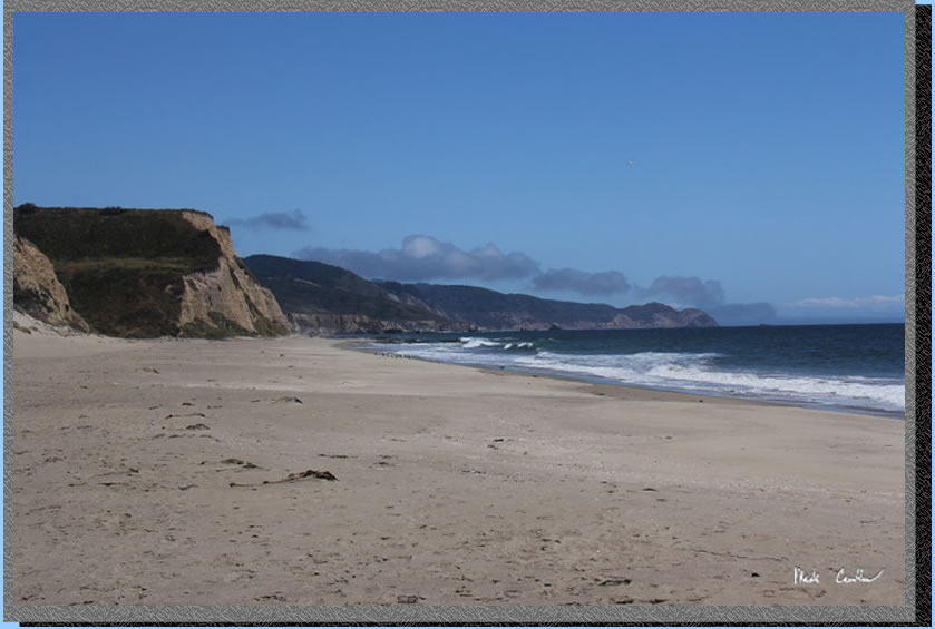
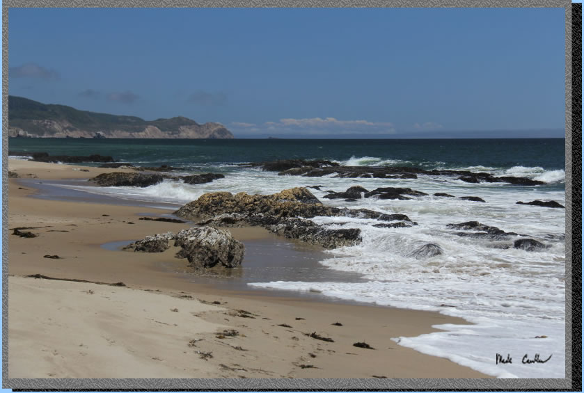
It was a glorious day out at the beach.
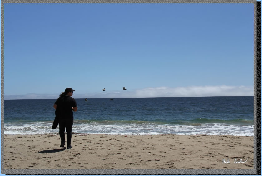
Not a bad beach.
We explored the beach a little and found this bird washing station...
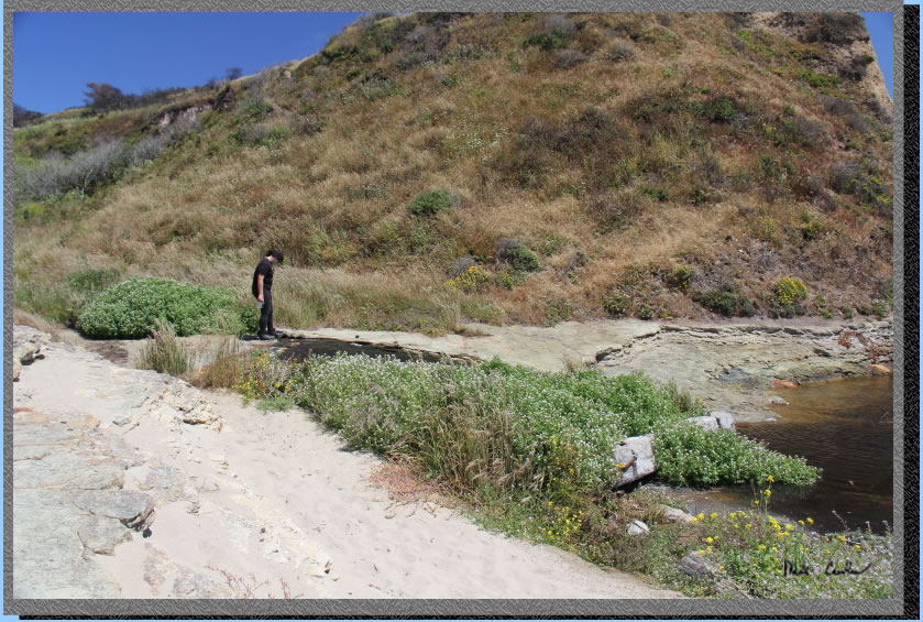
The birds would take turns going in and flapping like crazy and then park it on the sand to dry off some.
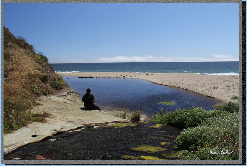
Eventually we started to head back to camp.
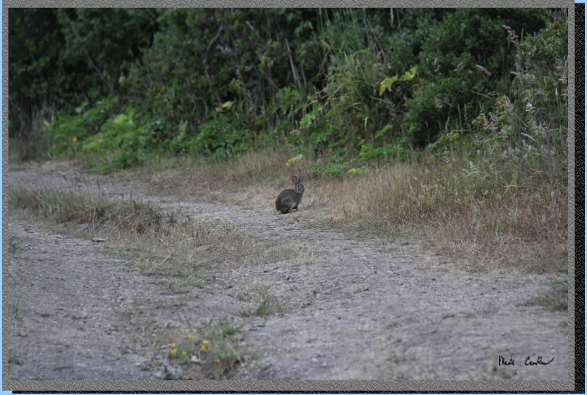
Here are some hoppy creatures around camp.
The fog came in some that night and made it cold enough to get into a sleeping bag, which is always nice. We decided to make it an early start to beat the heat forecast that day.
Here is Sarah shaking the boots out.
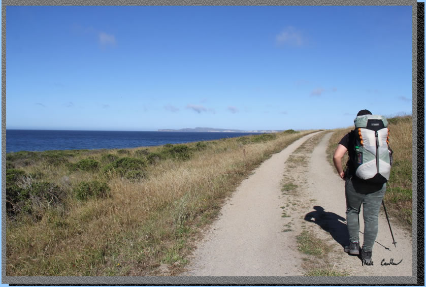
Sarah wanted to head back on the Coast Trail. Here we are after the junction with the Fire Lane Trail.
The view along the Coast Trail with Drakes beach in the distance.
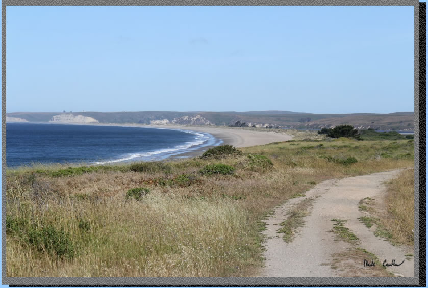
You get a nice view of Limantour Beach before the trail turns inland. There is no cover on the previous section of trail , and limited on the next section.
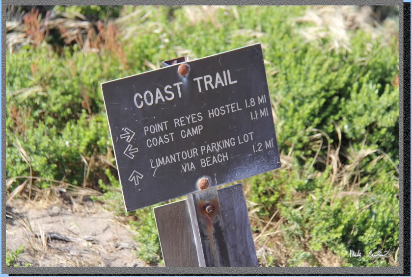
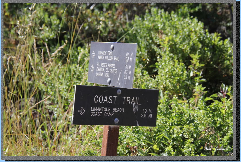
Last trail junction of the trip shows you can head to Limantour Beach via the beach or continue on trail to the Coast Trailhead, almost across the street from the Point Reyes Hostel.
This is the trail when it turns inland. There is some tree cover through here. The downside is the coastal wind gets blocked some by the trees.
Headed slightly up to the hostel now.
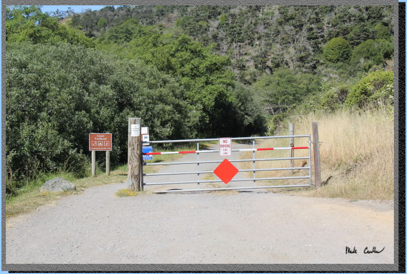
Here is the view as you approach the Coast Trailhead.
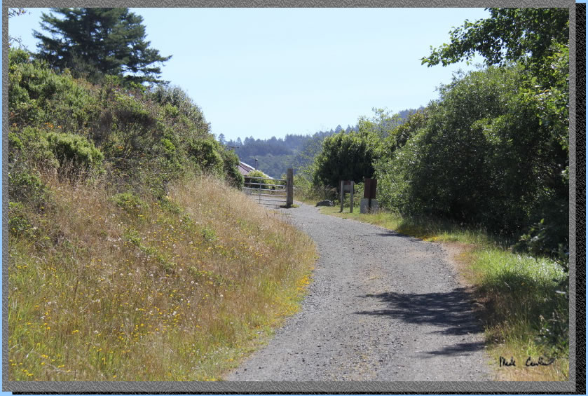
Here is the picture of the Coast Trailhead from the road looking south.
We walked along the road (past the hostel) to the Laguna Trailhead parking lot where our car was to complete the loop. This was another great trip. You can't really go wrong with a backpacking trip to the beach.
Scroll
down for map and elevation profile.
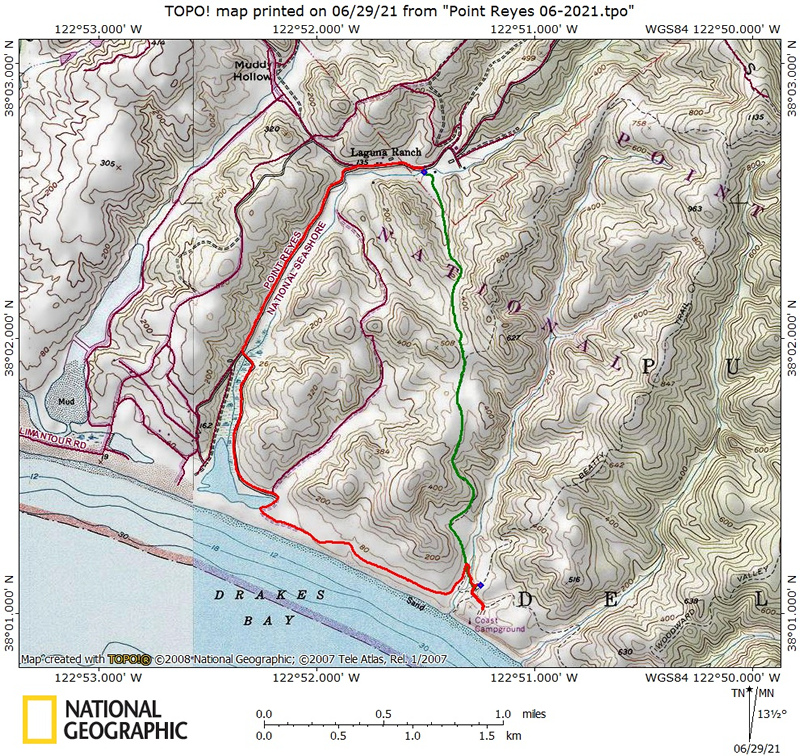
Green
line shows the path we took from Laguna trailhead to Coast Camp #2 via
Laguna/Fire Lane Trail (up and over the hill).
Red line is hike out via the Coast Trail on day two.
Elevation profiles below map
Click on map or profile for larger version.
.
(back to top)
Elevation
profile below shows Laguna Trailhead to Coast Camp #2 via Laguna/Fire Lane Trail.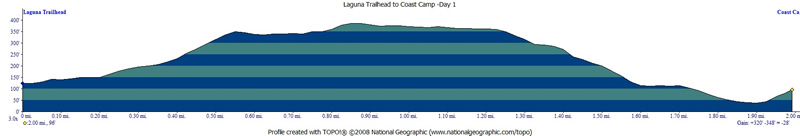
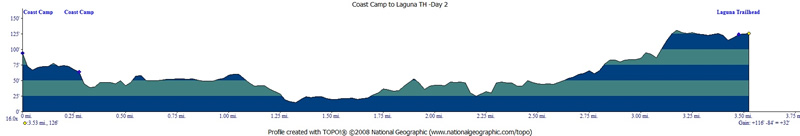
Elevation
profile below shows Coast Camp #2 to Laguna Trailhead via Coast Trail (be sure to look at scale on the left on the profile below).
(Back
to top)