


![]()
 Permit
- Permits can be obtained through www.reserveamerica.com.
Permits used to be picked up from the Bear
Valley Visitor Center (located at 1 Bear Valley Road Point Reyes
Station, CA 94956, 415-464-5100). Covid has changed things though. Now you can just print your email confirmation to use as both your parking pass and the permit. Sites
run $20 per site per night (up to 6 per site). There are also a few
group sites with prices starting at $40 per night (7-14 per site).
Permit
- Permits can be obtained through www.reserveamerica.com.
Permits used to be picked up from the Bear
Valley Visitor Center (located at 1 Bear Valley Road Point Reyes
Station, CA 94956, 415-464-5100). Covid has changed things though. Now you can just print your email confirmation to use as both your parking pass and the permit. Sites
run $20 per site per night (up to 6 per site). There are also a few
group sites with prices starting at $40 per night (7-14 per site).
Mileage - Wildcat Camp is approximately 5.8 miles each way from the Palomarin Trailhead (see map and profile below). Fire damage has closed the trail from the Bear Visitor Center. Alamere Falls is another mile from camp, each way. You must know when high tide is before setting off on this hike, or you could get trapped against cliffs by waves (not good)
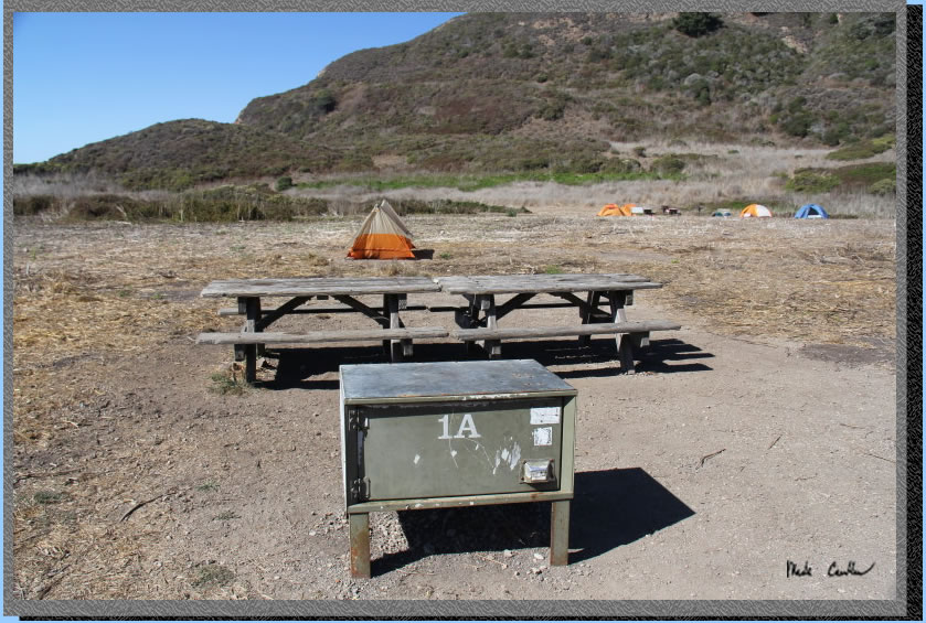
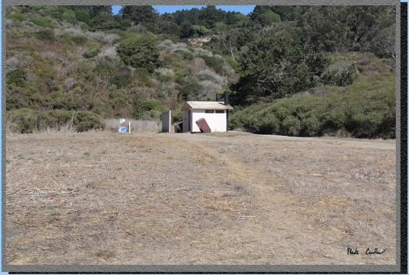
Camps/Water - Wildcat Camp has 7 sites (three of them are group sites). Sites 6 & 7 are closest to ocean. Nice pit toilets are near site 2 (yes, some can be nice). Each site has a metal locker, picnic bench and barbecue (group sites have 2 of each). A potable water faucet is provided near site 2. There are also trash/recycle receptacles.
Hazards - High tide, Poison Oak, MICE, and ravenous raccoons (use the locker and a bear canister in the locker). The raccoons actually haven't bothered me out here a few trips in a row now, but the mice will get in the lockers and eat stuff. Rangers currently recommend bear canisters.
The pandemic and fires put a damper on many things, including backpacking. Many popular overnight destinations were closed, even once you were allowed to venture out again. I
decided to go on this trip to Wildcat Camp by myself. Be aware that the trail from the Bear Valley Visitor Center to Wildcat Camp is closed until further notice due to fire damage. I have done this trip a few times now (2019, 2018,
2015 and 2003),
usually from the Palomarin trailhead. Use the links to view the old
trip descriptions. To get to the trailhead from the Bear Valley Visitor Center travel south on Highway
1 for about 25 minutes. Look for a wooden sign that says "Dog Town"
in a Eucalyptus grove and then make your next right at HorseShoe Hill
Road (it sneaks up on you, so if you miss it just take your next right
onto Olema-Bolinas Road, it will get you there too, and then make a
left onto Horseshoe Hill Rd when you dead end into it). You will make
another right from Horseshoe Hill Road onto Mesa Road at a three-way
stop (up the hill in another Eucalyptus grove). Stay on Mesa Road now
past the fire station, and then past the Coast Guard communications
station. The road is gravel for the last 1.2 miles to the Palomarin
Trailhead. It is not rough but not very wide. Eventually you end up at the trailhead. 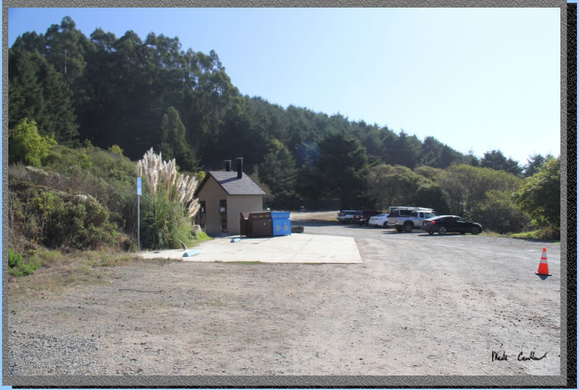
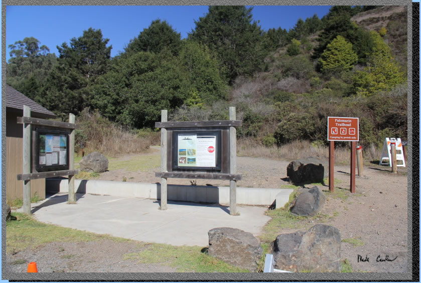
The trailhead has pit toilets and trash cans. There is no water here so plan ahead. Parking can get crowded on busy weekends and I have seen a ranger out here several times making sure you have a permit and also park correctly.
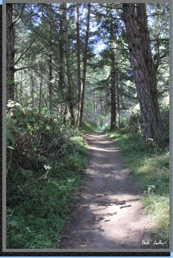
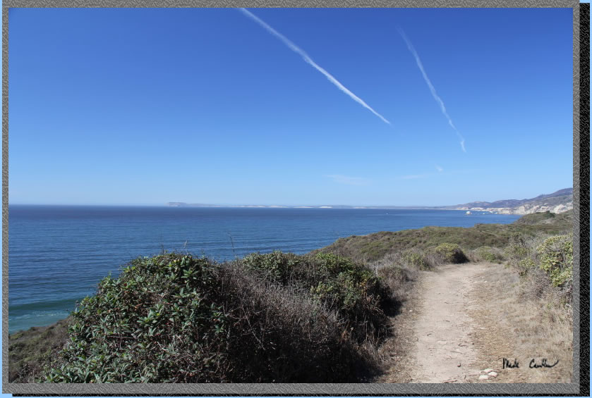
The trail starts in the shade of some Eucalyptus trees. You take a short uphill section to views of the Pacific Ocean..
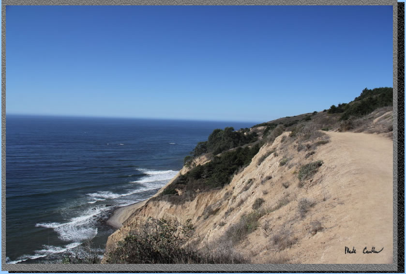
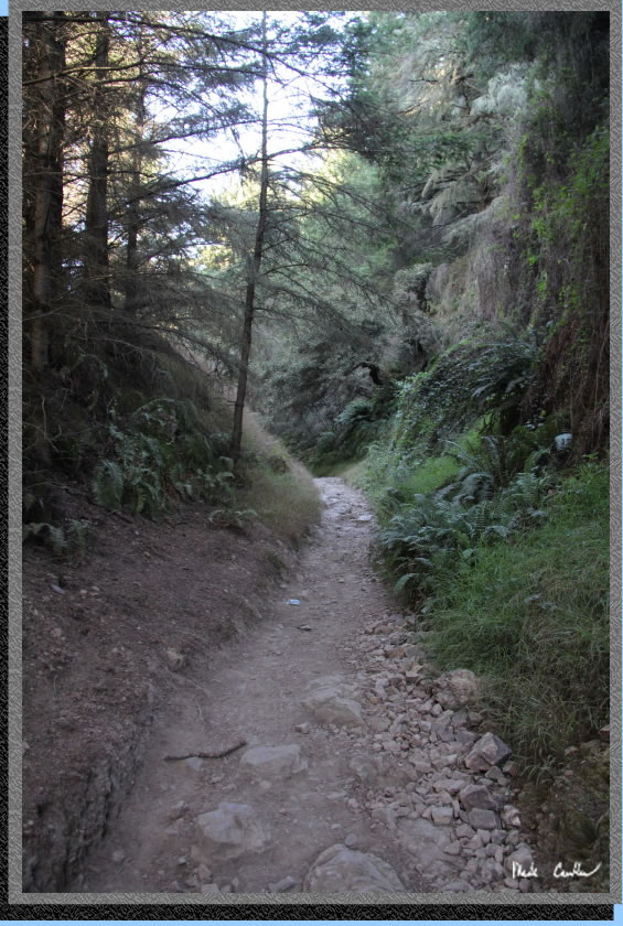
Eventually the trail breaks inland and you will likely feel like you are headed in the wrong direction (if you pay attention to that sort of thing). You will travel through "Cold Canyon". Not the official name of this cool area with ferns and neat rocks. However, you should enjoy the cool air through hear as the next section heats up.
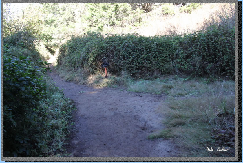
Here is the junction with Lake Ridge Trail. You head left here.
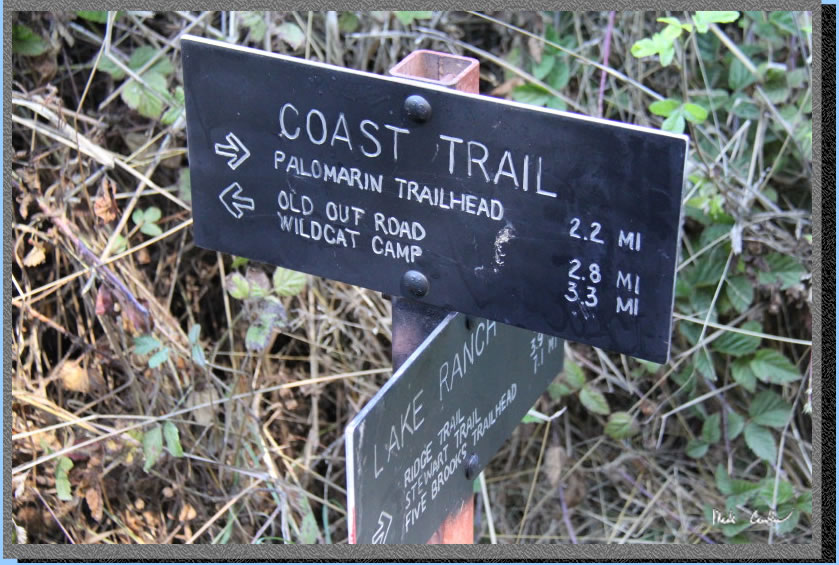
Here is the sign close up. The mileage to Wildcat Camp says 3.3 but my GPD clocked it at 3.53. Pretty close though. Continue past this junction on the mainly covered trail to Bass Lake on the left.
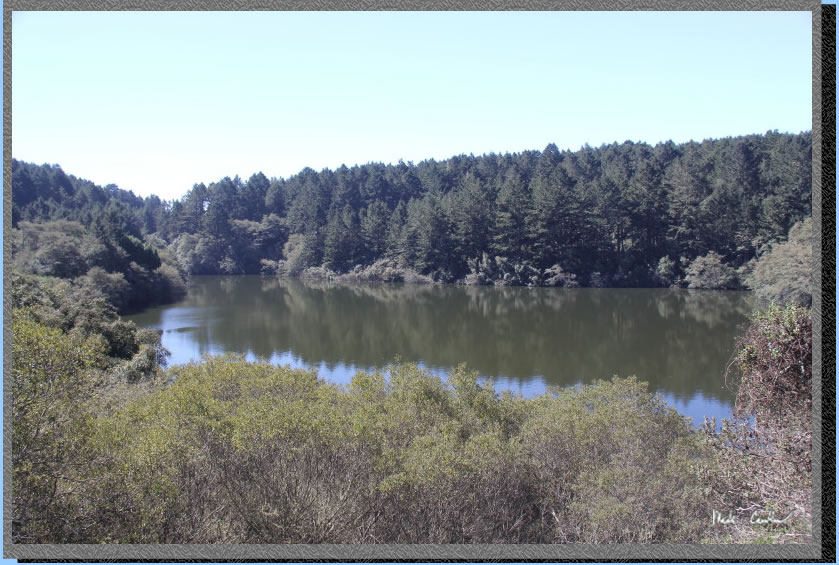
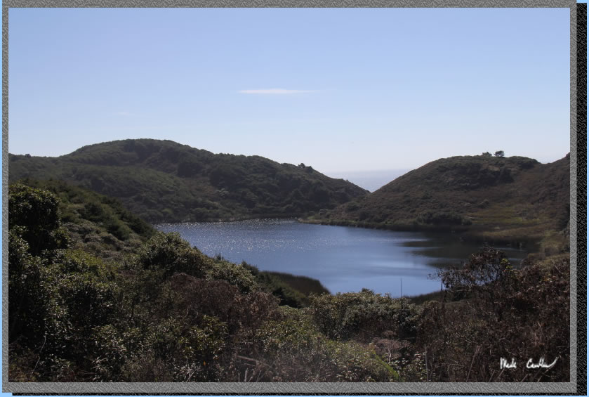
Bass Lake. I heard a large group out at the lake but never saw them. There is a spur trail you pass that appears to access the lake. The trail continues uphill past Bass Lake. Trail is wider and covered again before it goes slightly down to next lake.
Here is the covered uphill section. Nothing too steep.
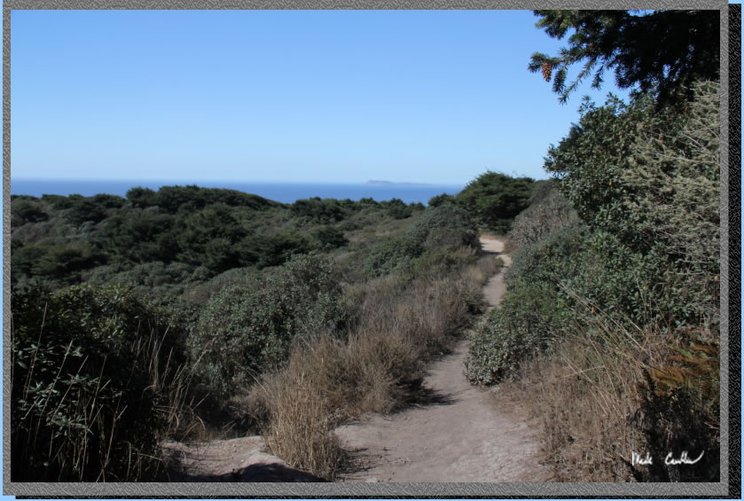
Here is the slightly down, exposed part with ocean views.
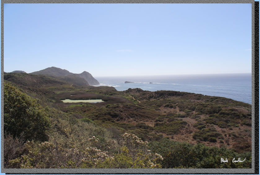
You will quickly make it to the next lake on the left. Don't forget to look left or you will miss Pelican Lake. The trail opens up again before heading downhill through covered dark (and scary) forest.
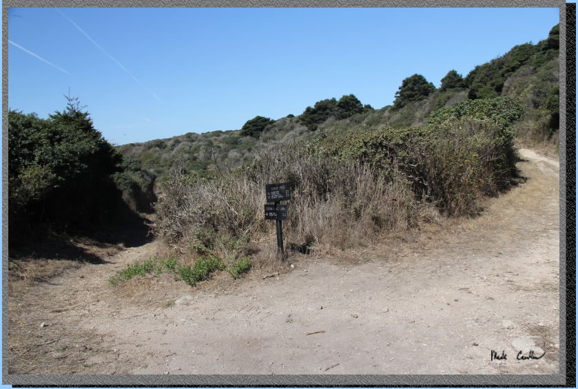
The picture below is not of the dark and scary forest. You might be thinking, hey Mark, what gives? You promised a dark and scary forest. Well, some things you have to experience in person. (Or you can look through some older trip descriptions, since I forgot to take a picture of the dark and scary forest this time.) After the dark and scary forest the trail opens up again and is more rocky. You will next find yourself at a crossroads. You will have the decision to go left and get to Wildcat Camp or take a right and get to Wildcat Camp. I went left and used the Ocean Lake loop. I recommend doing the Ocean Lake loop for the better views on at least one leg of your trip.
It is about 1.4 miles to camp now on the Ocean Lakes Loop. You eventually head uphill to killer ocean views before heading downhill past Yellowjacket nest. No, I did not stop and take a picture of the Yellowjackets. They seemed angry enough already. Here is the view of Drakes Bay to the north.
Here is the view to the south.
I zoomed in to Alamere Falls off in the distance.
After you take too many pictures you will head down the to this junction with Coast Trail and head left again. You only have 0.2 miles left per the sign. I did not check it, but probably correct. The trail is down to camp.
Here I am at sire 1A. If you look back at some of older trip descriptions out here you can tell this time the wild mustard is no more. Everything is mowed down so you can see the other sites. Well not everything, but it is much more open than in years past. I chatted with a couple people on horses. They were staying at Five Brooks and had seen the fire damaged areas, from a distance. The warned me of white harbor seals at the nearby lakes. I guess not everyone brings a suit.
Potable water, pit toilets and trash receptacles are located a short distance from my campsite. I setup camp and stowed some gear I headed out to Alamere Falls.
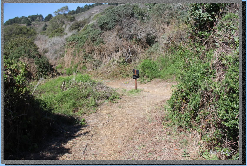
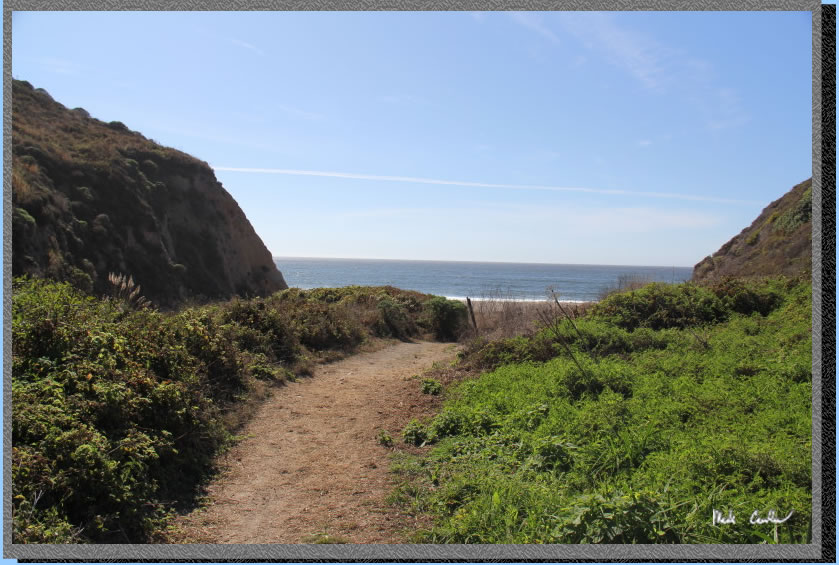
Trail access is nice and easy from camp.
The weather was perfect with a slight breeze to keep you cool. There were many people out near the falls, but not many on the way. 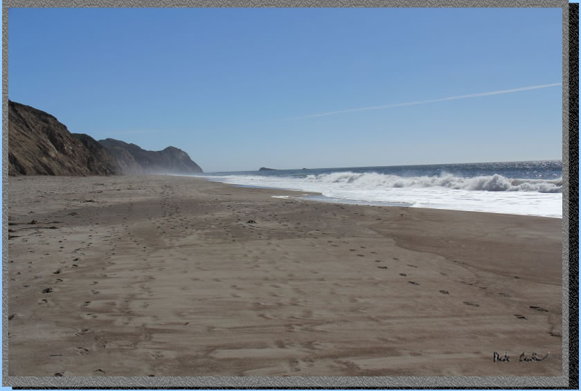
Just a few pelicans were out and about.
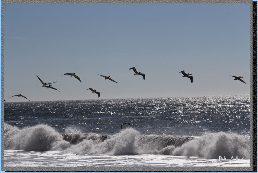
Closer now.
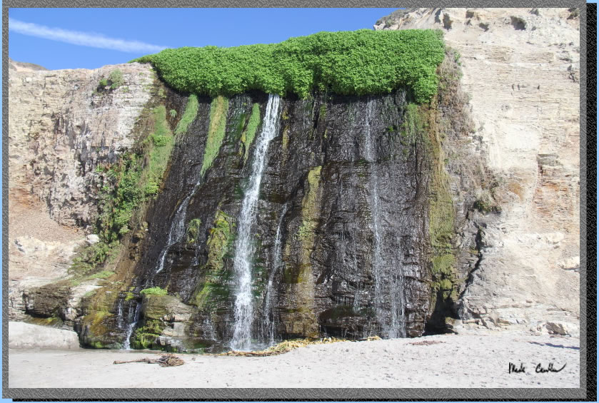
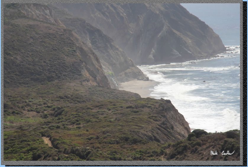
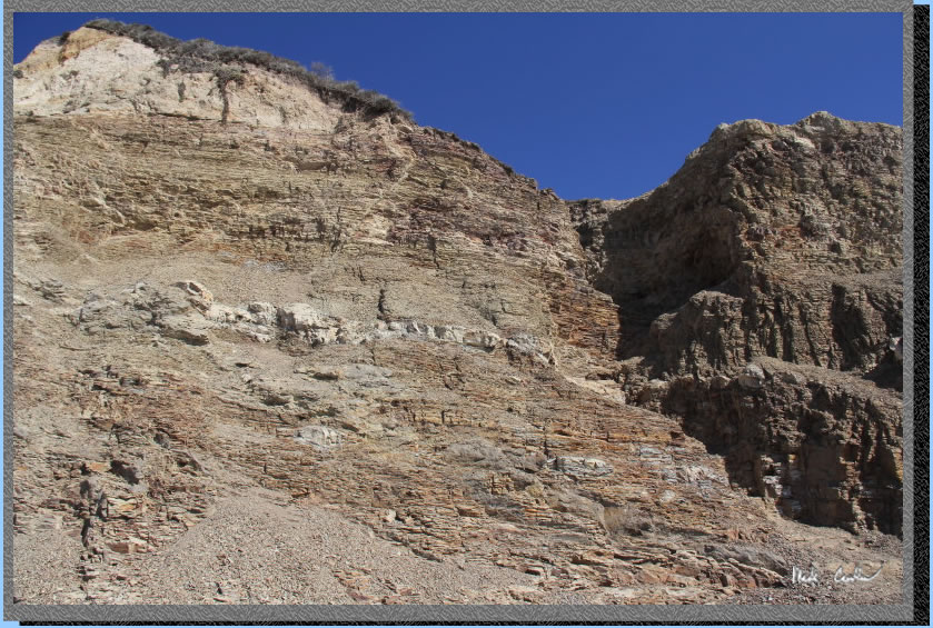
I killed some time waiting for the Alamere Falls crowd to clear out some so I could get a person free shot. Most at the falls are of the day hiker variety, so they will eventually have to head back. Here are some of the cool cliff faces.
Alamere Falls. Not a huge flow, but still flowing.
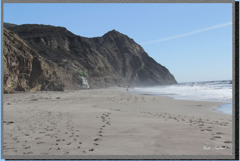
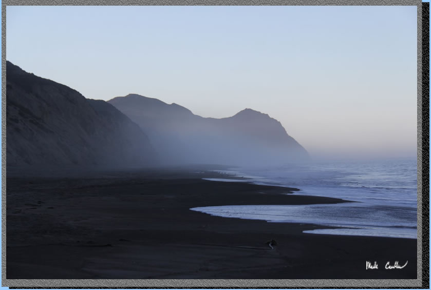
I walked past the falls to a private beach on the other side and took this picture. Watch the tides so you don;t make this private beach the last one you see.
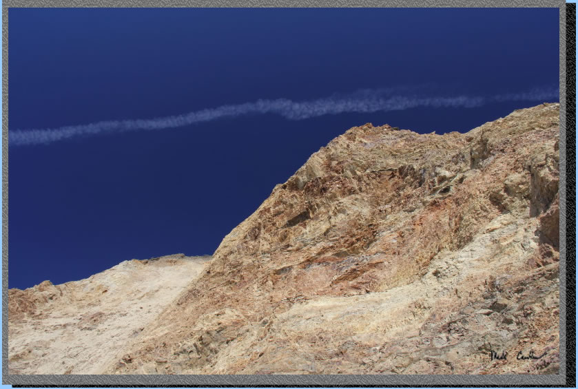
Really blue sky makes this shot look doctored. It isn't though.
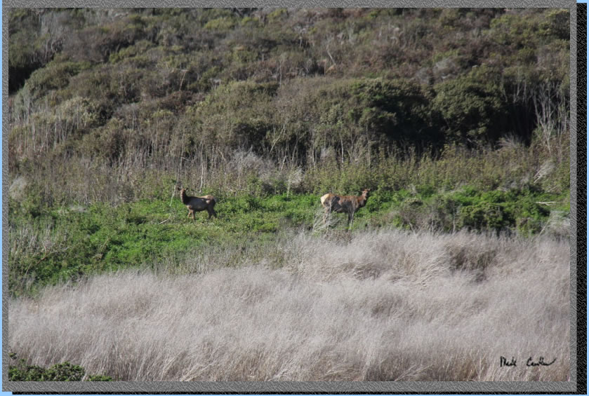
I goofed around at the falls for a bit before heading back. Here are some of the last shots of the day. Tule Elk making sure I am not a predator..
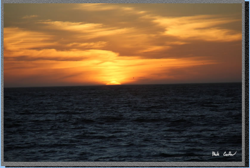
Sunset
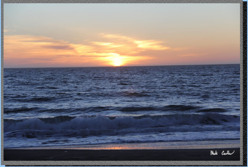
Getting dark soon.
That evening was nice and cool and easy to fall asleep with the sound of the waves in the distance. I hit the beach the next morning to see what might be out there. I ran across this beauty just waiting for the sun to come out.
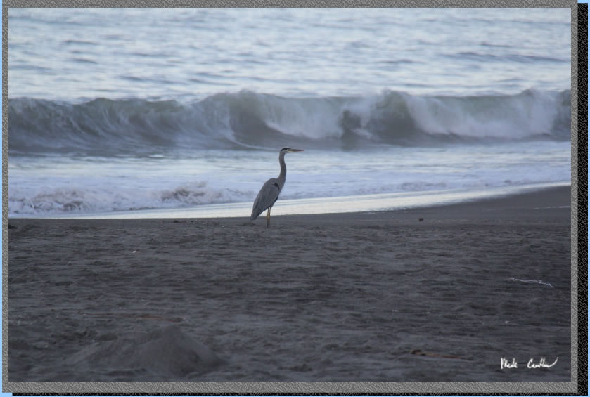
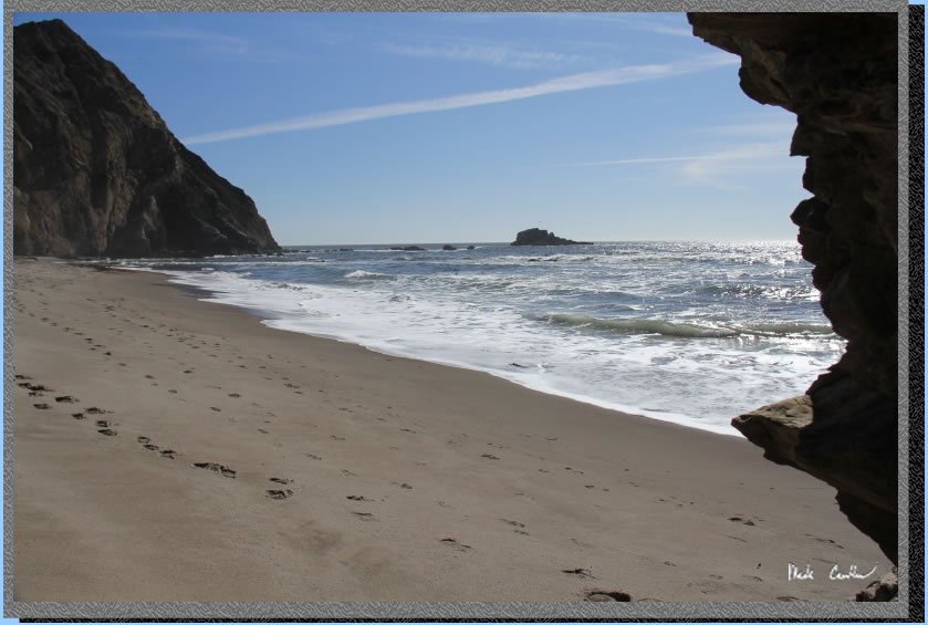
Somewhere down that beach is Alamere Falls.
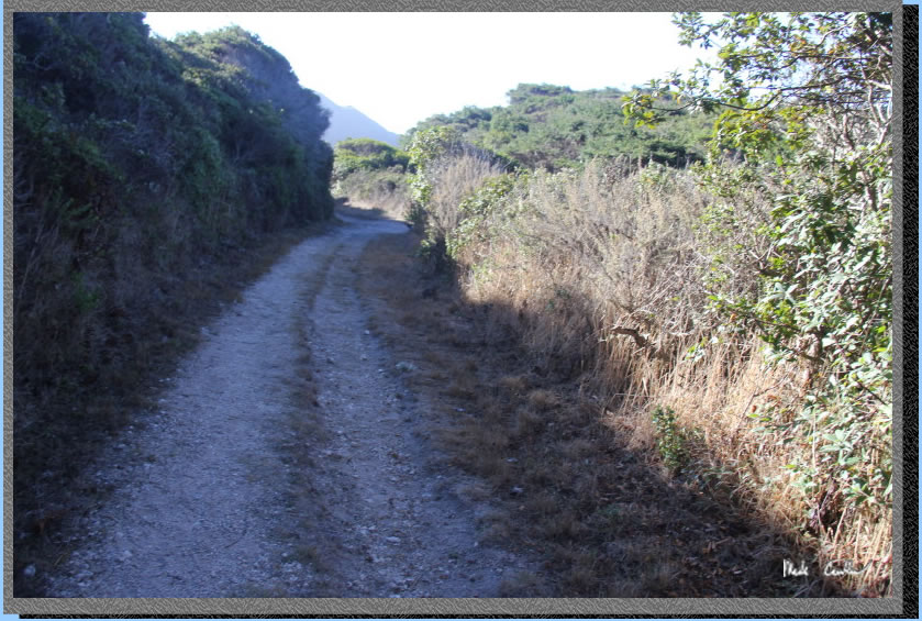
Eventually I packed up and headed out. I decided to use the Coast Trail on the way out. It is uphill to Old Out Road (see image below)then downhill, then level and finally a small up and over to the junction with Ocean Lakes Loop. Overall the Coast trail has less view, but also less steep up. Both options are mostly open. I will leave you with some more shots of the way out
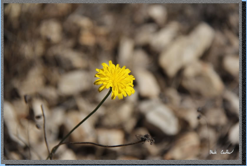
Yellow flower.
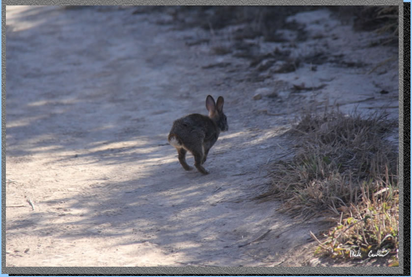
Lagomorph.
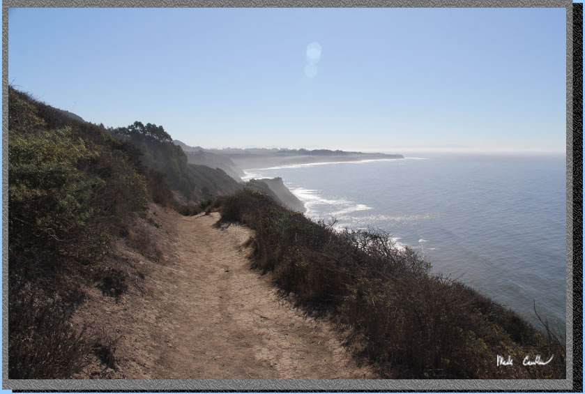
Almost back to the trailhead.
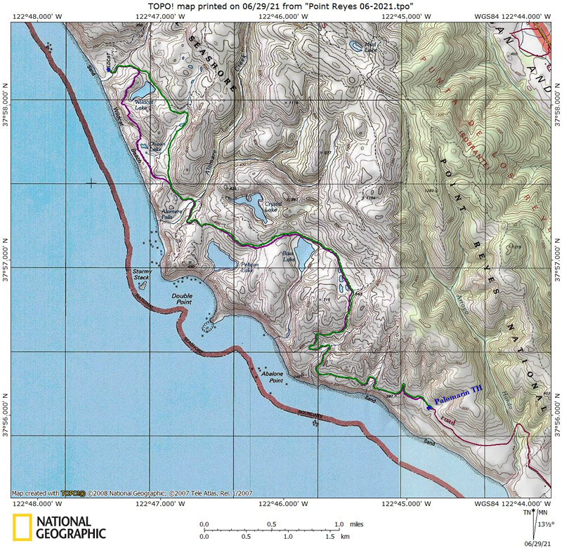
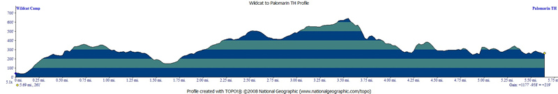
Purple line shows the path I
hiked from parked car at Palomarin Trailhead to Wildcat Camp. Green line shows the path back to car
on day two. Elevation profiles below map (day one then day two). There is some of the car ride on the way to the trailhead captured in purple as well, sorry about that. Where the green and purple line coincide on the southern blue waypoint is where the trailhead is..
Click any image below for a larger version.
(back to top)
DAY 1

(back
to top)
Day 2
(back
to top)