![]()
 Permit
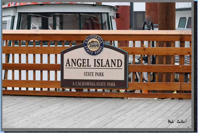
- A permit is required for all overnight stays on Angel Island. Permits
can be obtained using the state park website at www.reservecalifornia.com.
Permit
- A permit is required for all overnight stays on Angel Island. Permits
can be obtained using the state park website at www.reservecalifornia.com.
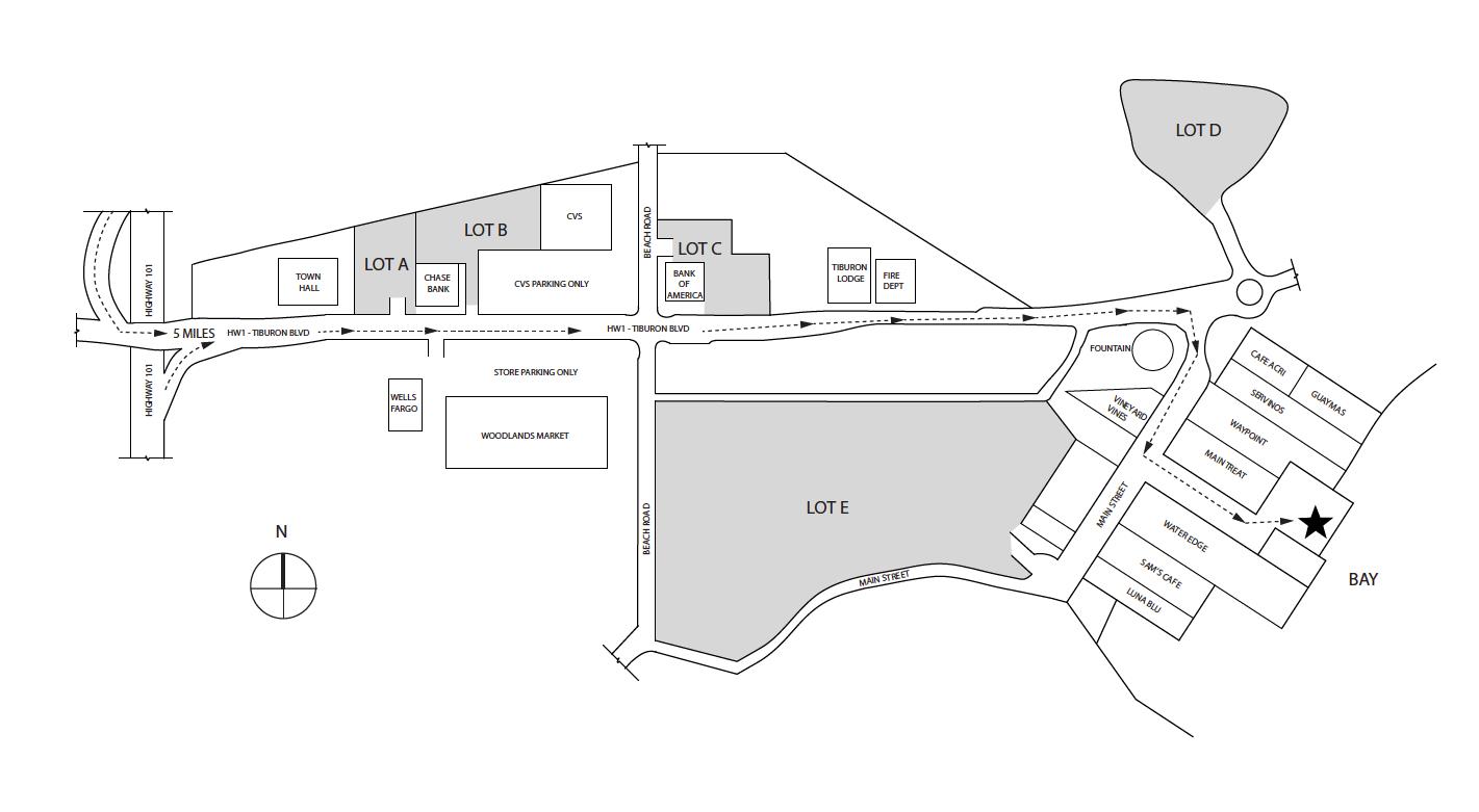
Transportation/Parking - Your options include private charter, Tiburon Ferry or Golden Gate Ferry . Be sure to check the ferry schedules prior to making your camping reservation. Ferry service is limited in the off season. For parking in Tiburon see map below map/profile. Parking is credit card at Lot A and Tiburon Ferry you can reserve ahead on website (choose camper rate) Golden Gate Ferry is clipper card.
Mileage - Ridge sites are 1.6 miles on the way in (walk from ferry dock to campsite). Your mileage may vary depending on your campsite and route/exploring selection. See map/profile below of all the hiking we did. Trail map is here.
Camps/Water - There is a bathroom (pit toilet), trash can, and water at each group of campsites. Once you check-in with ranger after reaching dock there is a bathroom and cafe (seasonal).
Hazards - Mice, raccoons, Poison Oak, missing your ferry. Nearest Ranger # 415-435-1915 (always check with ranger ahead of time for current water/trail conditions).
Leo, Dan, and I made this trip to Angel Island Ridge Site #4.
For other site descriptions use these links (Sunrise site #8 in 2010, East
Bay site# 2 in 2023 and Ridge site in 2021). Sunrise camp has uninterrupted views, East
Bay site #1 is big, away from neighbors, and has shade and some shelter
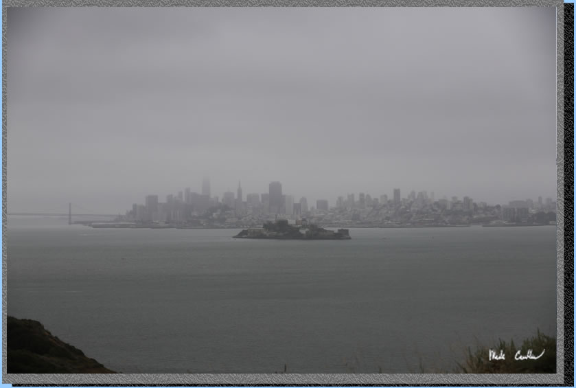
from wind. The Ridge sites are the most exposed, but have the killer
views of the San Francisco skyline. Ridge site #4 has the best views
but no shade and no shelter should the wind/weather head in. Each group
of sites has a water faucet and pit toilet. We used the Tiburon
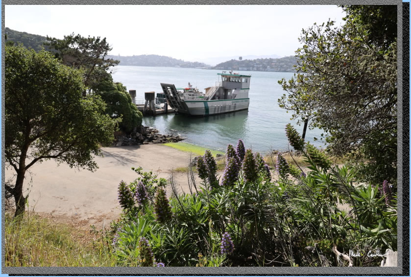
Ferry on this trip. It is about a ten minute ferry ride to Angel Island from Tiburon. We parked at one lot "A" a few blocks from the ferry.
Parking in lot "A" has a machine that accepts credit cards. If you are looking for food/caffeine there is Cafe Acri on the corner. We grabbed some quick food before boarding the ferry. Here is Dan as we left the dock on the ferry.
. 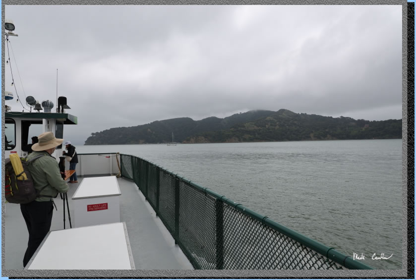
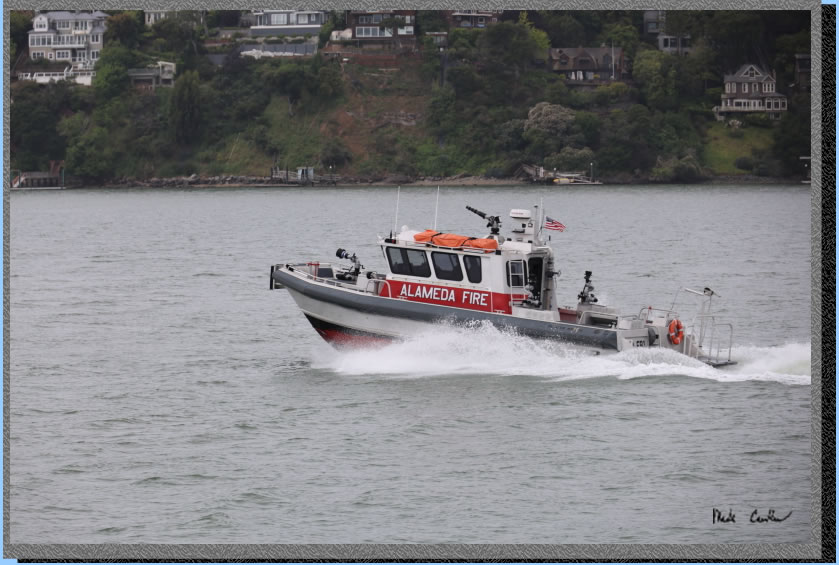
Be sure to enjoy the views (assuming no fog) of the Golden Gate on the ride to Angel Island. City views will be on the starboard side on the way in. I did take some obligatory pictures of the Golden Gate on the ferry. However, I thought I would include this more interesting one of the Alameda Fire boat.
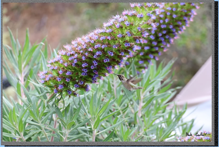
After you get off the ferry you need to head over to the ranger kiosk. Rangers make sure all the ferry passengers have debarked first, so take your time when getting off the ferry. On previous trips the rangers have mentioned the raccoons are able to get into the food lockers unless you lock them (or us a carabineer). There are more concerns now with bold coyotes. Be sure to listen to the latest ranger advice/rules. After we checked in with the ranger, and went over the rules, we went to the cafe. Here is the cafe with the assortment of foods/drinks. We had a nice cold beverage while sitting on the deck. I grabbed a few hummingbird shots on the "Pride of Medeira" plants before we started our hike to camp.
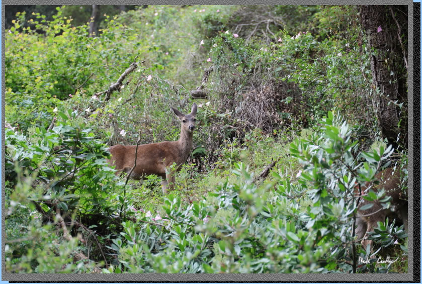
We hiked past the cafe and the Visitor Center/picnic areas to the Perimeter Road. Here is the shot of an island deer watching us from above the trail. Aparently the Army brought more deer to the island back in the day. The coyotes apparently swam, recently.
You quickly get to Camp Reynolds and should explore it if you haven't before. We had plans to try to make it to the Immigration Station before it closed so I just grabbed a quick shot as we hiked by.
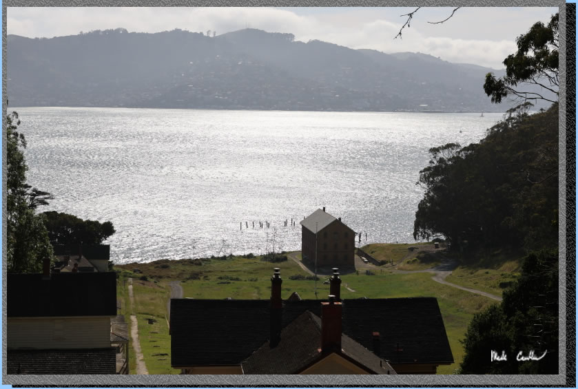
The beauty of this island (besides the history) is the views. Here is one example on this gray day.
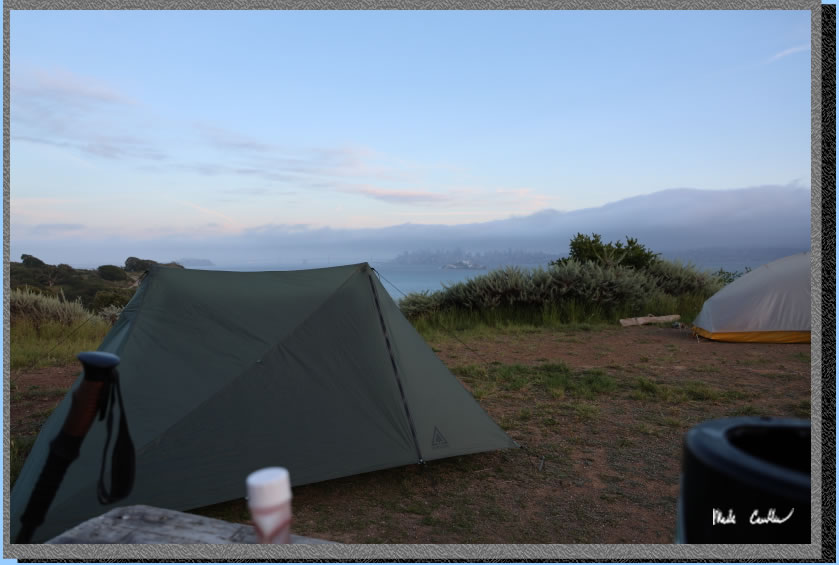
We continued on up to the ridge campsites. You hike up the hill a bit with site #5 to the left and then #6 by the pit toilet and #4 up further on the right. We setup camp quickly and headed out. Here is a shot of the site (taken later in the day).
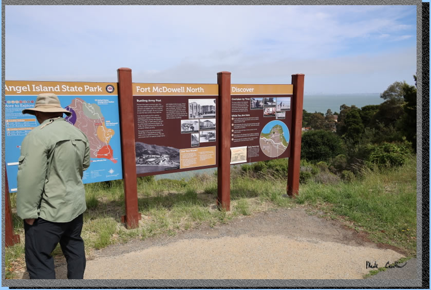
After setting up camp (and getting some essentials packed for the day hike) we hiked down to the Perimeter Road and continued our counter-clockwise island tour. I did not do a great job of capturing images for this description. I think I was too busy chatting. Here we are at the East Garrison, Fort McDowell. The island has some great informational signs to read.
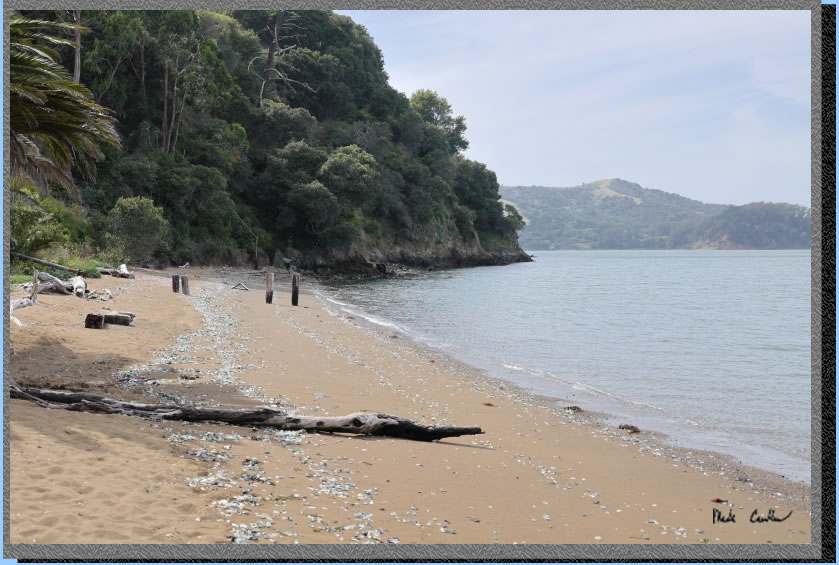
We did not make it in time to explore the Immigration Station during the posted hours. However, we decided to hike down to it from the Perimeter Road to see the beach and the outside of the buildings. While we were outside a really nice ranger let us come in and tour the buildings. There is some amazing history to learn here. We did eventually make it to the small beach as well. Here is the shot of that.
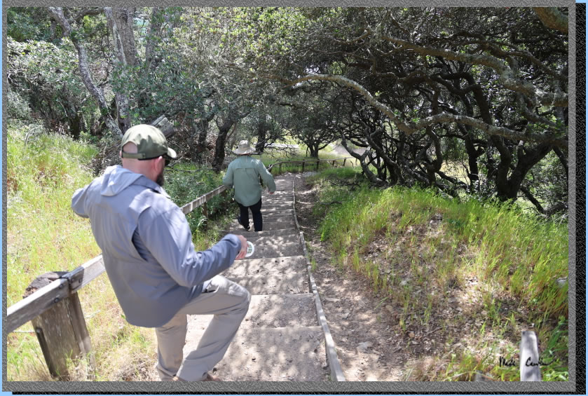
We hiked up and out of the Immigration Station and continued counter-clockwise on the Perimeter Road to the stairs down to the Ayala Cove. Here we are trekking down the stairs.
Here is the service dock. This boat is how other vehicles are brought to and from the island. On trash day you can watch the garbage truck get "delivered".
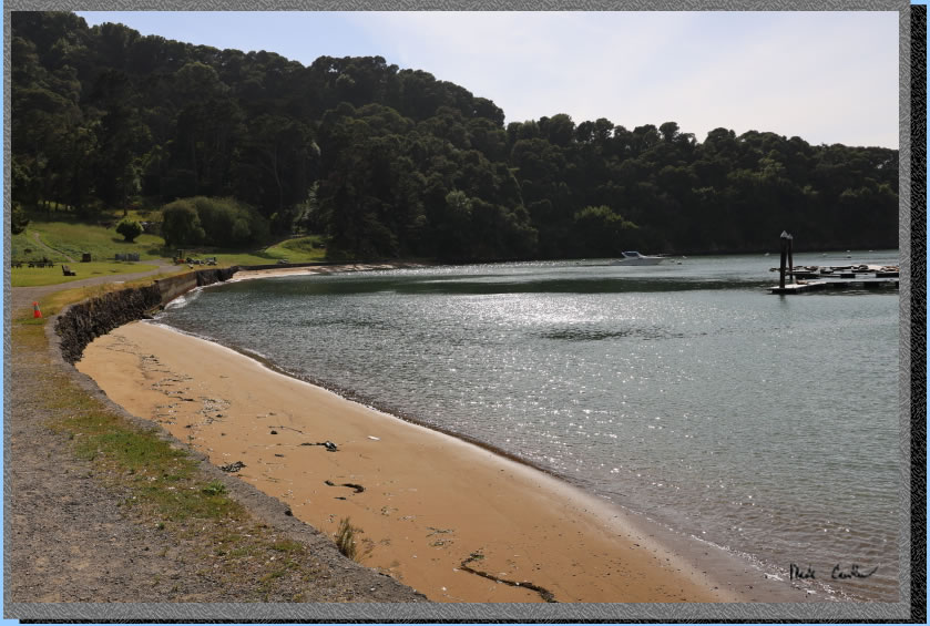
We continued past the beach in front of the Visitor Center (seen below).
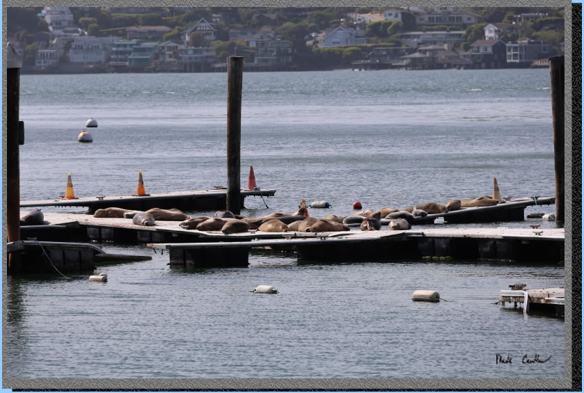
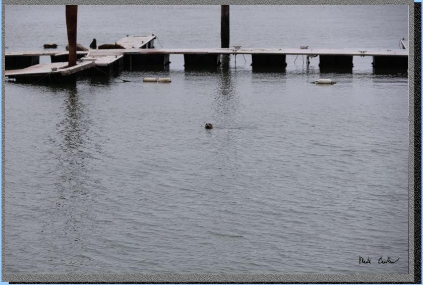
We watched the sea lions a bit on the docks but thought we should get back to camp and the view of San Francisco before any more gray stuff showed up.
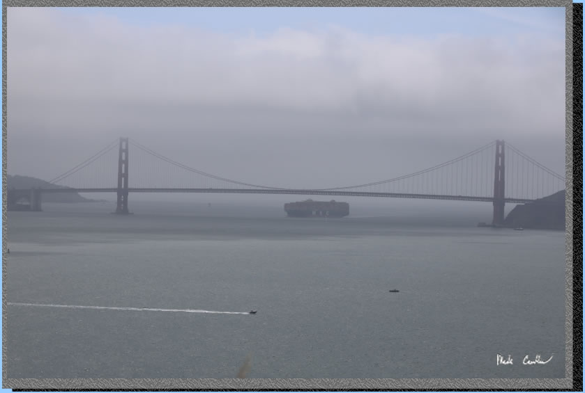
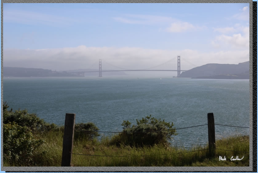
Another Golden Gate shot from the Perimeter Road before heading up to camp.
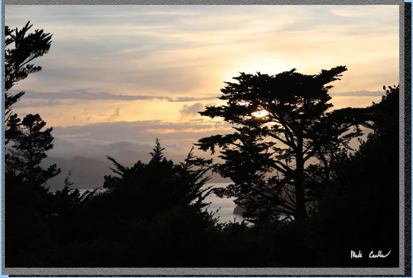
The sunset was better in person but here is the view to the west from camp of the sun setting in the trees.
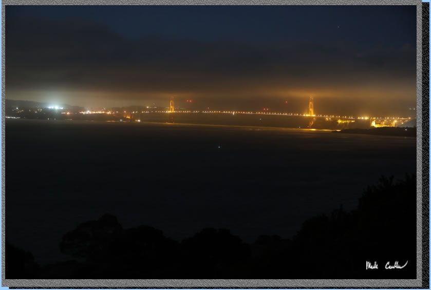
The clouds and general moisture in the air made it hard to grab any great night shots. Here is the Golden Gate Bridge that night.
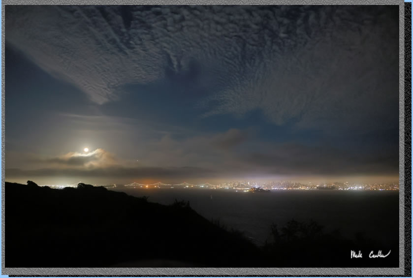
Angel Island provided a unique perspective on some of the bay's most famous landmarks. Here is a shot of the SF skyline and the Bay bridge with the moon lighting up the sky. We hung out a bit before retiring to our tents. We had a nice evening with some wind but not too bad.
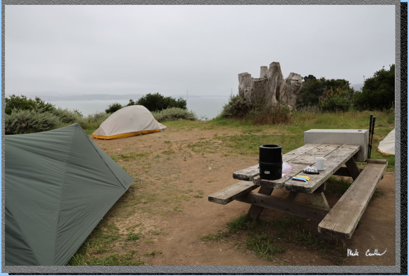
Here is camp in the morning. You can see how open the site is a little better in this shot. Camp has a table and bear locker and a water spigot.
It was gray that morning in the City. We had breakfast and took our time packing up. It is a short hike back to the cove and the ferry. It was another great trip to Angel Island. Make sure to get out here. I will leave you with some of the shots that did not fit into the trip description..
Playful sea ilion.
. 
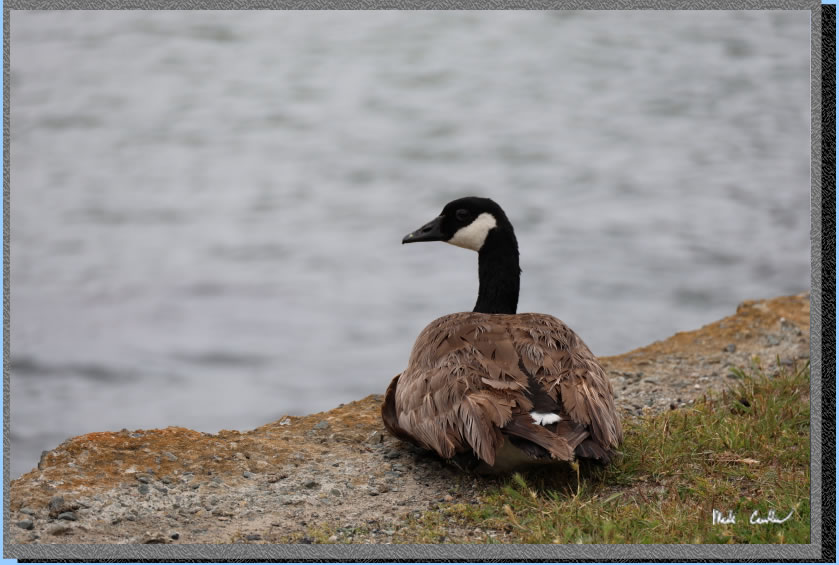
We saw this goose multiple times on this trip. I think he was keeping tabs on us.
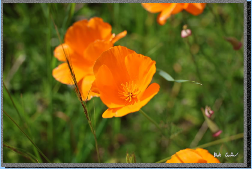
Poppies on day one.
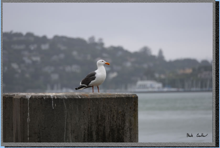
A seagull weighing his options for the day...
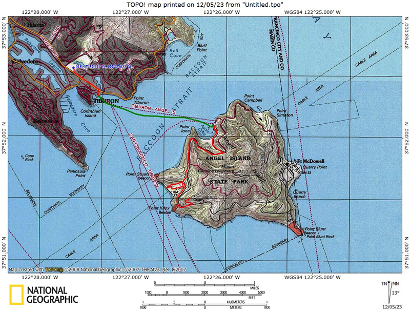
Green line shows the ferry trip. The short red line is the short walk from Lot A to the dock. The longer one on the island is the ~1.6 miles from the dock on the island to Ridge Site #4. The route below shows a detour to explore Camp Reynolds (West Garrison) from a previous trip.
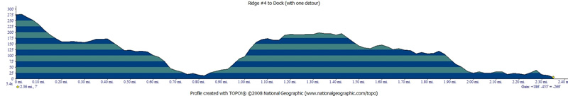
Profile from Camp At Ridge Site #4 to Camp Reynolds beach then dock via paved road (not stairs) from a previous trip.
(back
to top)
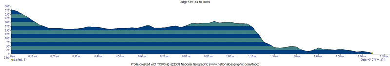
Hike out via using the stairs (from previous trip) from a previous trip.
(back
to top)
PARKING:
Overnight parking
is allowed in lots A, B, D. The star on this map is the dock for the Tiburon Ferry.
Click on map to see larger version.