


![]()
 Permit
- Permits can be obtained through www.recreation.gov. You can just print your email confirmation to use as both your parking pass and the permit. Permits used to be picked up from the Bear
Valley Visitor Center (located at 1 Bear Valley Road Point Reyes
Station, CA 94956, 415-464-5100). Sites run $20 per site per night (up to 6 people per site)
Permit
- Permits can be obtained through www.recreation.gov. You can just print your email confirmation to use as both your parking pass and the permit. Permits used to be picked up from the Bear
Valley Visitor Center (located at 1 Bear Valley Road Point Reyes
Station, CA 94956, 415-464-5100). Sites run $20 per site per night (up to 6 people per site)
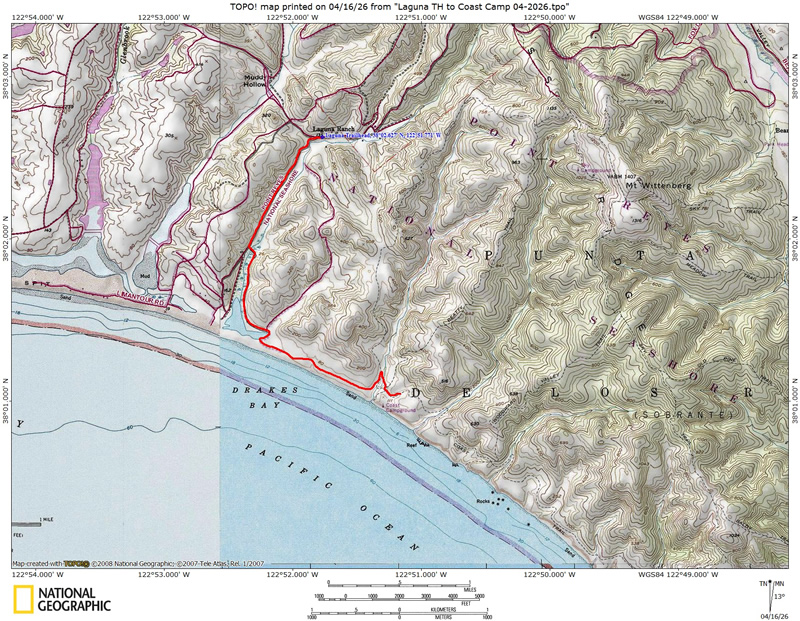
Mileage - Coast Camp is a short 3.1 miles each way via the Coast Trail or a really short 2.1 miles via the Laguna Trail/Fire Lane Trail. Or you can make this a 5.3 mile loop trip. We did the Coast Trail on this trip. See map/profile below.
Camps/Water - Coast Camp has 14 sites (some of them are group sites). Sites 1-7 are closest to beach access. Nice pit toilets are near sites 9 and 10. Each site has a metal locker, picnic bench and barbecue. Potable water faucets are provided near sites 8 and 12.
Hazards - Poison Oak, ravenous raccoons, Coast Dragon (use the locker for food storage), mice (can sometimes get in lockers at night, although I haven't had that problem since they upgraded the lockers).
On this trip we had Leo, Dylan, Sarah, and myself for a classic Coast Camp trip. We grabbed lumch at the Point Reyes Mexican Grill on the way in (and for a bio break we used the bathrooms up the hill behind the store). The visitor station also has bathrooms and exhibits, worth checking out, the exhibits, the bathrooms are normal bathrooms. Getting to the trailhead is easy. After you leave the Bear
Valley Visitor Center (and the last viable cell coverage) take a left onto Limantour Road. Look for a sign
for the Hostel/Laguna Trailhead on the left. Take the left onto the
one lane road and you will see the Coast Trailhead on the right (just
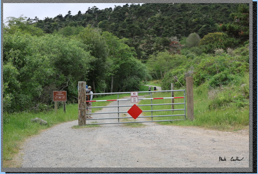
before the Hostel on the left). Parking at Coast Trailhead is limited
(you must park off the roadway or you will get ticketed). We were able to get a spot on the side of the road (see image below). On busy weekends you are not going
to get a spot at the Coast Trailhead. If no parking is available drive
further down the road to the dirt overflow lot just before the entrance
to the Laguna Trailhead parking lot.
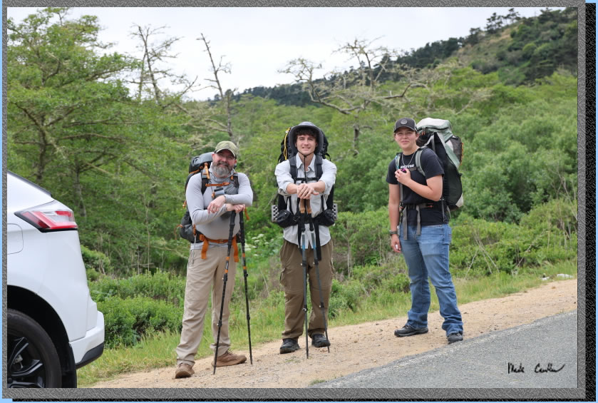
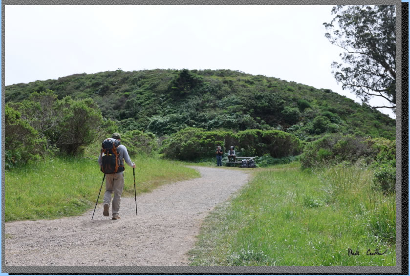
We got our packs situated and confirmed essential gear before we headed down the Coast Trail. The trail is exposed and level (and wide enough for the rangers to drive on). Here is the start of the trail as you see it from the road.
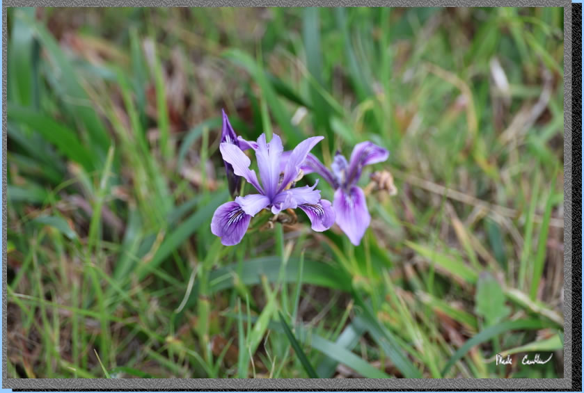
I think we likely missed the big bloom but bloom, but I was able to grab a couple shots that turned out pretty good.
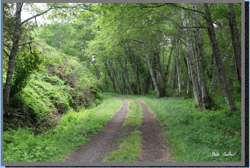
We quickly crossed over the creek on the way in (it goes under the trail). The creek is on the right now and there is a nice green section of covered trail shown in the image below.
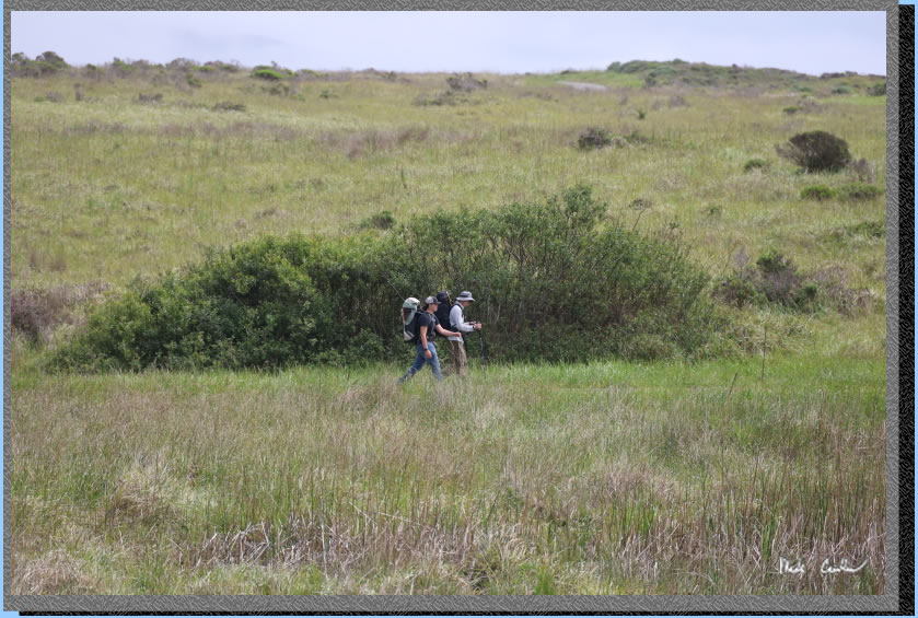
The trail is mostly open with sounds and views of the ocean. Here are Sarah and Dylan out ahead of us.
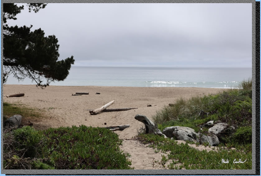
You have the option of continuing on the Coast Trail or heading out onto the beach. We stayed on the trail today. Here is the beach access.
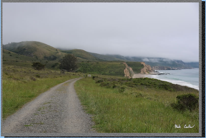
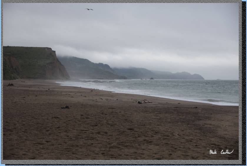
Here is why this section of trail is popular. The camp is just past the biggest tree in the center of the image below. Weather was cooperating with the dial turned to coastal cool and typical gray.
A zoomed in shot of the image above. This is Santa Maria Beach and is adjacent to Coast Camp. 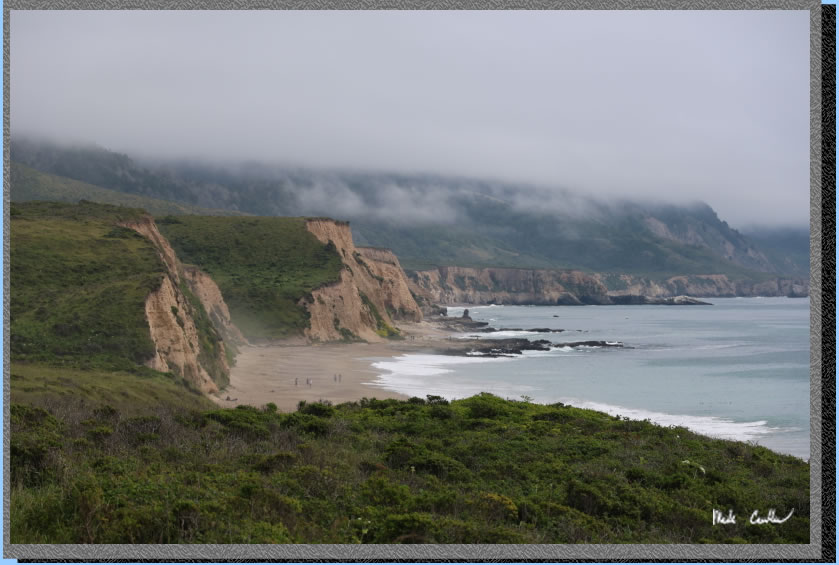
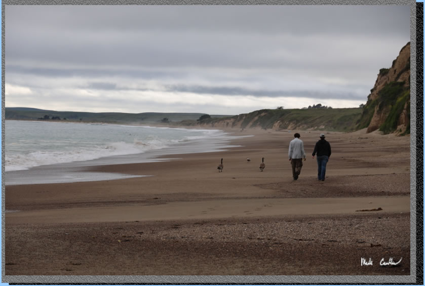
You continue to hike parallel to the beach for the rest of the hike to camp. You continue to the junction of the Fire Lane trail (the other, shorter, way back to the trailhead). We continued right to stay on the Coast Trail. The trail descends briefly to the next creek crossing that goes under the trail. Once up the other side you will see the first seven campsites and garbage/recycle containers. If you continue on the trail you will come to where the beach access is located on the right of the kids in the image below.
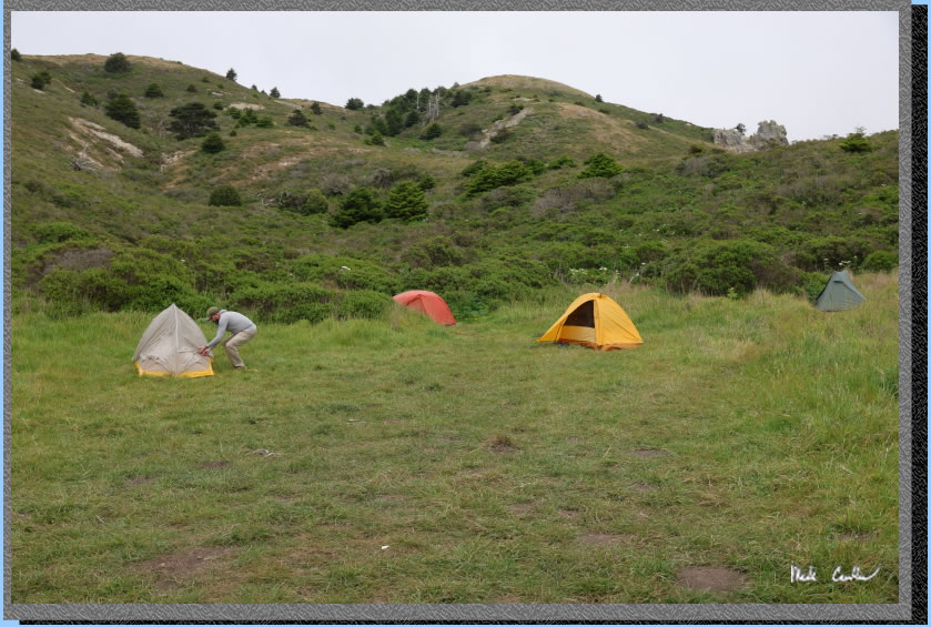
We setup our tents as rain was forecast as a distinct possibility. We were hopeful it held out until the evening.
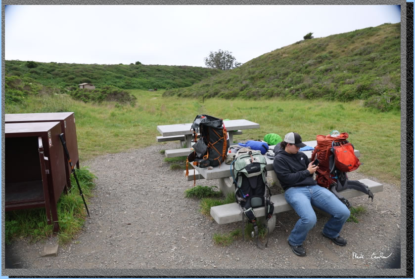
Here is camp with the food lockers and tables. You can see the bathrooms in the distance. There are trash and recycle receptacles and a water spigot near the bathrooms.
. 
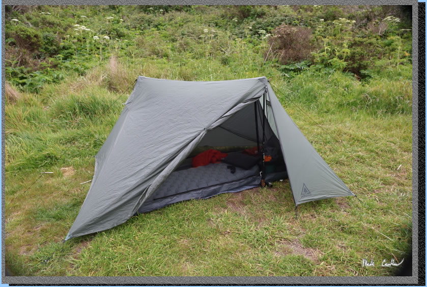
I was testing out a new tent on this trip from Durston. It is the x-mid1 and I have to say I am impressed so far. It seems solid and performed well. No, I was not paid to say that and no, Durston did not give me this tent. Well technially they gave it to me after I paid for it, but I paid full price.
We headed down to the beach after setting up camp. You can see the gray overcast just above us. 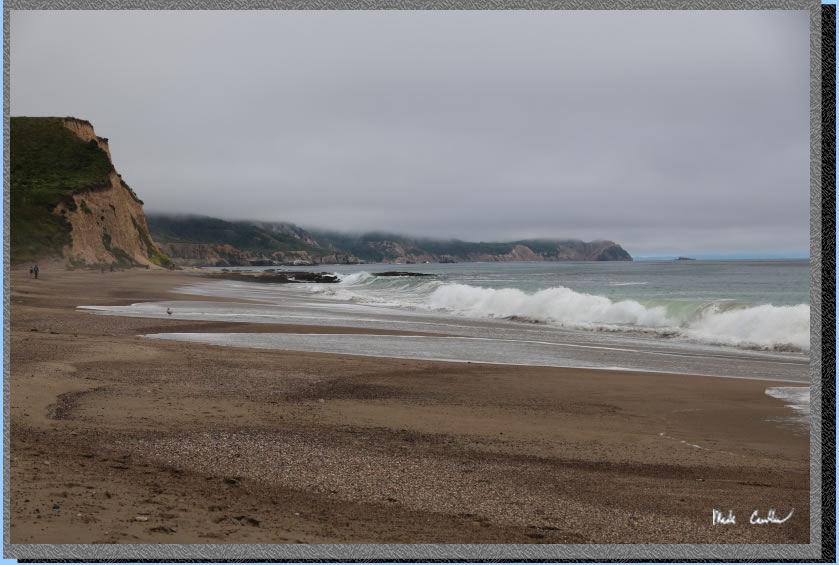
Sarah and Dylan were showing where not to hangout at the beach...
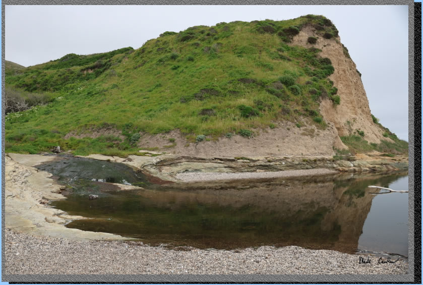
After conversations about erosion and safety choices, we continued down the beach to a creek outlet that forms a small pool. The pool is a nice spot to try to skip some stones.
I am not sure that I should have been standing across from people skipping stones. 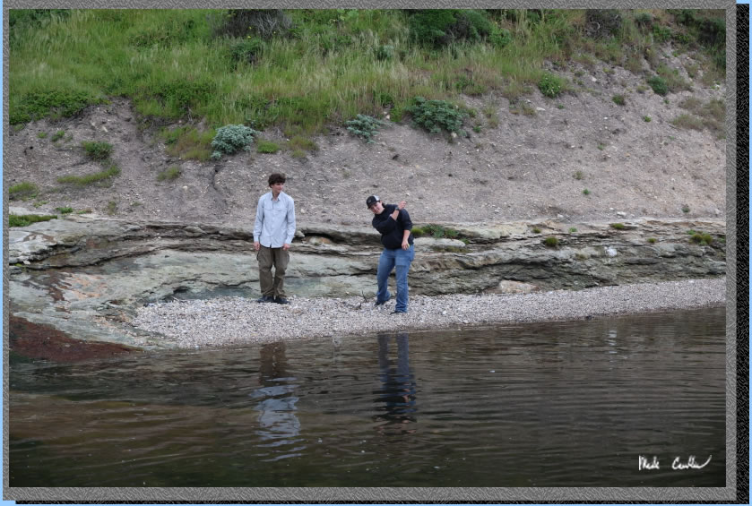
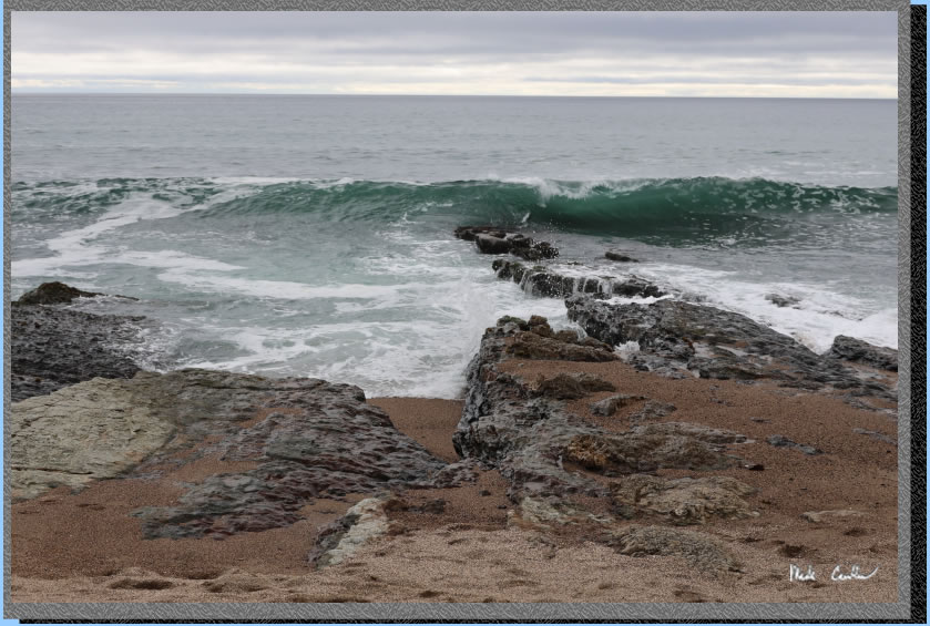
We ran out of good skipping rocks and headed further down to some tidepools. The tide wasn't very low but the waves were fun to watch.
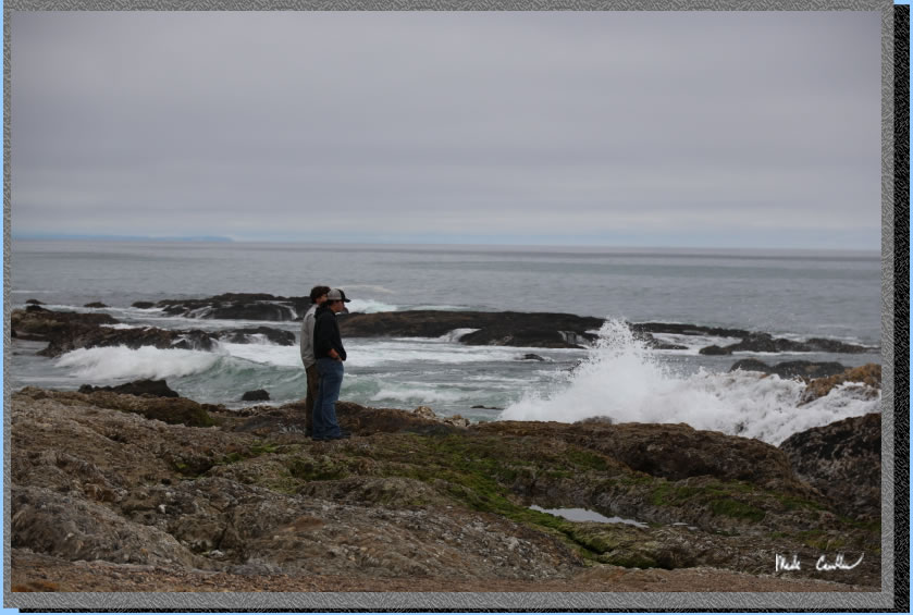
Sarah and Dylan are taking in the power of the ocean.
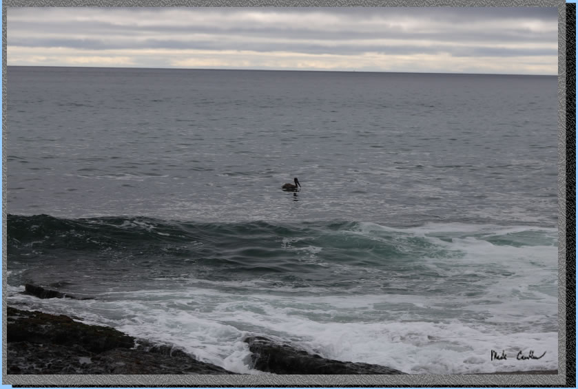
We decided we should head back for dinner. Here is a shot a grabbed of a brown pelican looking for his dinner.
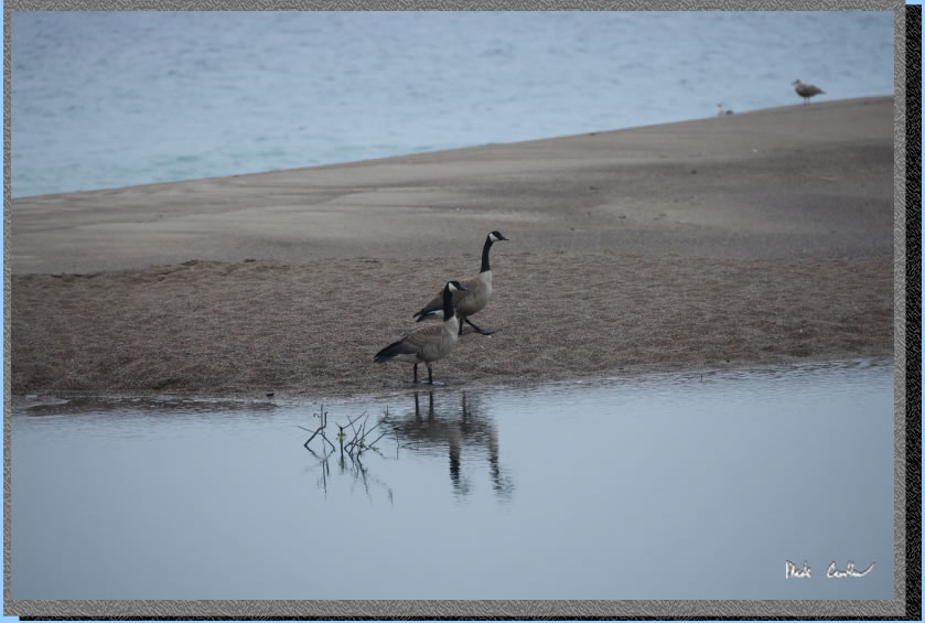
We followed some geese on the way back.
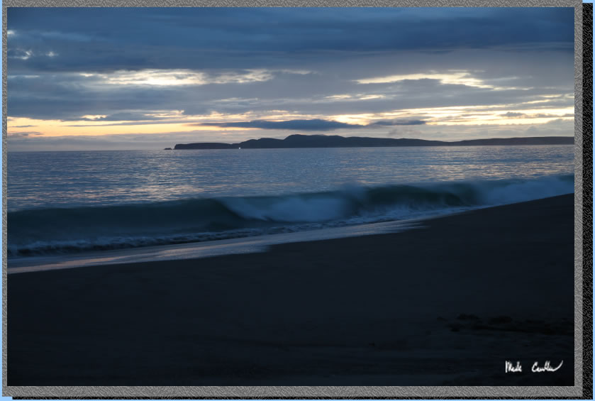
Dinner was nice and we decided to go back to the beach to watch the sunset. We really lucked out that the dry weather held out for us. We hungout a bit on the beach before going back to camp to relax before bedtime. We all retired to the tents before any rain. At some point that night it started and came down on us good. Luckily we all have good tents. It was a great test for my new tent. It showed no problems and kept me perfectly dry.
I woke up before the rest of the camp and headed down to the beach. The rain stopped enough for me to grab a few shots before it started again as we were packing up.
The geese didn't seem to mind the night of rain.
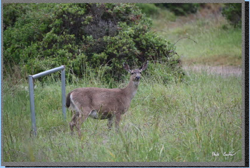
The deer seemed very curious of me that morning.
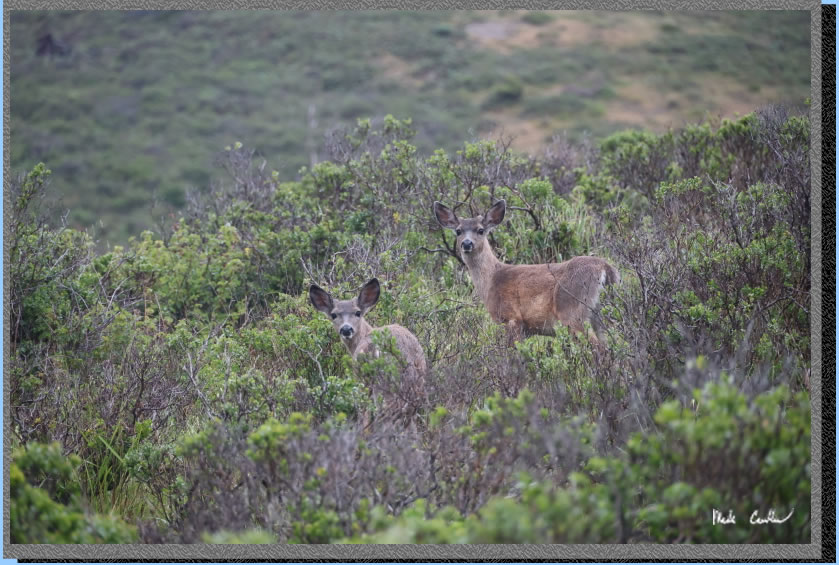
This one was not sure of me at all. I was zoomed way in, so not as close to her as it looks.
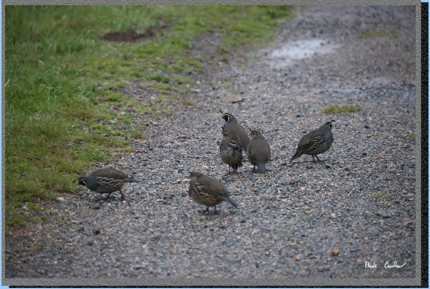
The quail were also out that morning, and not willing to hold still for me in the low light. I put the camera away for the hike out to keep it safe from the sprinkles (that got a little heavier at times). We made it back out to the trailhead on the Coast Trail. It was another great trip. I will leave you with some images that didn't fit in the trail description.
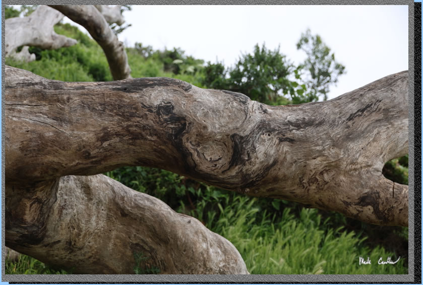
The big tree at camp up close.
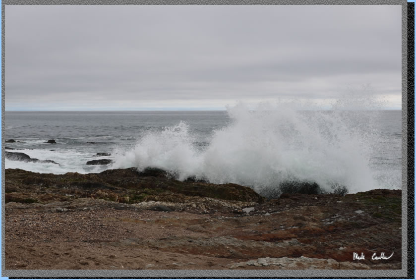
Powerful wave action.
Scroll
down for map and elevation profile.
Red
line shows the path we took from Laguna trailhead to Coast Camp #13 via
the Coast Trail on day one.
Elevation profile below map.
Click on map or profile for larger version.
(back to top)
Elevation
profile below shows Laguna Trailhead to Coast Camp #13 via Coast Trail.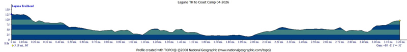
(Back
to top)