![]()
Sarah wanted
to go on her second backpacking trip somewhere with sand (I think she
heard this place was cool from her brother as well). Tyler had his first
backpacking trip here and he had a blast (see "the
shipwreck" trip). Point Reyes National Seashore offers a number
of camping options. Coast Camp is a short 3.1 miles each way via
the Coast Trail or a really short 2.1 miles via a "Fire
Lane Trail".. 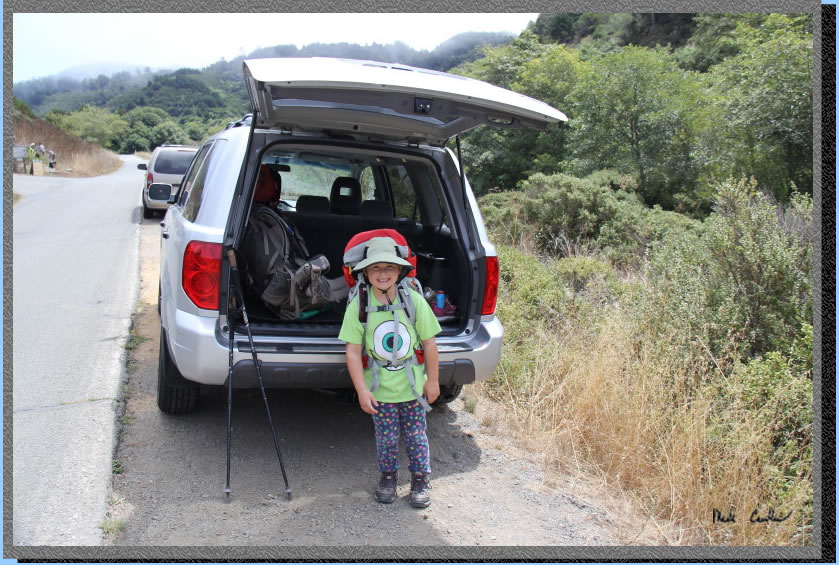 Sarah
and I decided on doing a 5.3 mile loop trip. We parked at Coast Trailhead
(adjacent to the hostel) and took the Coast Trail to camp and took the
Fire Lane Trail/Laguna Trail back the next day, see map
and profile below..
Sarah
and I decided on doing a 5.3 mile loop trip. We parked at Coast Trailhead
(adjacent to the hostel) and took the Coast Trail to camp and took the
Fire Lane Trail/Laguna Trail back the next day, see map
and profile below..
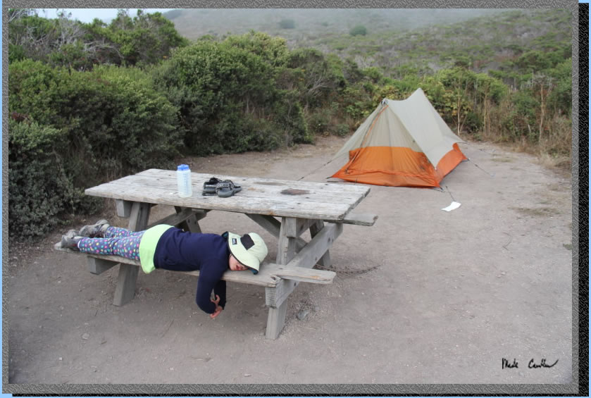
The beauty of this camp is you are right on the water (well a really short hike down to it) and you can explore the beach once you have setup camp. Wildcat Camp is also the same distance from the ocean but the sites are really close together. At Coast Camp sites 1 through 7 are the best with each offering some privacy from the other sites. We stayed at site #1 and it is adequate for 1 tent only. See my previous trip here for a description of larger site #7. All 14 sites are pretty exposed as you can imagine being this close to the beach, Sites 1 through 4 are probably the best if you still want to see a corner of the ocean (no breaking waves just blue ocean). Even if you can't see the ocean you will hear it in the evening/early morning. Things to note are poison oak is plentiful and the raccoons here are no joke. Lock up anything that smells or looks like food. Each site has a metal locker, picnic bench and barbeque. As of this trip the bbq at site#1 is busted, so if you plan on barbecuing pick a different site. There is a really nice pit toilet near sites 9 and 10 with water near the beach access trail. Sites do book up for the weekends so reserve your site early. We went on a Thursday and all sites were reserved (not all sites were occupied that night though). Permits can be obtained through www.reserveamerica.com. Permits must be picked up from the Bear Valley Visitor Center (located at 1 Bear Valley Road Point Reyes Station, CA 94956, 415-464-5100) on your way in. If you are arriving outside of the visitor center's hours they will post permit outside for you. Here is my green eyeball friend ready to hit the trail.
Getting to the trailhead
is easy. After you leave the Bear Valley Visitor Center take a left
onto Limantour Road. Look for a sign for the Hostel/Laguna Trailhead
on the left. Take the left onto this one lane road and you will see
the Coast Trailhead on the right (just before the Hostel on the left).
Parking at Coast Trailhead is limited (you must park off the roadway
or you will get ticketed). If you are using navigation to get to Point
Reyes Visitor Center you may end up at point Reyes Station (the town).
Point Reyes Station is your best bet for last minute supplies and a
good meal either before or after the trip. The deli at the supermarket
makes great sandwiches and if you want sit down the Station House Cafe
is good. Here is the trailhead.
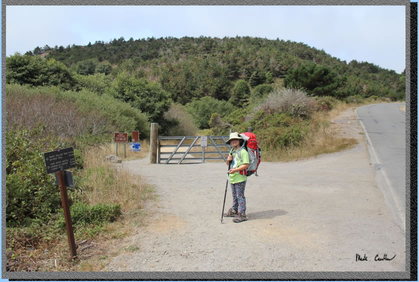
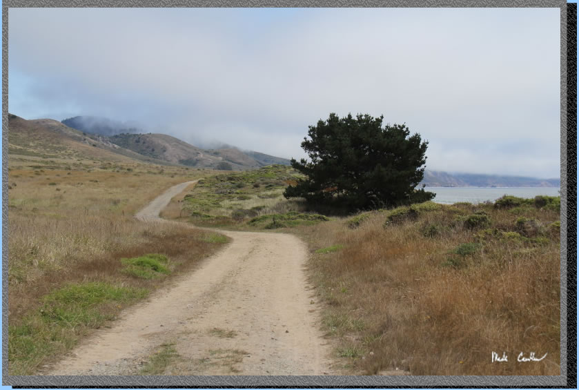
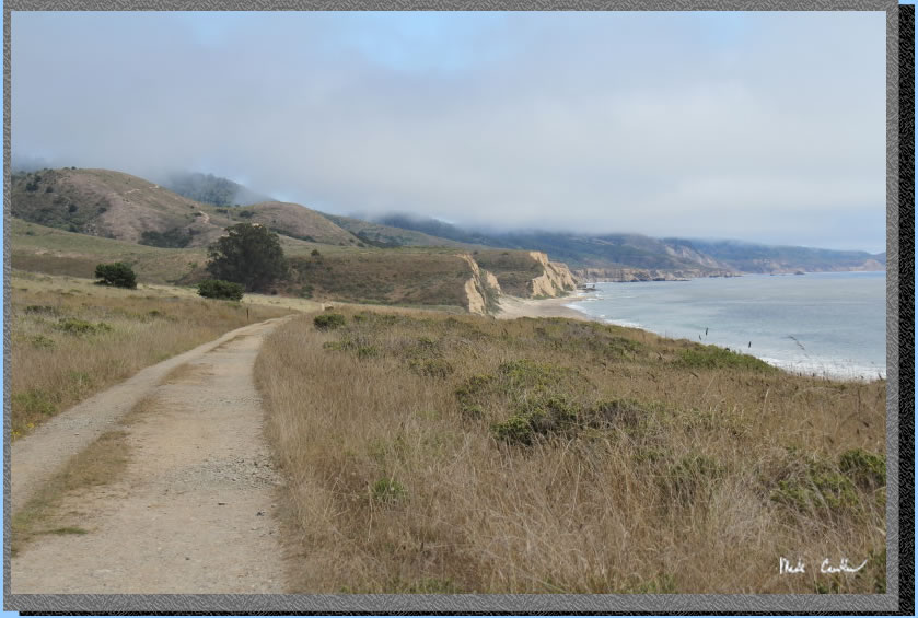
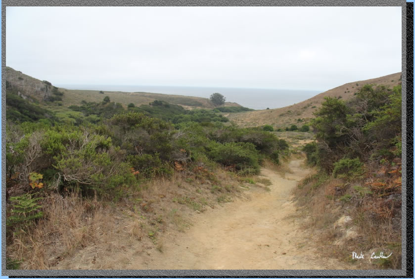
Here is the Coast trail looking
west. You can see that the "trail" is actually a gravel road.
I have only seen rangers driving on it though. The junctions and trail
are well marked.
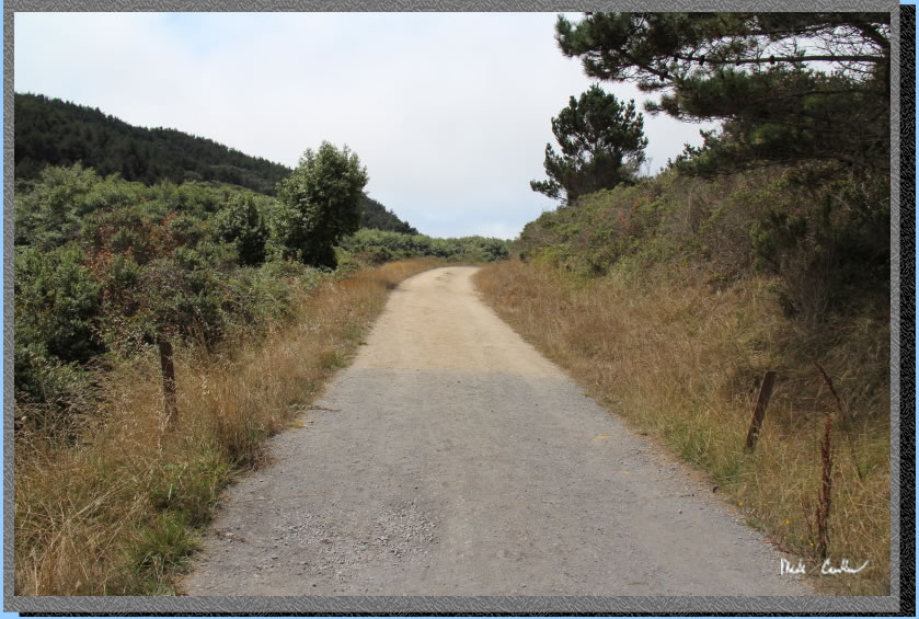
The trail is mainly exposed,
but there are a couple sections after crossing the creek that have some
cover. Temperatures can be cool out here, and fog is likely. There was
a nice breeze with temperatures in the 60's that day. Pretty much perfect
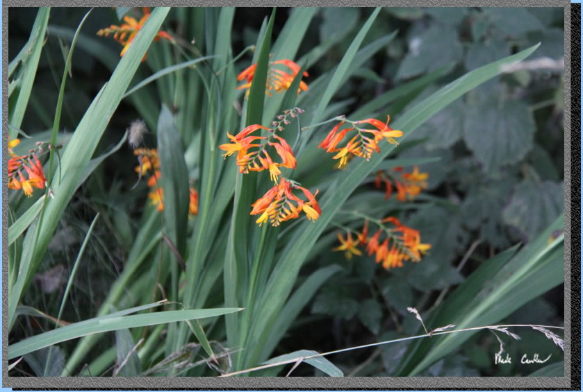
backpacking weather. Here are some cool flowers that Sarah pointed out
on the way in.
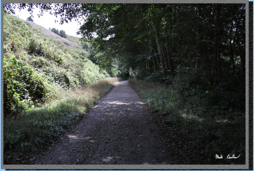
After crossing the creek (creek goes under trail/road) you enter the
semi-covered section.
The trail opens up again shortly as you near the beach. If it isn't
too windy you can hear the crashing waves now. You can see we were going
to have some wind and fog that day.
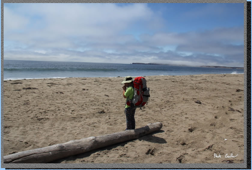
We took the first official
beach access trail to have lunch on the beach. We had taken our time
getting to the Bear Valley Visitor Center and checked out the exhibits
there, so it was now past our normal lunch time. Out in the distance
is the "point" of Point Reyes National Seashore. We went out
to the lighthouse the next day. It is a bit of a drive (45 minutes from
Visitor Center) and very windy roads. It was worth it though if you
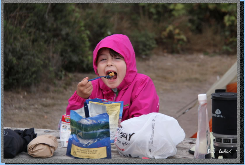
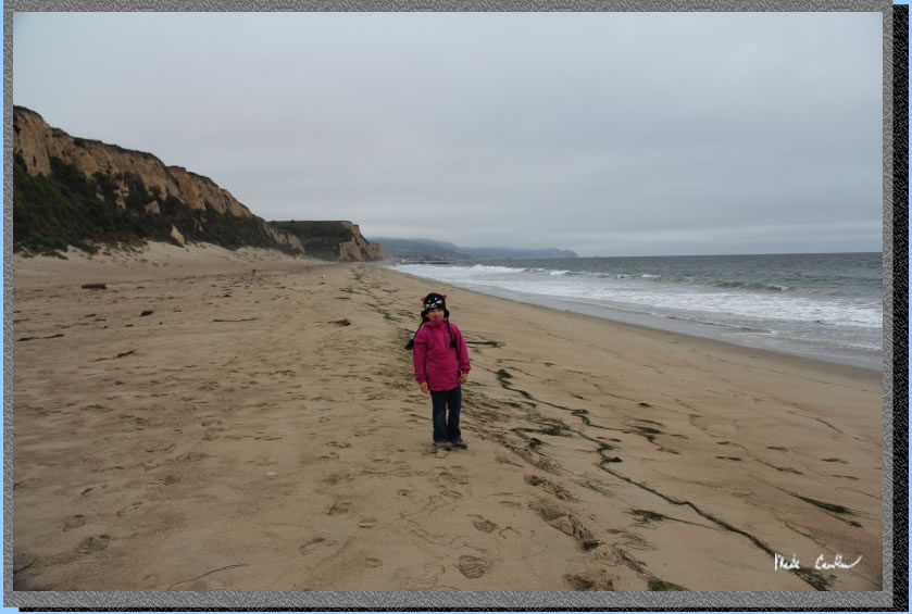
ask Sarah. Here she is getting ready to eat some lunch.
After a short lunch we were back on the trail Here is the beach near
camp and the big tree that is along the trail between camp and the beach,
Santa Maria Beach. From our lunch stop you could actually walk on the
beach to camp. The beach is wide through that section, so even at high
tide you should be ok. We used the trail though. Sarah got sand in her
boots at lunch, so hiking the whole way in the sand was not appealing
to her.
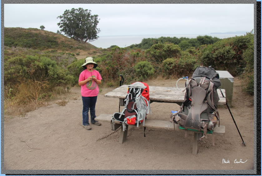
We hiked by some horses,
then to the bathrooms and then back to camp. If you look on the map/profile
I marked the bathrooms with a B. We did the same routine in the morning
the next day (so the actual trip length is a little shorter than it
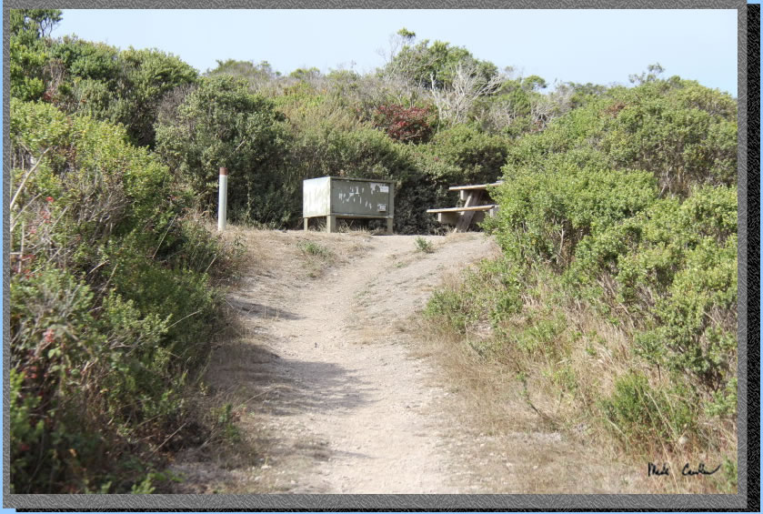
shows). There are 2 nice pit toilets at camp near sites 9 and 10. It
is a little walk from sites 1-7. Here is site #1 with the broken bbq
(only the post remains), table and food locker. I always try to remember
to pack some steel wool to plug holes in food lockers. I actually remembered
this trip, and of course it was already "wooled-up" good.
In case you don't know why you want steel wool, mice will enter through
any small opening and nibble your food. If you can block the access
points with the steel wool they won't chew their way in to your food
cache.
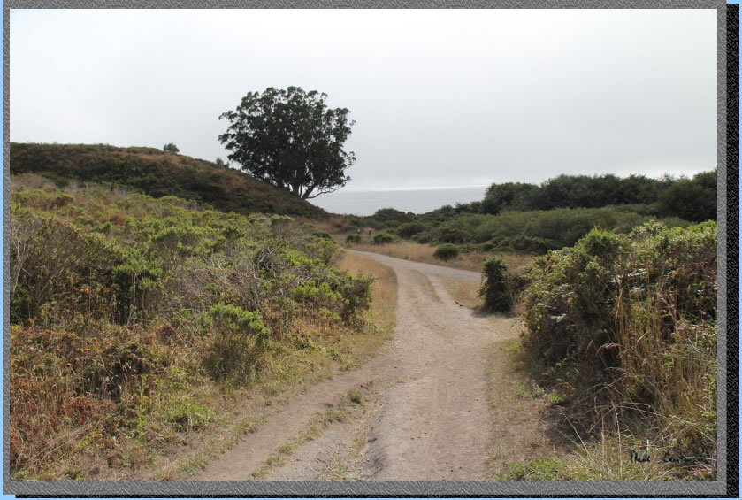
Here is the view as you hike down from sites 1-7 (yes, they are up on
a hill) toward the beach.
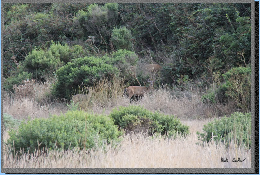
The deer were out and about
camp. They quickly disappeared after I grabbed this shot of them.
We hiked along the trail (that was nearly overgrown in spots) to the
beach. The creek, that can flow to the ocean, was just a trickle that
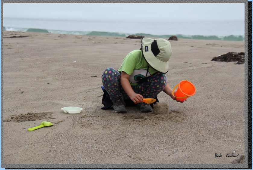
died out well before the ocean. It was too cold to play in the water
today, but Sarah brought some sand toys to make a sand castle.
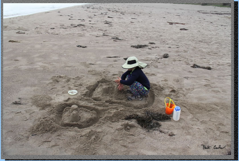
Here is the finished product. She had me run a couple buckets of water
for her moat, until she believed me that we couldn't fill it.
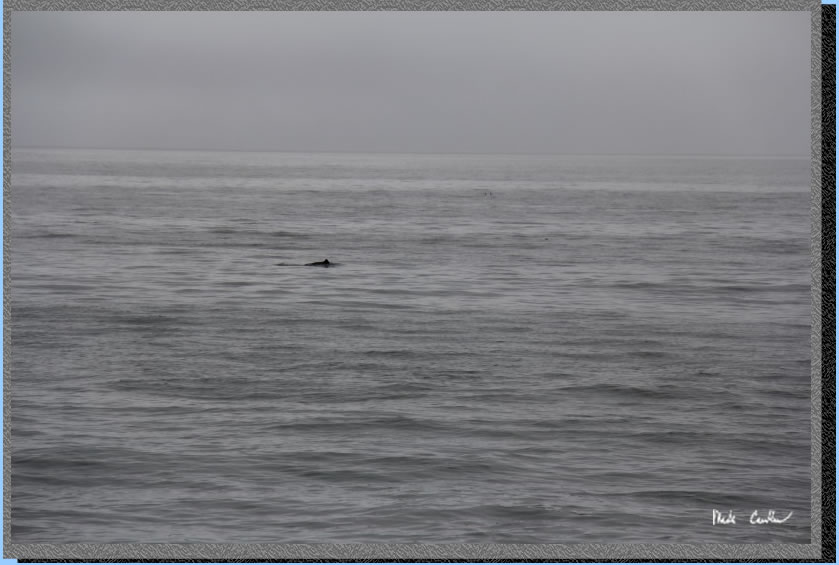
While at the beach we saw some marine life. I think this was one of
the dolphins swimming off shore. It seemed to be a decent size group
of them with some pelicans also nearby.
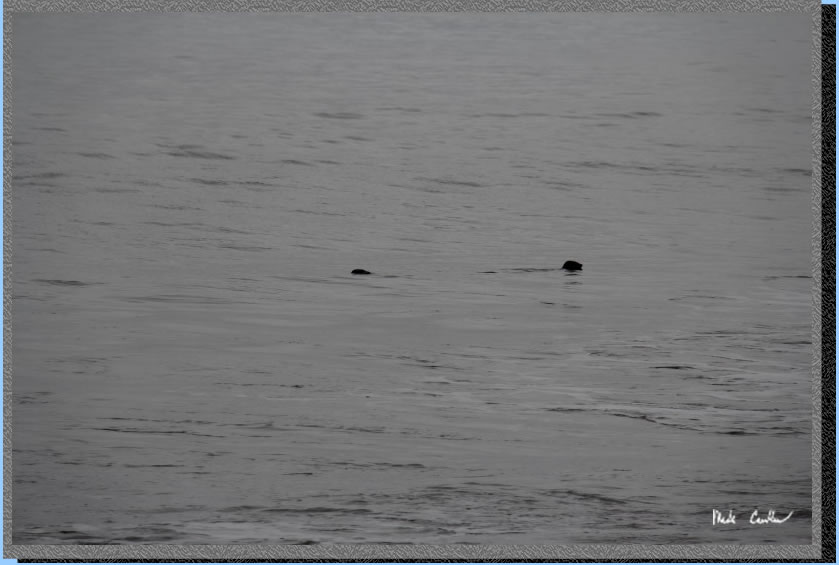
We also saw some seals playing
in the surf, the light wasn't the best but the rock looking things are
seal heads. One would poke his head out and watch us before heading
back out into the surf, just to ride the waves back in.
We headed back to camp, Sarah
was a little tired from the hike in and playing on the beach.
We had a good dinner before heading to bed that night. We heard some
raccoons that evening, but I never saw one. Our food also made it through
the night without being attacked by any mice. I kept our shoes and packs
in the tent with us, but I made sure that all food and toiletries were
in the locker.
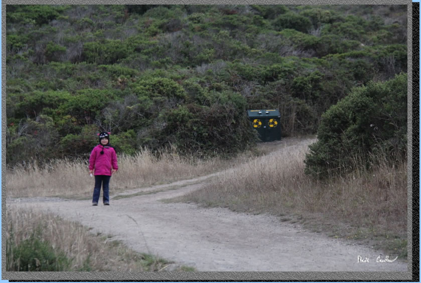
We woke up and packed up
some before heading to the beach to check out what might have wash ashore
overnight.The pink cat is Sarah near the trash cans/recycle can on the
way to sites 1-7.
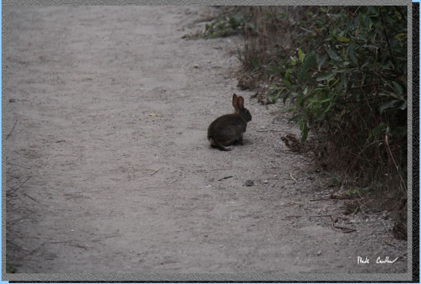
Here is the other animal
you may hear around camp. There are many of these wild rabbits. I have
even seen their tracks out on the beach on past trips..
Back on the windy beach. There was a big group of backpackers that packed
up early and headed down to Limantour Beach. Once they headed out, we
had the beach to ourselves on this Friday morning. One thing that washed
ashore was a neat kind of jellyfish called a sail jellyfish. It is a
light blue and has a sail that it uses to ride the wind. It has no self
propulsion, so is at the mercy of the currents. Once home I looked them
up and it sounds like they periodically wash ashore when the currents
change. Lookup Velella Velella or "by-the-wind-sailors" to
see some articles about them washing ashore this year from here to Washington.
We headed back to camp and headed out on the Fire Lane Trail this time.
It is shorter but much steeper than the Coast Trail. The Coast Trail
is basically flat though so anything is steeper. Both options are easy
trails.
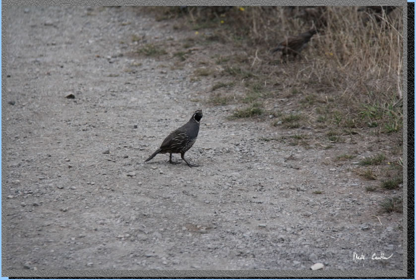
There were many families
of quail out on the trail both days. Here is one keeping an eye on us.
On the way back hang your first right for the Fire Lane Trail. Look
back occasionally to say goodbye to the ocean views. This is the junction
you take a right at (left would be the Coast trail you came in on).
Here is my last shot of the ocean on the way out. You can still see
the giant tree near Coast Camp. If it ever falls down I may never make
it to Coast Camp again :-)
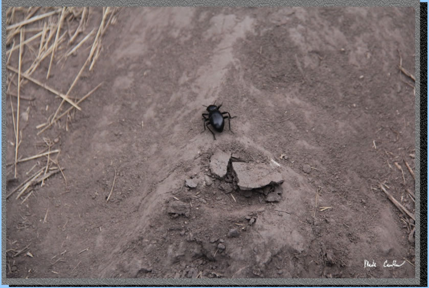
The trail is uncovered the
whole way out. Here is a giant beetle that we saw on the trail. We also
found many dead ones and Sarah had numerous theories on why.
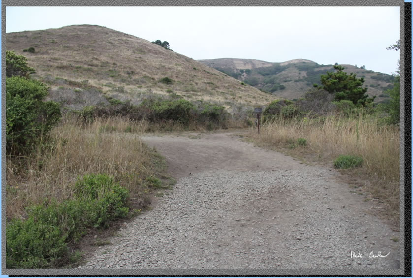
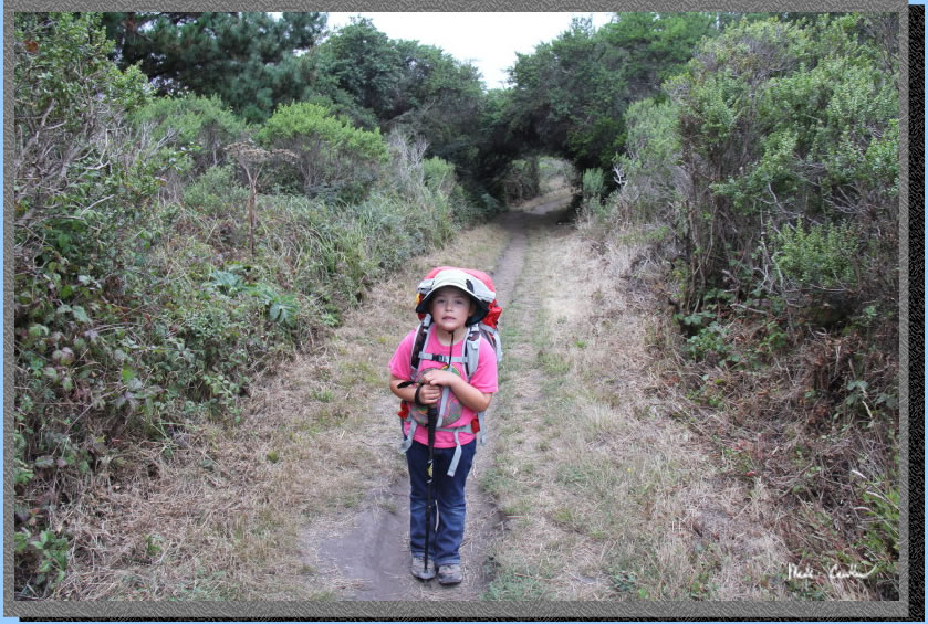
The trail is generally up
on the way out until you get to the top of the ridge (we are talking
less than 400' though). You pass one junction for Sky Camp, stay left
onto the Laguna Trail now. We then hiked down to the Laguna Trailhead
(that has a nice parking lot, but no other facilities) and then on the
road to the Coast Trailhead where our car was still parked. Here is
Sarah after I made her slow down for a picture. This is a great trip
for groups, families, or just to get a quick trip in. Be prepared for
cool evenings when the fog rolls in, but other than that it is simply
great out here.
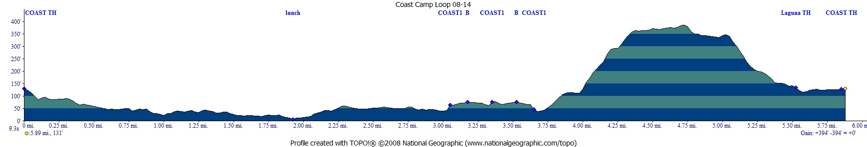
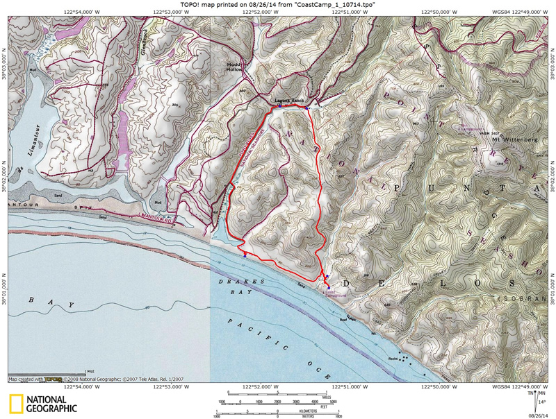
Red line shows the path we
hiked from parked car at Coast Trailhead in a counter-clockwise loop
back to the car. Elevation profile below map. Click either for a larger
version.
. 
(back to top)