![]()
Day 1, Day
2/ Day 3, Day 4/Day 5
map/profile
There is a little
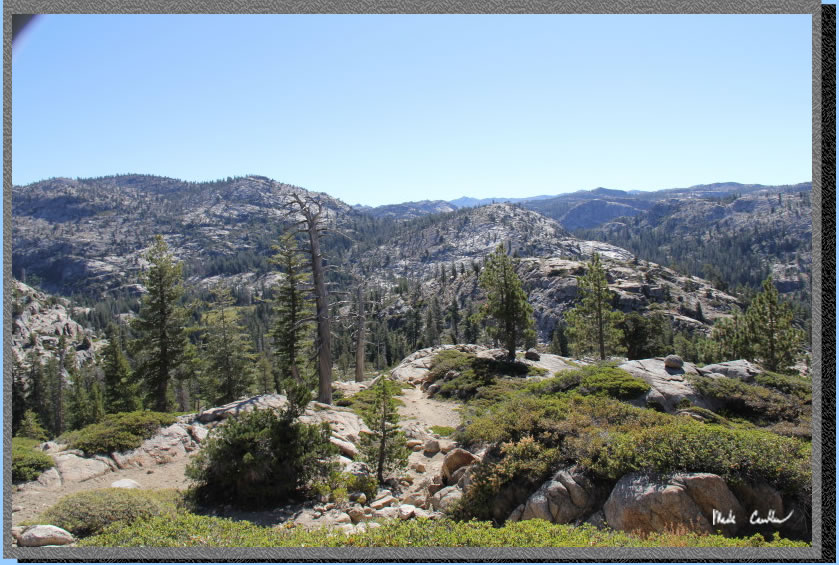
uphill section as you leave Lilypad Lake but then it goes down into
Piute Meadow. This is the area that I saw on fire 5 years ago.(see trip
description for Piute/Camp Lake). The trail
opens up out here to really get a look at what Emigrant Wilderness is
all about.
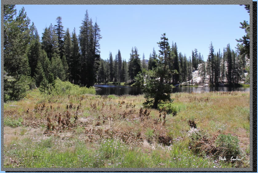
Enjoy the flat section of
Piute Meadow as the
next section is up again to Piute Lake. Our goal this day was Gem Lake
(we told people we met on the trail Emigrant Lake to make us sound cooler,
ok maybe we didn't). Here is Piute Meadow. You cross Piute Creek which
was also dry.
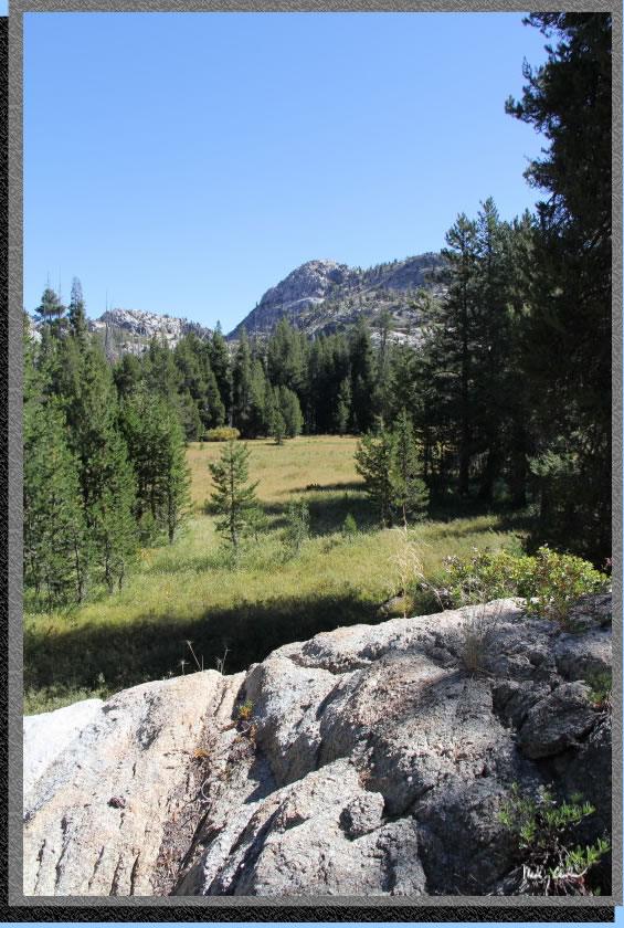
You could see evidence of
fire and also the forest recovering. Make sure you continue straight
at the next junction unless you are headed to Groundhog Meadow/Pine
Valley.
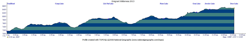
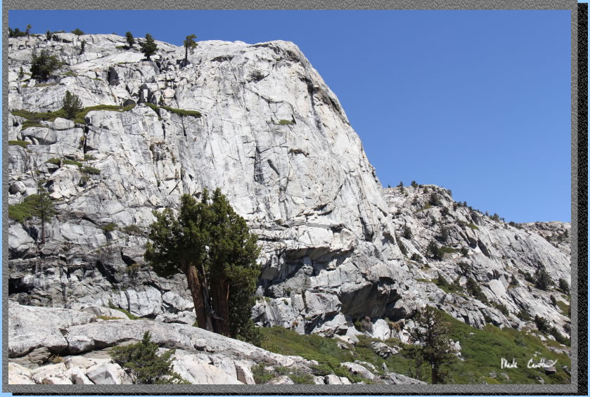
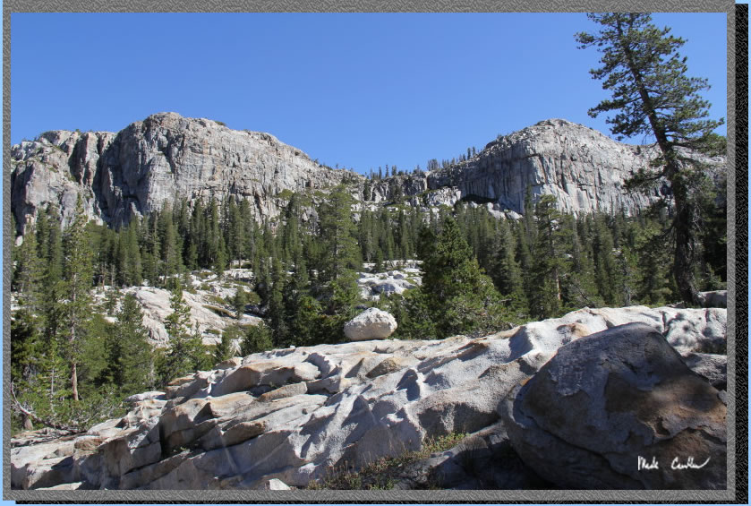
The ridge on the left gets
grander the farther you travel on this trail. Can you see the man's
face?
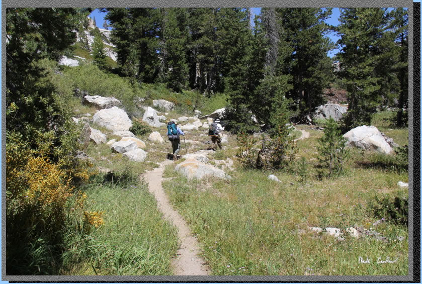
After some up and then a
little down the trail evens out and you get to Piute Lake. There are
a couple sites on the northeast side of the lake (a little bit in from
the lake). We stopped for lunch here and to get a little more water
(well not here, more around to the left under the trees).
You cross Cherry Creek (also
very dry but had one spot you could filter in a pinch) before you start
your ascent. Here we are starting up the steep section to Gem Lake.
The trail levels off again
before you reach Gem Lake. No the dried up pond thing out there is not
Gem Lake!.
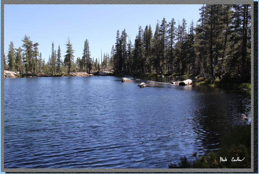
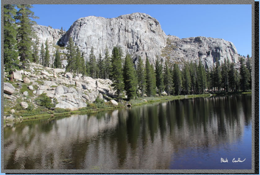
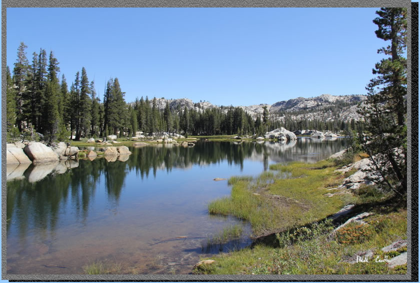
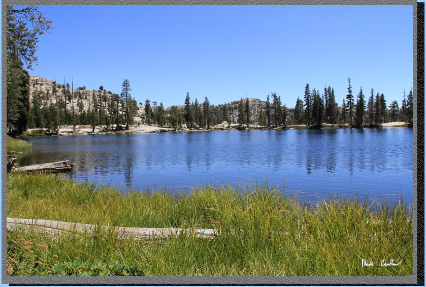
Here is Gem Lake. We camped
at a lovely site with many trees and a good view of the ridge behind
us (no lake view though, as was pointed out to me a few times).
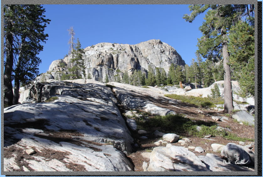
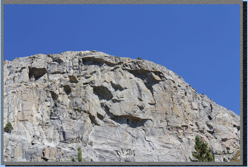
Here is the granite ridge
behind our site. It looked like a mini El Capitan to me. The ridge continues
on to the east even though it looks like a granite monolith here.
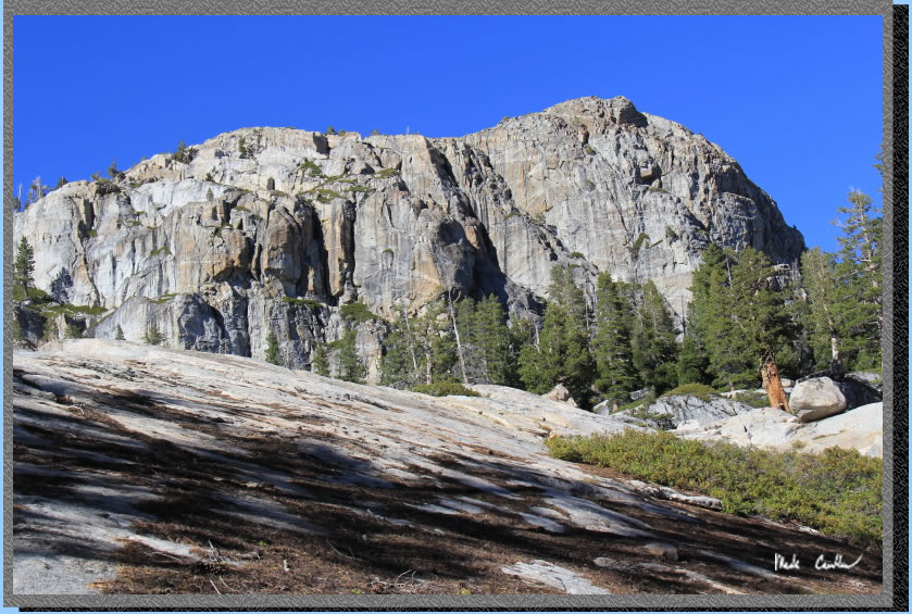
Another shot of our granite
giant.
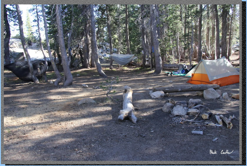
Here is my tent setup at
camp. We decided to use this lake as out base camp for 2 nights since
we liked the site so much. This site and one other were the only ones
I saw while we were out here. We did see a lone backpacker head to the
south shore and camp our second night. We did not really explore that
section of the lake so maybe there is a killer site out there.

You can see the hammocks
in the trees in this shot. Weather was awesome with it being cool enough
to get in your sleeping bag but no dew/rain at all. Only blue skies.
We had a fire on our second night out here. Fire restrictions were in
place for anything above 9,000 feet but below that (and away from Emigrant
Lake) you could have a campfire. We kept ours small and put it out well.
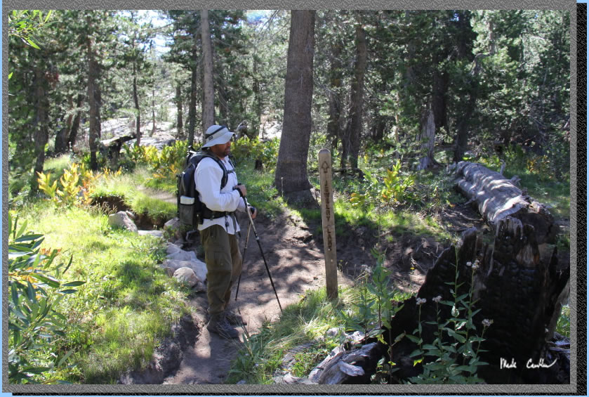
The next day we hiked to
Jewelry and Deer Lake. There is a junction on the east side of Gem Lake
for Buck Meadow. Continue left to Jewelry Lake. You can see on the profile
that the terrain is much milder now.
Follow the ridge to Jewelry.
There are a few sections where the trail crossed some granite but route
finding is pretty easy out here.
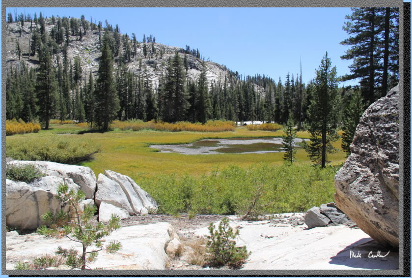
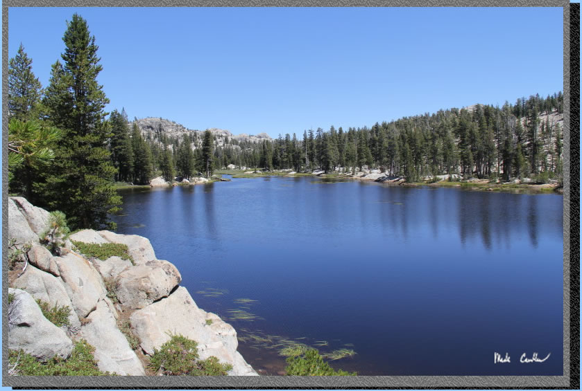
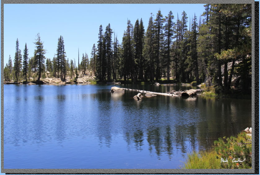
Here is
Jewelry Lake. It looked nice but we heard that Deer Lake was even better
so we decided to carry on to Deer Lake for lunch.
We saw this big eyebrowed
face on the granite.
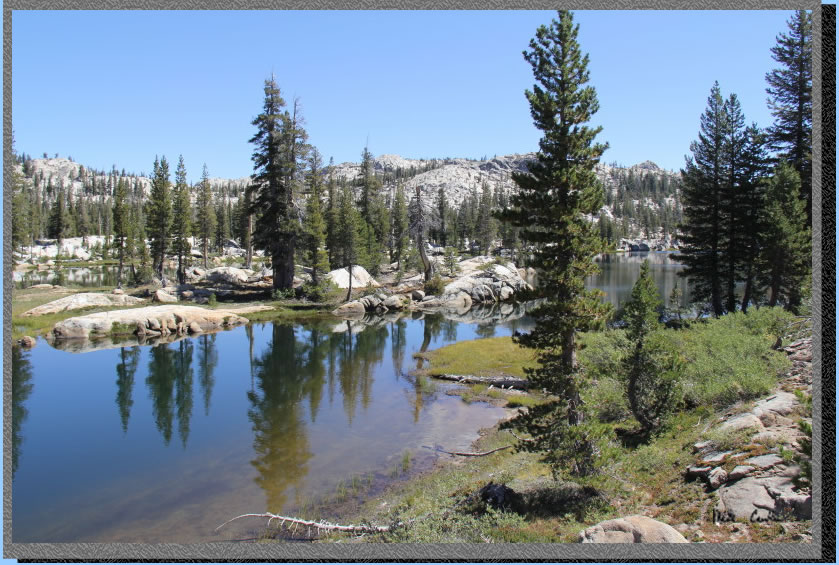
Here is Deer Lake. It is
hard to tell from this shot but this lake is pretty large. It bends
around the right and then back around (this thing in the middle is actually
an island).
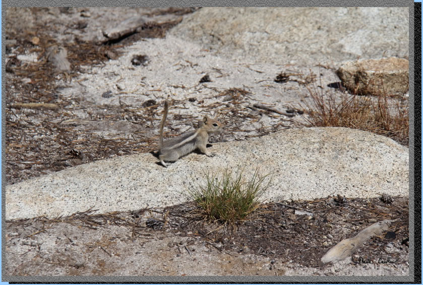
We had lunch and I watched
this little guy run around everywhere. I think they are called Golden
Mantled Ground Squirrels.
Here is another shot I took
before I decided to take a swim. The channel between the island and
the shore was deep and we watched some good size fish swim by. We heard
from some fellow backpackers that fishing at this lake is good. The
lake widens out to the east. The water was cold but felt good.
Here is another shot looking
west. There was enough water coming out of this lake that we filtered
there. The stream that runs from Deer to Jewelry looks like you might
be able to float it at certain times of the year... That would be pretty
cool.
We headed back to our camp
at Gem lake with enough time to chill around camp before dinner. Leo
and Dan swam in this lake and said it was great. The granite on the
east side of the lake (far side in the shot below) provided the best
entry (and also the best water filtering spot). With water levels low
you had to be careful not to stir up the sediment when you filtered.
We are thinking that a collapsible bucket might work better in conditions
like this. It would give the water a chance to settle and you could
filter right at camp.
Gem Lake was our favorite
lake on this trip. So the next day we were headed out to Lilypad Lake
or further to Camp Lake? Read on to see where we end up for our last
night. Continue to next page.
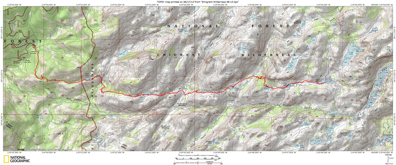
Map and profile
show
trip in from Crabtree Trailhead to Deer Lake. Click either for a larger
version.
.
(back to top)