![]()
This trip was
my friends Zakk and Jenn's first backpacking trip and we had a blast
(even though we froze 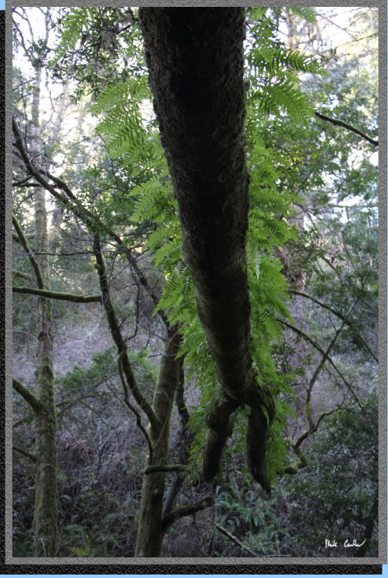 our
butts off). Eric and Leo helped me make sure their gear was in order
before the trip and then Eric and I accompanied them on the trip (Leo
decided to get a cold and was not able to make it). Point Reyes National
Seashore offers a number of camping options (see previous trips to Coast
Camp, Wildcat Camp).
our
butts off). Eric and Leo helped me make sure their gear was in order
before the trip and then Eric and I accompanied them on the trip (Leo
decided to get a cold and was not able to make it). Point Reyes National
Seashore offers a number of camping options (see previous trips to Coast
Camp, Wildcat Camp).
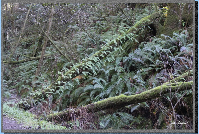
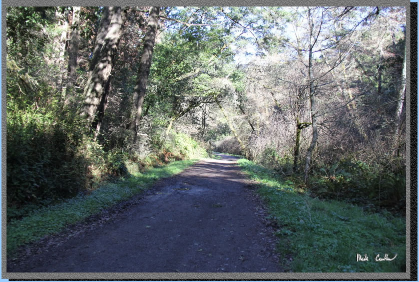
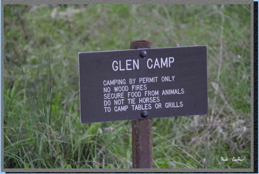
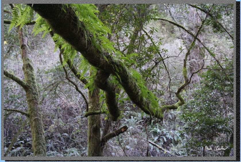
We decided on Glen Camp which is a nice 4.7 miles from the Bear Valley Visitor Center (see map and profile below). The gps recorded it as 4.7 but when I downloaded it to the computer it now says 5.1 (I hate to doubt my gps/computer but I think it is closer to 4.7). The trail is easy as far as route finding and elevation gain. Glen Camp is also the least used of the backpacking sites, but even on this especially cold Saturday night it was nearly half full. The other more popular sites do sell out for the weekends so reserve your site early. Glen Camp has potable water from a water faucet and two pit toilets. There are also garbage and recycling cans. All sites have picnic tables and grills for charcoal fires. You are only allowed to use backpacking stoves or charcoal. No wood fires are allowed unless you are having one at the beach below the high tide mark. There are restrictions on the size and type of wood you burn if you have a beach fire and you need a special permit. Camping permits can be obtained through www.reserveamerica.com. Permits must be picked up from the Bear Valley Visitor Center on your way in. If you are arriving outside of the visitor center's hours they will post permit outside for you. I always, always recommend calling ahead for current conditions. Finding out if you are going to have a route change, due to a trail closure, or have to pack extra water, as your source is no longer, is mission critical stuff so call and get the latest from a ranger a day or two before your trip (415-663-8054). Shot is of tree limb over the trail with ferns growing on top of it.
So the forecast was COLD.
It was supposed to be unusually cold this weekend so we all packed a
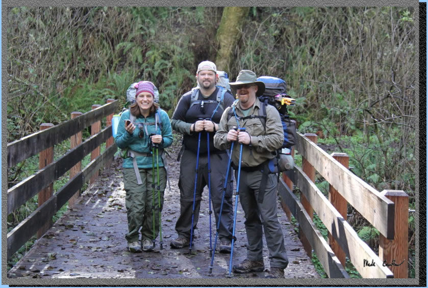
few extra warm things. We checked into the visitor center and got our
permit. They want you to attach the permit to a pack and then to a tent
when you arrive at camp. There are some nice displays in the visitor
center so check it out. Bathrooms with running water are just outside
the visitor center as well. You are supposed to use the gravel lot for
overnight stays and display the parking permit on your dash. We were
getting ready to go when a nice ranger chatted with us about current
conditions and our hiking plans. He also checked our permit (so don't
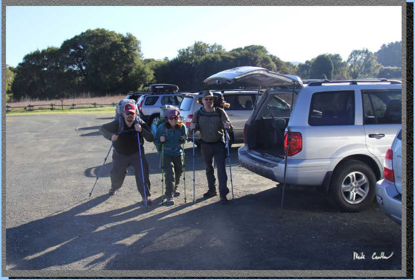
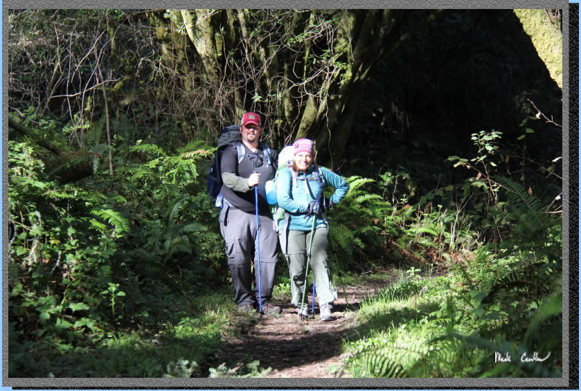
think that you don't need one!). Here are Jenn, Zakk and Eric ready
to get moving. We did a quick map check, started the gps and hit the
trail.
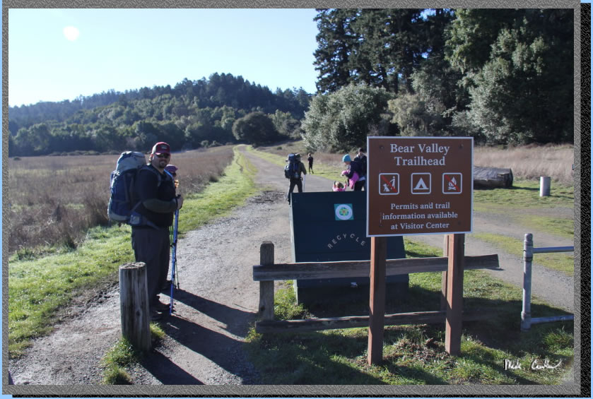
The quickest way to Glen
Camp is to use the Bear Valley Trailhead to the Bear Valley Trail to
the Glen Trail to the Glen Camp Loop. According to the map it is 4.6
miles each way. Here we are leaving the Trailhead and heading out on
the wide and open Bear Valley Trail. There were a surprising amount
of people out on this first section of trail. I imagine in good weather
it could be crowded.
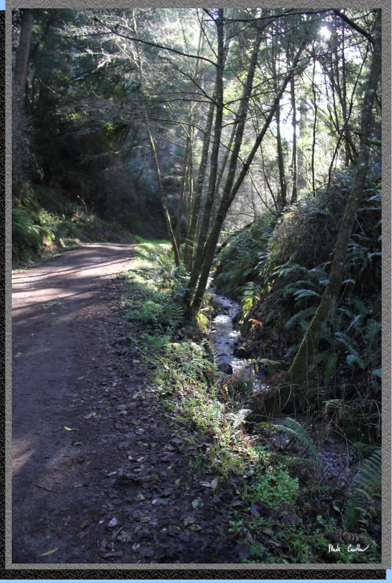
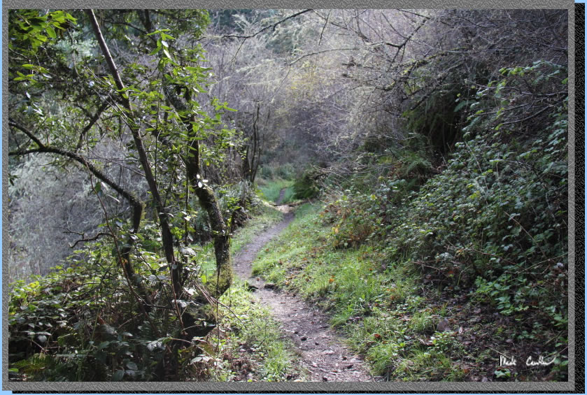
The trail is very gently
up/level to start and then you get along the creeks and although the
trail feels more like a dirt road it feels more trail like because of
the tree cover, ferns, and creek.
The creek is called Coast Creek on my map as it nears the ocean, but
I am not sure if it stays the same name when it starts out. The majority
of this trail is covered except for the Divide Meadow and the area near
the trailhead. Here is another shot of the Bear Valley Trail as you
travel along the creek. You are in a valley as well, so the sunlight
has many obstacles to get to you.
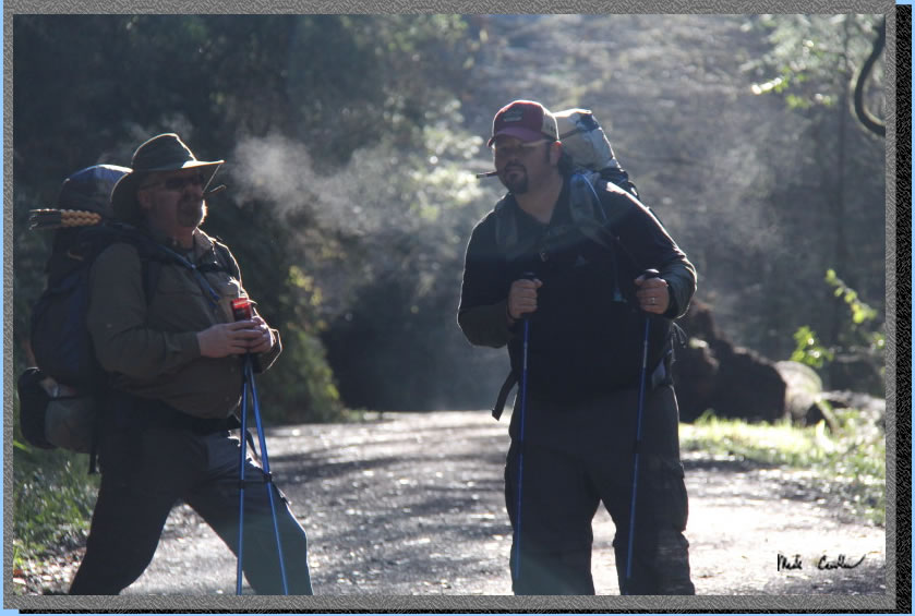
This shot of Eric and Zakk show how cold it was. It looks like they
are smoking, but they are really only breathing while they were waiting
for me to catch up after taking some pictures.
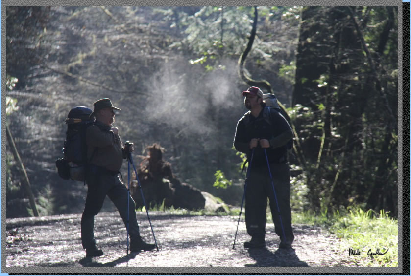
Hannibal, I mean Eric, handed out some cigars as props to use with the
breath clouds forming around them. You will have to trust me that they
were not lit, because it really looks like they are in this shot.
This shot shows the "road" nature of the trail. It is nice
that it was wide though as bikes are allowed on this trail, and the
extra space allows them to pass.
Stay left at all junctions (Wittenberg Trail, Meadow Trail and Old Pine
Trail) and you will find yourself here at Divide Meadow. There are bathrooms
here a the junction of Old Pine Trail.
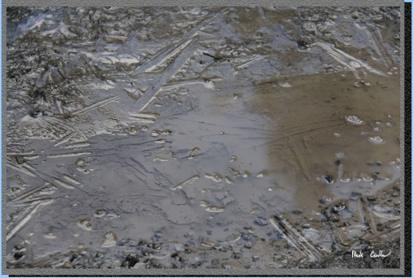
Out in the open section there
were some puddles that were still frozen. This was the middle of the
day in the sun!
Here is a shot looking backwards again on the way in. You can see how
exposed this section of the trail is. It was nice to be out in the sun
though to warm up.
Back into cover now we came across this tree with a hole in it...
Everyone wanted a picture of that hole!.
At the junction with Baldy Trail take a left over a bridge to Glen Trail.
Here the road disappears and you feel like you are on an actual trail.
No bikes are allowed on the Glen Trail. There was a bike rack though.
Again there is decent cover through this section as well. I imagine
it is a nice trail when it is warm but today it was not, so we would
have preferred some more open sections. 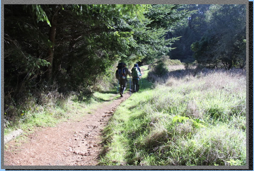
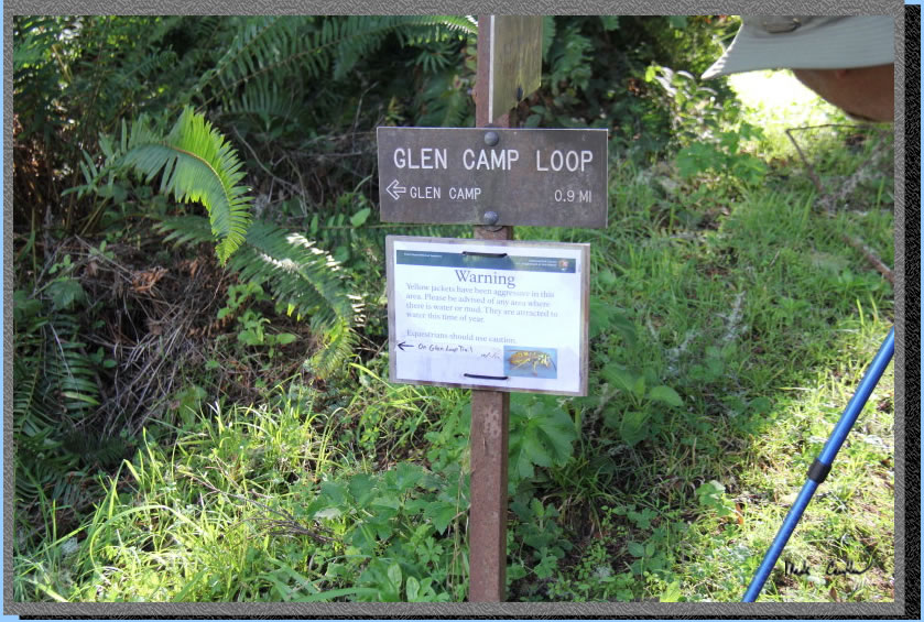
Before we knew it we were
at the Glen Camp Loop Junction (a couple uphill sections to this point
but nothing too bad). Take another left (see a theme yet) down the hill
but watch out for aggressive wasps. The sign says that they are out
near the trail (sign dated October). We did not see any wasps or any
bugs really.
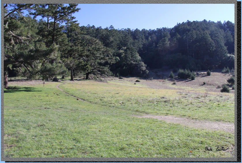
We made it to Glen Camp.
There was a little more uphill, but again nothing too bad. We were the
only ones when we hit camp and thought we might have the place to ourselves.
As it turned out that would not be the case.
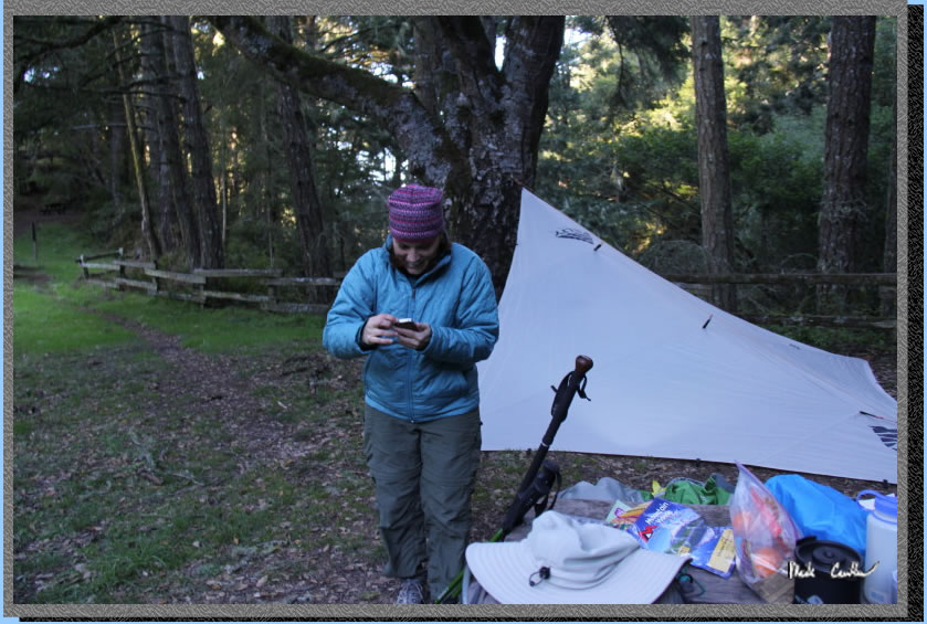
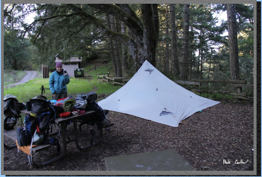
We had some lunch and then
setup camp. Jenn and Zakk setup their tent and Eric and I setup his
tarp. We decided that a tarp would be good if the wind picked up and
also to keep the frost off of us. We setup at site #2. I think site
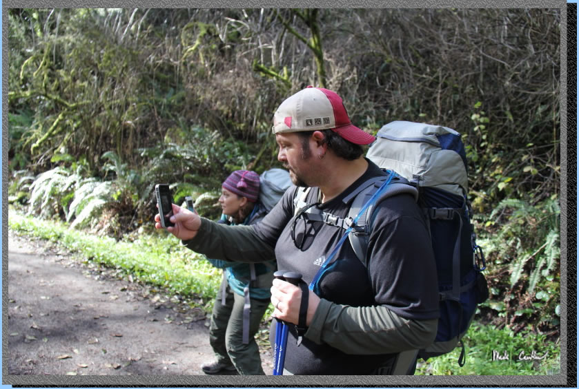
#5 is the best as far as cover and privacy. I think Jenn is trying to
check her work email or something. Sadly there is no cell phone coverage
out here, so no work today.
Here is Zakk looking surprised.
I am not sure why... Probably best not to know.
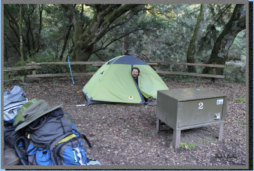
Here is site #3. It looked
much bigger in the pictures on reserve america's site. Of course it
didn't have the mole hills either..
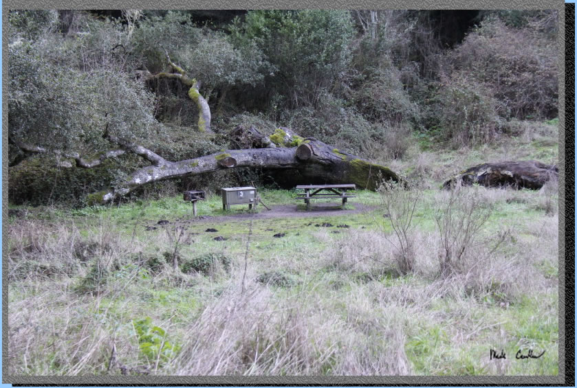
The ground was damp from earlier rains in the week, and areas that were
out in the open had evidence of frost as well. The table was used as
gear storage as well and seating. The raccoons were out that night but
not as bothersome as I have seen them in the past. We kept food with
us at the table in view or in the locker. Do not sleep with food or
good smelling items or the raccoons are liable to be in your tent according
to the rangers. I have lost stuff to raccoons before. They can be tricky,
right Leo!
We ate a late dinner and decided to heat some water to sleep with in
nalgene bottles. This is a trick we usually do in the snow to stay cozy.
I threw mine into my bag to pre-warm it before I tucked in for the night.
Make sure not to put it against your bare skin though (at least until
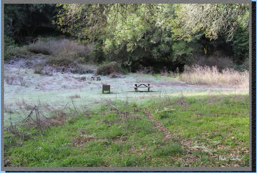
it cools off some). We got a late start out of bed as it was cold and
our sleeping bags were warm. I looked up the weather when we returned
home and it said this area had a low of 23 that night. I think it was
near that as it was damn cold. Here is the site in the middle covered
in frost the next morning. Our site had enough tree canopy to protect
us from the frost. We explored some of the other sites before we left
and there was ice in open sections.
We packed up and eventually
headed off. I was able to hike out in my base layer and my normal long
sleeve shirt/pants with gloves (and not even once think about shedding
a layer). This is usually something only possible in cold snow conditions
for me.
We had a good pace headed out with the majority of the direction being
downhill.
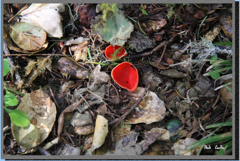
Besides the one racoon we saw the night before (his eyes shining back
at us) we didn't see anything else but birds. Here is a cool mushroom
I saw (I did not take a bite though)..
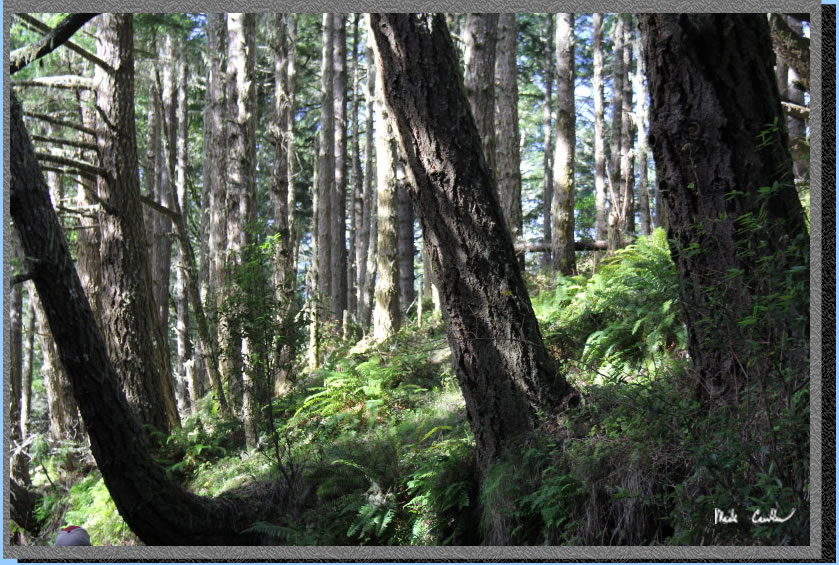
It wasn't the best trip for
pictures. The lighting wasn't great and I was trying to keep moving
to stay warm so didn't want to stop unless I really wanted a shot. The
amount of green on this trail is amazing, this shot shows that against
the brown trunks of a few trees.
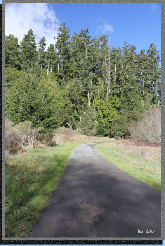
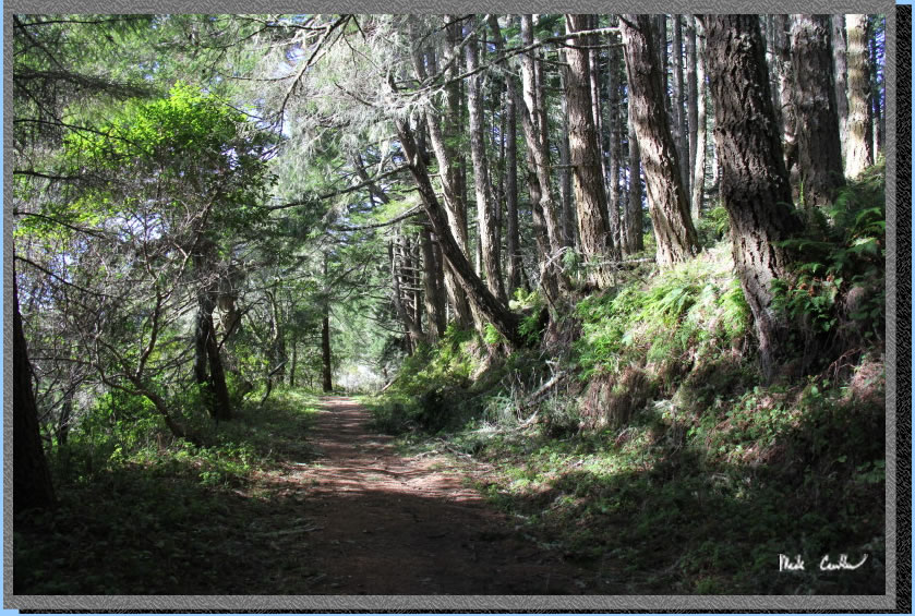
This is really a great trail
and would be great for anyone ready to hike the 4.7 -5 miles. It is
also a good jumping off point to Arch Rock or WildCat
Camp. Here is another shot of those same trees above.
We ran across this booby
trapped tree. See the limbs just barely hanging on. I actually "pinata
style" hit one with my walking staff and it came right down on
the trail. It is always a good idea to look up before setting up camp...
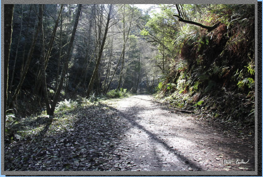
A shot of Bear Valley Trail
on the way out. I liked the way the light was filtering through the
trees.
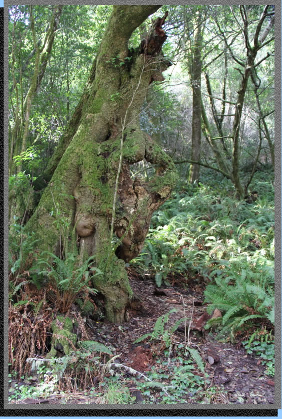
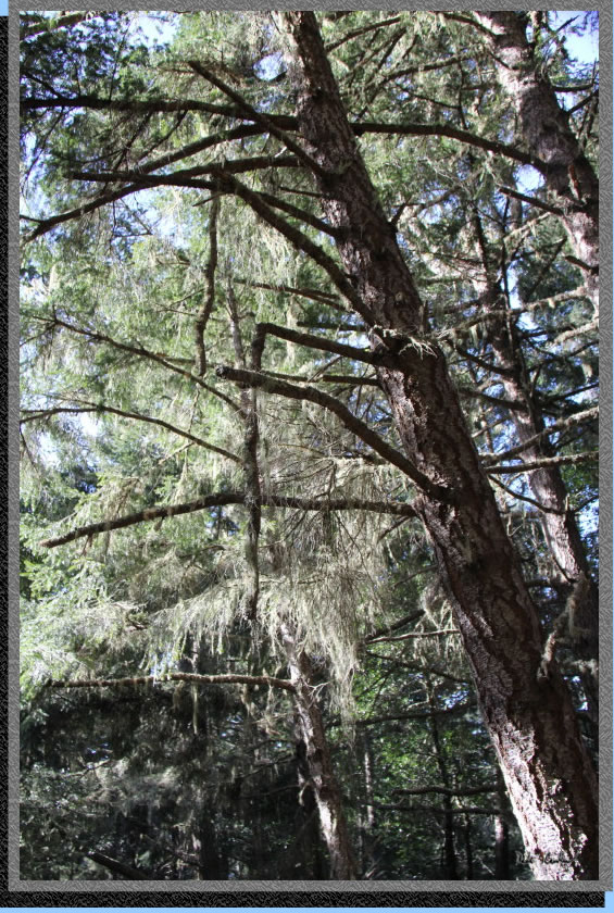
My favorite overhanging trunk/branch
was this one. It must have 100 ferns growing on top of it!
So overall this was a good
trip. It was a little cold and we would have liked to do a day hike
from camp but ran out of time to do it safely (getting dark at 5 makes
for a short hiking day). I think Coast Camp
and WildCat Camp are better overall (even though you will see more people).
Glen Camp is a nice backup plan though if the other two are booked.
I haven't hit Sky Camp yet but should do that next so I can say that
I have seen them all.
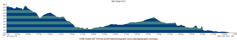
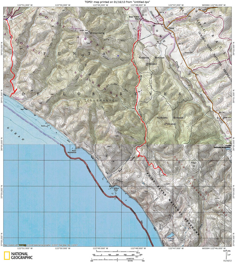
Red line (on right) shows
the path we hiked (red line on left is trail to Coast
Camp). Elevation Profile below map clocks it at 5.1 miles each way
(I think it is closer to 4.7). The profile shows trip from Glen Camp
to Gravel lot at the Bear Valley Visitor Center. Click either for a
larger version.
. 
(back to top)