![]()
We were supposed
to be 4 to 6 strong on this trip. Only the heartiest and bravest of
the group ( Leo and I) made it on the trip,. It seems that some in our
group were afraid of the forecast calling for precipitation, like it
rains hard near Santa Cruz... 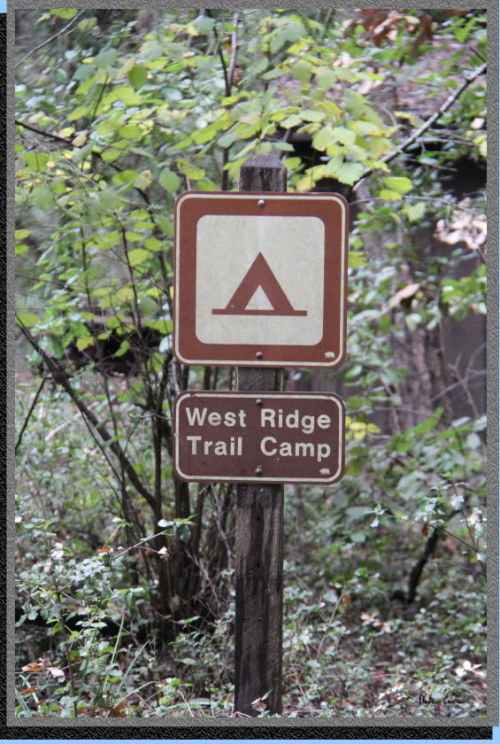 The Forest of Nisene Marks State Park is great because it is seldom
used and open year round. You need to check in with a ranger and let
them know that you are coming. I left a message for a ranger at 831-763-7064
and a nice ranger called me back on the weekend. She took my information
to give to the ranger in charge of the Forest of Nisene Marks SP since
I would be parking overnight, but reservations are not required. The
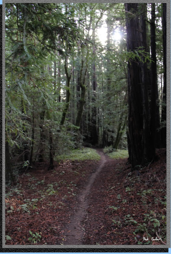
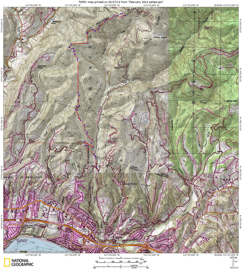
trip from trailhead to camp is about 6 miles, see map
below (gps is from this trip out here 2 years
ago). The direction to camp is generally up and well covered by second
growth redwoods. We had a forecast that included rain that night and
all the next day. It was storming early in the week as well, so any
additional rain was sure to make conditions good for testing gear. This
is a dry camp with no good water possibilities along the way (except
for a creek almost at the start of the trail). We packed in extra water
for that evening at camp and the way back out. The trail camp lists
6 spots in the official
map/guide but we have never found sites 5 and 6... Tables are provided
at each of the 4 sites with an outhouse and trash can for the camp and
trail goers. There is one site right on the outhouse and the others
spaced around it. Site #4 is the one furthest away. All sites are sloped
slightly, but the entire trail camp has great redwood tree cover. The
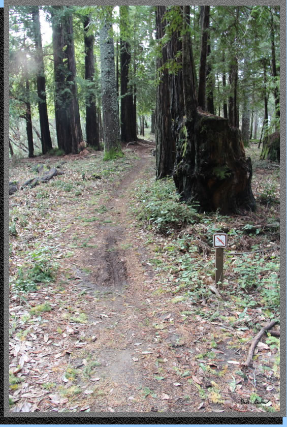
one downside to this trail is that bikes are prohibited from using the
trails (signs posted) but many choose to use the trail against the rules.
The trail is predominately a narrow single track with many sections
steep on both the uphill and downhill side, so if a fast moving bike
approaches there is nowhere to safely get out of the way. Bikes are
allowed on the fire road and trails in the demonstration forest to the
north. Picture is of sign at camp.
The Forest of Nisene Marks State Park is great because it is seldom
used and open year round. You need to check in with a ranger and let
them know that you are coming. I left a message for a ranger at 831-763-7064
and a nice ranger called me back on the weekend. She took my information
to give to the ranger in charge of the Forest of Nisene Marks SP since
I would be parking overnight, but reservations are not required. The
trip from trailhead to camp is about 6 miles, see map
below (gps is from this trip out here 2 years
ago). The direction to camp is generally up and well covered by second
growth redwoods. We had a forecast that included rain that night and
all the next day. It was storming early in the week as well, so any
additional rain was sure to make conditions good for testing gear. This
is a dry camp with no good water possibilities along the way (except
for a creek almost at the start of the trail). We packed in extra water
for that evening at camp and the way back out. The trail camp lists
6 spots in the official
map/guide but we have never found sites 5 and 6... Tables are provided
at each of the 4 sites with an outhouse and trash can for the camp and
trail goers. There is one site right on the outhouse and the others
spaced around it. Site #4 is the one furthest away. All sites are sloped
slightly, but the entire trail camp has great redwood tree cover. The
one downside to this trail is that bikes are prohibited from using the
trails (signs posted) but many choose to use the trail against the rules.
The trail is predominately a narrow single track with many sections
steep on both the uphill and downhill side, so if a fast moving bike
approaches there is nowhere to safely get out of the way. Bikes are
allowed on the fire road and trails in the demonstration forest to the
north. Picture is of sign at camp.
To get to the
trailhead from Santa Cruz travel south on highway 1 to the town of Aptos.
Take the State Park Drive exit and take a left so that you are headed
north towards Soquel Drive. Take a right on Soquel Drive and after you
cross under some train tracks look for Aptos Creek Rd and a sign for
The Forest of Nisene Marks State Park on the left. It looks more like
a driveway, or entrance to shopping center, than a road. You will cross
over the tracks past a bike shop and head past some homes on your way
to the park entrance. There is one hairpin curve before the entrance.
We paid the iron ranger after filling out the form/envelope and depositing
our $5 per person per night. Rules were typical: leave no trace, no
fires, camp stoves only, no water at camp so bring some, nothing out
of the norm. We then drove to George's Picnic Area and parked. We has
an easy time finding parking, but were there pretty early (9:30 ish).
The recent heavy rains (and forecast for more) probably kept some people
away as well. There are many runners that use this trail, even the next
day in the pouring rain. We geared up and headed off. It was pretty
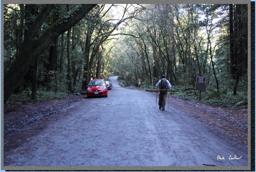
cool, so great for backpacking. The winter gate is closed this time
of year so you have to walk on the road over the steel bridge and past
the winter gate. Here is Leo walking on the road toward the steel bridge.
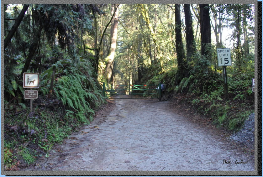
George's Picnic Area has
a pit toilet and garbage cans. Here is the winter gate (go over the
steel bridge and take a right) Continue north on Aptos Creek Road.
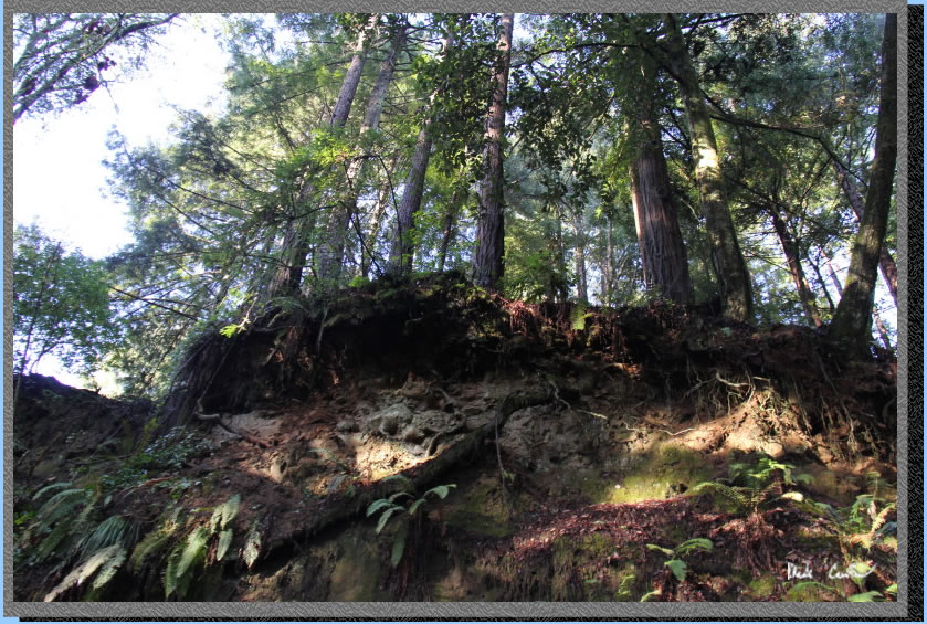
I couldn't believe these
trees hanging over the road. Erosion is a powerful thing, but these
trees are putting up a good fight. I I will be sure to take another
look at this battle next time I am out here.
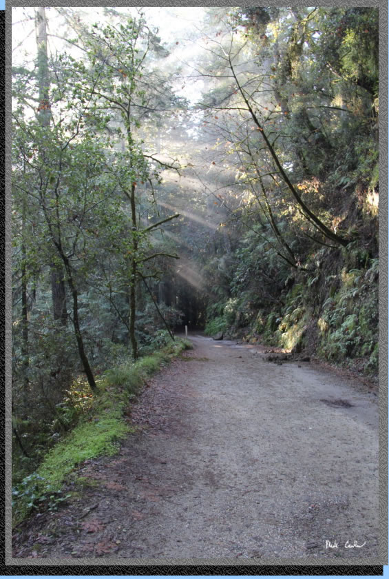
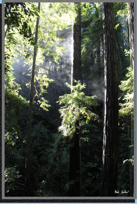
There was some cool fog/mist this morning that the sun was playing with.
I think I was slowing Leo down on this trip by constantly stopping to
take more pictures. This shot is looking back on the road toward the
winter gate.
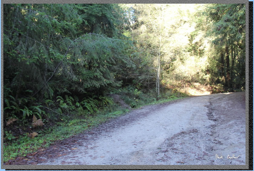
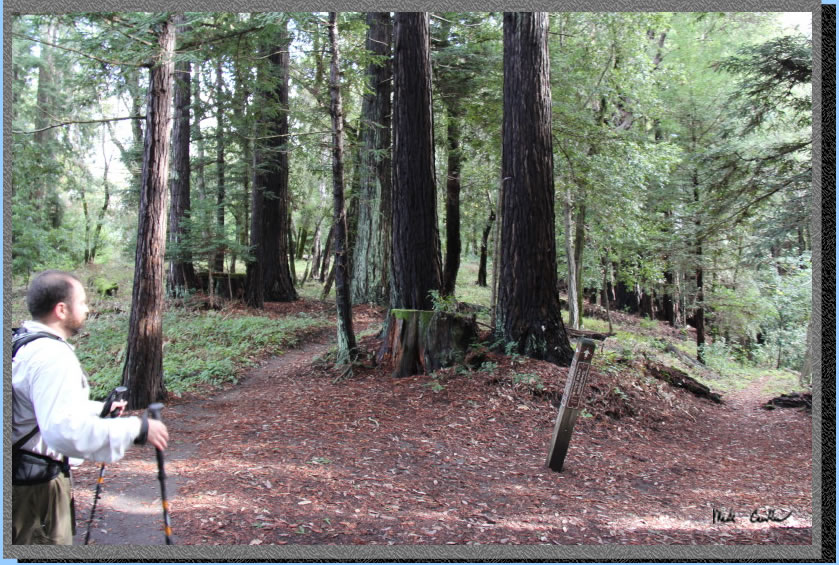
The last time we were out
here we missed the junction to the West Ridge Trail. If you look in
the shot below you can see how it is possible. To be honest we still
should not have missed it, but I think we were both too busy talking.
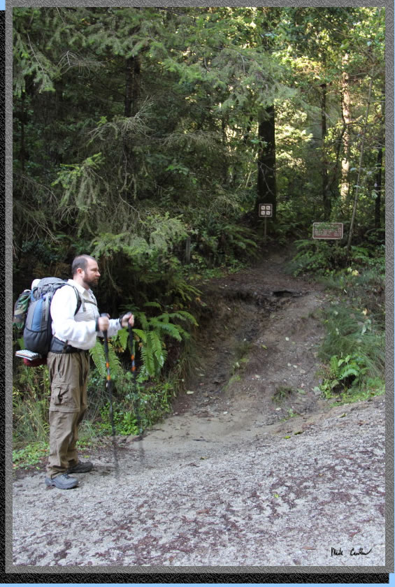
Here is another shot of the
trail junction with the road. So, as long as you look left you really
can't miss it. There are bike racks for bicyclists, since bikes are
not supposed to be on this trail.
Luckily Leo stopped so I could look behind us and grab this shot. The
mist is actually steam off the trees. Very cool.
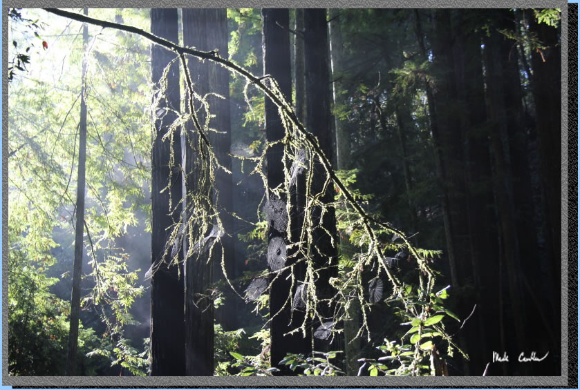
Here is another shot of the
misty conditions out here with some spiders doing a lot of work to produce
a cool look..
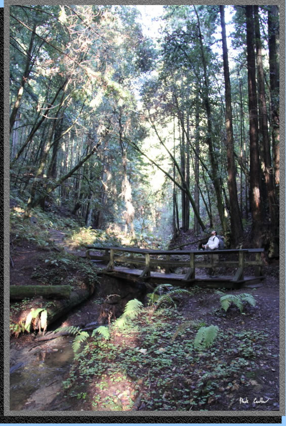
The trail follows the creek
with a bridge to help you over. The creek was flowing that morning and
really running the next afternoon. Leo is taking it all in. After you
cross the bridge and pass a bench make a point to turn around and see
there is an unmarked junction that you will stay right at when heading
to camp but take a left at (go down towards creek) on the way back out.
Here is another shot showing the different conditions you will encounter.
Everything was very green, even the tree trunks.
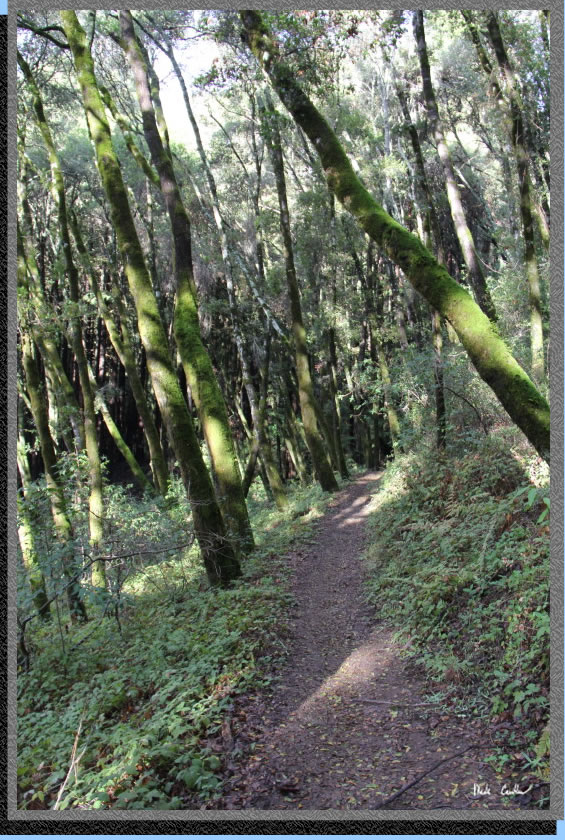
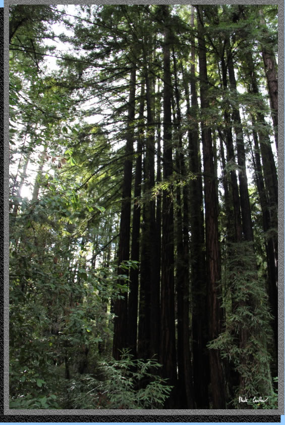
You can tell by this shot that the trail is well covered. This whole
area was clear cut between 1883 and 1923 and then "allowed"
to re-grow. Most of the trees are second growth redwoods with some eucalyptus,
oak, madrone and manzanita mixed in. One "recent" event that
happened here was the Loma Prieta earthquake centered in Aptos Canyon
in 1989.
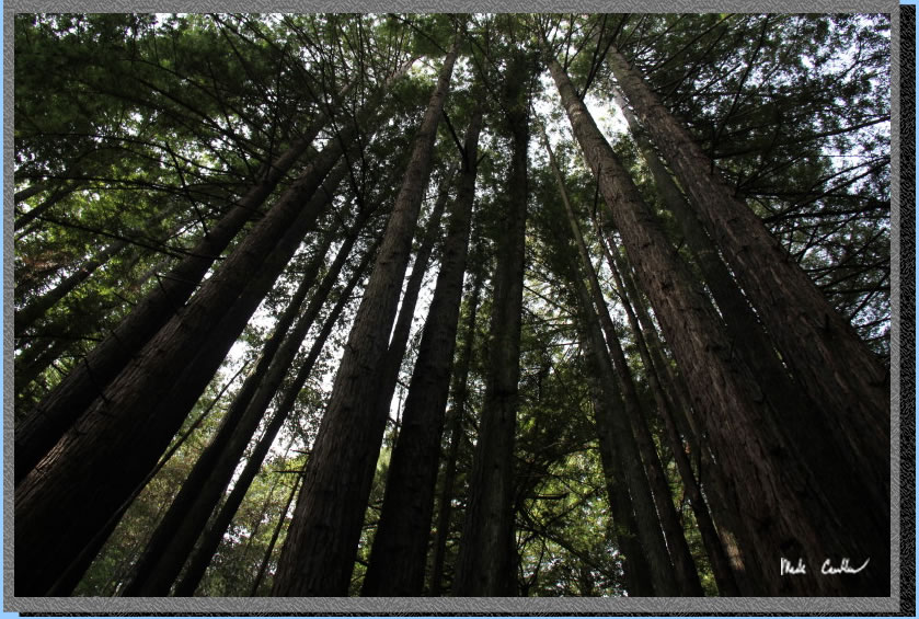
The trees along this creek are amazing. Redwoods can regrow from the
stumps of old trees through a process called sprouting. The offspring
are genetically identical to the original tree and the usually form
a ring around the original trees location.
Make a point to look up at some of the new "giants" along
this trail.
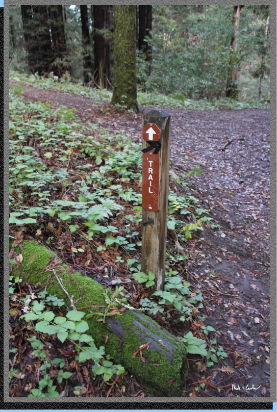
The trail is generally well marked. This is the first junction with
a spur trail that is marked. The shot shows the trail marker directing
you to the right (spur trail to the left, uphill).
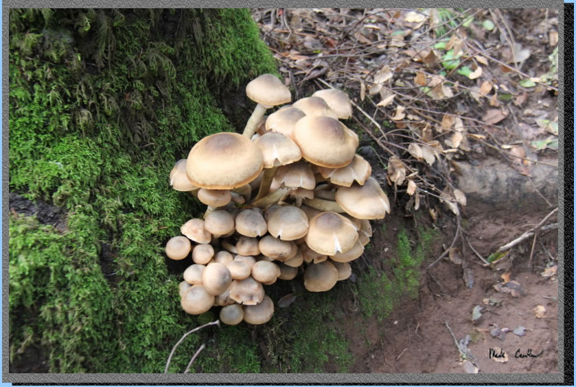
Many mushrooms along the
trail. This was one of the most perfect clusters I came across.
For as much rain as we had
the past week, the trail was in really great shape. Here is a shot of
Leo thinking about the old logging days.
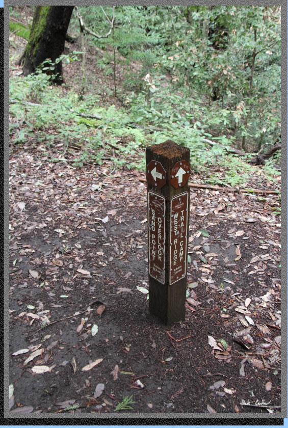
So this is the junction with
the Ridge Connection Trail. Stay on the West Ridge Trail going towards
the Trail Camp and Sand Point Overlook beyond it. If you went right
here you would be headed towards Hoffman's HIstoric Site.
The next trail junction is
only 1/2 a mile on the map. Stay left agian for the West Ridge Trail,
going right would put you on the Big Stump Gap Trail towards Hoffman's
HIstoric Site. Not a typo, both of the side trails lead you to Hoffman's
HIstoric Site.
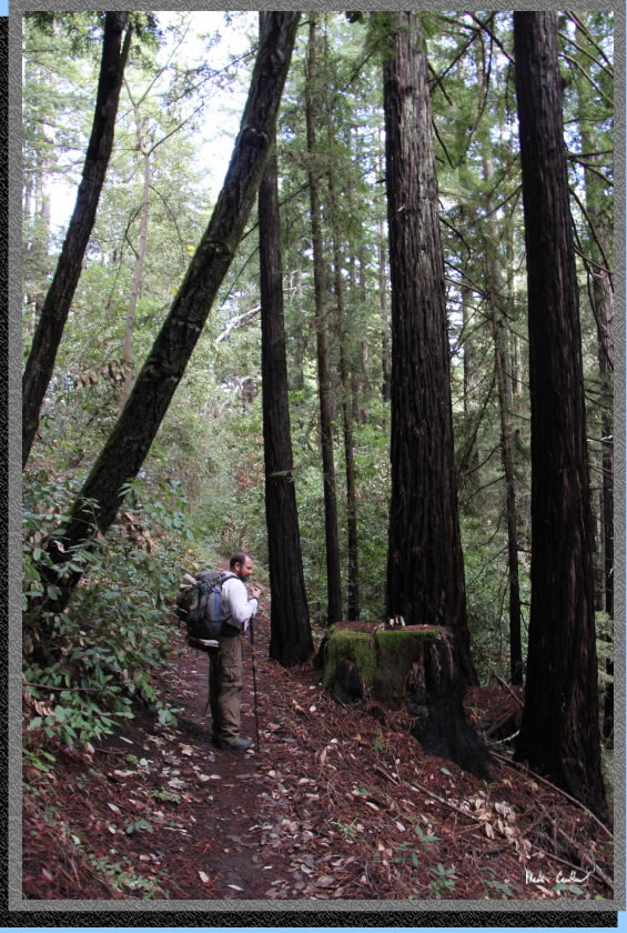
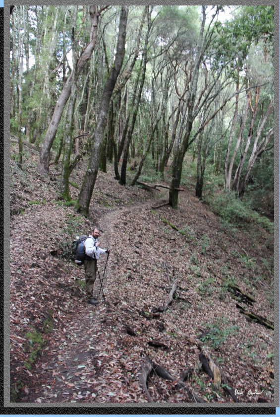
Here is Leo taking a quick
water break, and making sure I am still hiking with him.
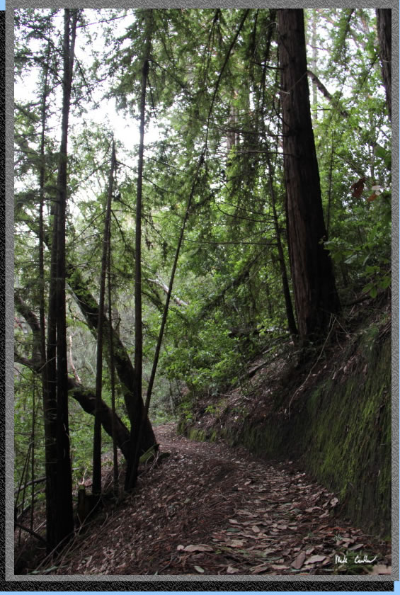
The recent storms had blown
many leaves/needles onto the trail in spots. .
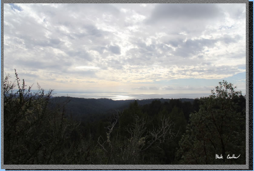
Did I mention there are
great views to be had on this trip? Here is a shot of Monterey Bay (notice
the weather approaching).
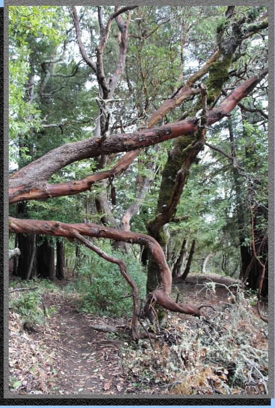
These trees just looked crazy
to me, so I had to take a picture.
When you reach the Aptos
Creek Fire Road take a left as you are almost to camp now. This shot
is looking back at the no bikes sign, notice the bike track in the mud
next to the sign.
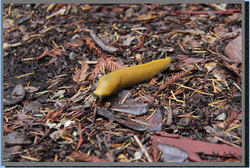
Banana slug alert! This
guy almost got stepped on on our way to camp. He eventually crossed
the trail, I think... I didn't want to wait as I was hungry for lunch.
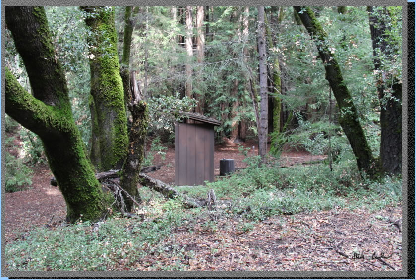
We had the 4 sites to ourselves
that night. Here is a shot of the outhouse and trash can.
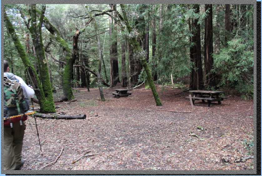
You can see 2 of the sites
below. The fourth site is further down to the left and the last site
is on the other side of the outhouse to the right of this picture.
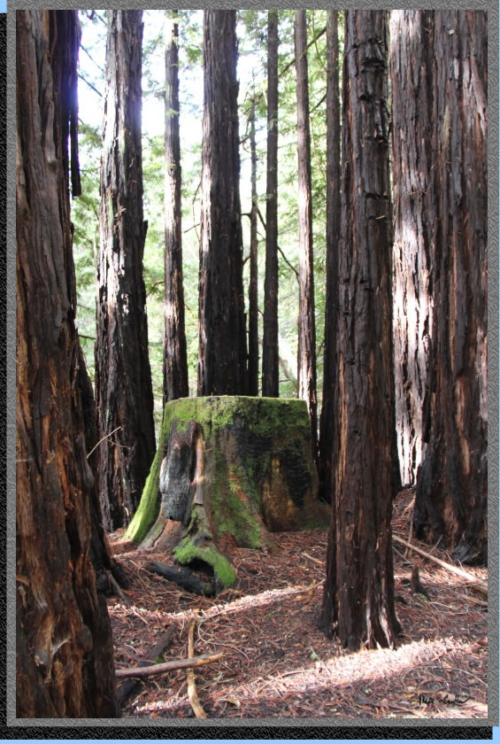
Here is the stump near site
#4 (the one farthest down the hill).
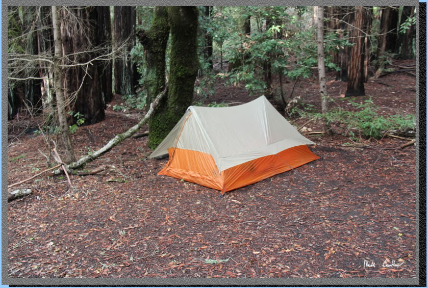
We had a late lunch and
then set up shelters. Here is my Big Agnes Scout UL2 tent. It performed
well in the rain that night and morning. We tried waiting for a break
in the rain to pack up, we ended up just packing up as the rain never
let up. This is a single wall tent with mesh under the eaves. Condensation
can be an issue depending on weather. I had no issues with staying dry
until the ground was so wet that rain drops splashed off the ground
and under the eaves onto the mesh. I was out of the tent at the time
but it appears that water could make its way in this way. I think this
is my 5th or 6th trip with this tent now and I would use it again if
rain was in the forecast. Now, if it was supposed to be crazy wind and
rain I would pick a non ultralight option or plan on a bivy as backup.
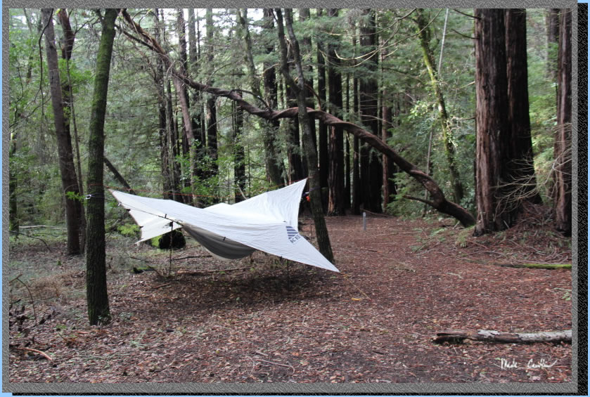
Leo used a hammock/tarp
setup. He stayed dry in his setup as well. We used the tarp to hangout
under that morning for breakfast. It was a wet hike out. There were
some muddy sections and some sections with water flowing down the middle
of the trail. There were also a couple fallen trees on the trail (one
rather large one) from the storm that night. It was a great test for
rain gear. It is nice to know that the rain gear you carry on trips
actually does work. My only issue was when my jacket worked its way
up in the back letting some rain flow directly into the back of my pants.
I quickly fixed that issue but was a little wet because of it. I had
the camera in the pack on the way out (too wet/windy for pictures),
sorry. This was another great trip and it was a blast even with the
weather on the way out. If you are looking for food in Aptos try "Burger."
on Soquel Drive, great food and friendly staff. No, I am not getting
anything for recommending them.
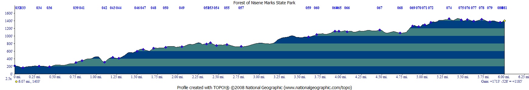
Red line (with blue dots)
shows the path we hiked in 2012 (should be about the same as 2014).
Elevation profile below map shows the way to the trail camp. Click on
map or profile for larger version.
.
(back to top)