










 Permit
- Only a fire permit is required. You can get one online here.
Permit
- Only a fire permit is required. You can get one online here.
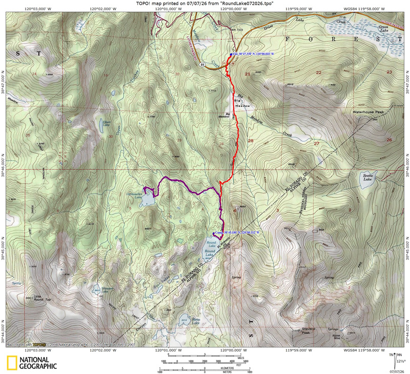
Mileage - The hike in was ~3 miles. See map/profile below.
Camps/Water/Bathrooms Facilities - You are in the wilderness so there are no facilities. There are trash and bathrooms at the trailhead. No water at trailhead
Hazards - Bears, rattlesnakes, giant mountain ants, fast mountain bikers, mosquitoes, Bubonic Plague, and one weird giant nest.
Dan and I decided to do a two-night trip to an old favorite of mine, Round
Lake. This particular Round Lake (it is a popular lake name) is in the Meiss
Country Roadless Area to the south of highway 89 (south of Lake Tahoe).
We used the Big Meadow Trailhead right off Highway 89. Camping permits
are not required, but you are required to get a fire permit and follow
leave no trace (and the current fire restrictions). This section of
trail is part of the Tahoe
Rim Trail (TRT). Mileage is
a little more than 3 miles with about 1,000 feet of climbing and 250
feet of descending leaving you 750 feet higher than the trailhead. See
map/profile below. I would rate this trip as easy,
as long as hiking at 7,000 to 8,000 feet does not affect you much. Trail
junctions are well marked and route finding is easy. This trailhead
provides plenty of options for day hikes, or extend this hike, or camp
at a different lake. For a through hike see this trip
to Echo Summit using the TRT and Pacific Crest Trail (PCT). You
can also visit Dardanelles
Lake or Scotts
Lake using this trailhead. We stayed at Round Lake both nights of
our trip and ventured to Dardanelles Lake and back on our second day.
Much of the trail to Round Lake is covered which is nice when it is
warm. The trail can be dusty in spots and is also very popular on weekends.
We went during the holiday week and there were several groups around the lake. There are plenty of sites around Round Lake so it
can still feel like you are out there by yourself. We stayed on the
north side (outlet side), above the lake. Our camp was a little more
open.
We did not fish, but heard one younger fisherman catching fish the first night (lots of " fish on").
Here
is a picture of the Big Meadow Trailhead. As I mentioned the trailhead
is located off Highway 89 which you can access either from Highway 50
or Highway 88. I think 50 is a little faster but not as scenic as 88
over Carson Pass. The trailhead does not have water so plan accordingly.
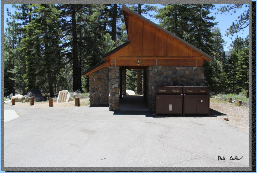
There are pit toilets and trash cans . The trailhead is on the north
side of the roadway. Here is a shot of the trash and bathroom facilities (photo from previous trip, but it looks about the same).
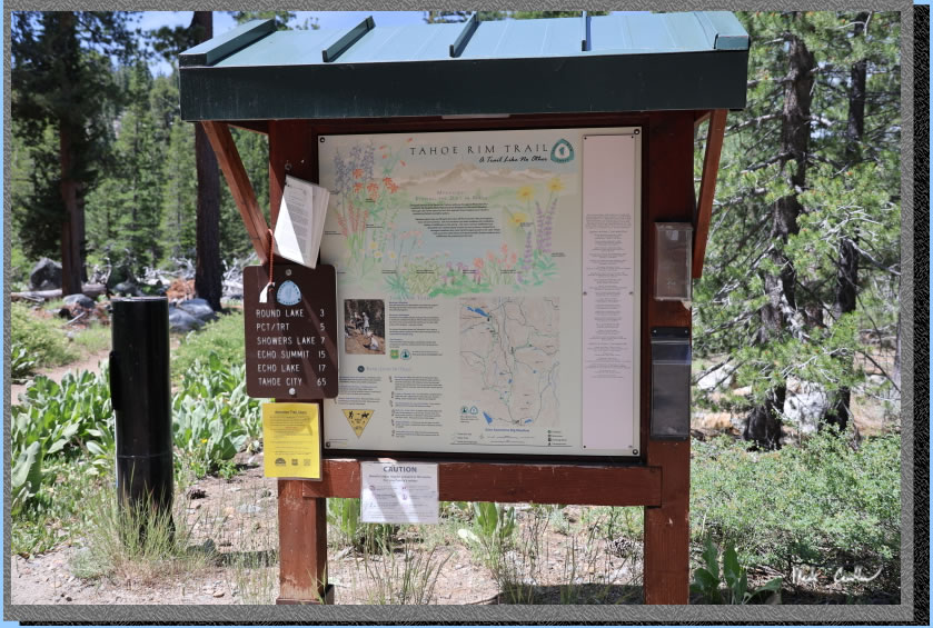
Leaving the
trailhead, headed south (towards the highway) will lead you past this
informational sign/map. Make a point of looking at it and also carrying
a map of the area. There are black bears and rattlesnakes so know how
to handle an encounter with each.
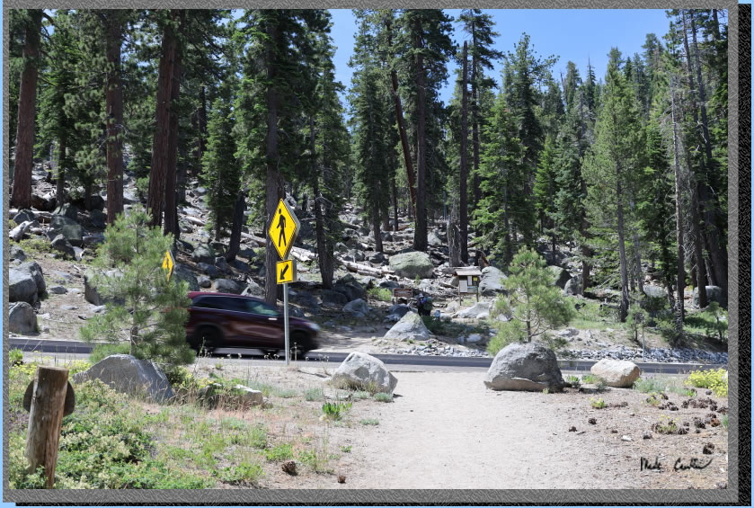
The trail crosses Highway
89 in the image below. Notice the speed of the approaching vehicles. Make sure you wait for a good gap so you actually get to hike. I find the safest
way to cross here is to use my ears as much as my eyes. The road has
a curve and it is difficult to see vehicles approaching, but easy to
hear them before you can see them. Wait until you can't see or hear
any vehicles and quickly cross the street. Crossing with a heavy pack
means you are slower and less agile, so keep that in mind.
You will hear Big Meadow
Creek once you get hiking on the other side of the road. The trail stays
to the east of the creek and goes up at a moderate pace. Mountain bikers
and horses both frequent this area so look out for both. This first section
can quickly have you breathing hard, so take your time.
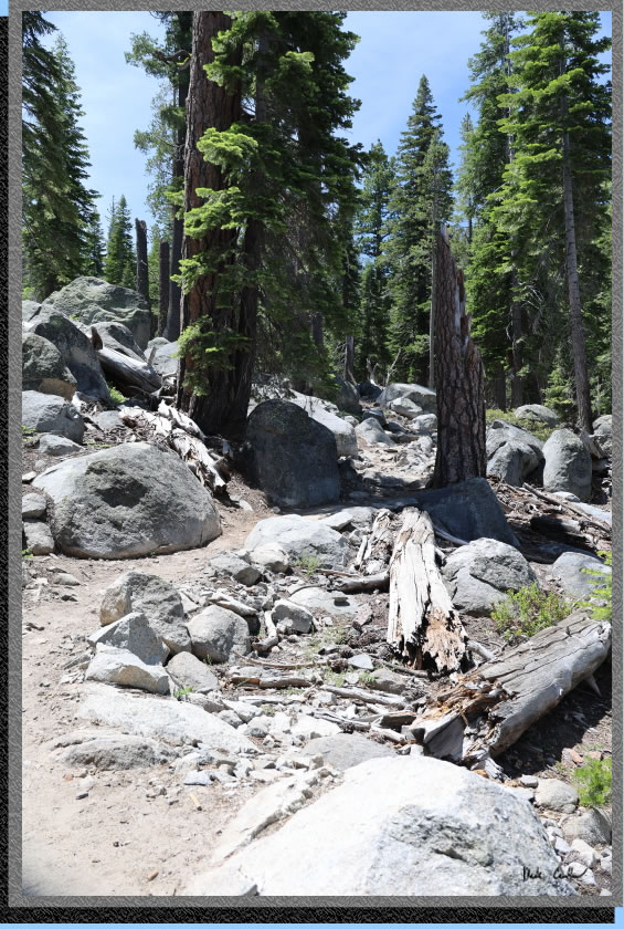
They reworked this first
section of trail a few years back (Ok maybe more than a few now). It
is a much better grade than it used to be but keeps you further from
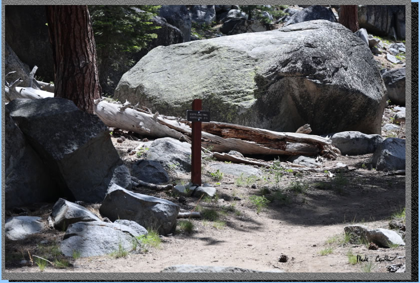
the creek. Before you know it you will be at your first trail junction,
Scotts
Lake.Stay to the right at this junction. The trail evens out at
this point. Here is a shot of the trail junction.
A short hike and you are
at the Big Meadow Creek crossing which has a nice bridge. Here is a shot as you first approach Big Meadow. The bushes block the view at first. There is a bridge to keep you dry on the way over the creek. Water was flowing but not very high. I have seen this bridge under water in early season before.
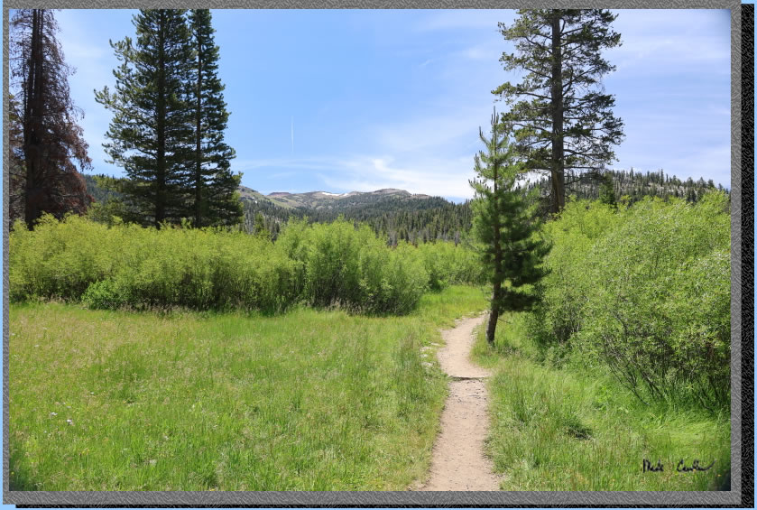
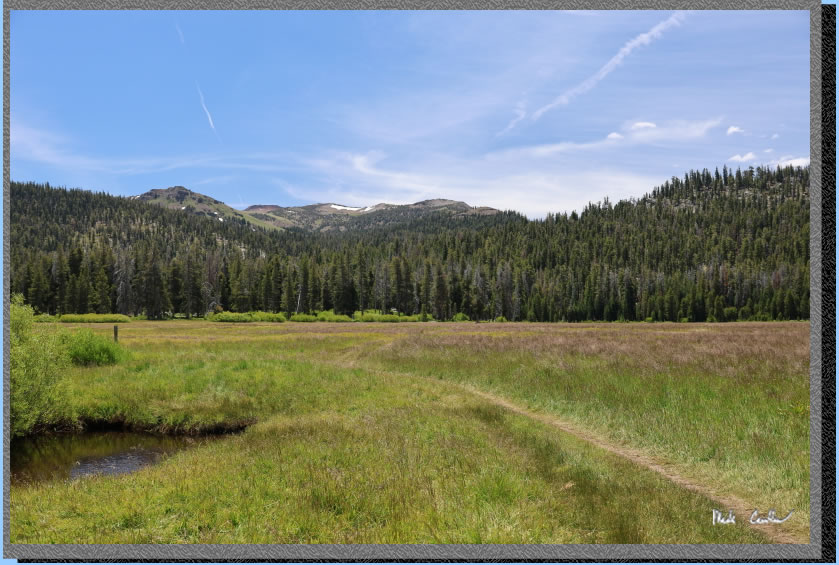
Here is Big Meadow in all
its glory after you cross the bridge. You can see a couple small patches of snow in the distance.
After crossing Big Meadow
you head uphill again under mainly conifer cover. There was a "blow down" event in this area that took out many trees. Rangers are working on clearing out much of the dead trees. You will see some sections with burn piles ready to go.
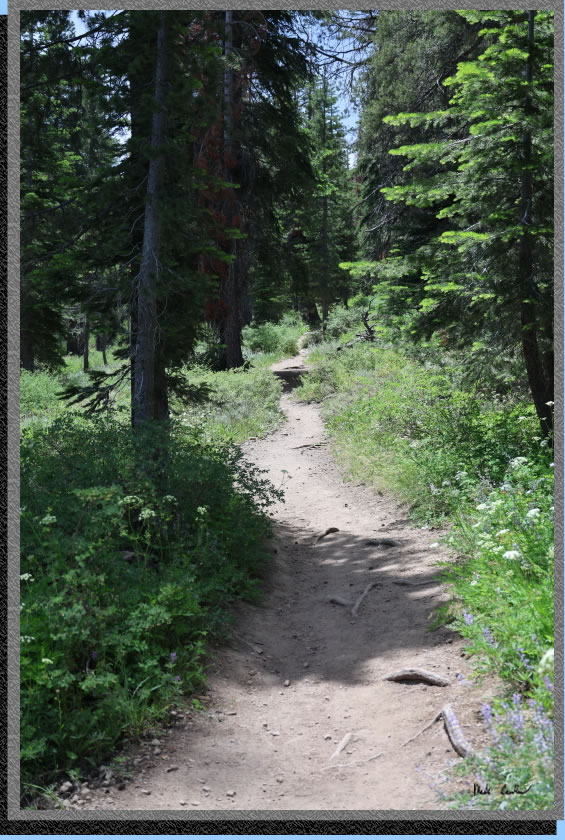
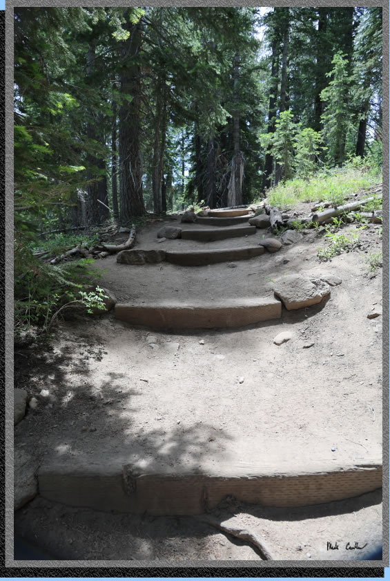
They have added stairs in this section to help with erosion. It appears the mountain bikers go around the stairs though, so not sure it will work as intended.
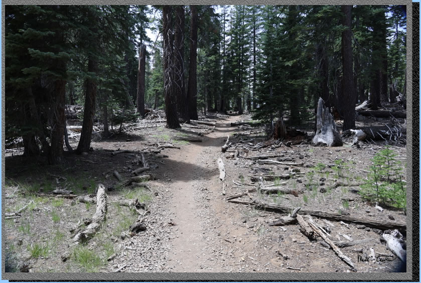
Here is some of the dead trees from the "blow down" event.
After continuing uphill until you reach the top of the ridge you get to head down through some switchbacks. There are warning signs for bicyclists to slow down as hikers and horses don't want to get run over. We had a friendly group pass us on this section at a reasonable speed and were nice enough to tell us how many were in the group (much appreciated).
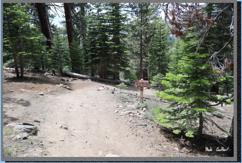
The ridge gives some great views of the surrounding
peaks. Weather was great for us with it remaining cool (60's) with
a breeze. This shot was captured
heading down the ridge. 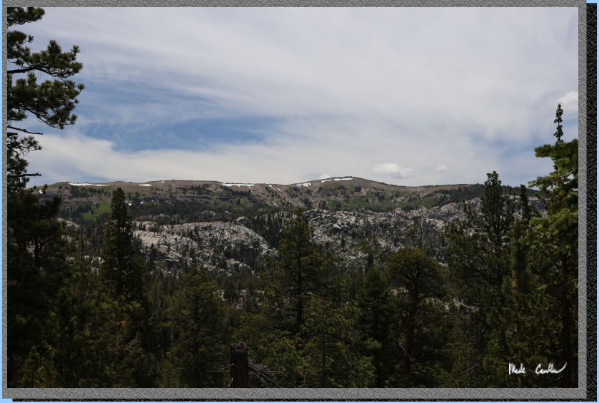
Once you reach the bottom you will be at the trail junction for Dardanelles Lake. Stay left to Round Lake.
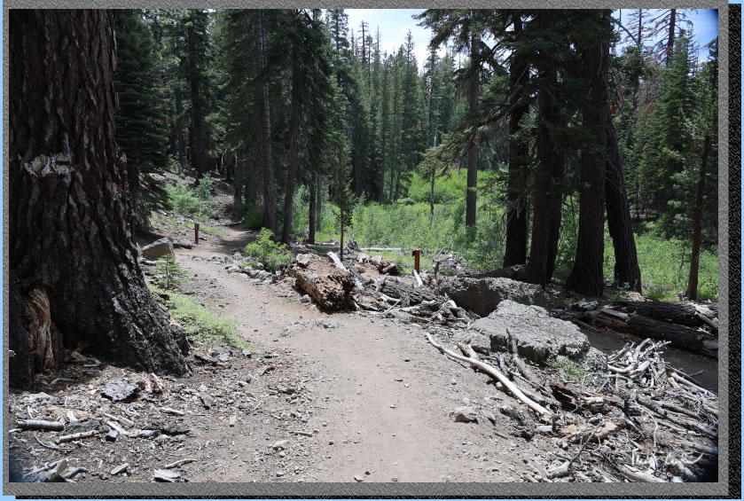
There are some really neat
rocks to check out along the trail. Granite is always neat but this
area has some metamorphic rock that looks like the roughest exposed
aggregate boulders you have ever seen. Some of these boulders are the
size of cars and there are some even bigger.
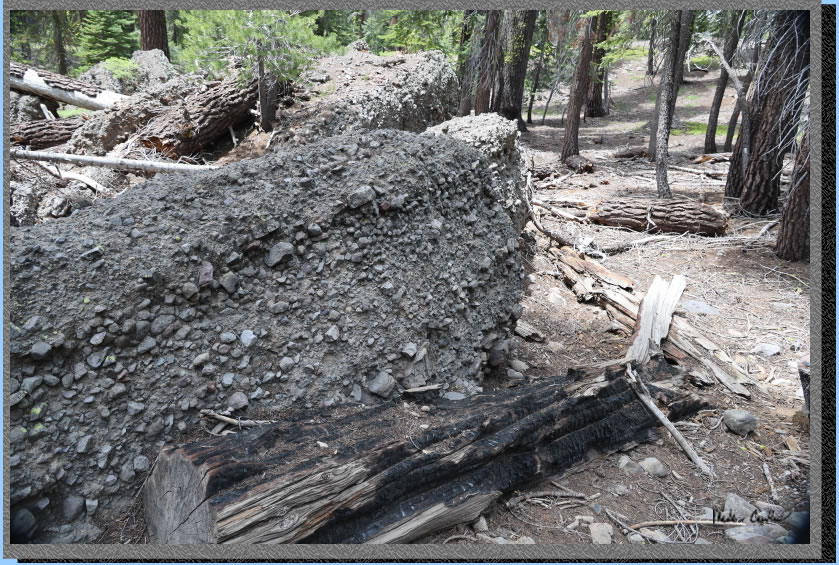
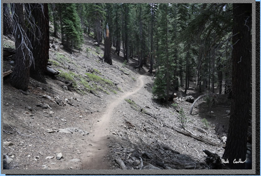
The trail is now a narrow single track until you get close to Round Lake. There is another uphill section just after all the aggregate boulders.
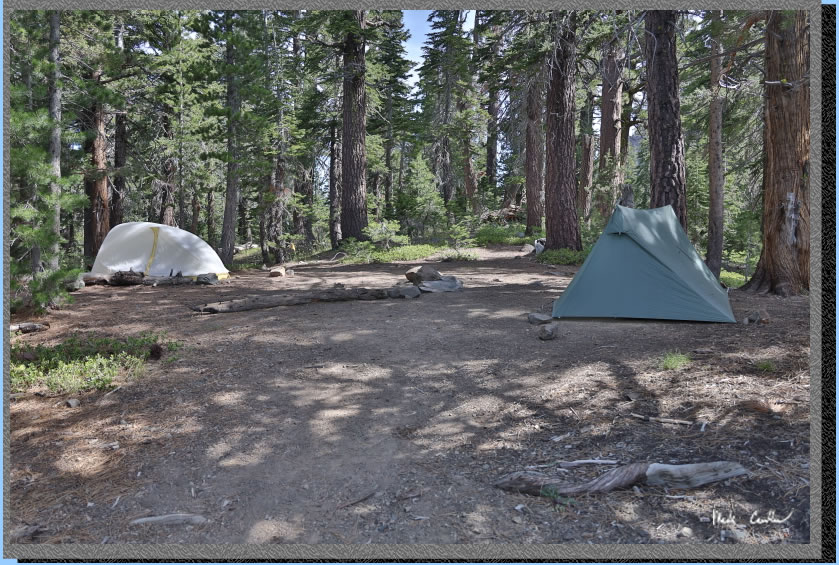
We picked a site on the
north side of the lake above the lake. Fire restrictions are in full
effect so we could not gather wood or have a campfire. It was a little exposed
to the wind but I was willing to put up with that to lessen the amount
of potential bugs. We talked with one family headed out that said there
were some mosquitoes (not a surprise). Here is camp.
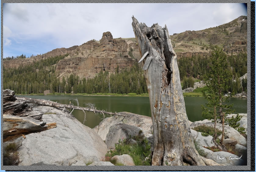
After we setup camp and refueled we decided to head out across the outlet of the lake to see if we could hike around the lake. I warned Dan that I thought it was marshy from a trip I did decades ago. We stayed along the shore past the large group camping to our west. Here we are winding our way along the rocky shoreline.
We eventually had to cross the inlet. The shot below shows us looking back at where we had to cross. We jumped the inlet at a narrow spot and I almost lost my boots due to the marshy ground. Dan's boots aren't as tall and he had water/muck enter his boots/ We then bushwhacked across the area trying to stay on the most stable ground we could find. We probably could have hiked further inland and found a better spot.
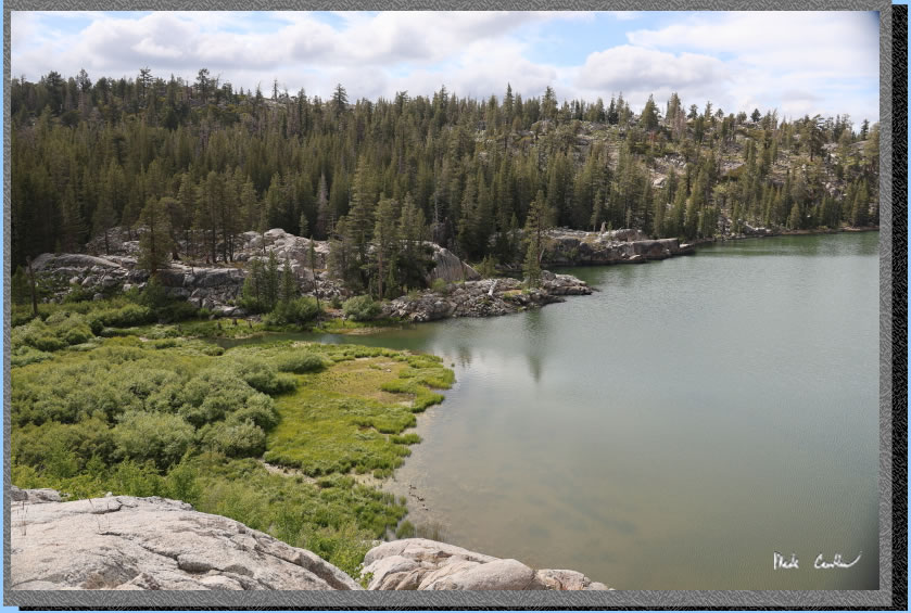
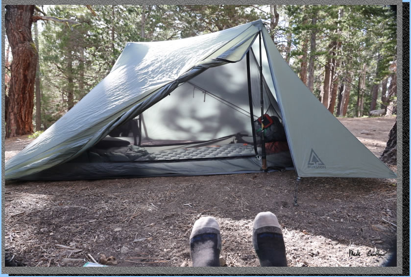
We made it all the way around the lake. The east side of the lake has a proper trail. I am not sure that I would hike around this lake again. I think picking one side to explore is a better option. We made it back in time for Dan to start drying out his footwear with the last of the day's sun. We had a nice evening until the breeze stopped and the mosquitoes came out and swarmed Dan. He had to don his head net to keep them from winning. They seemed to like Dan and lot more than me. Here is my Durston tent (third trip now), still loving it.
We had a nice night with
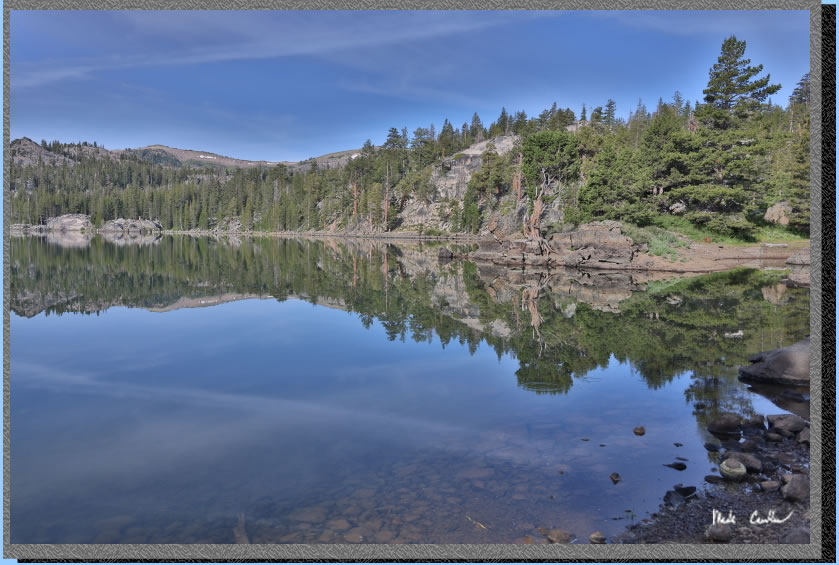
cool temperatures. The large group to our west did not stay up late (or were very quiet if they did). Not much wind that night. I grabbed this shot of the glass like conditions on Round Lake that morning. We had a nice breakfast and some difficult water filtering (our filter did not like the water choices and was demanding frequent cleanings). We decided to pack a lunch and head to Dardanelles Lake. The trail is mostly downhill to Dardanelles Lake, so uphill on the way back.
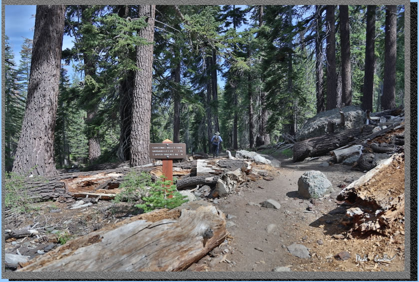
We had to back track to the trail junction with Dardanelles
Lake and at the base of the switchback section. Here is Dan headed toward Dardanelle just past the junction.
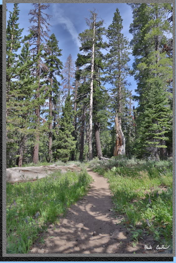
The trail was nice and green and the weather was cooperating again. It was cool with a slight breeze. There were more wildflowers through this section than on our way to Round Lake. There is only one junction along this section of trail, be sure to take a left to head west or you will be heading north along the Lake Valley Trail.
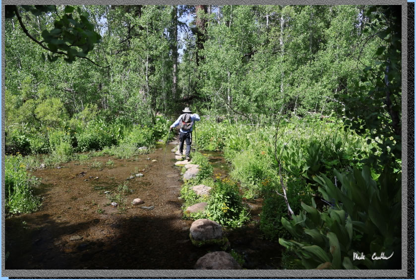
You get to cross three streams on your way to Dardanelle's Lake. All crossings were easy with strategically placed boulders. Here is Dan crossing the first.
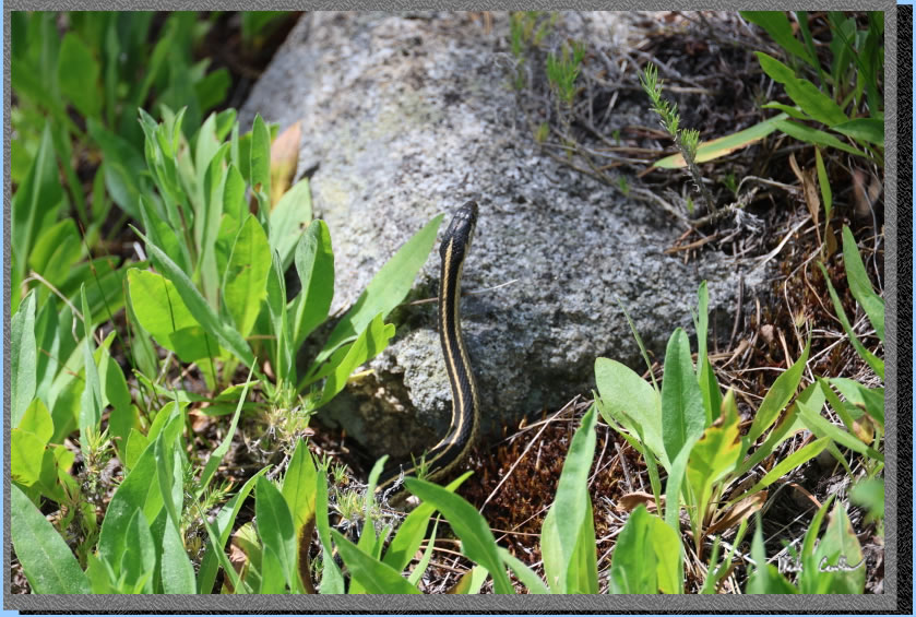
Some of the wildlife (not the dangerous kind).
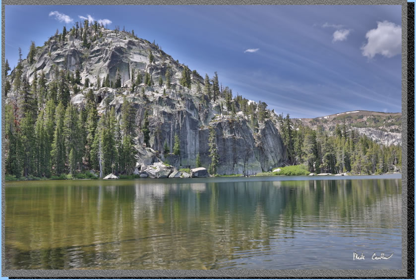
After a nice easy hike we
made it to Dardanelles Lake. We saw some day hikers but no campers. This lake is shallower and smaller than Round Lake but the views are amazing.
. 
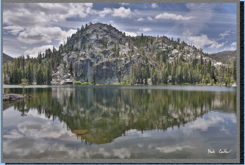
Here is another shot showing the typical afternoon threat of thunderstorms (my exposure makes the clouds a little more threatening than they actually were). There were dragonflies, but no mosquitoes around this
lake. Coincidence? We had lunch, explored the shoreline some, and decided we should head back to camp.
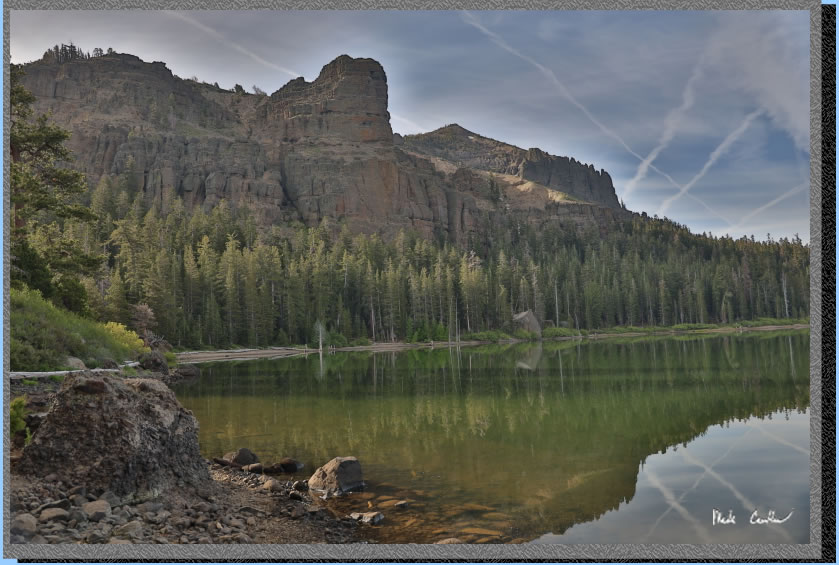
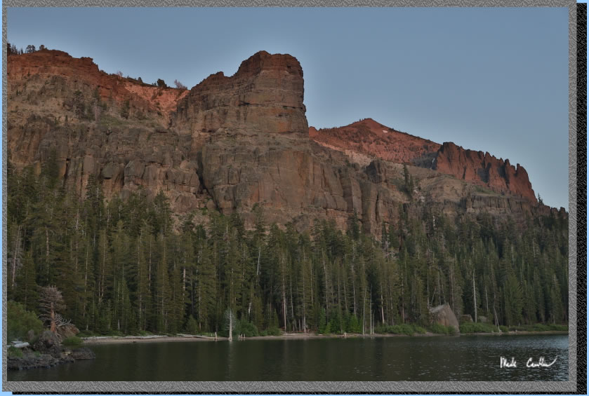
Our hike back to Round Lake was nice with only our day packs. We filtered some more water and relaxed around camp before dinner. There were some darker clouds that rolled through with some thunder heard pretty close. Luckily we didn't see any lightning. The thunder was short lived though and quickly the sky was clear again. Here is the cliff above Round Lake that evening. The air was still again with our mosquitoes searching out Dan again. It was another quiet night around the lake. We headed out early the next day to get lunch in Placerville, Beach Hut Deli. I will leave you with some shots that didn't fit my trip description.
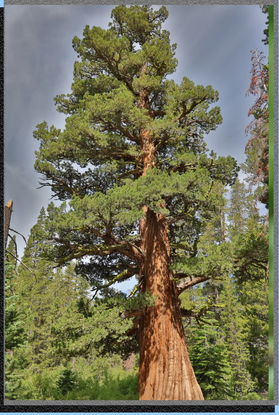
A giant along the trail.
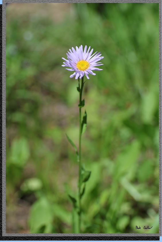
There were many of these, but this one stood out.
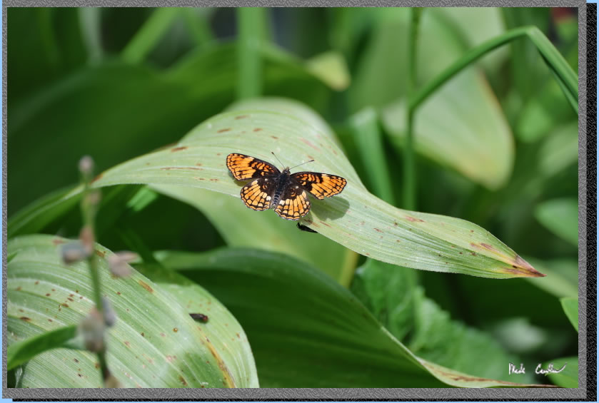
I had to take three shots before I timed the wing flapping correctly.
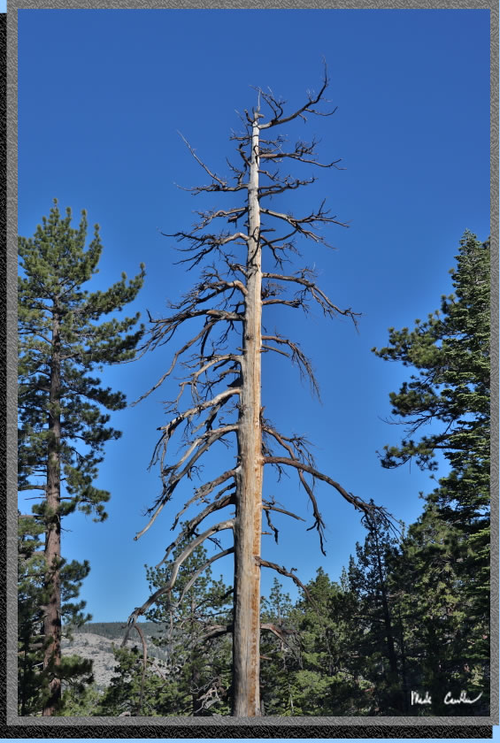
Another dead tree picture.
. 
Map shows trail from Big Meadow Trailhead to Round Lake in red and Round Lake to Dardanelles Lake in purple
Click either for a larger version.
.
(back to top)
Elevation
profile from Big Meadow Trailhead to Round Lake

(back
to top)
Elevation
profile from Round Lake campsite to Dardanelles Lake (round trip)

(back
to top)