


![]()
Page 2 of 2 (take me back to page 1)
So you want to read more
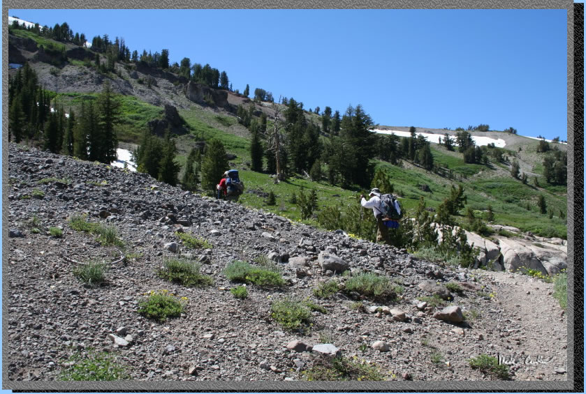
about this 3 day journey, good. We continued on passing Little Round
Top to the west and enjoying the views of the area to the east. The
sky was clear with a gentle breeze. We generally were headed up now
crossing many late season snow feed creeks and through many more wild
flower displays. We weren't sure where we wanted to end up today to
spend the night but knew we had to get to the top of the surrounding
ridge before calling it a day.
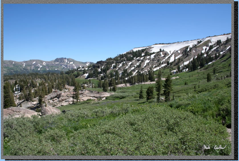
Here are the views to the
east. Just awesome really. Could have used a fish eye lens on this trip
to capture the scene in this bowl.
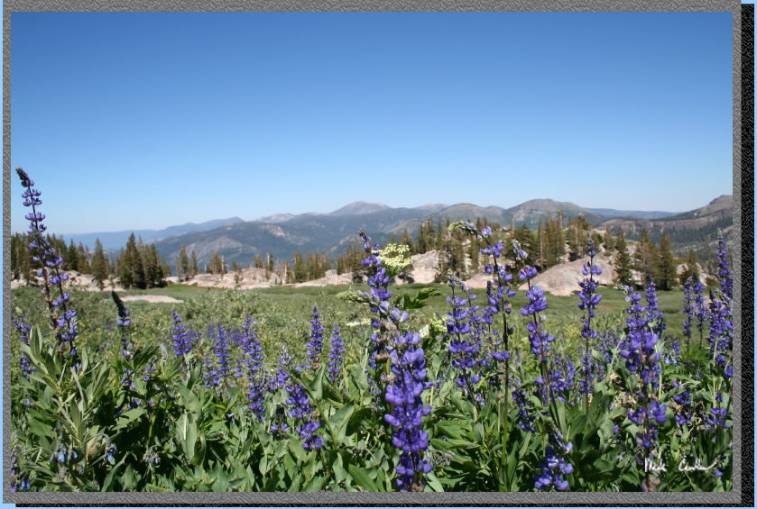
Here is a shot looking back
at the trail. All the green you see is the leaves of all the wildflowers.
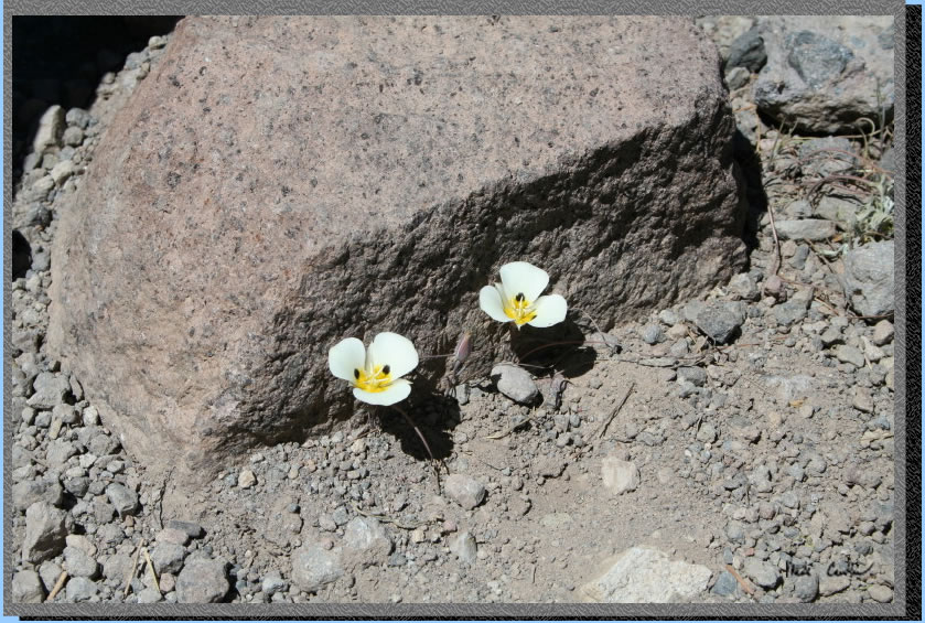
Leo pointed these flowers deciding to challenge themselves by living
under a granite rock. Amazing they were able to survive.
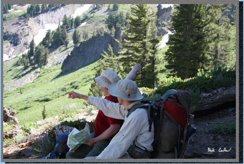
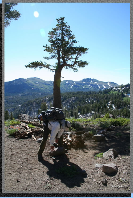
So we decided that the top of this ridge was going to be hard to top
for views and it looked like others had camped here before. Good enough
for us for our second night. Eric and I were talking about the surrounding
features after a map check. Although from the arm pointing I am not
sure we agreed on the locations of those features....
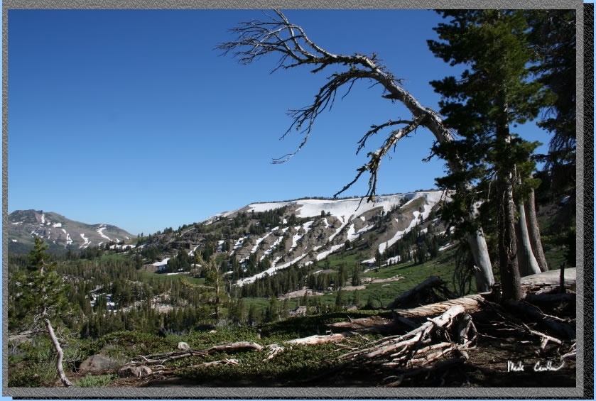
The view from this campsite was spectacular. Being a little open we
were also hoping that the mosquitoes would leave us be. They were smaller
in number but still present. We also has quite a few giant ants in the
area but we decided we would take the additional ants over more mosquitoes
any day.
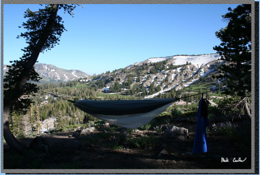
Leo had the best view from his hammock site. I was very jealous of his
setup on this trip.
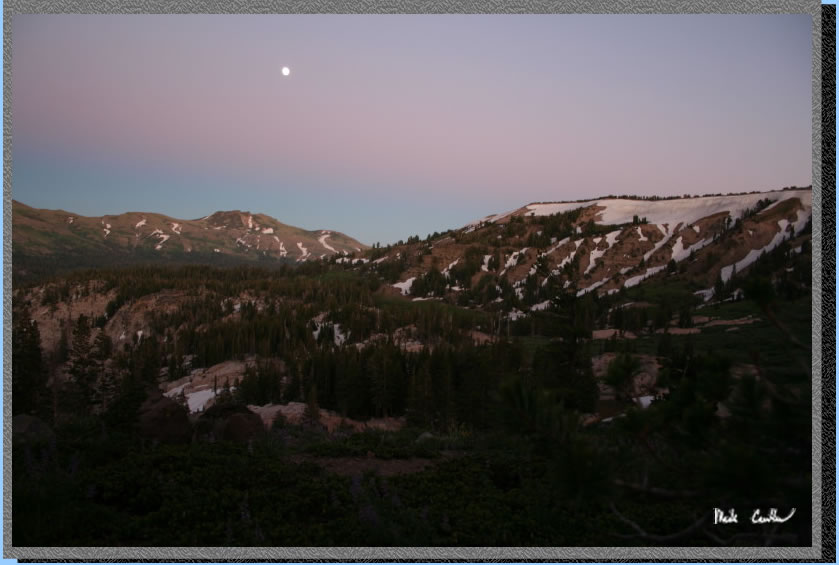
With almost a full moon out this night it made for quite bright night
shots. It looks like this was taken during the day but it was really
dark at this point... well dark by full moon standards.
Here is Leo making sure we
are leaving no trace before he hit the trail in the morning. We got
an early start today as we wanted to try to get out to civilization
by late lunch..
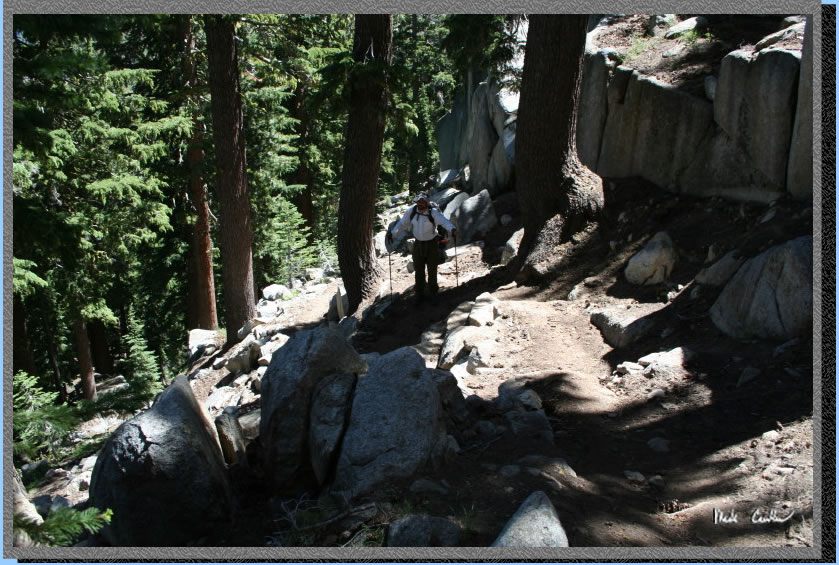
The next section crosses a stream initially and then mostly level with
a mix of covered to open sections. Still some snow fields to cross but
nothing very big. 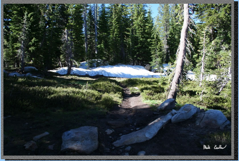
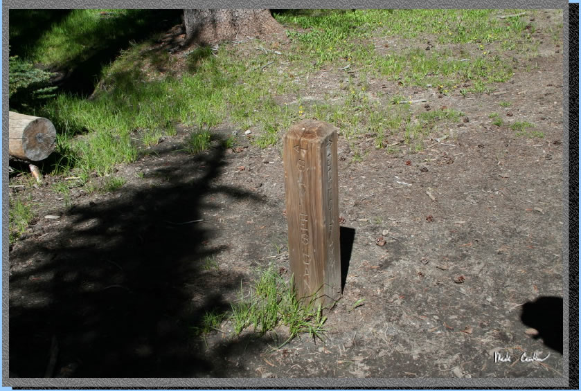
Here is the junction to Schneiders Cow Camp to left. Stay right/straight
to Echo Summit. Short uphill section next then a more gradual uphill
that is semi-covered.

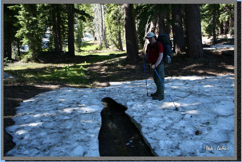
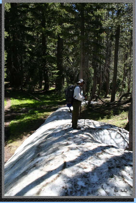
Here is Eric crossing one of the snow fields. I tried to have him stand
on the middle for a picture but he wasn't willing. Could have made for
a great action shot Eric :-).
Junction to Sayles Camp is next. Stay straight/right to Echo Summit.
Continue on mostly covered section now until next junction.
Next junction is to Bryan Meadow to left. Stay straight/right and go
uphill for the next part for a moderate, but covered, climb.
The trail is still covered
in spots. At least I am pretty sure we are on/above the trail here.
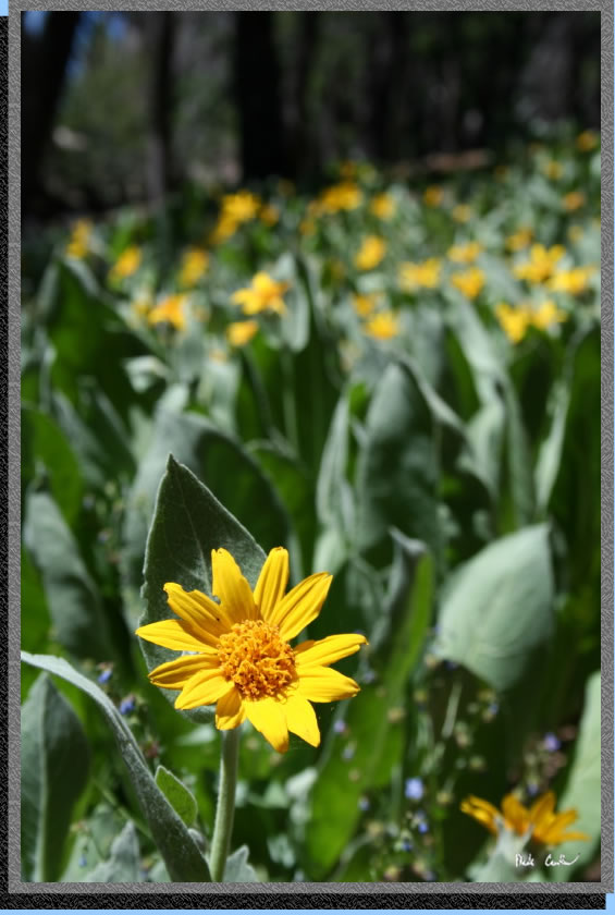
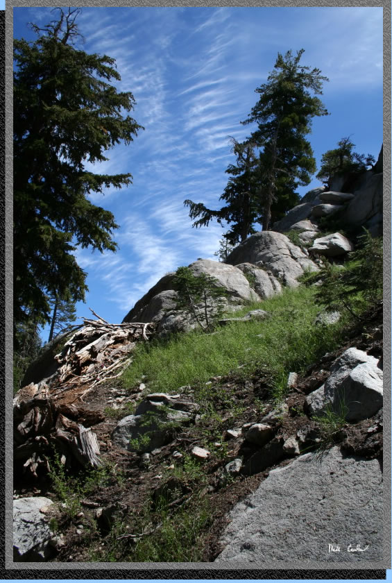
Still some wildflowers where
the snow wasn't. This
was a huge field of mule ears blossoming.
After another creek crossing
you start your decent. See profile below. Here we
are following that creek down. You can see the more traditional rock
of Desolation Wilderness now, granite. We must be getting closer to
Echo Summit and Desolation Wilderness.
Keep your eyes out for Lake
Tahoe as you descend. You can see the clearing for the airport and then
the lake behind it. There are many vantage points to catch a glimpse
on the way down.
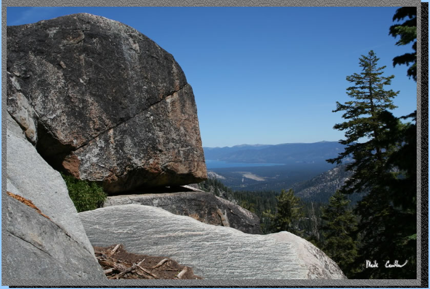
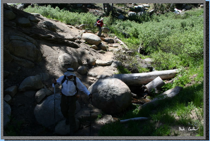
The trail is steep, switchbacky
and rocky so take your time and be thankful you are not climbing it.
Some more clouds today but still perfect blue skies as the backdrop.
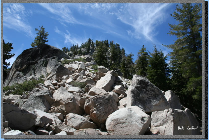
This picture give you an idea of the trail conditions. Kinda rocky.
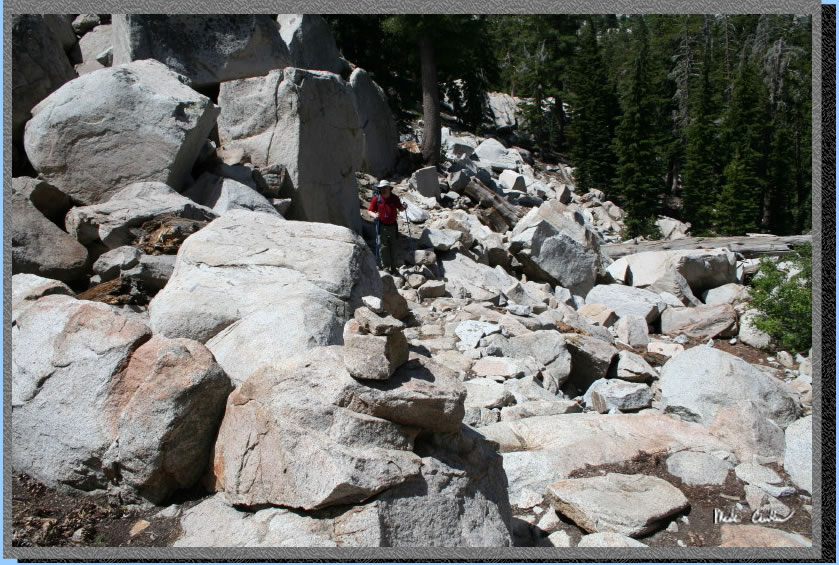
Trail crosses this boulder
field. You probably don't want to pick this spot to eat lunch.
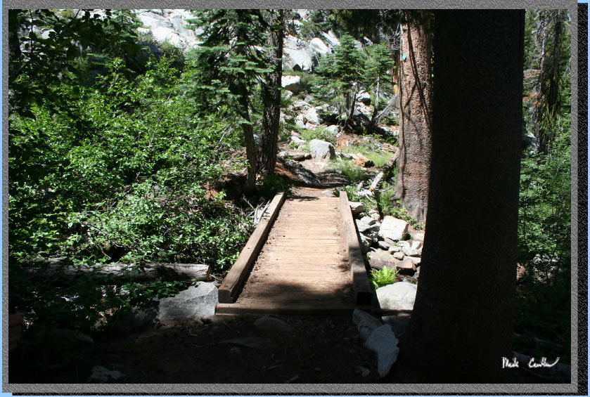
You eventually get to the end of this long decent and cross a bridge.
Trail changes to mostly covered and flat. Your knees will be glad that
the downhill is over at this point. If you are headed the other way
be ready for some serious uphill.
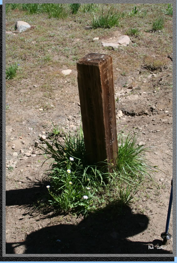
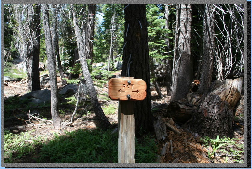
Follow route markers along the way. Only one tricky spot here where
you go left/uphill just past this sign.
Continue to follow PCT markers
to dirt road, you will take a right onto dirt road.
Continue past privately run
snow park (closed this time of year by gate). Even have cameras setup
to monitor. Apparently a secure snow park..
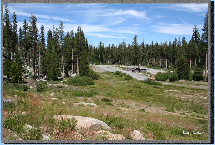
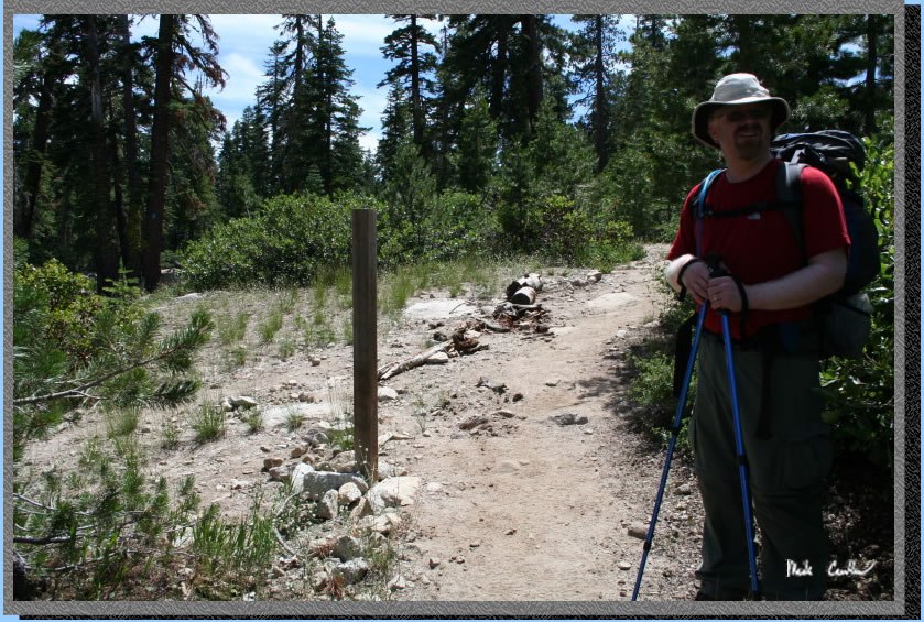
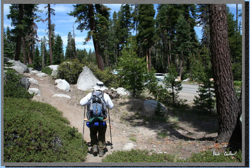
Almost to car now. Vehicles
can be seen at the small parking above Leo's head. We were happy to
see the lot as this day turned out to be a little further than we thought.
I think the twists and turns of the downhill added some mileage as our
last day was 7 miles. Overall a great trip. I would recommend that you
see this area. There are may trailhead/Lake options and even this longer
thru hike option that could be done in as little as a day should you
be inclined. This is a popular section of the TRT for a reason so be
sure to check it out. If you want to beat the crowds do it midweek.
Go back to Page 1 by clicking
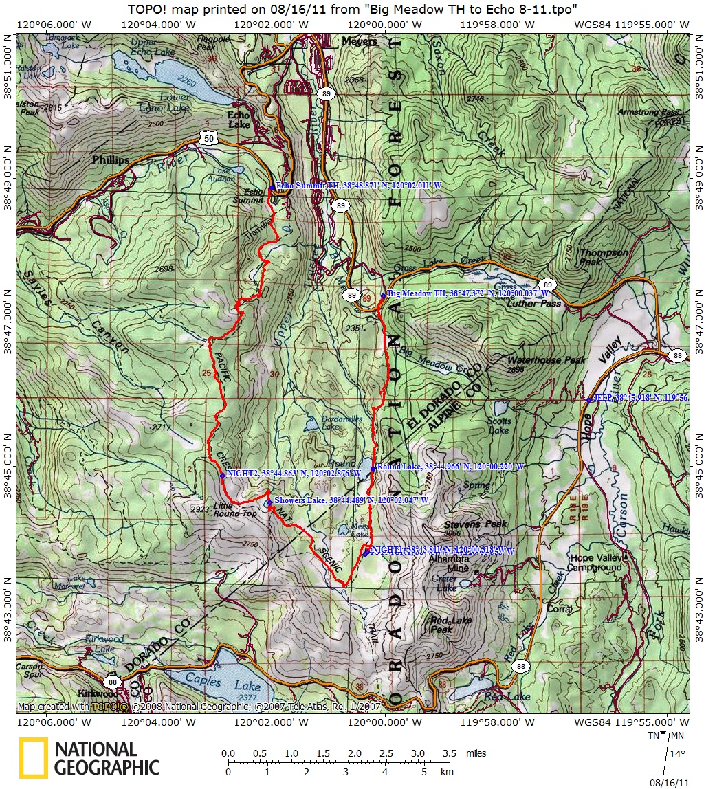
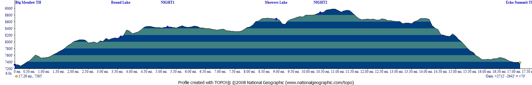
here. Scroll down for map and elevation profile.
Red line shows the section
of the Tahoe Rim Trail we hiked. Elevation profile below map.Click on
map or profile for larger version.
. 
(back to top)
Page 2 of 2 (take me back to page 1)