


![]()
The next morning
we decided that we would do a day hike to Fontanillis Lake and Dicks
Lake. We had slept in some after a very dewy night. I had been in my
bivy to try to keep some of the dew off of my older down bag but instead
suffered more moisture from condensation. I was disappointed that my
bivy failed me. I gave up on trying to keep my bag dry and the next
morning we just let the warm morning sun dry the bags out. We decided
that we would set up the tarp the next night to give us some dew protection.
The shot below is of a helicopter that made a couple passes hauling
something, not sure what. We thought water at first but did not see/smell
smoke (thank goodness) or see much of him after the couple passes. 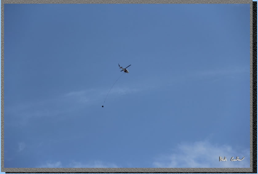
We decided to just follow
the stream coming down from Fontanillis Lake rather than hike all the
way around on the trails. For our approximate route see the green line
below. I didn't run the gps on this day hike as I
wanted to conserve batteries should I be forced to use it for actual
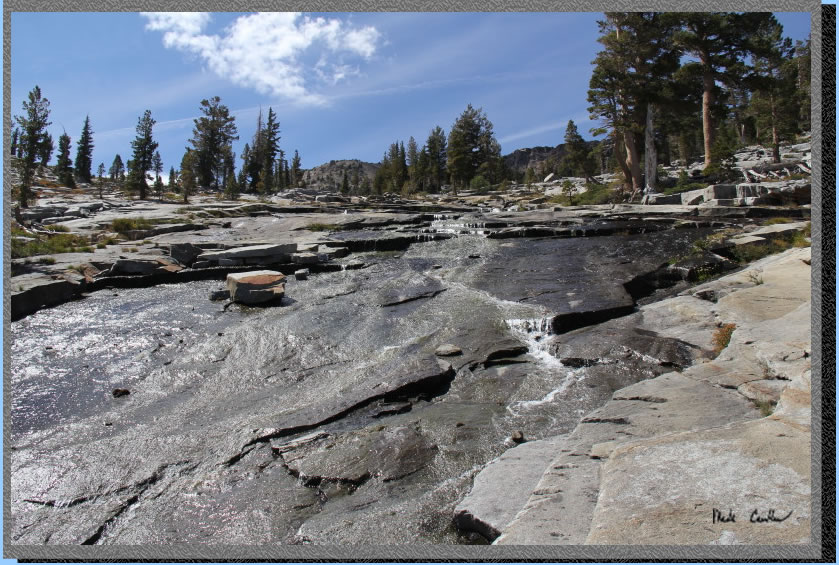
navigation at some point. The path to Fontanillis Lake was almost exclusively
granite.
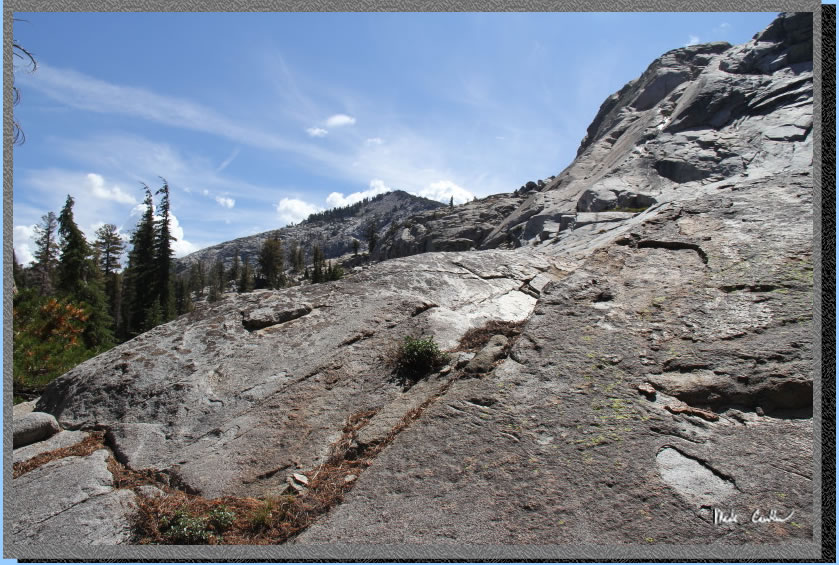
It was steep in sections
but we just carefully chose out path to avoid the slippery sections.
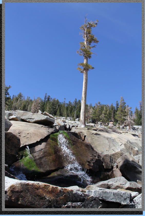
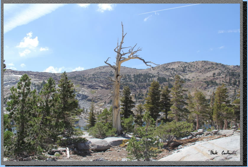
The shot shows one of the bigger trees that appears to be growing right
out of the granite! It has year round water though so maybe not such
a silly place to grow.
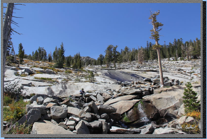
We continued up, hoping that
we would not run into an impassable section and have to backtrack. The
water disappears under the granite in some sections only to reappear
further down the face. Once you were up here on alongside the amount
of water was actually much more than seen from below. Some of the pools
along the way would make some great spots to sit and soak (assuming
the cool temperature doesn't bother you).
This shot shows the steepness
of the water's path.
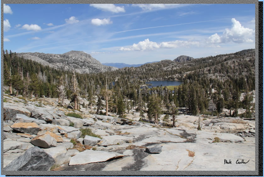
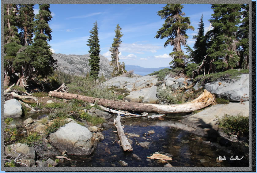
Looking back from where we
came you can see all of Upper Velma Lake, but no Lake Tahoe, yet.
We crossed the outlet at Fontanillis Lake and then went up the ridge
to get a good vantage point for lunch. Along the way we saw some good
camping spots above the lake on the east side.
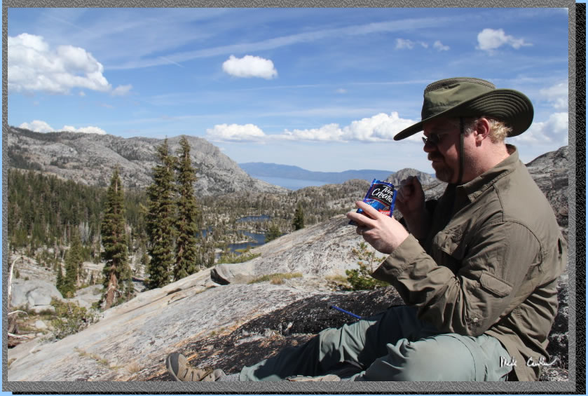
Eric is taking in some calories,
and the views of Upper Velma, with Lake Tahoe now far in the distance.
The wind was picking up some today. We had some clouds in the distance
but nothing headed our way.
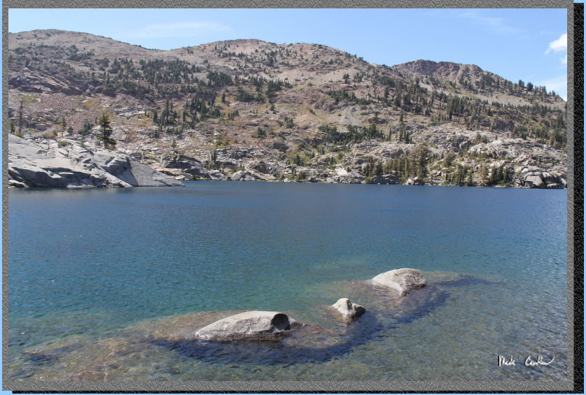
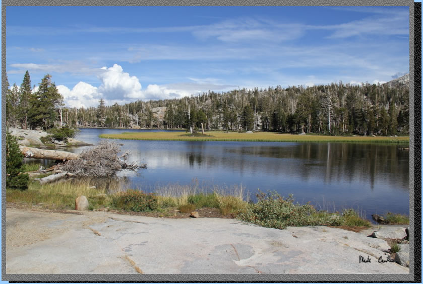
Dead tree #43b with Fontanillis
Lake behind it. Fontanillis Lake is one of those tricky lakes that is
hard to see where it starts and stops.
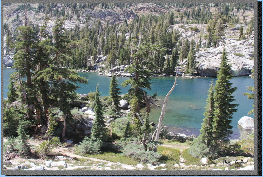
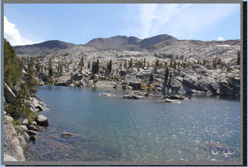
Fontanillis Lake and some
granite "islands".
The trail skirts along the eastern side of Fontanillis Lake with it
visible most of the time.
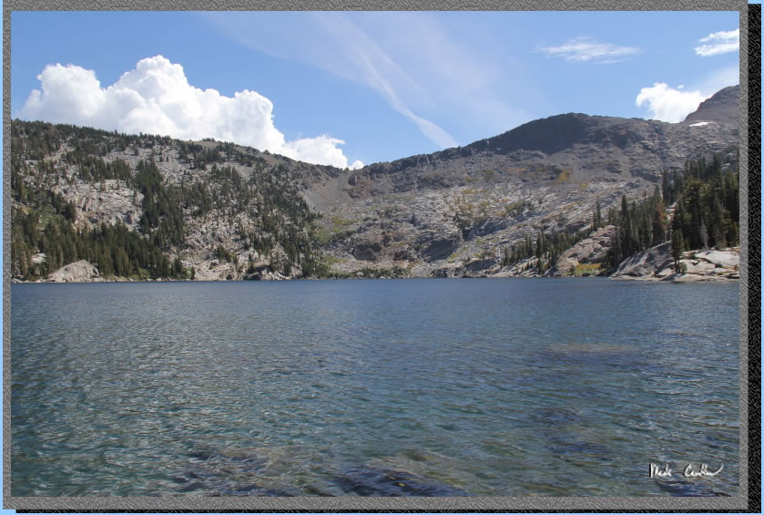
Eventually
we made it to Dicks Lake. We saw a few people camping at Dicks Lake.
There is one decent campsite near the trail on the way in.
We didn't stay at Dicks Lake
very long, but instead decided we should head back to camp. We still
had to work on our shelter for the evening, before it got too dark.
We decided that staying on the trail on the way back would be more efficient
as well. The shot below shows the outlet of Fontanillis Lake.
The trail is well marked
and easy to follow (besides a few spur trails at Fontanillis Lake's
outlet). After passing Fontanillis Lake you head to Middle Velma and
take a right towards Upper Velma/Eagle Lake and then another right at
the Upper Velma Lake junction. Here is Upper Velma on the way back to
our site.
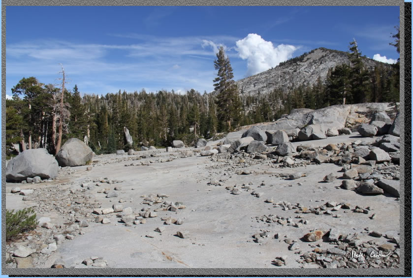
There is a lot of exposed
granite around this lake. It was like being on the moon at times. It
was also especially hard to get around at night as there are many boulder
fields and areas of brush to traverse.
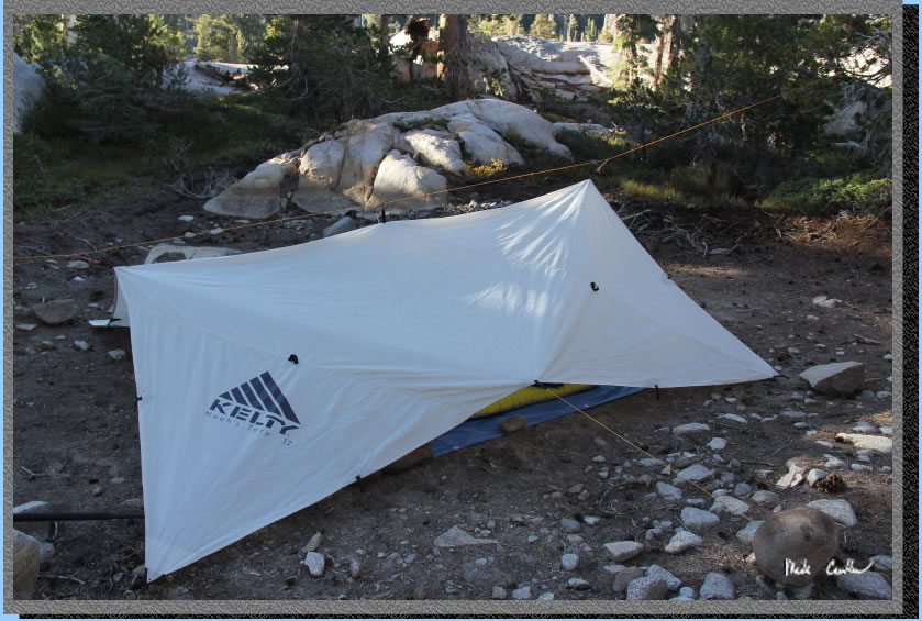
We set up the tarp and filtered
some water before dark. Here is the big tarp ready for our blustery
night. It ended up being much more windy than we anticipated with the
tarp being a "flapper", so we got a small dusting now and
again. So, to recap: night 1 dew, night 2 dust. We planned on a better
night 3.
Continue to Page 3 by
clicking here. Scroll down for map and elevation
profile.
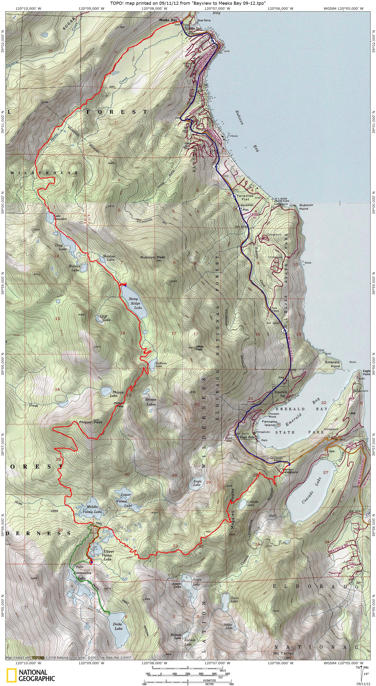
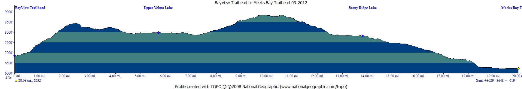
Red line shows the
section we hiked with packs.
Green line is day hike on day 2.
Blue line is shuttle back to car.
Elevation profile below map.
Click on map or profile for larger version.
.
(back to top)
(take me back to trip description Day 1, Day 2, Day 3, Day 4 )