


![]()
 Permit
- Permits can be obtained through recreation.gov.
Permits used to be picked up from the Bear
Valley Visitor Center (located at 1 Bear Valley Road Point Reyes
Station, CA 94956, 415-464-5100). Now you can just print your email confirmation to use as both your parking pass and the permit. Sites
run $30 per site per night (up to 6 per site). There are also a few
group sites with prices starting at $90 per night (7-25 per site).
Permit
- Permits can be obtained through recreation.gov.
Permits used to be picked up from the Bear
Valley Visitor Center (located at 1 Bear Valley Road Point Reyes
Station, CA 94956, 415-464-5100). Now you can just print your email confirmation to use as both your parking pass and the permit. Sites
run $30 per site per night (up to 6 per site). There are also a few
group sites with prices starting at $90 per night (7-25 per site).
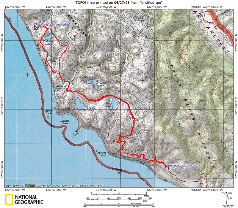
Mileage - Wildcat Camp is approximately 5.7 miles each way from the Palomarin Trailhead (see map and profile below). Alamere Falls is another mile from camp, each way. You must know when high tide is before setting off on this hike, or you could get trapped against cliffs by waves (not good)
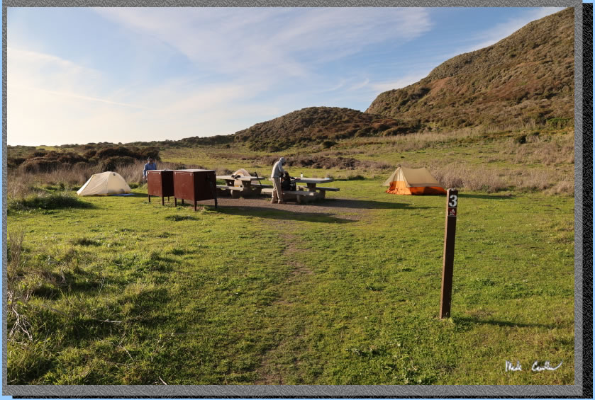
Camps/Water - Wildcat Camp has 7 sites (three of them are group sites). Sites 6 & 7 are closest to ocean. Nice pit toilets are near site 2 (yes, some can be nice). Each site has a metal locker and picnic bench (group sites have 2 of each). A potable water faucet is provided near site 2. There are also trash/recycle receptacles.
Hazards - High tide, Poison Oak, MICE, BEAR (one confirmed thus far), and ravenous raccoons (use the locker and a bear canister in the locker). The raccoons actually haven't bothered me out here a few trips in a row now, but the mice will get in the lockers and eat stuff. Rangers currently recommend bear canisters.
I have done this trip a few times now (2023, 2020, 2019, 2018,
2015 and 2003),
usually from the Palomarin trailhead. Use the links to view the old
trip descriptions. To get to the Palomarin trailhead from the Bear Valley Visitor Center travel south on Highway
1 for about 25 minutes. Look for a wooden sign that says "Dog Town"
in a Eucalyptus grove and then make your next right at HorseShoe Hill
Road (it sneaks up on you, so if you miss it just take your next right
onto Olema-Bolinas Road, it will get you there too, and then make a
left onto Horseshoe Hill Rd when you dead end into it). You will make
another right from Horseshoe Hill Road onto Mesa Road at a three-way
stop (up the hill in another Eucalyptus grove). Stay on Mesa Road now
past the fire station, and then past the Coast Guard communications
station. The road is gravel for the last 1.2 miles to the Palomarin
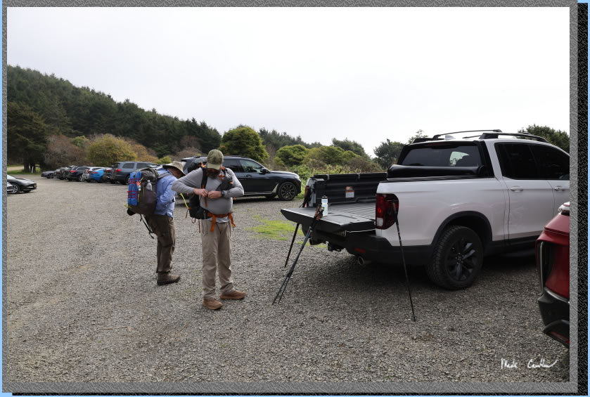
Trailhead. It is pretty rough now in spots so take your time and avoid the largest holes. The weather was cooperating with is on this trip with the sky clearing before we got too far down the trail. Here are Dan and Leo doing last minute gear adjustments before we started our hike.
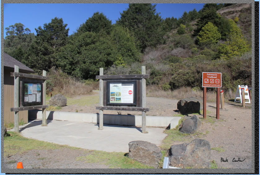
The trailhead has pit toilets and trash cans. There is no water here so plan ahead. Parking can get crowded on busy weekends and I have seen a ranger out here several times making sure you have a permit. Print two copies and put one in your windshield and carry the other in case you are asked for it. Image below from a previous trip.
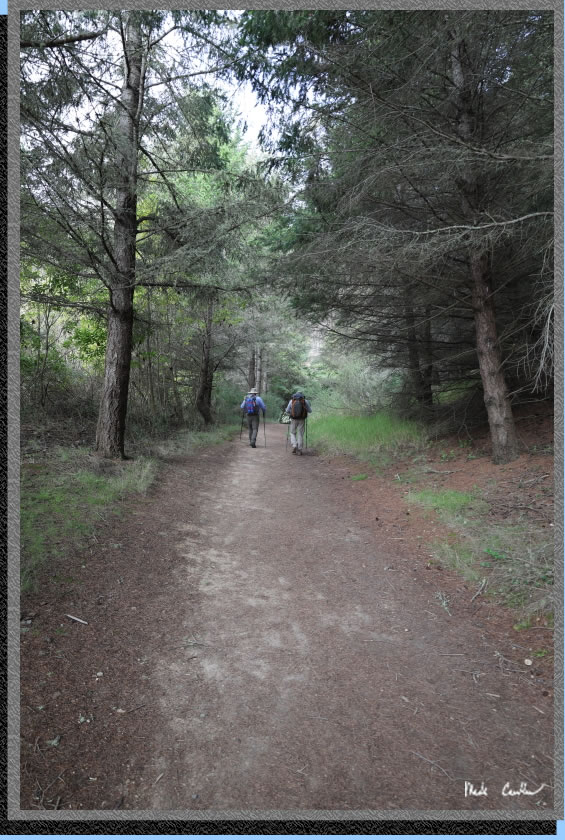
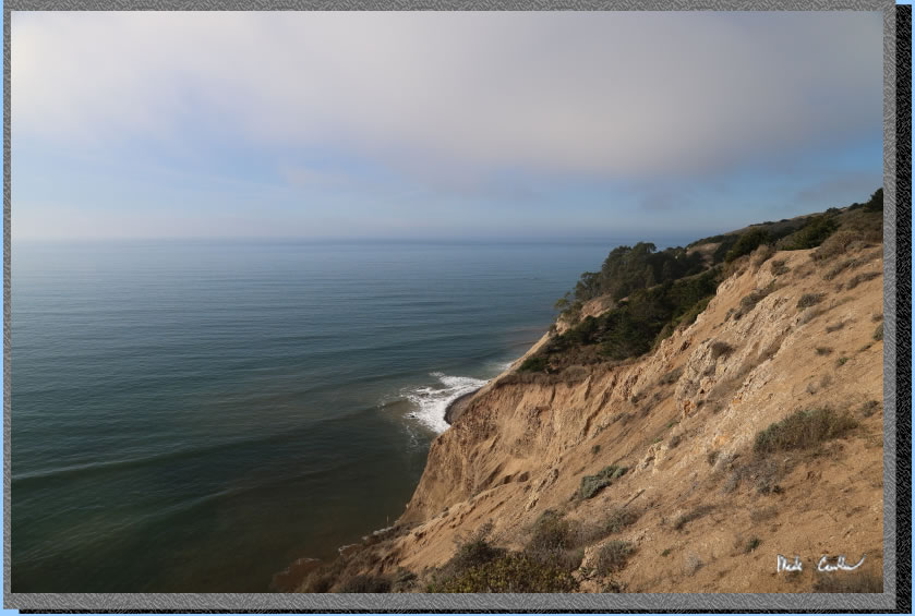
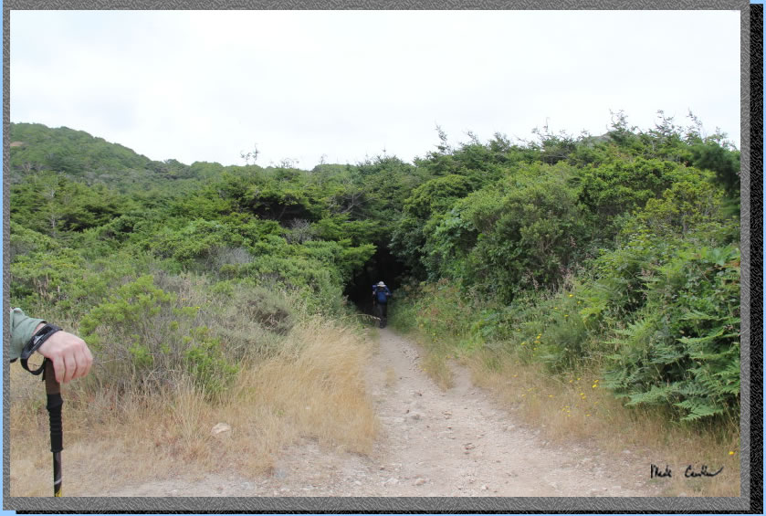
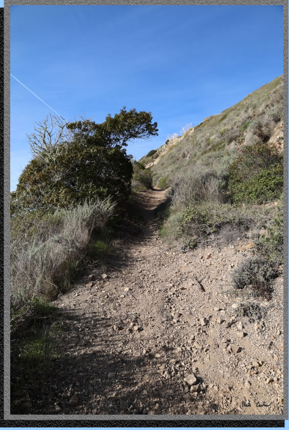
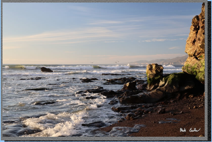
The trail starts in the shade of some Eucalyptus trees. You take a short uphill section to views of the Pacific Ocean..
The views of the Pacific Ocean. The weather was forecast for clear skies and of course possible fog rolling in at the end of the day. .
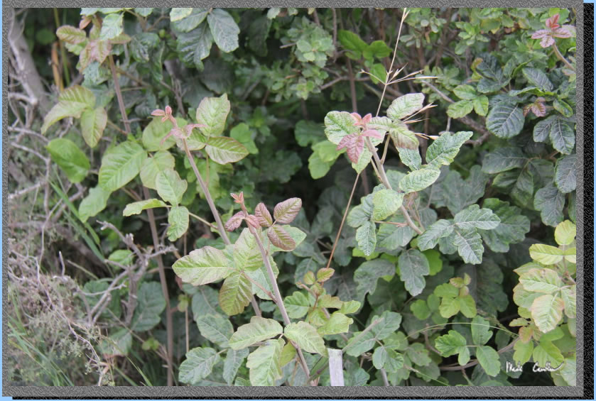
Be mindful of where you step and what you touch. I didn't see too much devil plant (Poison Oak) on this trip. Of course this time of year is not when it is really thriving. Here is what it can look like out here in early summer. They do a good job of keeping it back from the trails in this area. If you keep to the trails and pay attention you should be fine. Image below from a previous trip.
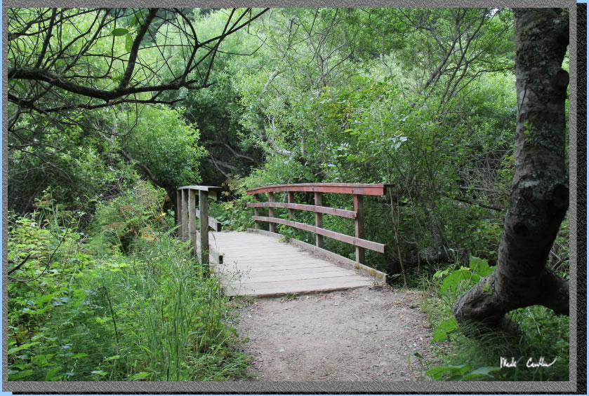
Eventually, the trail breaks inland and you will likely feel like you are headed in the wrong direction. Crossing the bridges you will hear the creeks you are crossing. I was amazed at the amount of happy birds you could hear through this section. Take a minute to stop on the bridge and look and listen. Image below from a previous trip.
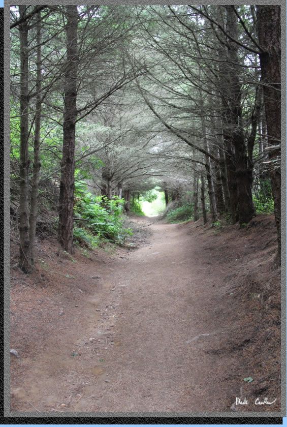
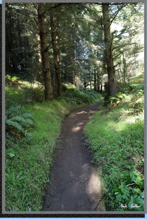
I had to take a picture through this "dead" section of trail. These trees do a good job of blocking the light so there are no competitors for the resources through here. Image below from a previous trip.
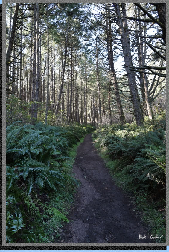
Another green section of trail on the way in.
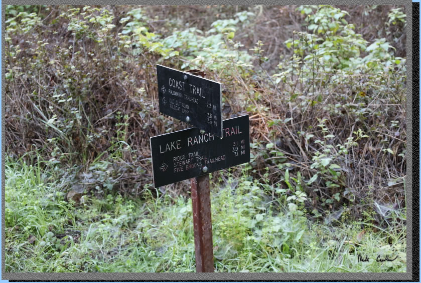
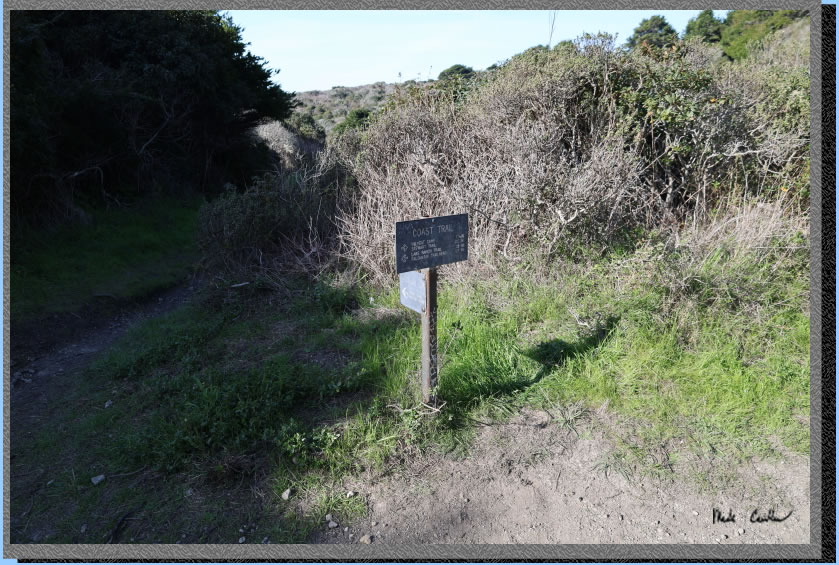
Junction with Lake Ranch Trail. Continue straight on. Only 3.3 miles left, if you believe signs (probably close).
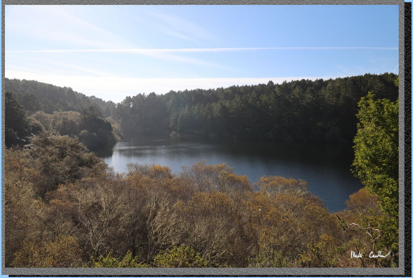
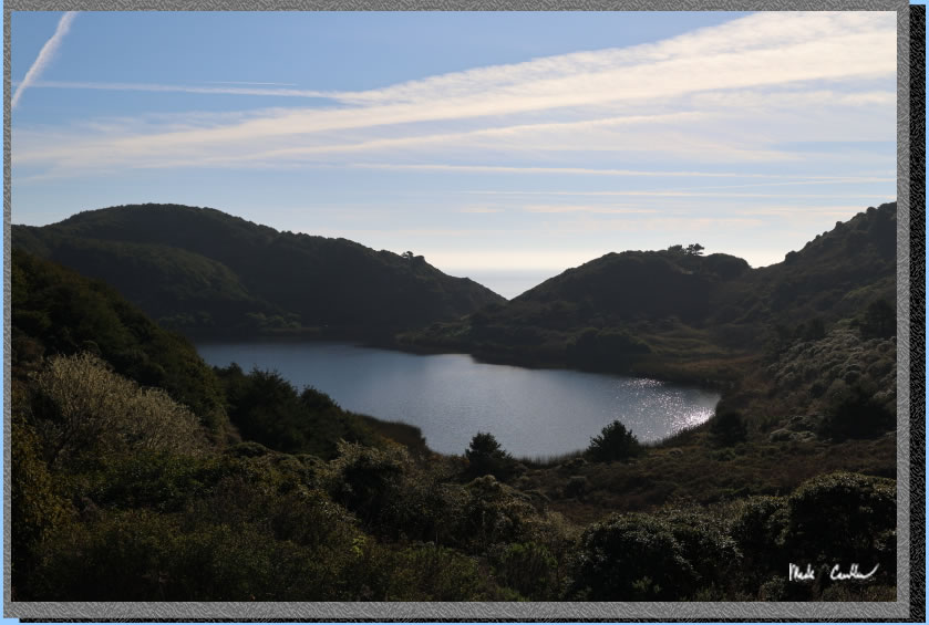
Bass Lake. There is a spur trail you pass that appears to access the lake. The trail continues uphill past Bass Lake. Trail is wider and covered again before it goes slightly down to next lake.
Here is the covered uphill section. Nothing too steep.
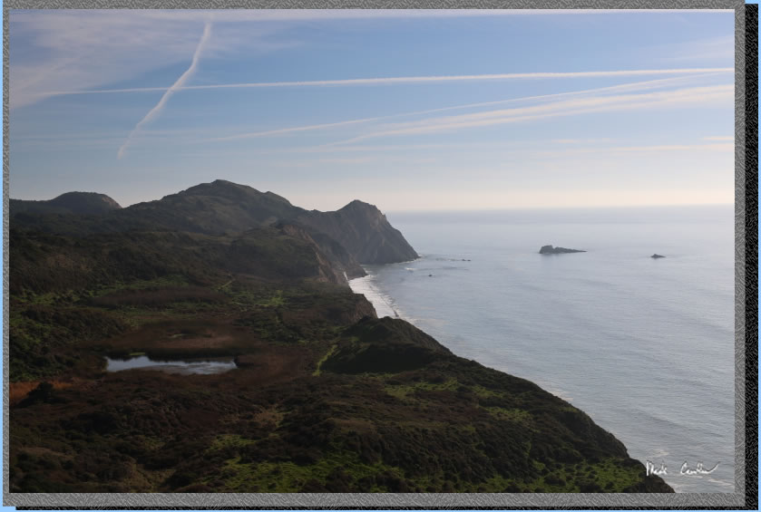
Here is the slightly down, exposed part with ocean views and Pelican Lake. The trail opens up again before heading downhill through covered dark (and scary) forest.
The picture below is not of the dark and scary forest. You can see Eric successfully navigating his way out. After the dark and scary forest the trail opens up again and is more rocky. Image below from a previous trip (Eric was not on this trip to navigate us through the scary forest).
You will next find yourself at a crossroads. You will have the decision to go left and get to Wildcat Camp, or take a right, and get to Wildcat Camp. We went left along the Ocean Lake loop for the better views on the blue day we were having. We did the Coast Trail on the way out the next day. Be sure to use the Ocean Lake loop on at least one leg of your trip.
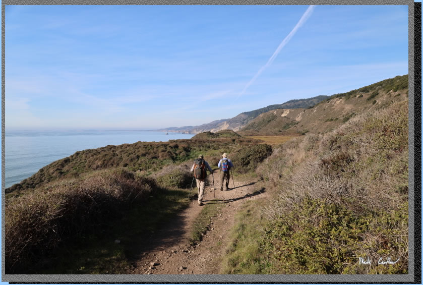
The trail with ocean views.
The section of steep trail.
Looking back toward Alamere Falls. The destination that afternoon after we set up camp (and double-checked the tide table) .
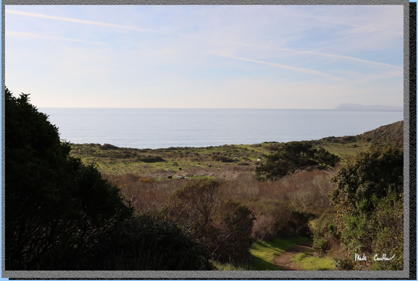
Before you know it you will be at the other junction with the Coast Trail. You are almost at camp now..
As you descend along the trail down to camp you can see both the ocean and camp.
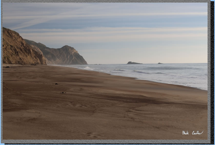
We setup camp and ate a late lunch before heading down to the beach to take the walk to Alamere Falls along the beach. We confirmed the tide was headed out so it was safe to take the mile walk.
You can see by the lack of foot prints there was a pretty high tide/surf recently. There was evidence the water was all the way to the cliff face in most spots. Don't be the hikers that make it on the news.
We really lucked out on the weather this December day.
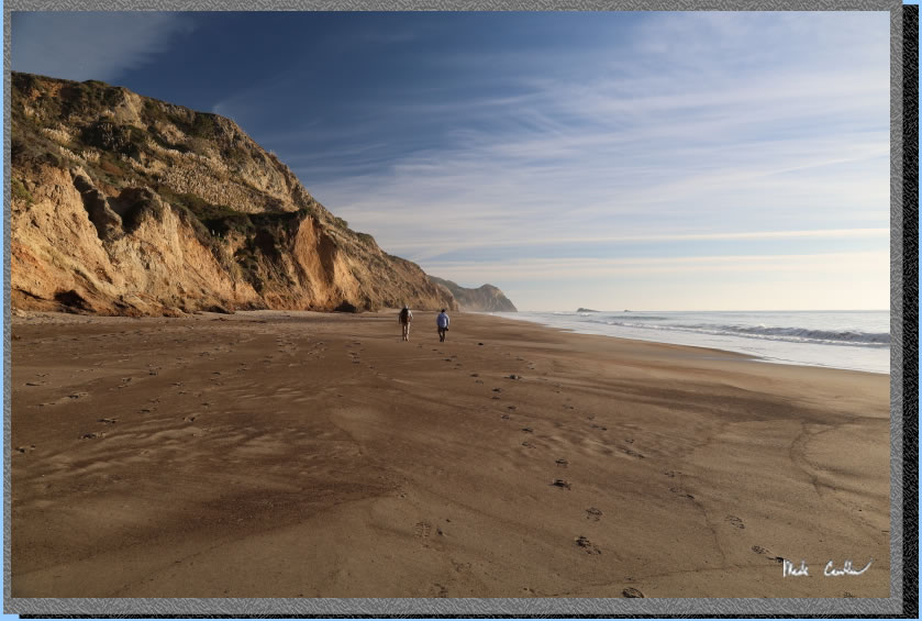
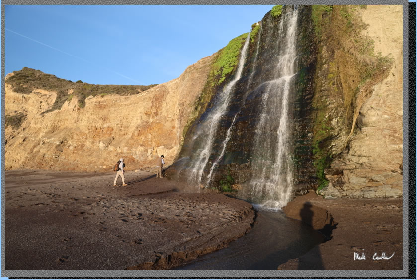
Almost to Alamere Falls. See the crowds?
Here we are hanging out at the base of the falls. It is an amazing thing to have a waterfall at the beach.
So there is a secret beach just past Alamere Falls (you can really only get to it at low tide). The lighting was magnificent and I took too many pictures. Here is one of my favorites. It is better in full resolution but the low rez shot below gives you the idea..
. 
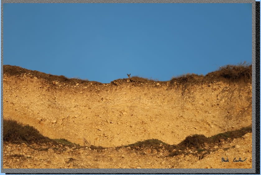
We noticed we had little light left so thought we should trek back. On the way back we saw this Tule Elk keeping an eye on us from up above.
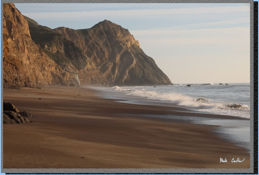
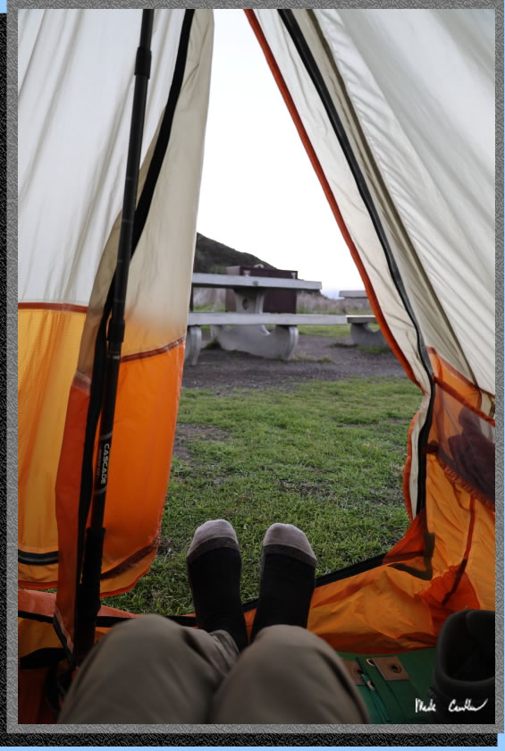
We stayed up chatting a while and went down to the beach that evening before calling it. It is easy to fall asleep out here with the crashing wave machine. Here is the shot of me exiting the tent the next morning. We lucked out and did not have the fog descend on us that night. We saw it lingering off the coast but it just stayed there. Fog can get thick out here and make everything wet.
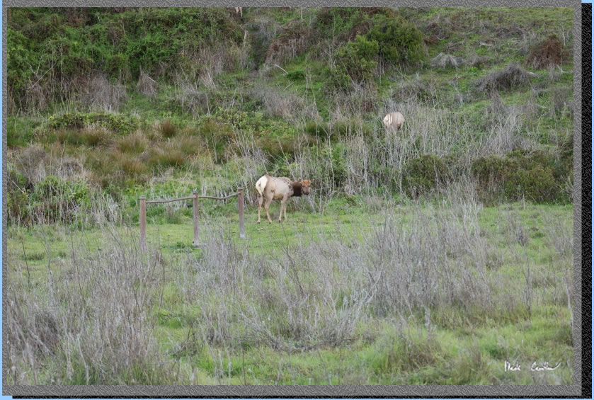
I took this picture of the wildlife around camp that morning. The Tule Elk are pretty brave until they spot you, and then tend to wander off.
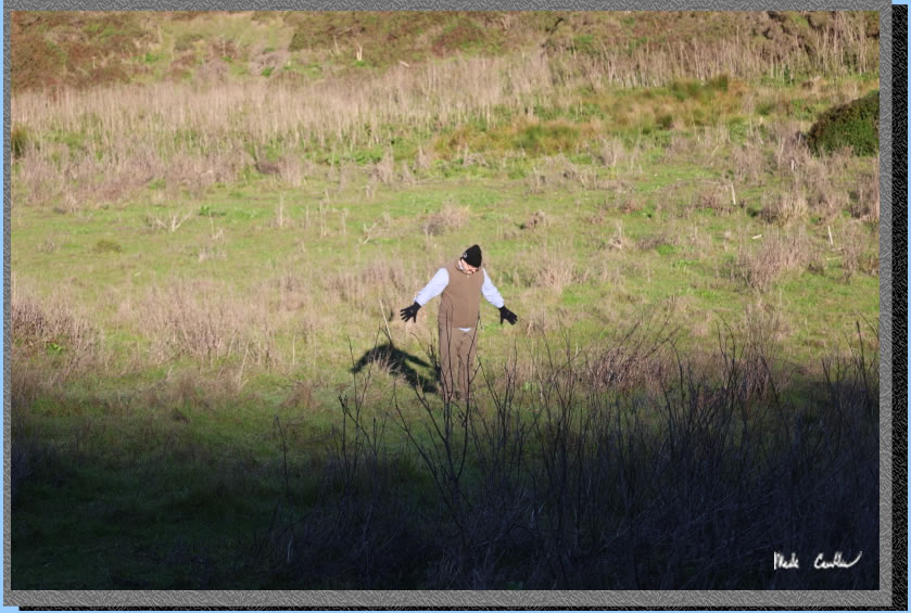
I also saw this other creature sunning itself after emerging from its night shelter...
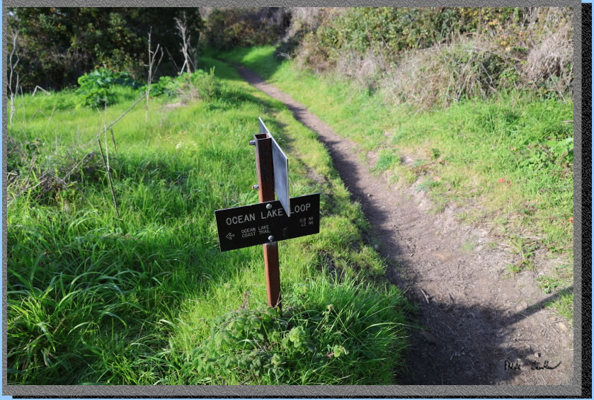
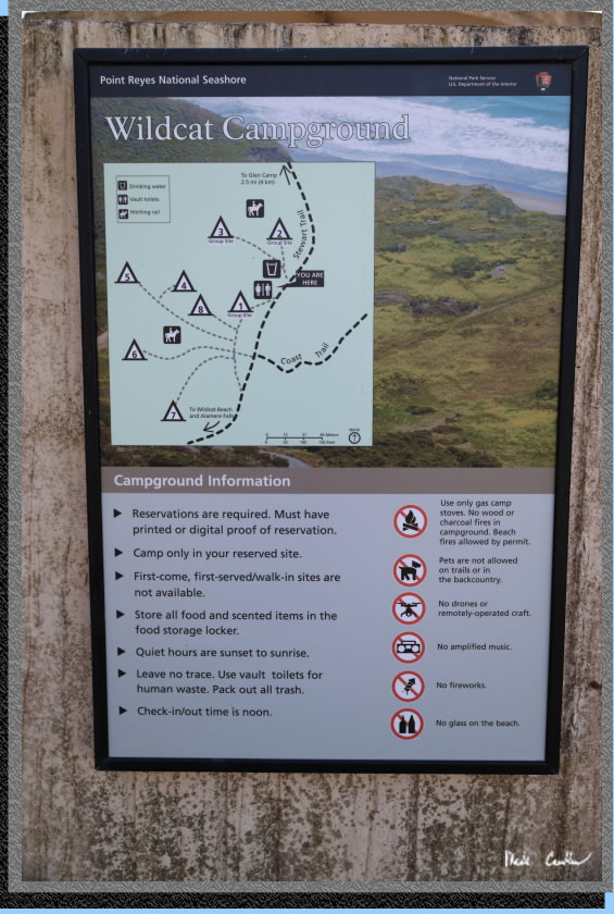
We hiked down to the beach that morning to make sure it was still there. There was definitely less of it with the high tide. We took our time and packed up and headed back. Here is the updated sign/map at camp. This one gives you the best idea of where the sites are located.
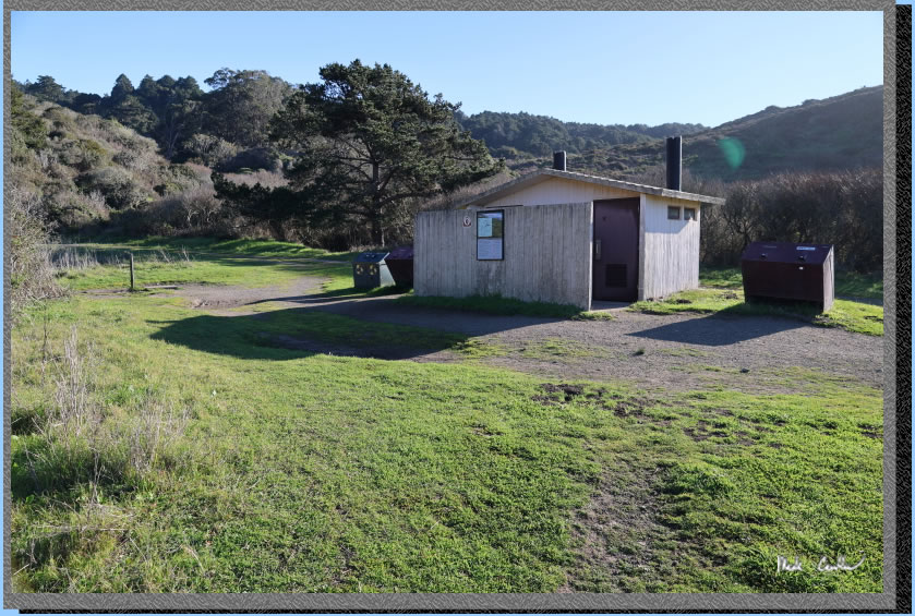
A shot of the facilities provided. Potable water on the left with trash/recycling and pit toilets in the middle of the image.
We used the Coast trail on the way out to make the semi-loop trip complete. I am going to be lazy and just leave you with some of the shots on the way out (without describing the whole trail again in reverse).
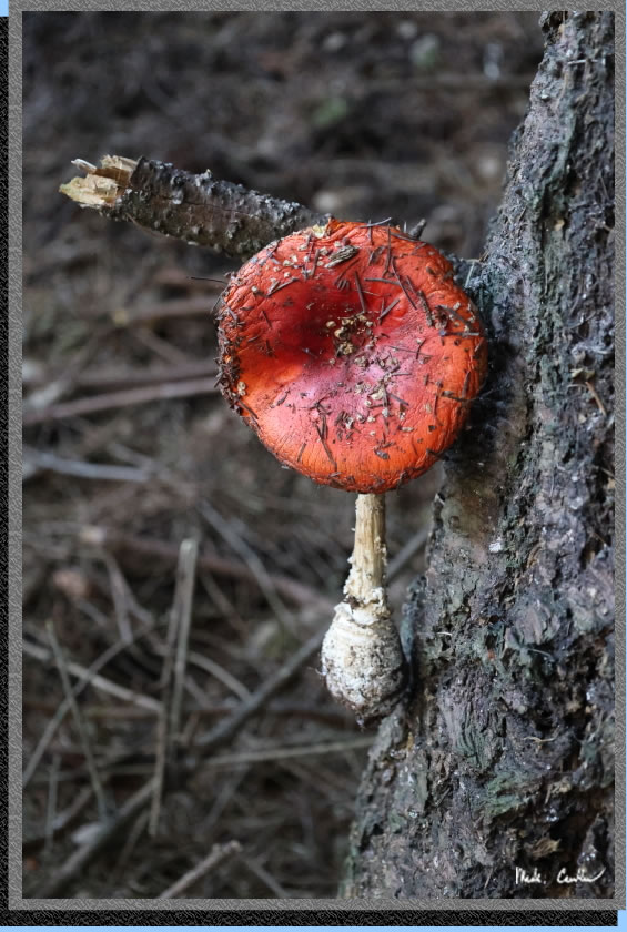
This mushroom caught my eye as it looked like a red stoplight to me on the side of this tree.
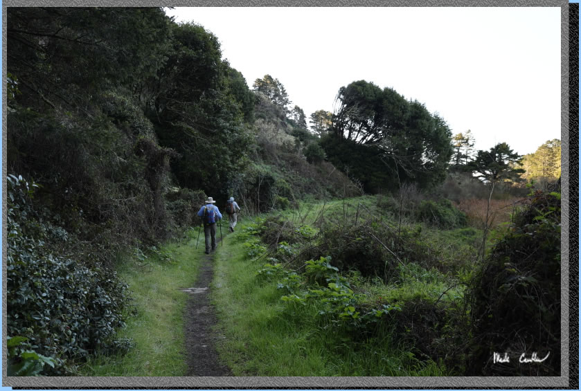
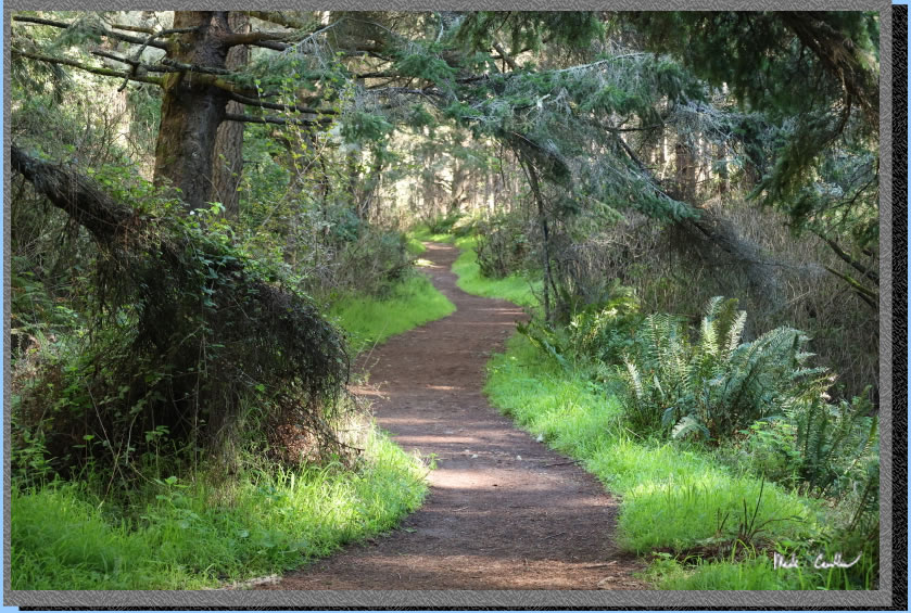
Picturesque trail that makes you want to keep hiking to see what is around the next bend.
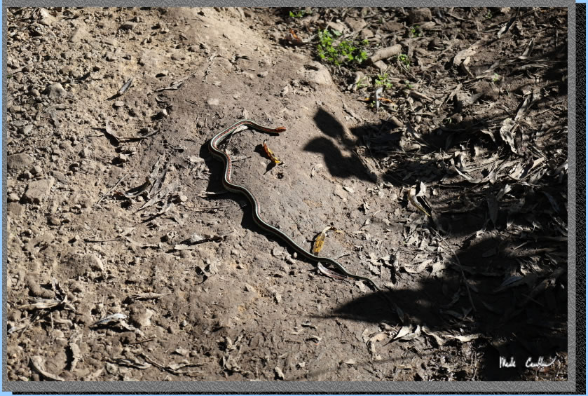
We were lucky enough to see this guy enjoying the sun on the trail (Common Garter Snake, but still beautiful).
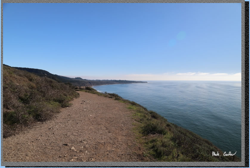
This section of trail is awesome on a clear day. It was hard to not keep stopping and take pictures. Make sure you get out to Point Reyes for at least a day hike.
Red line shows the path we
hiked from parked car at Palomarin Trailhead to Wildcat Camp (and back the next day).
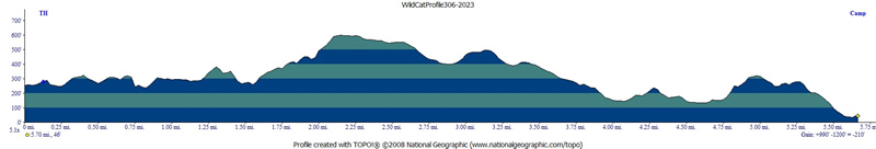
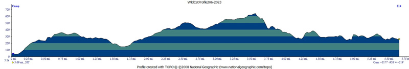
I didn't run my GPS on this trip (lazy) so am using a previous trip's map/profiles. On this trip we used the coast side (Ocean Loop) on day 1 and the inland way (Coast Trail) on the way out. The profiles below show the reverse. The trail along the coast is more fun, a little steeper, but has great views if the weather isn't too gray.
Click any image below for a larger version.
(back to top)
DAY 1
(back
to top)
Day 2
(back
to top)