![]()
 Permit
- A permit is required for all overnight stays on Angel Island. Permits
can be obtained using the state park website at www.reservecalifornia.com.
Permit
- A permit is required for all overnight stays on Angel Island. Permits
can be obtained using the state park website at www.reservecalifornia.com.
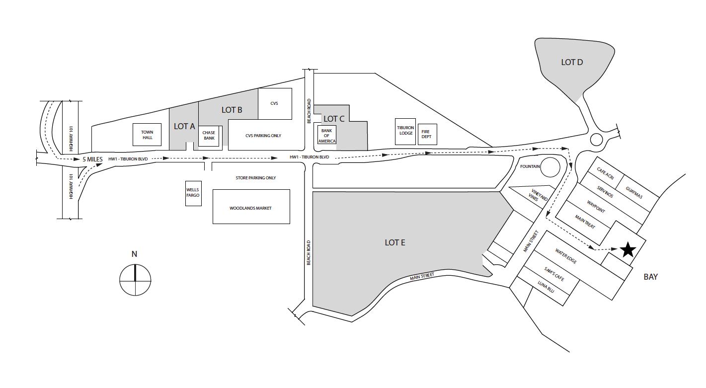
Transportation/Parking - Your options include private charter, Tiburon Ferry or Blue and Gold. Be sure to check the ferry schedules prior to making your camping reservation. Ferry service is limited in the off season. For parking in Tiburon see map below map/profile. Parking is credit card at Lot A and Tiburon Ferry you can reserve ahead on website (choose camper rate).
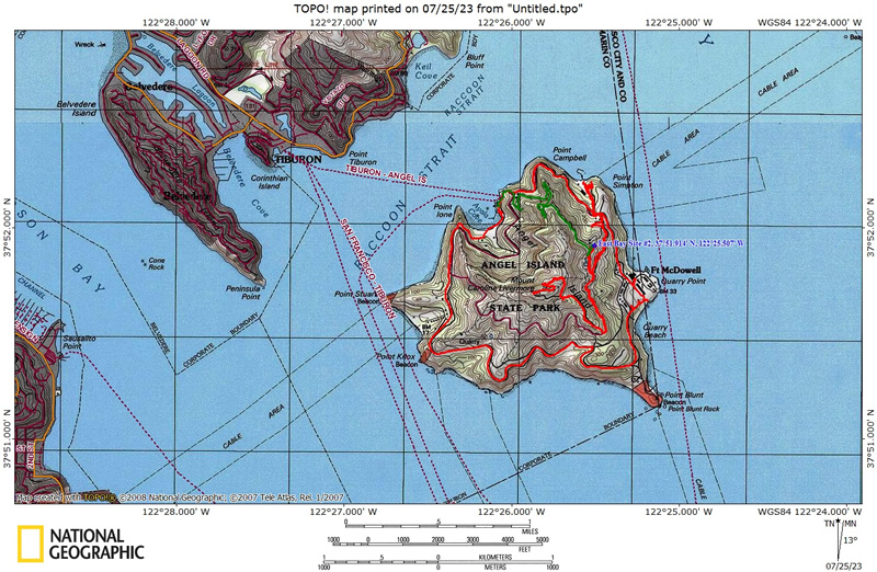
Mileage - East Bay sites are 1.5 miles on the way in (walk from ferry dock to campsite). Your mileage may vary depending on your campsite and route/exploring selection. See map/profile below of all the hiking we did. Trail map is here.
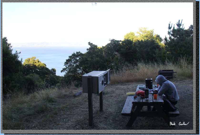
Camps/Water - There is a bathroom (pit toilet), trash can, and water at each group of campsites. Once you check-in with ranger after reaching dock there is a bathroom and cafe (seasonal). Winter storms have closed the cafe as of 07-2023 (should be open summer 2024 after repairs). Snack bar may be open.
Hazards - Mice, raccoons, Poison Oak, missing your ferry. Nearest Ranger # 415-435-1915 (always check with ranger ahead of time for current water/trail conditions).
Tyler and I made this trip to Angel Island.
For other site descriptions use these links (trip to Sunrise site #8 in 2010, East
Bay site# 2 in 2013 and Ridge site in 2021). Sunrise camp has uninterrupted views, but East
Bay site #1 is big, away from neighbors, and has shade and some shelter
from wind. I think all three East Bay sites rock compared to Sunrise
on the whole. The Ridge sites are the most exposed, but have the killer
views of the San Francisco skyline. Ridge site #4 has the best views
but no shade and no shelter should the wind/weather head in. Each group
of sites has a water faucet and pit toilet. We used the Tiburon
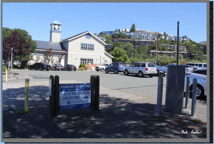
Ferry on this trip. It is about a ten minute ferry ride to Angel Island. We parked at one lot "A" couple blocks from the ferry.
Parking in lot "A" has a machine but some of the other lots are cash only. The ferry is supposed to be reservation only. However, we saw people paying in person via QR code to go to their website on their phone. Here
is Lot "A" adjacent to the civic center.
. 
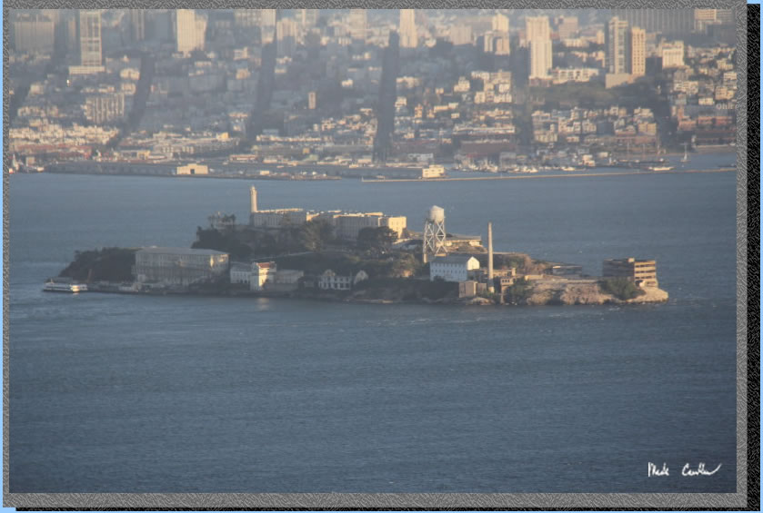
We had booked the 11 am ferry on this trip. If you are looking for food/caffeine there is Cafe Acri on the corner. I have eaten here a couple times and food was good (and it is still recommended by the locals). It is a nice urban stroll to the ferry dock that is hard to mess up. Here is Tyler on the ferry with Angel Island in the background with a fog hat. 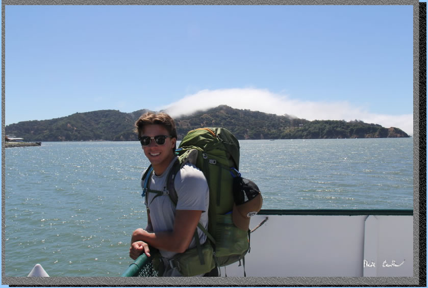
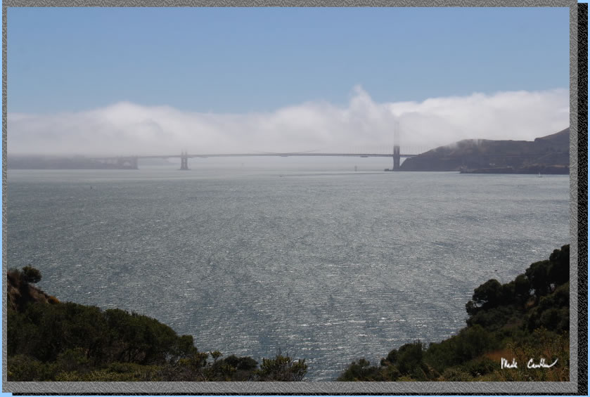
Be sure to enjoy the views (assuming no fog) of the Golden Gate on the ride to Angel Island. City views will be on the starboard side on the way in.
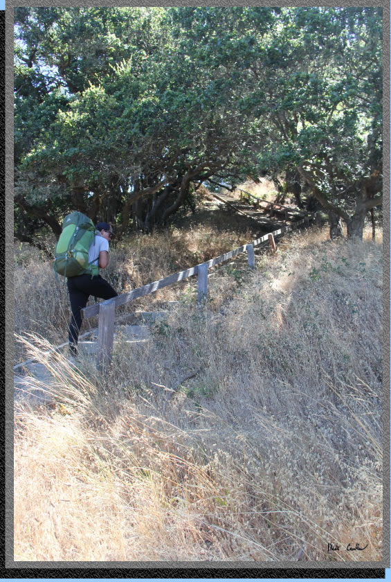
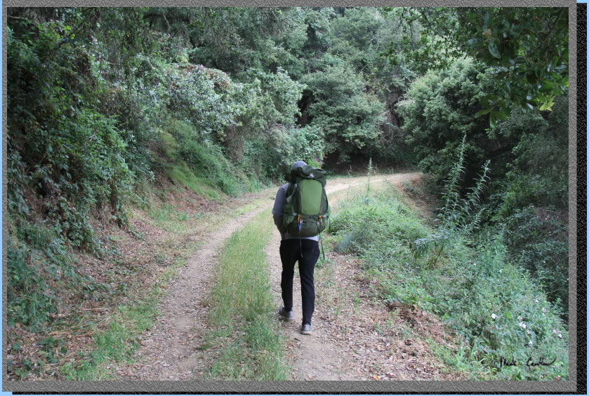
After you get off the ferry you need to head over to the ranger kiosk. Rangers make sure all the ferry passengers have debarked first, so take your time when getting off the ferry. After we checked in with the ranger, and went over the rules, we hiked past the cafe to the stairs that take you up to the Perimeter Road. There is some Poison Oak just off the trail at the service dock/boat launch area. Always a good idea to make sure everyone in your group knows what it looks like. Here we are climbing the stairs.
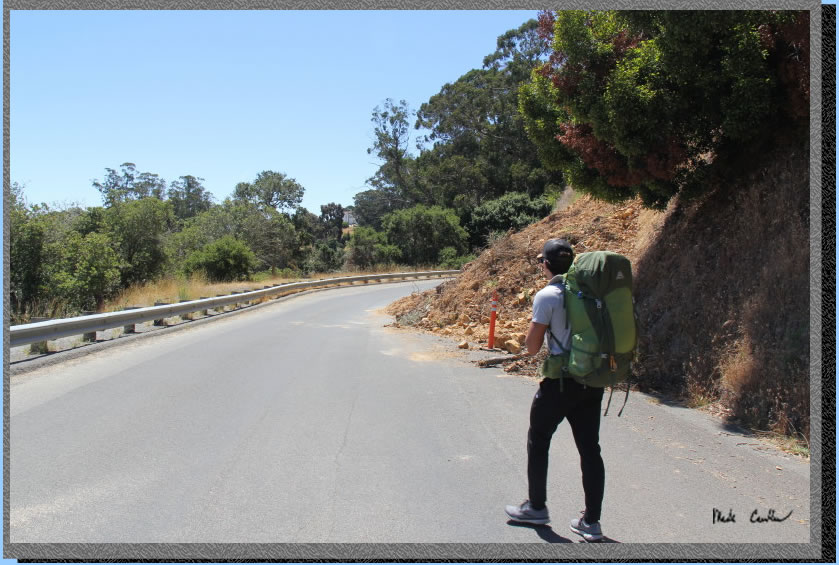
Our plan was to setup camp and eat lunch before setting off to explore the island. We stayed on the Perimeter Road past the Immigration Station and take a right on the gravel fire road. You take another right and go up the hill past the fenced off water tanks to get to camp. Here we are on the Perimeter Road near a slide from the winter storms. The other option is the North Ridge Trail which we took on the way out. Both are about the same mileage. However, the trail option feels more like a backpacking trail.
Before you know it you will be at the East Bay sites. Sites #3 is the first one you pass. Here is a view of this site from the trail.
Here is site #2 with our tent setup. There are two spots for normal backpacking sized tents.
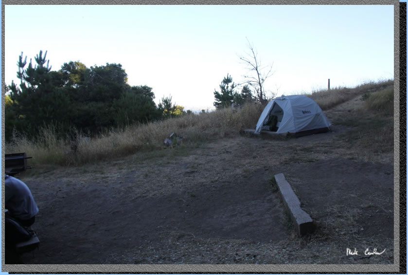
The locker is in great shape and good views to the east. The shadows are because these shots were taken in the evening. I neglected to take any pictures during lunch.
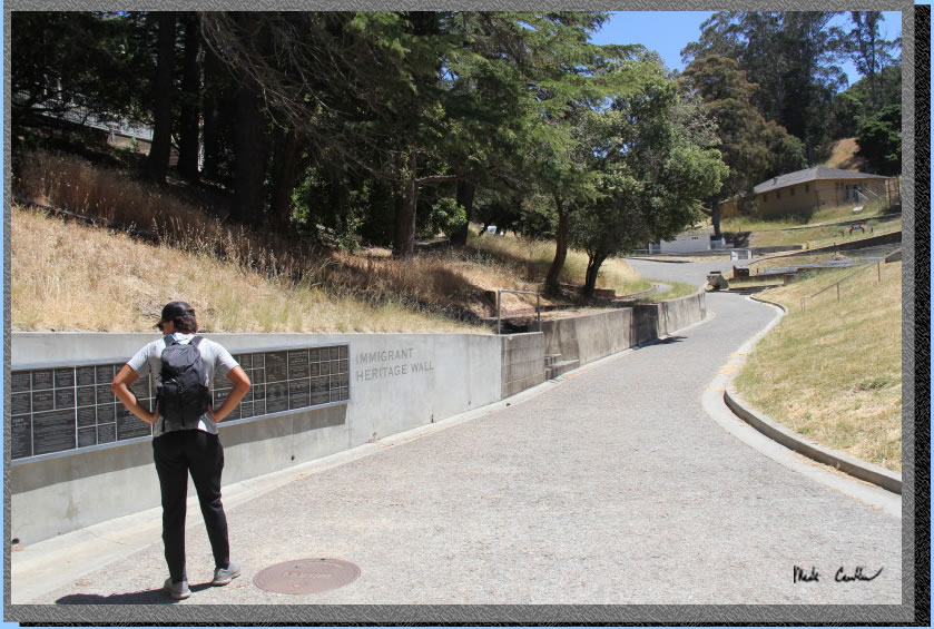
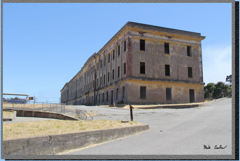
After lunch we headed back down to the Immigration Station and went through the newly renovated hospital. Hospital is up on the left of Tyler in this shot. This is the historic hospital, you are not going to receive any medical care here.
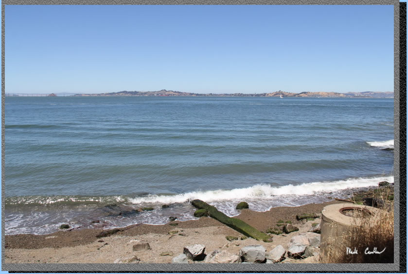
The beach at China Cove (at the Immigration Station). It is small but fun to walk out on.
We continued to hike around the island in a clockwise direction. We headed through Fort McDowell, always fun to explore.
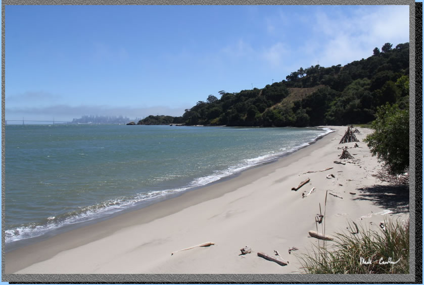
Here is Quarry Beach on this windy day. I have yet to see anyone else out on this beach when I am out here.
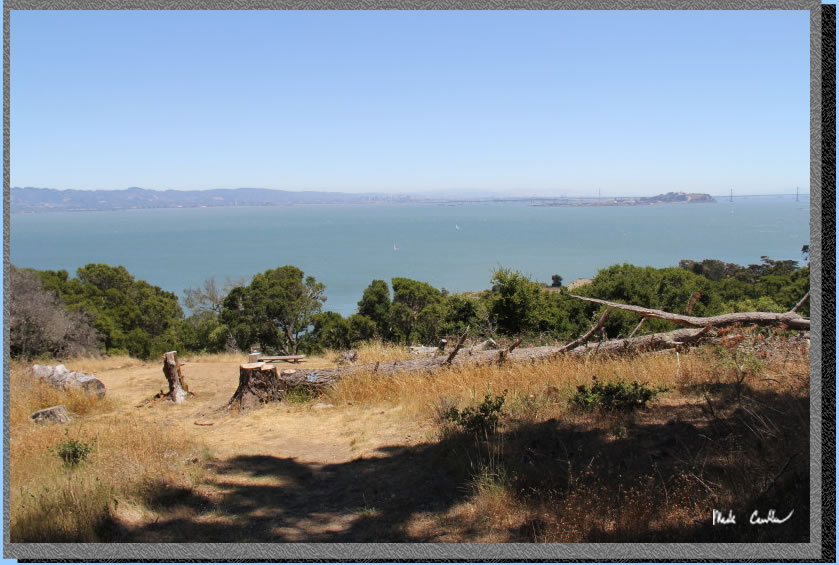
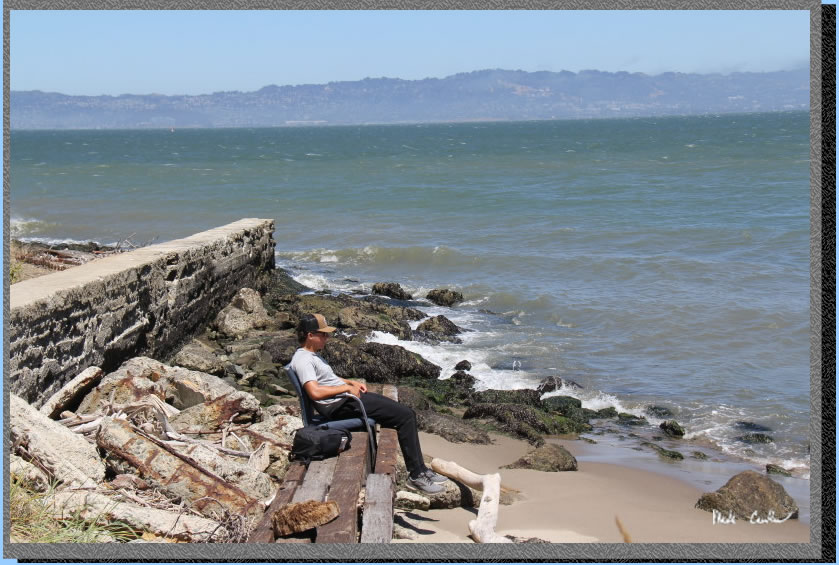
Tyler found a chair to relax in while he took in the Bay Bridge and San Francisco views.
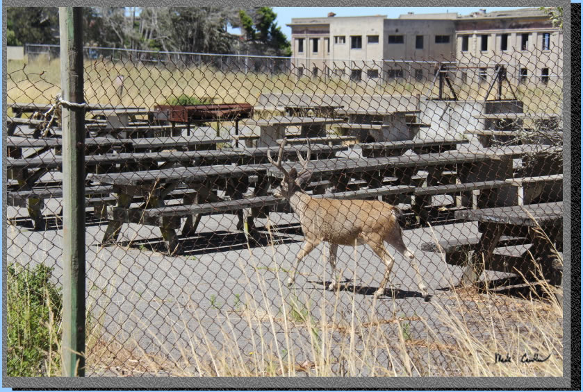
A nice buck headed through the picnic area at Fort McDowell.
Here is one of the many information boards at the historic sites on the island. Tyler is looking to see "where the nukes are". I don't think he believed me when I told him there were no nukes on the island..

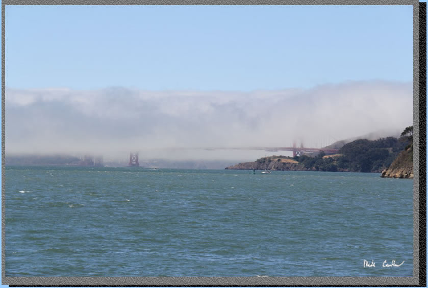
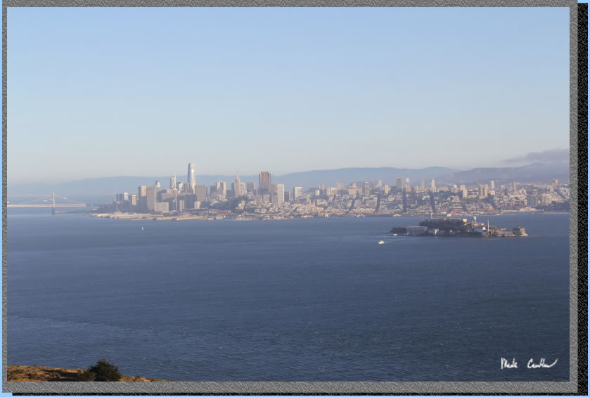
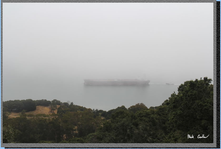
The fog and wind kept us cool on our hike around the island. The south side of the island has great City views.
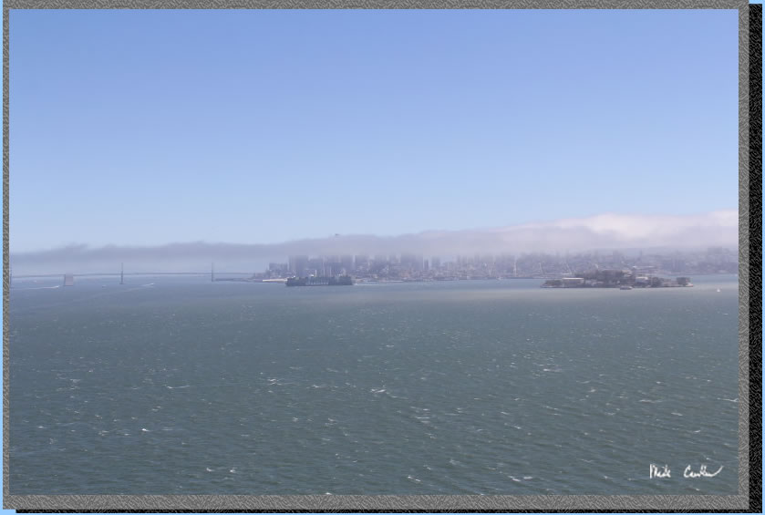
I wonder how many tourists come and never get to see the Golden Gate Bridge because of Karl.
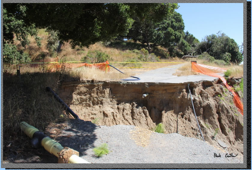
So the Perimeter Road washed out in one spot due to the storm. You can still pass by on foot.
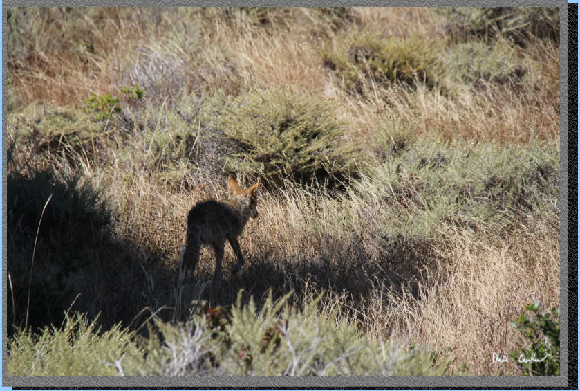
We continued our hike and ran across this coyote snooping around. We were near the Ridge sites at this point.
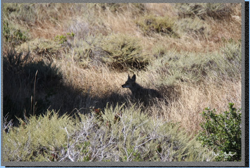
He was a little camera shy and took off once he noticed us.
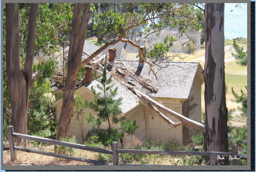
We didn't hike down through Camp Reynolds this time. We stayed on the Perimeter Road and saw this house damaged by the winter storms. We had planned on trying to make it to the cafe before it closed. I would say make time for Camp Reynolds and check out the historic buildings..
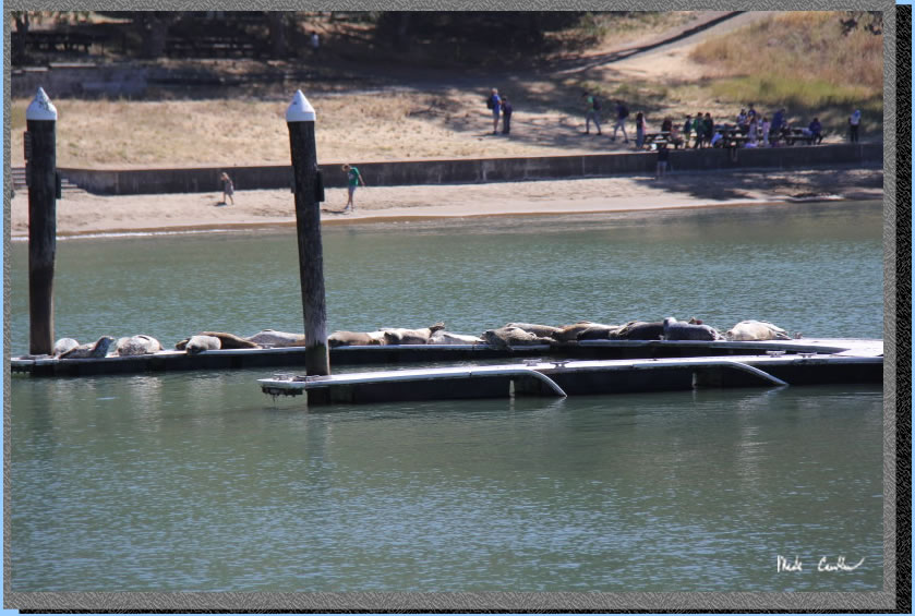
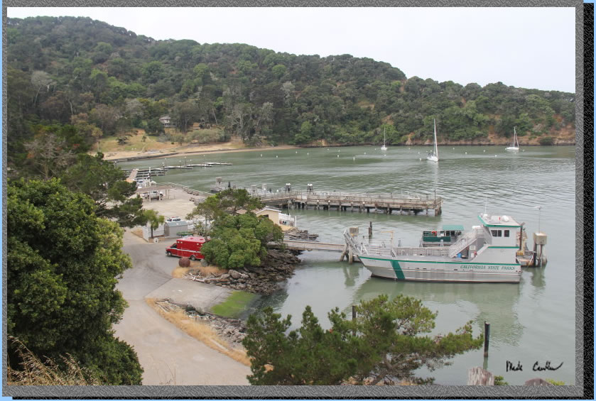
We made it back around to Ayala Cove and the seals out on the docks.
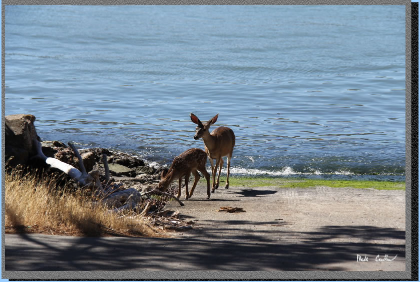
We stopped by the cafe and found out is closed and being repaired (we rushed for no reason). They are hopeful it will open again summer of 2024. They told me they do run a little snack bar but with limited hours. It sounds like the staff for it ride the Tiburon ferry, so closes before the last Tiburon ferry. We hung out for a bit and watched a ferry leave before deciding to head back to camp and rest our feet some before dinner and the planned night hike to Mount Livermore. Here are some deer at the service dock/boat ramp.
We had a nice dinner and then started hiking to Mount Livermore for the sunset. The hike is about 1.5 miles each way, with some uphill (500 feet worth). The trail gets narrow and has some Poison Oak, but not terrible amounts. We were able to avoid it but can both identify it well. I get it bad, so I am motivated to not touch it.
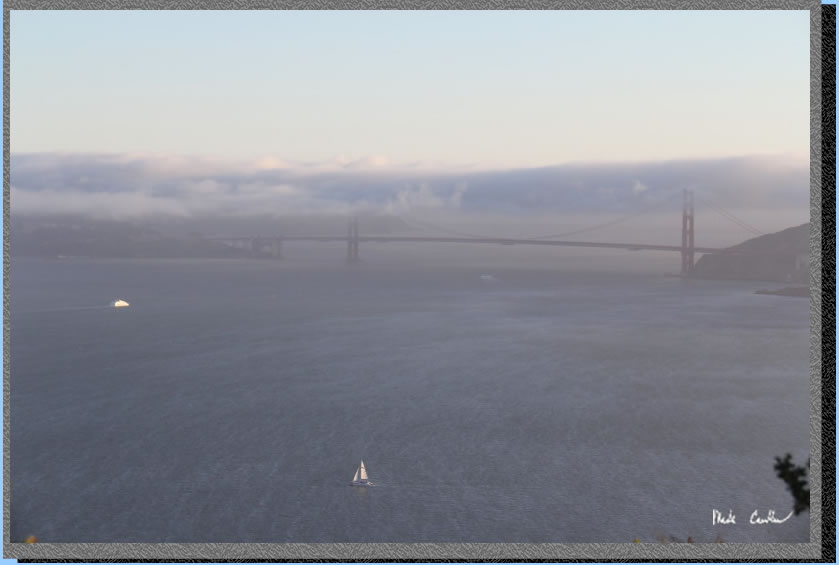
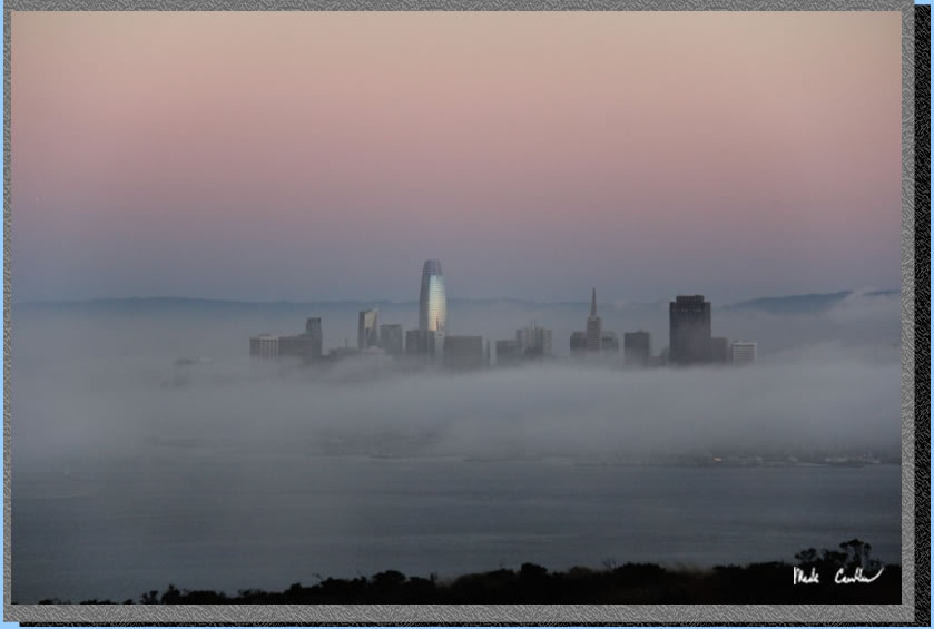
Karl turning everything gray.
Awesome lighting and views.
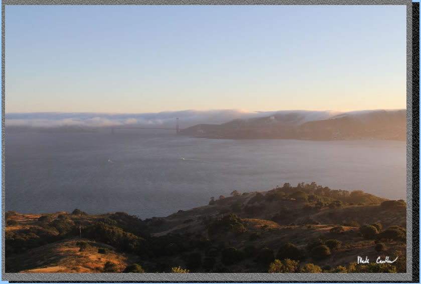
The Salesforce Tower catching the last of the day's sun (well the top 30 or so floors anyway). Be sure to consider at least partially hiking up the trail to Mount Livermore. The wide paved section has some great views. If you hike to the top you need to be ready for the potential cold/wind.
We had a chilly but great sleeping weather night. Tyler wanted to take the fire road/North Ridge Trail on the way out. From camp you go right and up the road/trail before it quickly levels out.
There are some views to the north (when it is not so foggy).
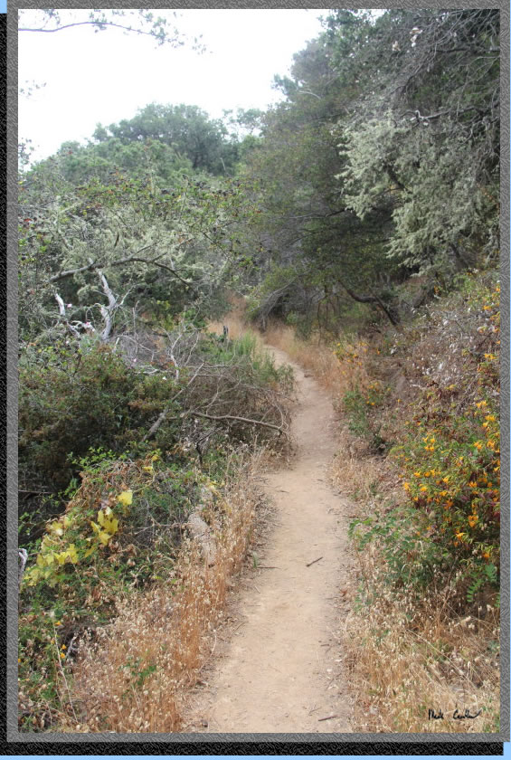
The Northridge Trail is mainly downhill and narrow. There is a little Poison Oak, not as bad as the trail to Mount Livermore though.
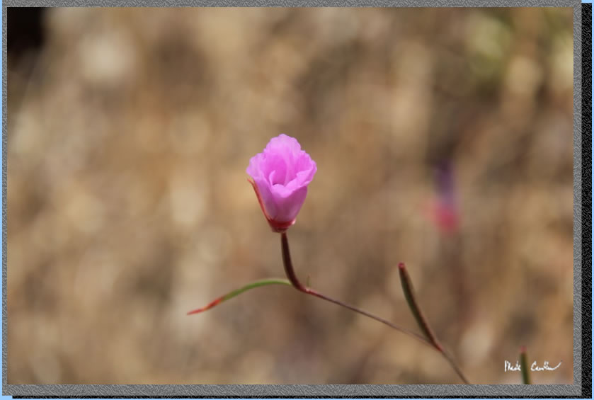
Keep heading down to the ferry dock. Another great trip to this historic island. I will end this trip description with some of the wildflower pictures I took.
I think the flowers liked the winter rain.
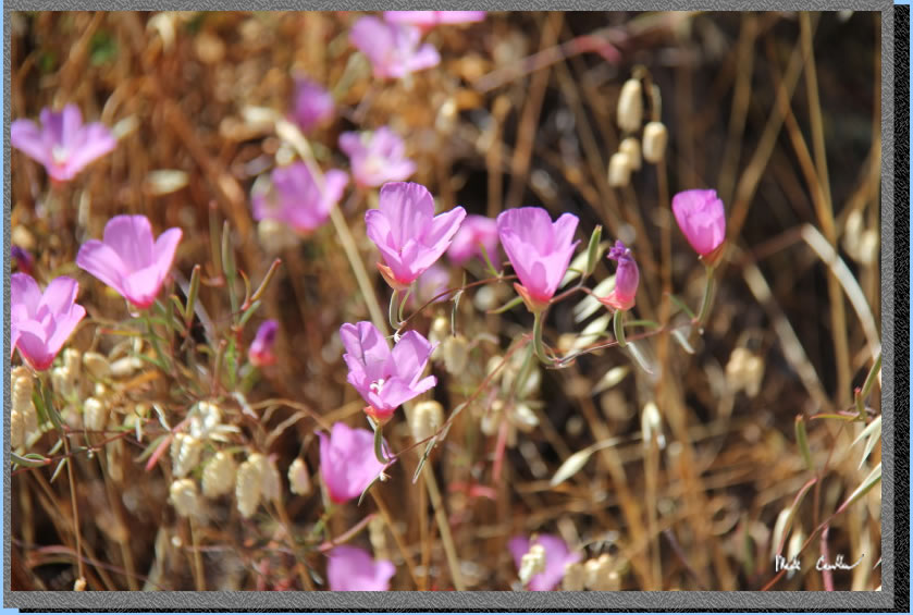
I was trying to take a picture of each type of flower...
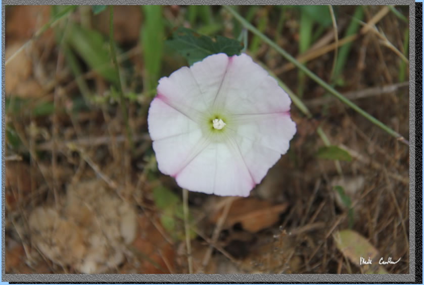
Maybe my favorite one.
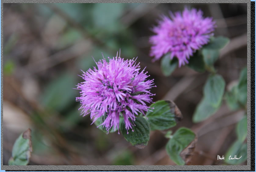
The flowers were not the best at holding still for me on this trip.
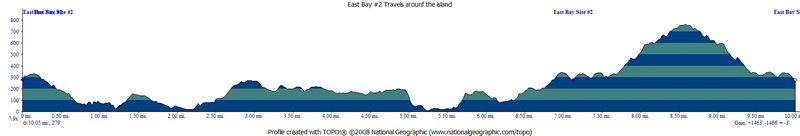
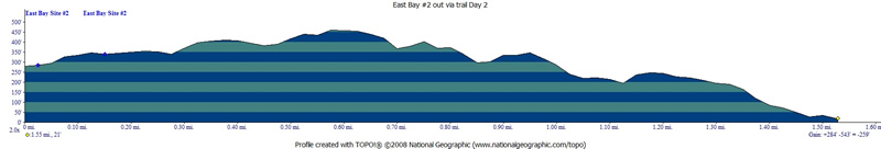
Red lines show our travels on day 1 and the hike out in green on day 2. Click on either the map or profiles to see larger versions.
PARKING:
Overnight parking
is allowed in lots A, B, D. The star on this map is the dock for the Tiburon Ferry.
Click on map to see larger version.