![]()
 Permit
- A permit is required for all overnight stays on Angel Island. Permits
can be obtained using the state park website at www.reservecalifornia.com.
Permit
- A permit is required for all overnight stays on Angel Island. Permits
can be obtained using the state park website at www.reservecalifornia.com.
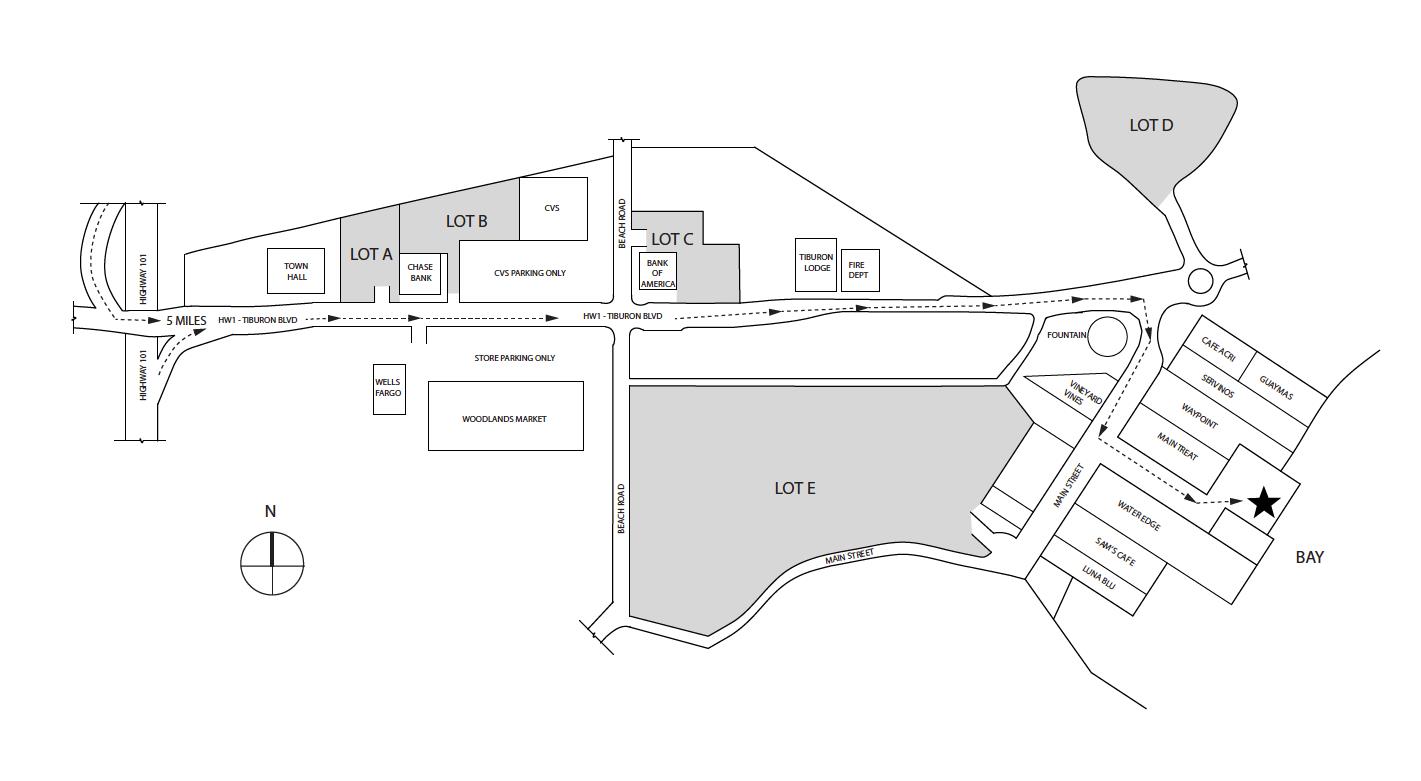
Transportation/Parking - Your options include private charter, Tiburon Ferry or Blue and Gold. Be sure to check the ferry schedules prior to making your reservation. Ferry service is limited in the off season. For parking in Tiburon see map below map/profile. Parking and Tiburon Ferry are cash only.
Mileage - We did 2.2 miles on the way in (walk from parking to ferry dock and dock to campsite). Your mileage may vary depending on route/exploring selection. See map/profile below. Trail map is here.
Camps/Water - There is a bathroom (pit toilet), trash can, and water at each group of campsites. Once you check-in with ranger after reaching dock there is a bathroom and restaurant (seasonal).
Hazards - Mice, raccoons, Poison Oak, missing your ferry. Nearest Ranger # 415-435-1915 (always check with ranger ahead of time for current water/trail conditions).
Tyler, Eric and I made this trip to Angel Island. Eric was able to score a campsite (likely because Covid has made transportation to the island trickier as of late).
For other site descriptions use these links (trip to Sunrise site #8 in 2010, East
Bay site# 2 in 2013 and East Bay site#1
in 2019 ). Sunrise camp has uninterrupted views, but East
Bay site #1 is huge, away from neighbors, and has shade and some shelter
from wind. I think all three East Bay sites rock compared to Sunrise
on the whole. The Ridge sites are the most exposed, but have the killer
views of the San Francisco skyline. Ridge site #4 has the best views
but no shade and no shelter should the wind/weather head in. Each group
of sites has a water faucet and pit toilet. We used the Tiburon
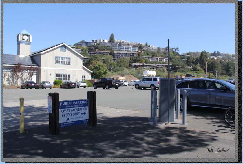
Ferry on this trip. We caught the 11 AM ferry out of Tiburon (after I ran back to the car to warm up, and retrieve my phone off the dash). It is about a ten minute ferry ride to Angel Island. We parked at one lot "A" couple blocks from the ferry.
Parking in lot "A" has a machine but some of the other lots are cash only. The ferry is supposed to be reservation only. However, we saw people paying in person. If you need cash there is an ATM after parking (there
is one near the bathrooms at the ferry dock too) or plan ahead. Here
is Lot "A" adjacent to the civic center.
. 
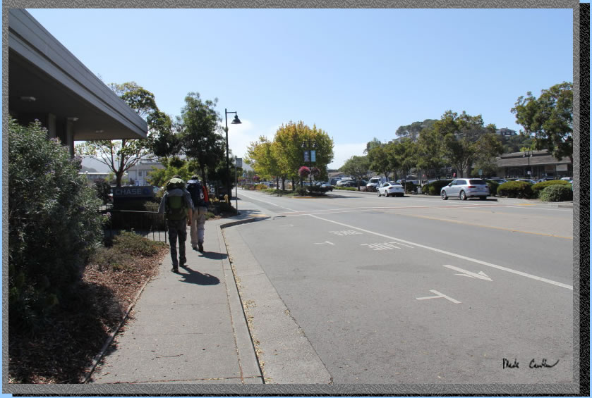
Here is the urban hike to the TIburon Ferry. The ferry terminal is on the other side of the street. However, there is a plethora of construction in Tiburon. There was even a detour on the way in. We had booked the 11 am ferry on this trip. If you are looking for food/caffeine there is Cafe Acri on the corner. I have eaten here a couple times and food was good (and it is still recommended by the locals). The other food option I have used
is Angel Island
Cafe, which is on Angel Island. Be sure to check ahead of time if
you decide to count on them being open for a meal. They have limited
hours in the off season/pandemic. The
Cafe was open when we were there Wednesday/Thursday.
We had to take a picture of this establishment. I haven't looked it up yet as I like the mystery of what it could be better...
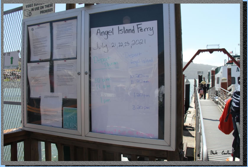
The ferry service is listed here on this board. I will say to be sure that you plan on how you will get back off the island. The ferry is not running everyday yet. The schedule is also on the website and you can book regular and camping tickets. Camping tickets are a little cheaper as you have already paid your park admission when you booked the site.
Be sure to get a seat on the starboard side of the ship on the way there for views like this. I recommend going to the open air top deck, assuming they are running the larger size ferry. I have been on the smaller one which is also fun, just one deck though.
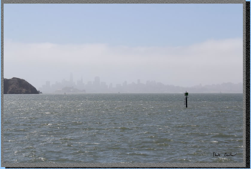
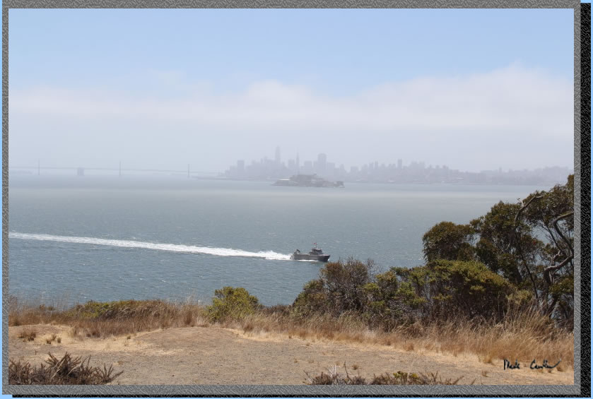
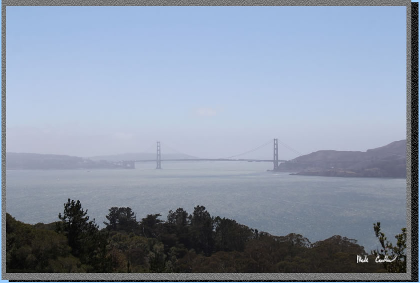
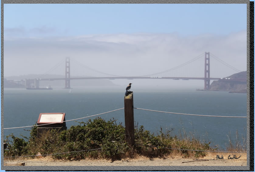
Views included fog/haze most of the trip. here is what the Golden Gate Bridge looked like most of the day. It was surprising that with the wind the fog was still able to hang around. 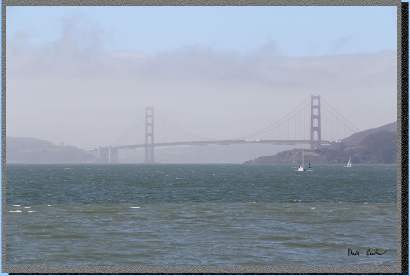
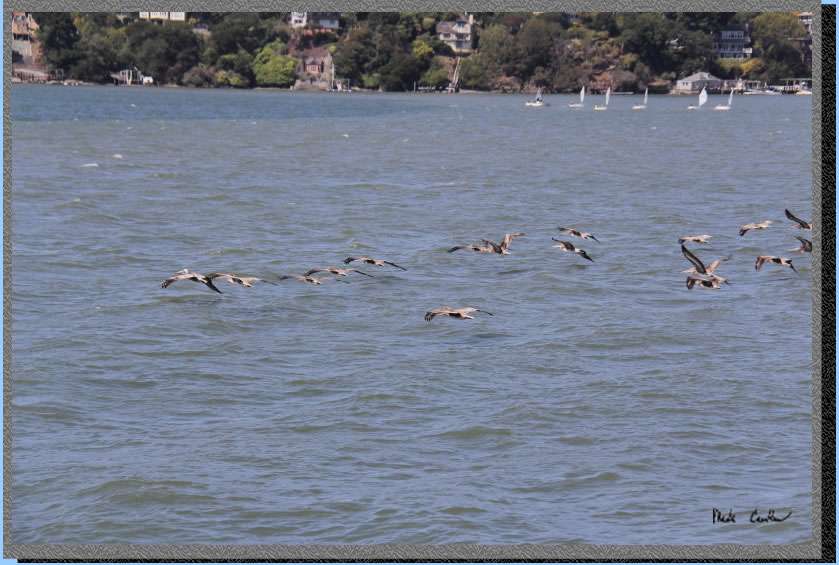
The brown pelican squadron was out and about. It is amazing that these large birds so effortless glide an inch from the wave crests.
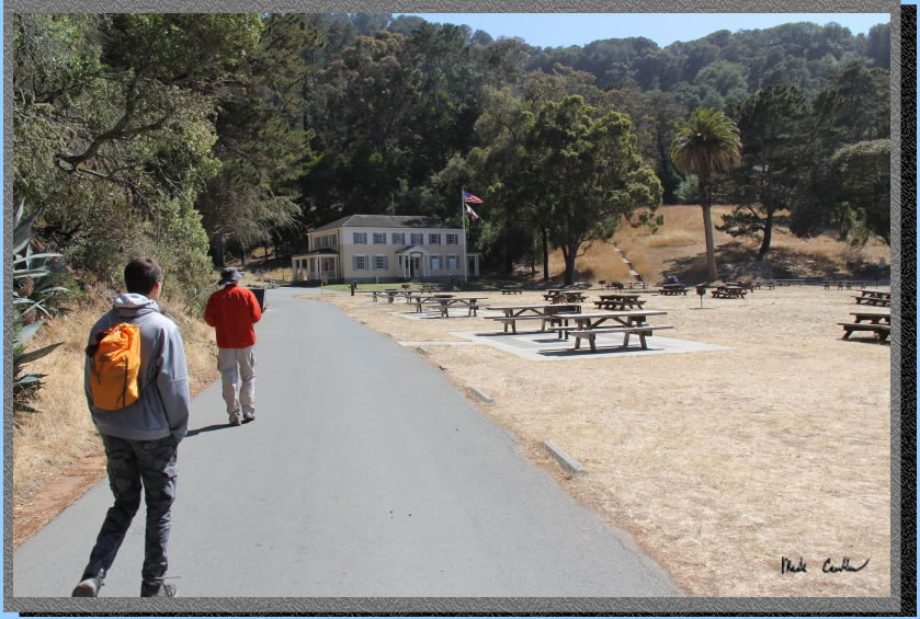
We got off the ferry and headed ashore. Your first stop will be to check-in with the ranger. The ranger will go over all the rules and explain that you will be on an island to explore on your own. The ranger has to make sure everyone else gets off the ferry prior to checking in campers. So don't worry about being the first off the ferry, aim for last.
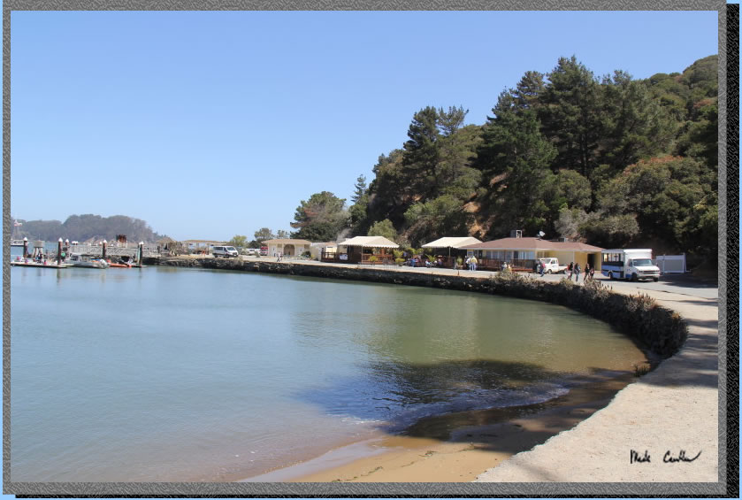
We hiked past the cafe and then the visitor center to the trail to the stairs that take you up to the Perimeter Road. Here is the view from the trail.
Here is the trail.
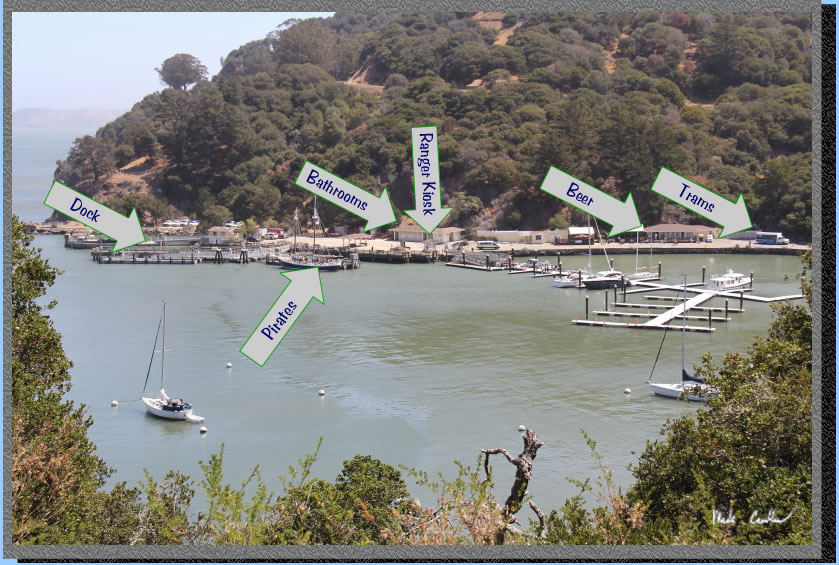
Here is the
view toward the dock, labeled for your convenience.
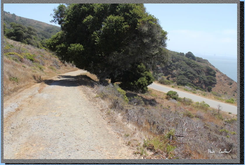
The Perimeter Road.
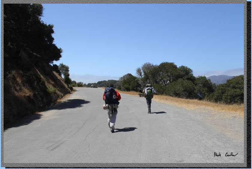
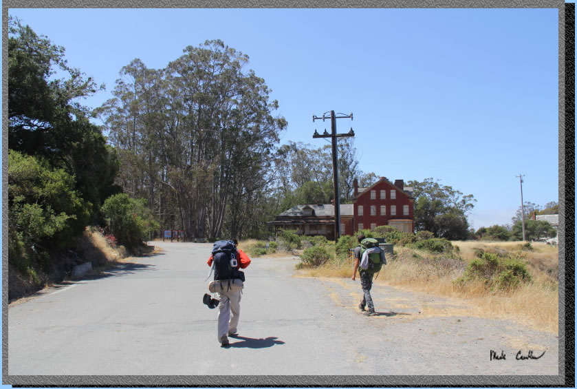
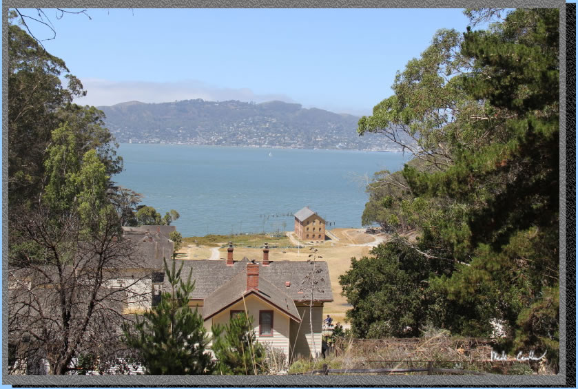
There is a lot to see/explore on the island. The beauty of staying on the island is you don't have to worry about missing the ferry. This is some of Camp Reynolds.
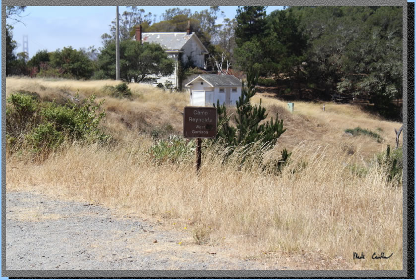
Here is the hospital building at Camp Reynolds.
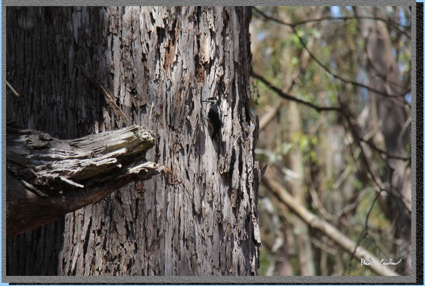
Can you spot the woodpecker.
Make sure you take the walk down to Camp Reynolds. Amazing history and great views of the City from the water.
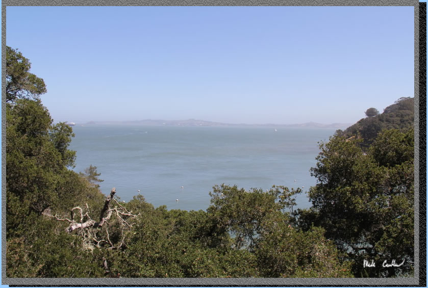
Gray views of San Francisco from the Perimeter Road.
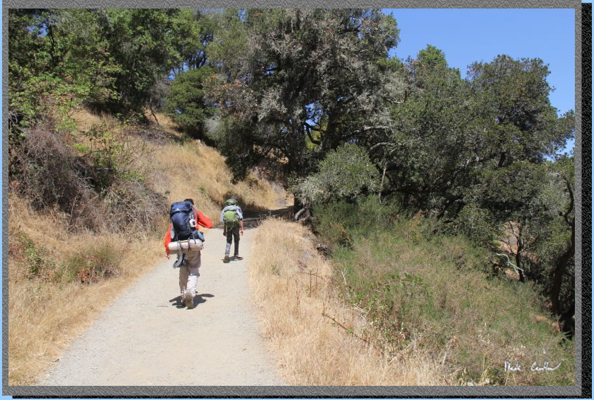
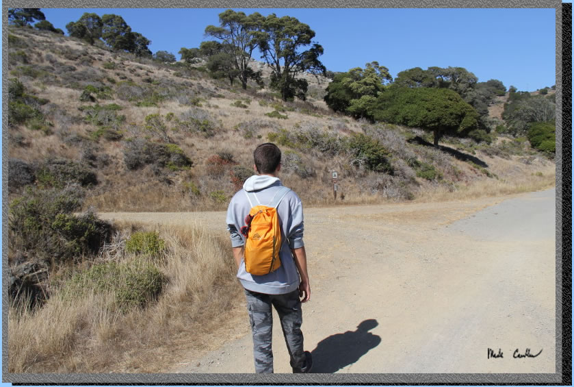
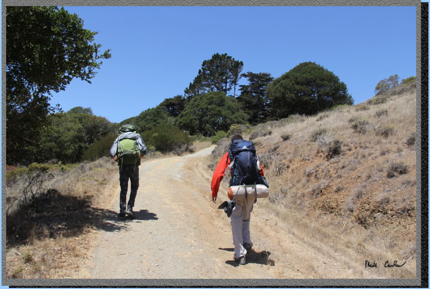
Here is the left turn from the Perimeter Road to the Ridge campsites. All trails are well marked out here. This picture was actually taken after we had day hiked back to the cafe that afternoon. Tyler did not pack that light for the trip.
Here is the view looking back down the hill after making the left to get to camp.
The uphill to camp.
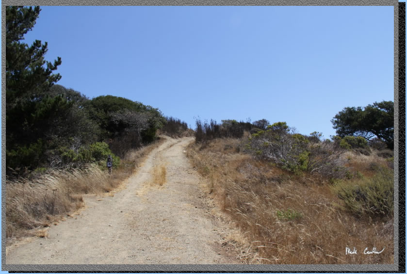
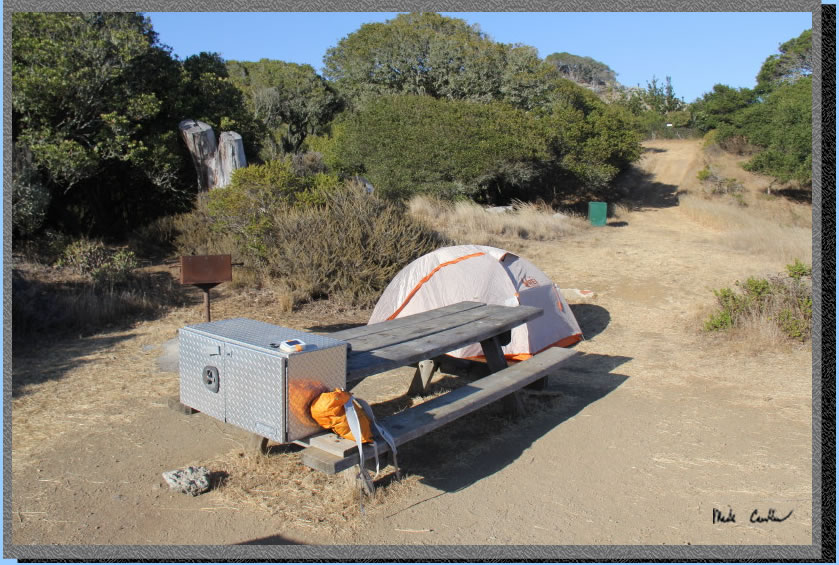
Ridge Site #4 is up on the top. Outhouse is located to left here. Check out the garrison near the bathroom. Be mindful that Poison Oak is plentiful on this island and to stay away from it. Water is also located here.
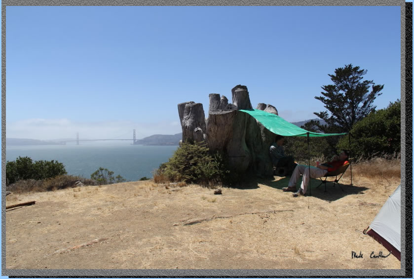
We made our own shade at our site. After setting up camp and shelter we decided that a day trek back to the cafe to see what they had that was cold sounded good.
Even in the poor light/haze conditions this bridge looks good.
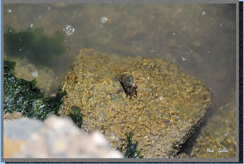
Once the last ferry left we decided to take the stroll back to camp. The wildlife seemed to recognize the island was safer now. Here is a crab out in the sun. He had some friends that were hiding once I pulled my camera out.
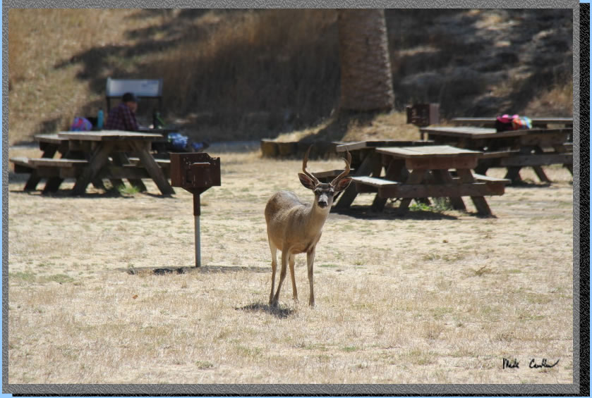
This deer was plenty brave. He watched us, but only with curiosity as we passed.
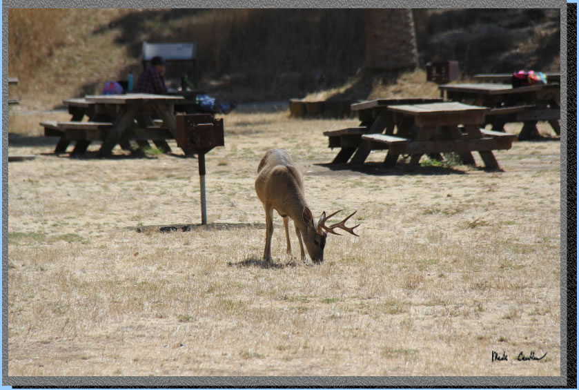
After we passed he went back to grazing.
This is the Visitor Center. It is popular with day camps and people wanting to just have a nice place to sit and eat.
Here is another shot of camp. Water is provided via a spigot to left of barbeque. The food locker is very secure at this site. You are allowed to use briquettes in the grill. I would be a little nervous at this site though in the wind.
The wind quickly cooled things down. We watched all the ships go by while making/eating dinner.
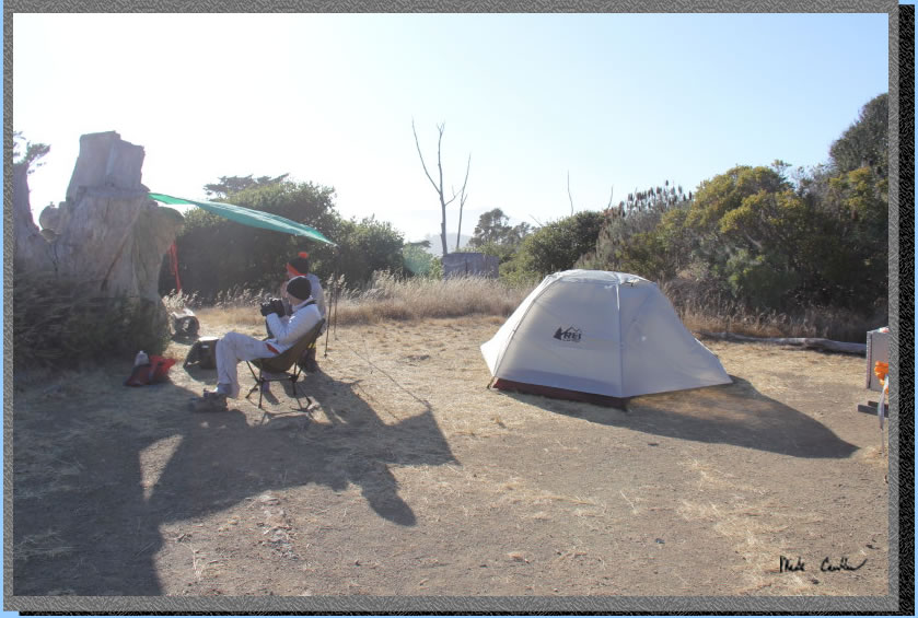
Tyler found a big chair to rest in.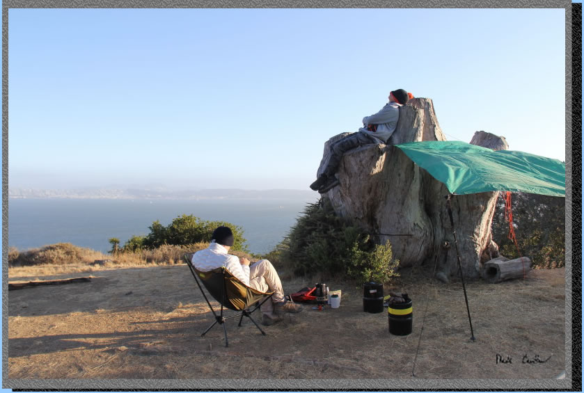
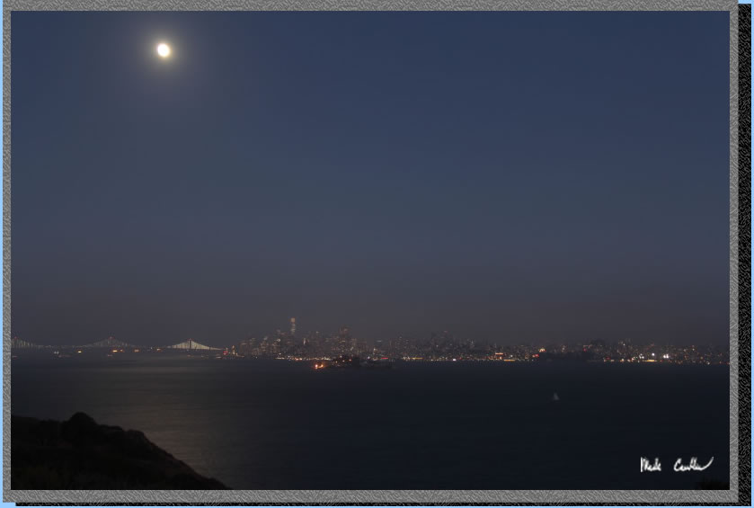
Eventually it got dark and the moon came out to make it a little brighter.The haze makes it look lie a soft filter is on this image.
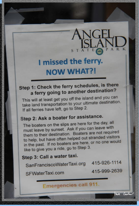
There was a breeze that night but the fog stayed mainly above us. Not to say there wasn't some moisture in the air. It can get downright gusty/wet on this side of the island if the fog conditions are right. We woke up and packed up and headed back before the day got too warm. We had some time to kill at the dock and I ran across this sign at the ranger kiosk. I wonder what a water taxi costs...
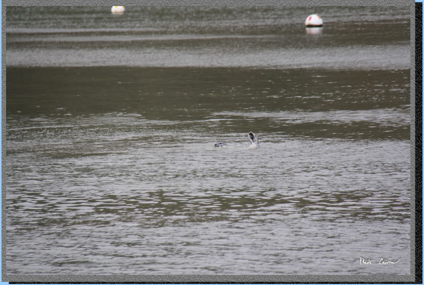
We watched some seals do some serious underwater (and sometimes above water) wrestling. Here is one shot I captured.
Make sure that this island is on your to-do list. Even if you are not a history buff you will still find plenty to explore on the island. If you want a little nighttime adventure (and some killer views) try the hike up to Mount Ida Livermore. Scroll down for the map/profile/parking.
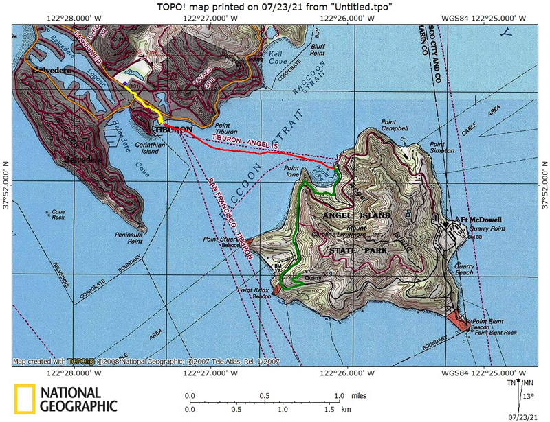
GPS on this
trip shows the trek from the car in lot "A" (see map at bottom of page) to dock in yellow (0.6 miles) and then the ferry ride in red (~1.25 miles) and then the walk from the dock to Ridge #4 using the stairs SW of Visitor Center in green (~1.6 miles). Click on the map to see the larger version .
.
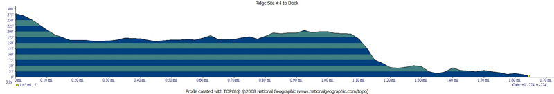
Profile on the way from camp to the dock on the way out.
Click on profile to see full size.
PARKING:
Overnight parking
is allowed in lots A, B, D (pricing makes you want to avoid D as
of 04-2019). The star on this map is the dock for the Tiburon Ferry.
Click on map to see larger version.