![]()
 Permit
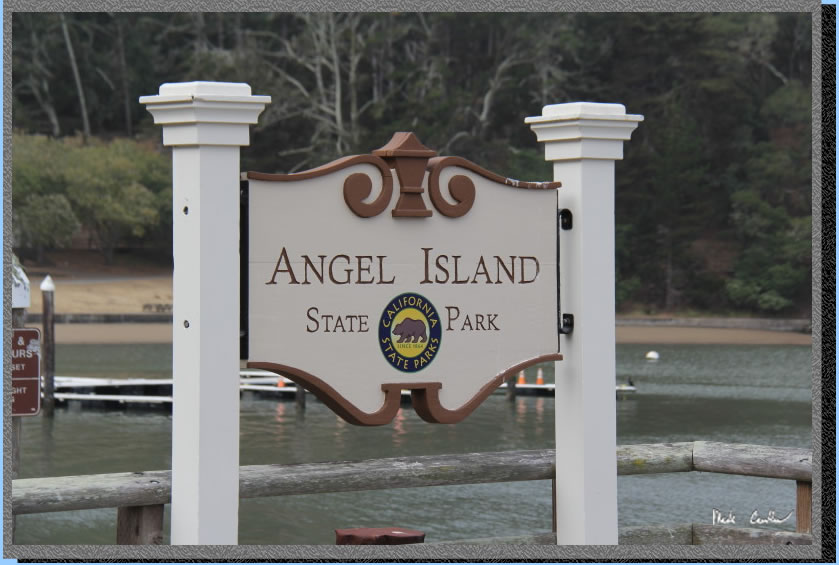
- A permit is required for all overnight stays on Angel Island. Permits
can be obtained using the state park website at www.reservecalifornia.com.
Permit
- A permit is required for all overnight stays on Angel Island. Permits
can be obtained using the state park website at www.reservecalifornia.com.
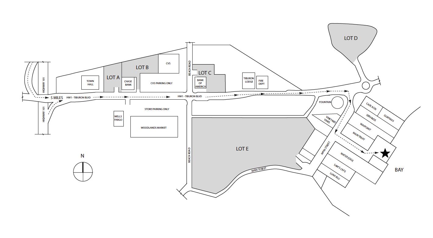
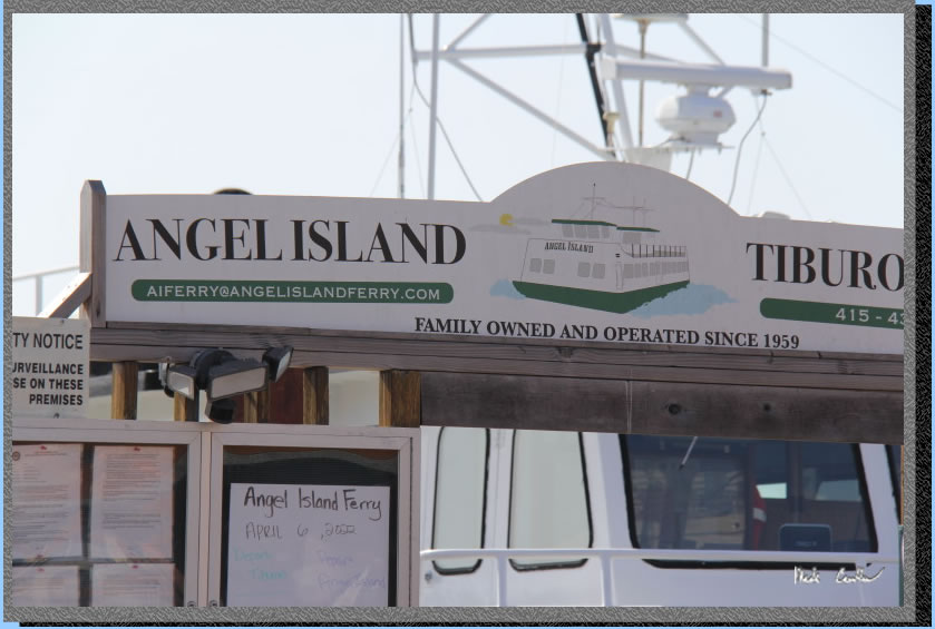
Transportation/Parking - Your options include private charter, Tiburon Ferry or Blue and Gold. Be sure to check the ferry schedules prior to making your reservation. Ferry service is limited in the off season. For parking in Tiburon see map below map/profile. Parking is credit card at Lot A and Tiburon Ferry you can reserve ahead on website (choose camper rate).
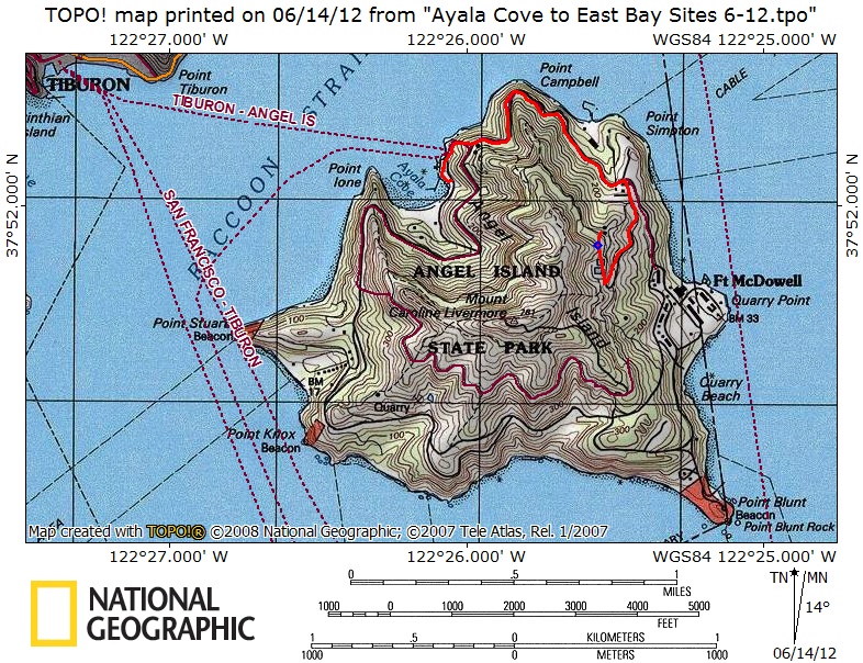
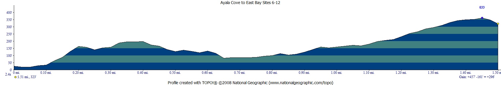
Mileage - We did 1.5 miles on the way in (walk from ferry dock to campsite). Your mileage may vary depending on your campsite and route/exploring selection. See map/profile below. Trail map is here.
Camps/Water - There is a bathroom (pit toilet), trash can, and water at each group of campsites. Once you check-in with ranger after reaching dock there is a bathroom and cafe (seasonal). Winter storms have closed the cafe as of 07-2023 (should be open summer 2024 after repairs).
Hazards - Mice, raccoons, Poison Oak, missing your ferry. Nearest Ranger # 415-435-1915 (always check with ranger ahead of time for current water/trail conditions).
Sarah and I made this trip to Angel Island.
For other site descriptions use these links (trip to Sunrise site #8 in 2010, East
Bay site# 2 in 2013 and Ridge site in 2021). Sunrise camp has uninterrupted views, but East
Bay site #1 is big, away from neighbors, and has shade and some shelter
from wind. I think all three East Bay sites rock compared to Sunrise
on the whole. The Ridge sites are the most exposed, but have the killer
views of the San Francisco skyline. Ridge site #4 has the best views
but no shade and no shelter should the wind/weather head in. Each group
of sites has a water faucet and pit toilet. We used the Tiburon
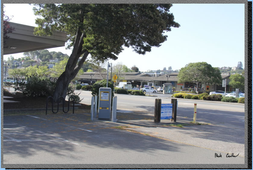
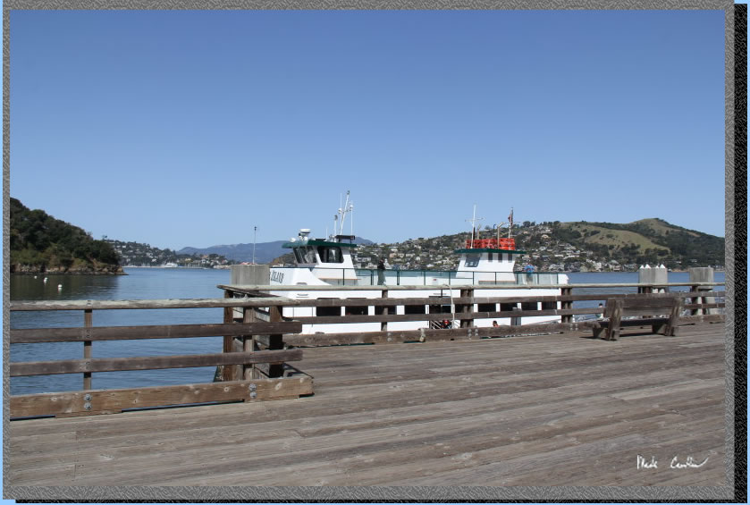
Ferry on this trip. It is about a ten minute ferry ride to Angel Island. We parked at lot "A" which is a couple blocks from the ferry.
Parking in lot "A" has a machine but some of the other lots are cash only. The ferry is supposed to be reservation only. However, we saw people paying in person. Here
is lot "A" adjacent to the civic center.
. 
We had booked the 11 am ferry on this trip. If you are looking for food/caffeine there is Cafe Acri on the corner. I have eaten here a couple times and food was good (and it is still recommended by the locals). It is a nice urban stroll to the ferry dock that is hard to mess up.
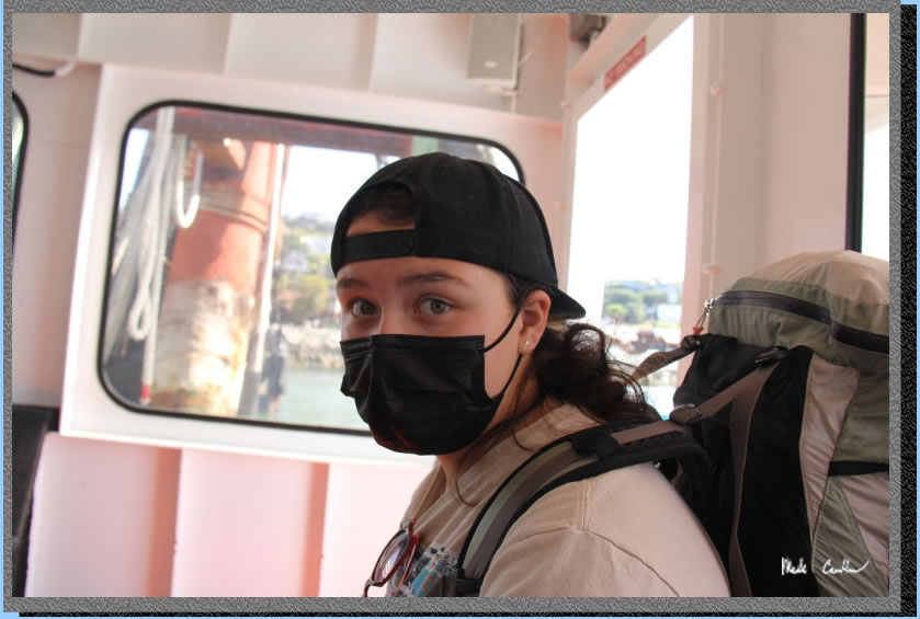
Masks were required on mass transit still. Here is Sarah showing off the latest in Covid fashion.
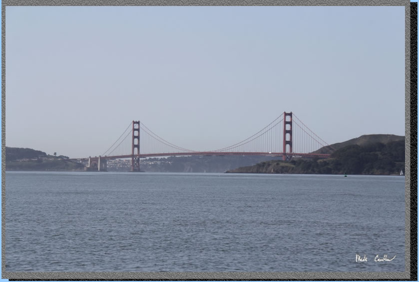
Be sure to enjoy the views (assuming no fog) of the Golden Gate on the ride to Angel Island. City views will be on the starboard side on the way in (that is on the right).
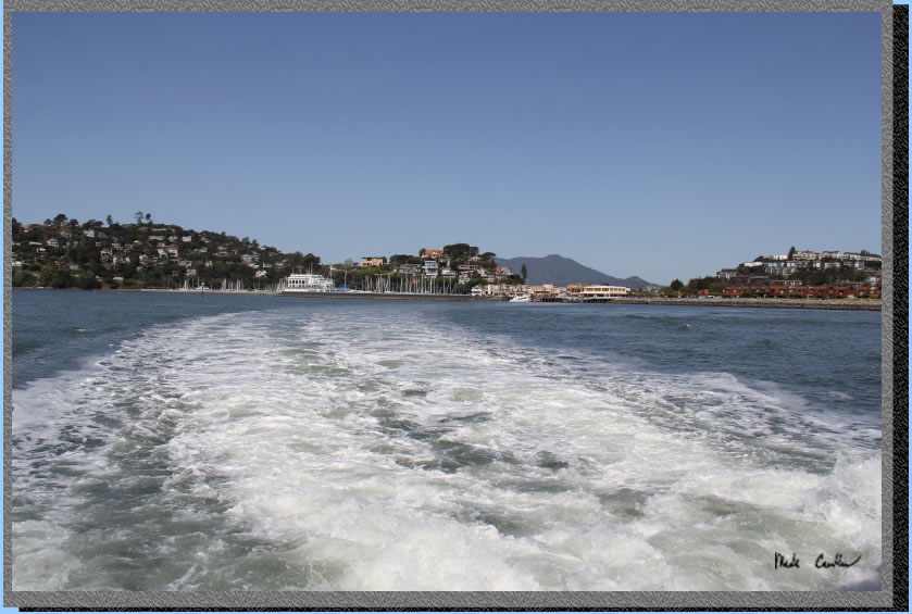
Looking back at Tiburon. Beautiful clear day.
We are waiting for the ranger to check us in. After you get off the ferry you need to head over to the ranger kiosk. Rangers make sure all the ferry passengers have debarked first, so take your time when getting off the ferry. 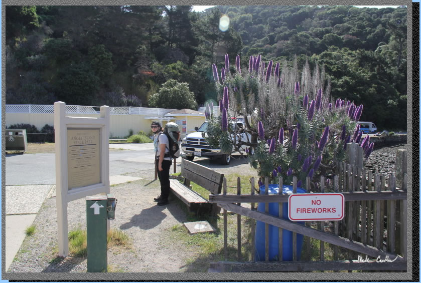
The ferry/dock. Waiting for the ferry has areas marked that really only come into play if it is busy and there is a line to get on. Of course waiting there also lets the ranger know where you are headed.
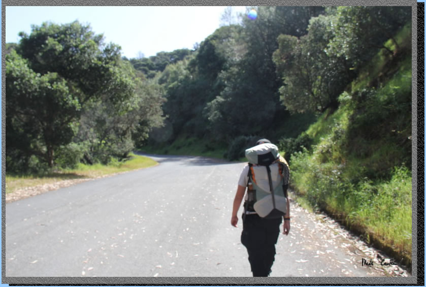
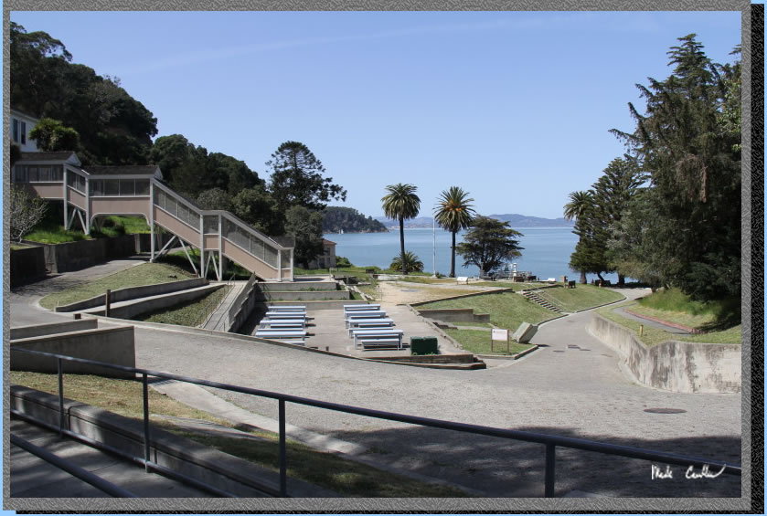
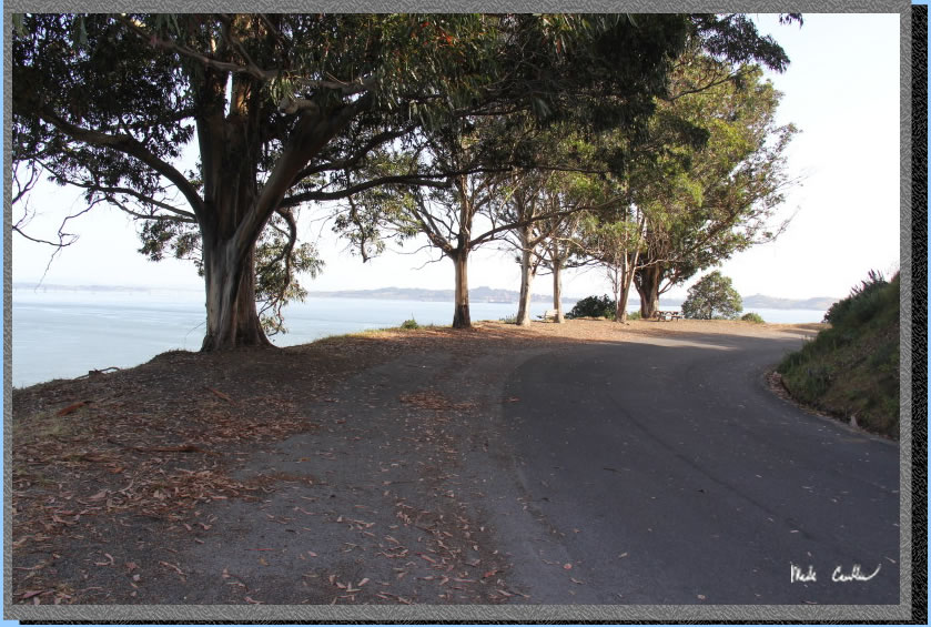
After we checked in with the ranger and went over the rules we hiked past the cafe to the stairs that take you up to the Perimeter Road. Here is the view of the road.
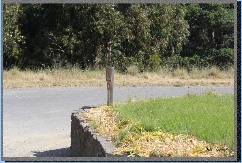
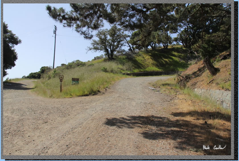
After you pass the Immigration Station take a right at the gravel road up the hill.
Image of the sign looking back down the hill.
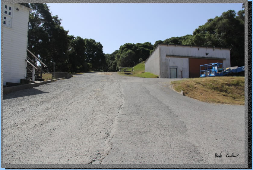
Here is the
view up the hill. You pass some of the maintenance areas of the island.
Follow the fire road past the water spigot and look for another sign directing you to East Bay sites on the right, uphill.
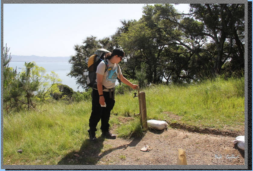
Here is the right turn, you go up and around past the fenced off water tanks.
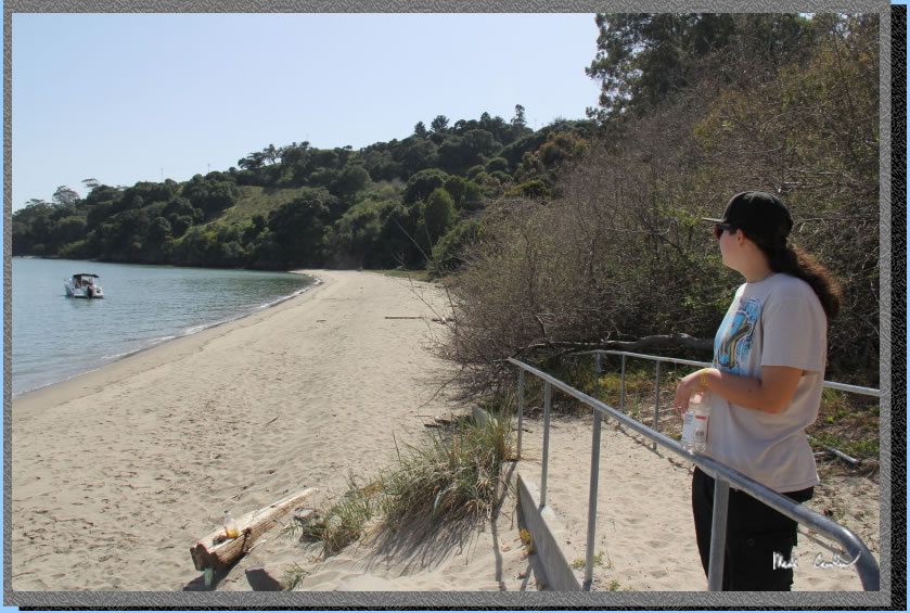
We setup camp and decided to do a bit of exploring. We hiked down to the Immigration Station first. Here is the view off to the beach.
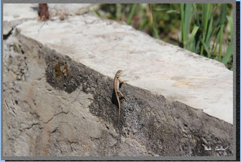
Saw some wildlife hanging around.
They have done a great job on the route finding and have many of the historical sites with information boards.
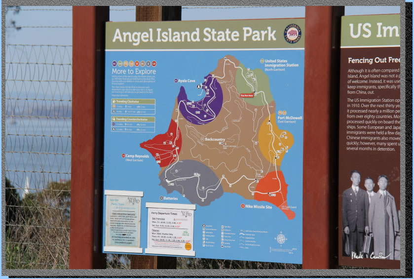
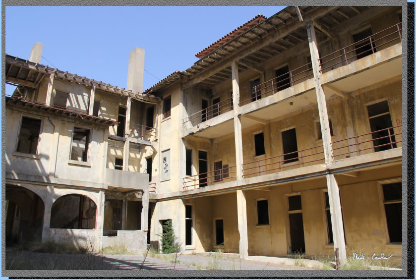
We also explored Fort McDowell (East Garrison).
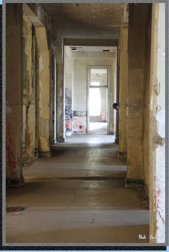
The abandoned buildings are in pretty good shape considering the age and sea air.
We also went out to Quarry Beach for the Bay Bridge and City views.
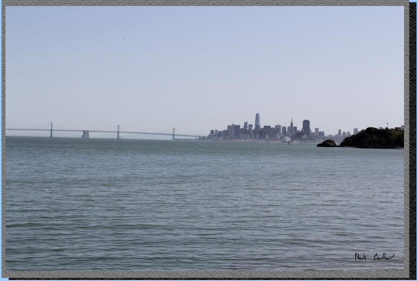
There is a nice sand beach here if you want to test the water temperature or lay out.
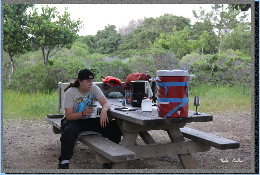
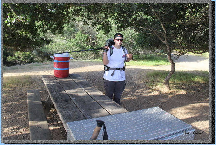
Here we are back at camp. No, I did not pack in the 5 gallon water cooler. Water spigots normally at camp were not working so they brought in water for each site to use.
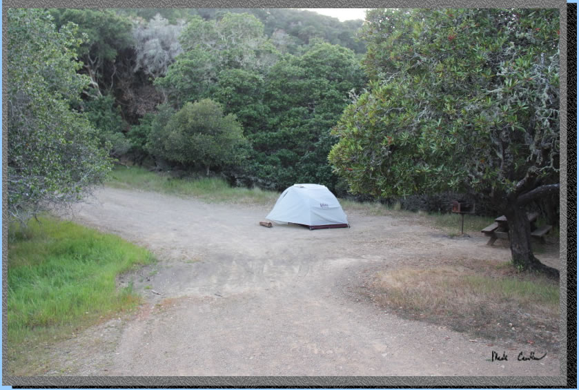
We pitched our tent in the first clearing on the way into camp. The weather is usually mild out here. This is typically the less windy side. Sitting around camp you can watch the shipping traffic come through, and usually hear a fog horn/buoy at night.
Packing up the next day. I tend to just pack my bear canister on these trips where mice may be a problem. The mileage is short enough that I don't worry about the extra weight. Finding your breakfast nibbled on the next morning is never a good time. 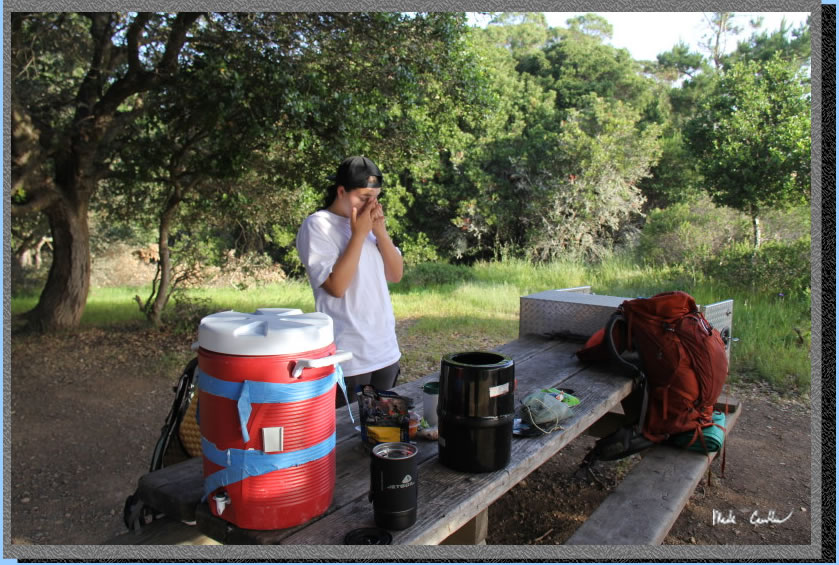
Loaded up and headed out now. I think Sarah is telling me which way to go.
We went out the way we had come in utilizing the Perimeter Road. Views to the east to Richmond Bridge. There are plenty of benches and tables around the island to take a minute to take in the views.
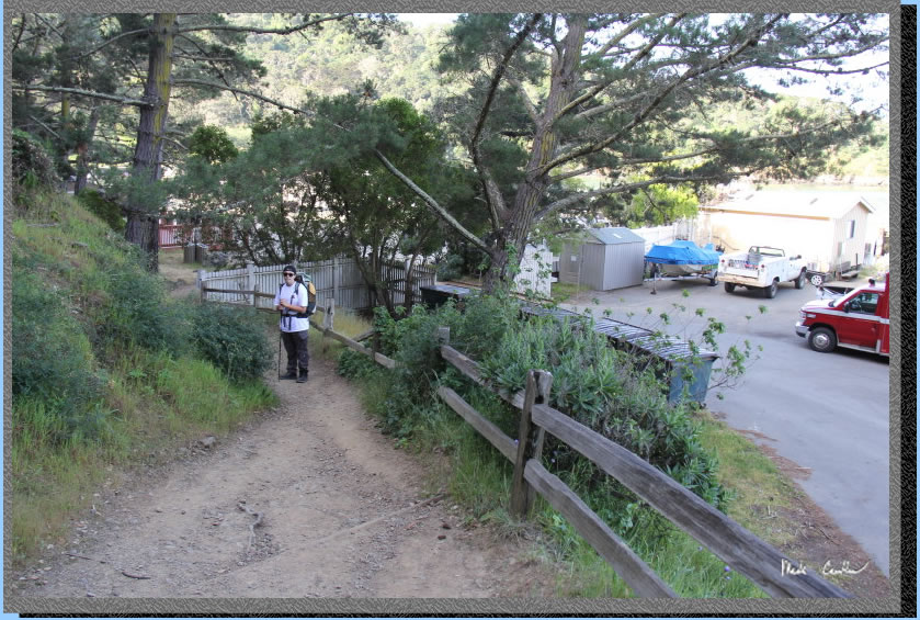
Headed down the stairs past the service dock. Sarah is at the bottom looking back up at me descending.
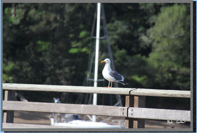
Another great trip to this historic island. This friendly seagull watched us as we boarded the ferry back to Tiburon. I told him I would be back.
Red line shows the hike from the dock to camp using the Perimeter Road. Profile below.
Click on either one for a larger version.
PARKING:
Overnight parking
is allowed in lots A, B, D. The star on this map is the dock for the Tiburon Ferry.
Click on map to see larger version.